


03-25-2026
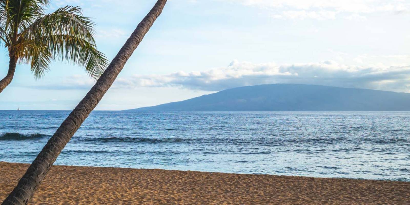
Erosion at Kaanapali Beach
We may earn a commission when you book or buy through links on this page.
Erosion at Ka'anapali Beach
Beachwalk Damage and the Current Restoration Record

Co-authored by Hawaii Guide founders Tori C. Derrick and John C. Derrick.
We may earn a commission when you book or buy through links on this page.
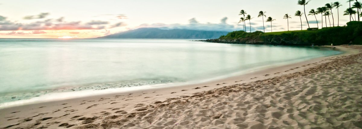
Ka’anapali Beach is three miles of white sand on West Maui’s resort strip — the kind of beach that gets put on magazine covers. Chronic and extreme seasonal erosion has also damaged the Beachwalk and changed the amount of usable sand along parts of the resort shoreline.
That event made national news and put a sharper edge on a problem West Maui had been dealing with for decades: chronic shoreline erosion. The question it forced was harder than it looked: what do you do when the ocean starts reclaiming land under a major resort corridor?
What the Beachwalk Damage Showed
West Maui’s coast has always moved. The state’s current restoration record describes chronic and extreme seasonal erosion at Kāʻanapali over the previous four decades, with shoreline damage worsening as sea level and record water levels rise.
The Ka’anapali Beachwalk — the paved path running along the resort properties — sustained major structural damage. Sections were undercut and broke off. Ka’anapali Aliʼi Resort, which owns portions of the walkway, faced the question of whether to rebuild in the same location as the shoreline continued to move.
Sea-level rise and record water levels add pressure to a beach that already experiences chronic and extreme seasonal erosion. That does not make every narrow stretch permanent, but it raises the stakes for rebuilding fixed infrastructure at the water's edge.
The broken walkway made the immediate problem visible, but rebuilding in the same place does not resolve a shoreline that continues to move.
Where Things Stand Now (2026)
The clearest current official record is the Hawaiʻi Department of Land and Natural Resources' Kāʻanapali restoration project page. DLNR describes four decades of chronic and extreme seasonal erosion, with damage accelerating as sea level and record water levels rise.
The proposed regional project would place about 75,000 cubic yards of compatible offshore sand into the Hanakaʻōʻō and Kāʻanapali beach cells. DLNR presents nourishment as a mid-term buffer while managed retreat remains a longer-term process. The agency page still hosts the environmental review, plans, and 2022 procurement documents; it does not say that the full regional restoration project has been completed.
For visitors, that means old photographs are not a reliable map of today's sand width or walking route. Kāʻanapali changes with seasonal swell, and localized erosion or repairs can alter beach and Beachwalk conditions. Check current ocean conditions and follow any resort, county, or DLNR detours when you arrive; never climb over a closure to preserve a shortcut.
Get Your Free Hawai'i Guide
Instant access — opens immediately
- Beaches, activities & top spots
- Restaurant & dining recommendations
- Maps, itineraries & insider tips
Want the full offline version? Get the Complete Hawai'i Guidebook →
Related: Maui Beaches & Travel

Published by: Tori C. Derrick
President & certified Hawai'i travel expert with 15+ years of experience in Hawai'i tourism.

Published by: John C. Derrick
Founder & certified Hawai'i travel expert with 20+ years in Hawai'i tourism, University of South Carolina climate-research training, and NOAA weather-station experience.
Affiliate Disclosure: We may earn a commission when you book or buy through links on this page. See our Ad Disclosures & Standards.

Need help planning?
Search & Planning Chat →

Hawaiʻi Weather Forecast
Today’s Weather Brief · Audio · ~45s
0:00
0:54
Read the transcript
Trades are breezy right now with scattered showers on the windward side and mountains; the leeward coast stays mostly dry. Tomorrow stays breezy with the same pattern.
A tropical disturbance southeast of the islands is likely to become a tropical storm by mid-week and approach the state Thursday through Saturday. The exact track is still uncertain. If it comes closer, expect heavier rain over a longer stretch; if it stays farther out, impacts will be shorter and lighter. Winds will increase late this week, with potential gusts over 70 miles per hour on the highest summits.
Plan your leeward beach time and snorkeling for today through Tuesday. Save summit drives and offshore water sports for after Saturday, and check updates daily as this develops.
Created with AI from the official NWS forecast discussion · verify with NWS before heading out
Loading forecast…
Temperature
Weather data by Open-Meteo.com
Current Time in Hawaiʻi
--:----
Hawaiʻi Standard Time · UTC−10 · No Daylight Saving
You’re on Hawaiʻi timeMainland US
International
Aloha Today daily podcast →
Full HST breakdown, FAQ & DST schedule →

Get Your Free Hawaii Visitor Guide
Enter your email and we'll send you instant access to our free 2026 Hawaii Starter Guide + Summary Guidesheets.