

Located mauka (inland) half-mile past mile marker 11 on the Hana Highway you'll find Haipua'ena Falls. There is a short trail on the far side of the bridge that can give you an up close and personal view of the falls and pool. A larger falls upstream feeds Haipua'ena but the hike is usually slippery and a risk. On our last visit the lower falls was all that was easily visible. We attempted to get to the upper falls, along with some other folks, and none of us could do it (or were not willing to take the risk up the steep and muddy slope). If you're a die-hard waterfall fan, this stop might be worth the trouble to get to the falls. If not, keep on driving... there are better things ahead.
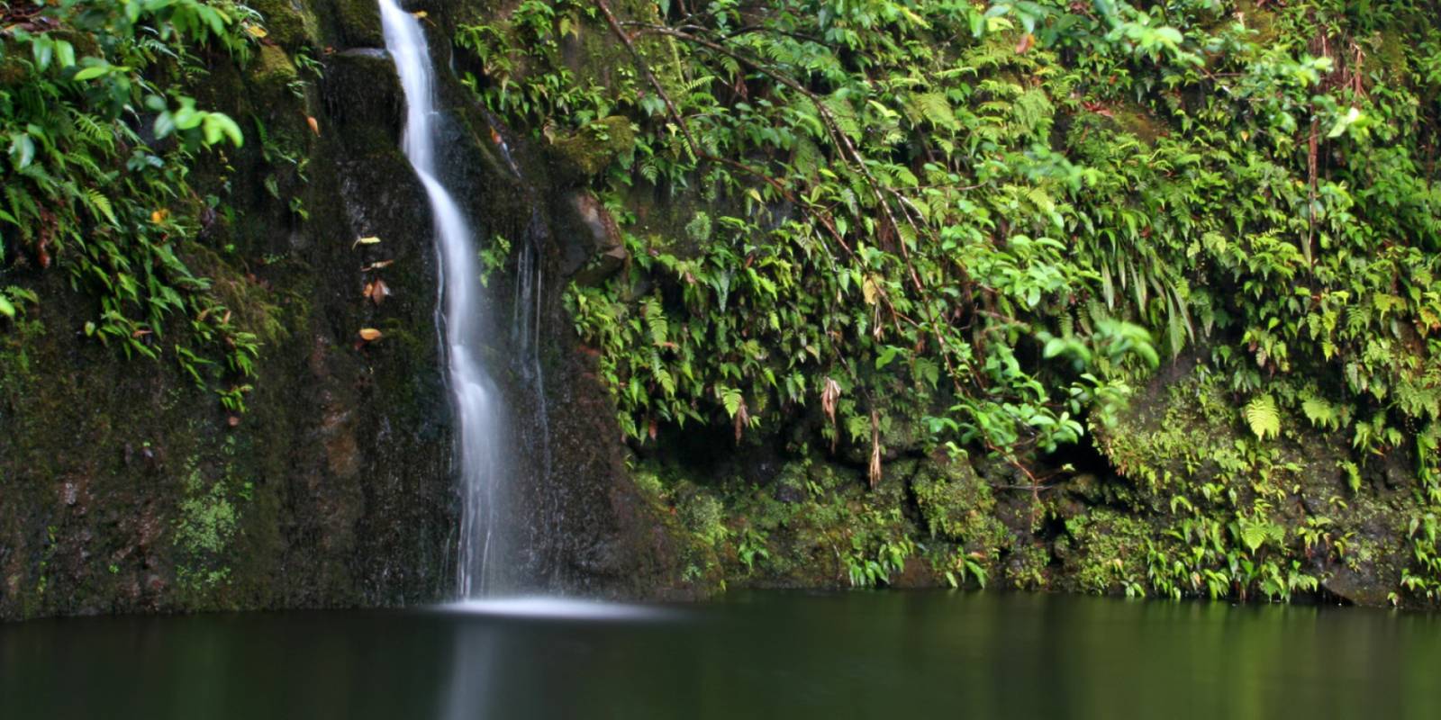
Haipuaena Falls | Maui Hawaii
We may earn a commission when you book or buy through links on this page.
Haipuaena Falls
Located within the Hana Highway Region on Maui

Published by: John C. Derrick
Founder & certified Hawai'i travel expert with 20+ years in Hawai'i tourism, University of South Carolina climate-research training, and NOAA weather-station experience.
Geolocation Data
Geographic Coordinates
Latitude: 20.86637638
Longitude: -156.1758442
Hawaii Safety Information
Haipuaena Falls Photo Gallery




Recommended Tours Nearby
Affiliate Disclosure: We may earn a commission when you book or buy through links on this page. See our Ad Disclosures & Standards.
Accessibility
No wheelchair-accessible parkingNo wheelchair-accessible entrance
Parking
Free street parking
Accessibility & parking data from Google. Confirm on the ground before your visit.
What's Nearby
Beaches

Attractions

Garden of Eden Botanical Arboretum
0.5 mi
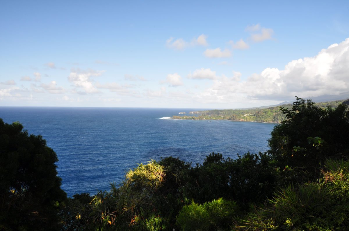
Kaumahina State Wayside Park
1.2 mi

Honomanu Bay Lookout
1.6 mi
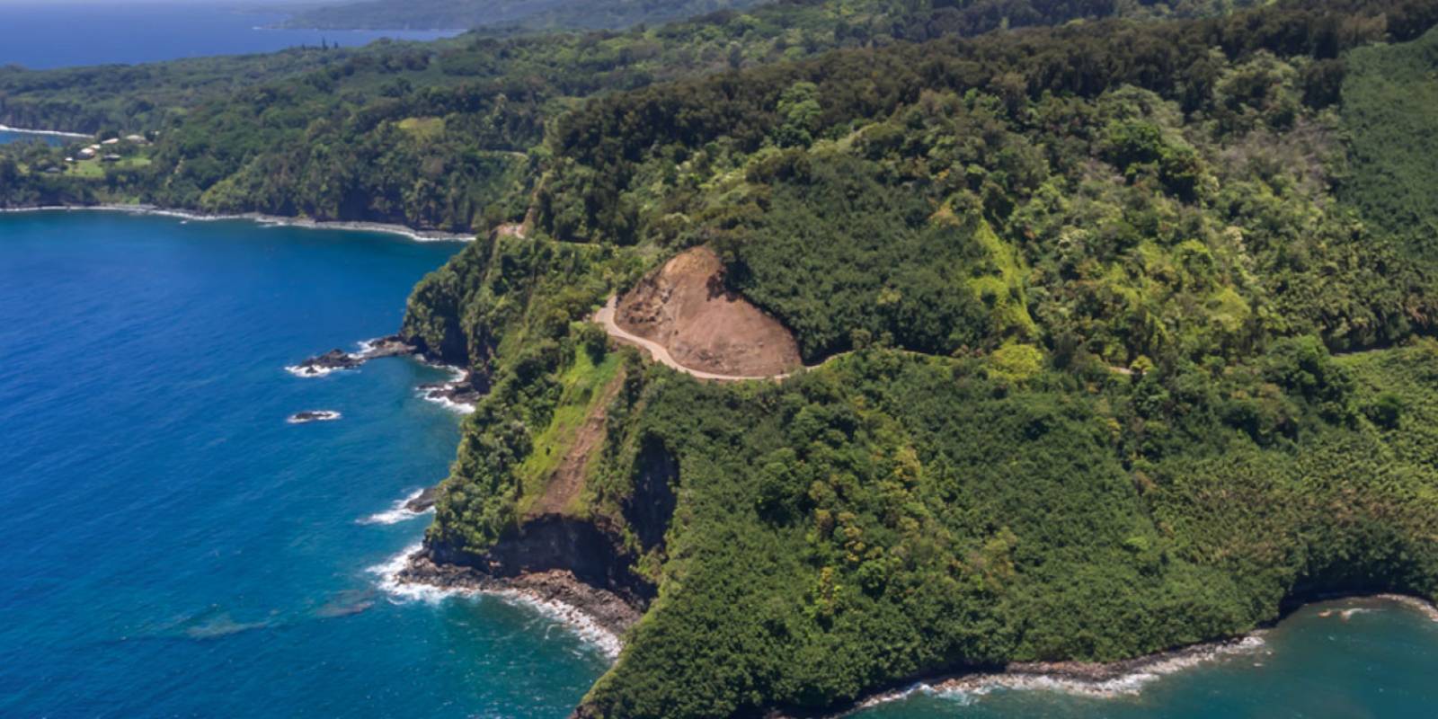
Road to Hana
1.7 mi
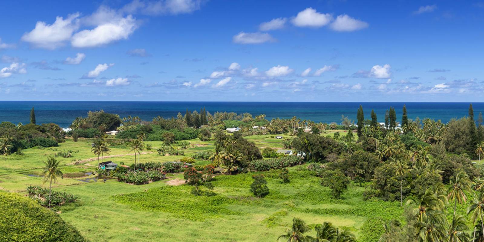
Ke'anae Peninsula
2.5 mi
Hiking Trails

Need help planning?
Search & Planning Chat →

Hawaiʻi Weather Forecast
Today’s Weather Brief · Audio · ~45s
0:00
0:54
Read the transcript
Trades are breezy right now with scattered showers on the windward side and mountains; the leeward coast stays mostly dry. Tomorrow stays breezy with the same pattern.
A tropical disturbance southeast of the islands is likely to become a tropical storm by mid-week and approach the state Thursday through Saturday. The exact track is still uncertain. If it comes closer, expect heavier rain over a longer stretch; if it stays farther out, impacts will be shorter and lighter. Winds will increase late this week, with potential gusts over 70 miles per hour on the highest summits.
Plan your leeward beach time and snorkeling for today through Tuesday. Save summit drives and offshore water sports for after Saturday, and check updates daily as this develops.
Created with AI from the official NWS forecast discussion · verify with NWS before heading out
Loading forecast…
Temperature
Weather data by Open-Meteo.com
Current Time in Hawaiʻi
--:----
Hawaiʻi Standard Time · UTC−10 · No Daylight Saving
You’re on Hawaiʻi timeMainland US
International
Aloha Today daily podcast →
Full HST breakdown, FAQ & DST schedule →

Haipua'ena Falls
Get Your Free Hawaii Visitor Guide
Enter your email and we'll send you instant access to our free 2026 Hawaii Starter Guide + Summary Guidesheets.