
Oʻahu
Honolulu baseline
Weather
Loading…
Current temperature and wind
Offshore waves
Loading…
Model height and period
We may link to trusted Hawaiʻi resources at no extra cost to you.
Hawaiʻi changes by the hour and by the shore. The North Shore can be flat at dawn and firing by lunch; the summit of Haleakalā can be socked in while the coast bakes; Kīlauea can light up overnight. These cams let you see it for yourself in real time. The surf and beach streams below play right on this page, and the USGS volcano cams update automatically when a fresh image is available.
 Live
Live
The North Shore's most famous wave, live. In winter (roughly Nov–Feb) this is where the world's best surfers chase barrels; in summer it lays down to glass.
 Live
Live
The Waikīkī Aquarium's panoramic view across Oʻahu's south shore. Use it to check surf, haze, and visibility before a Waikīkī beach or Kapiʻolani Park stop.
 Live
Live
A south-facing live view from Hale Pau Hana on Kamaʻole Beach Park II. It fills the Kihei gap for checking surf, beach activity, and South Maui skies.
 Live
Live
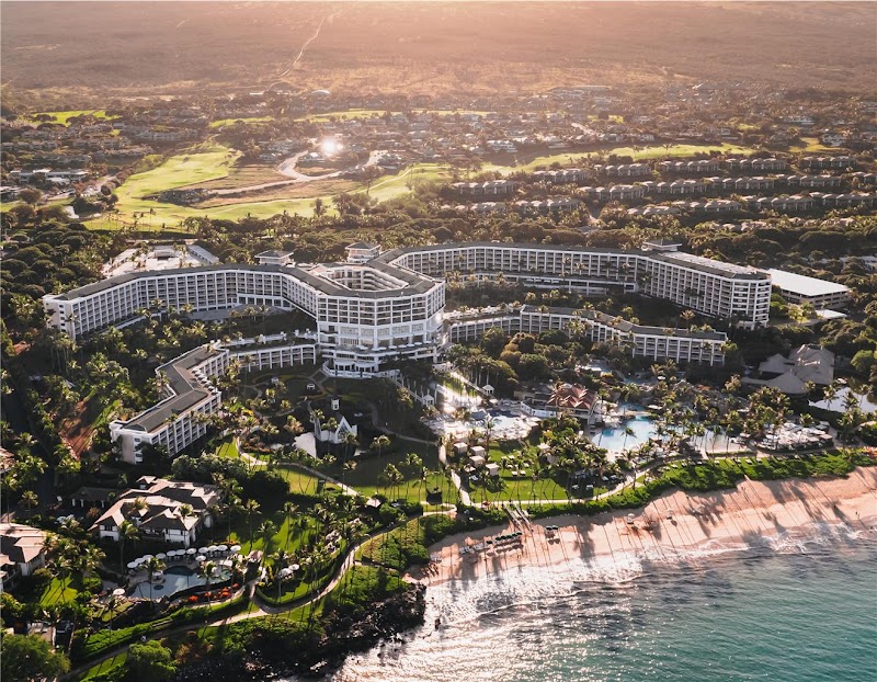
A high-angle view over Grand Wailea's pools toward the South Maui coast. The resort broadcasts live from 5:00 a.m. to 7:30 p.m. HST, then replays a time-lapse overnight.
 Live
Live
A live south-shore view from Lawai Beach Resort near Koloa. Use it to check cloud cover, shoreline conditions, and how the water looks before heading toward Poʻipū.
 Live
Live
USGS's south-rim live view into Halemaʻumaʻu crater — when a fountaining episode is underway, this is the front-row seat. If the stream shows as ended, USGS has restarted it; find the current feed at youtube.com/@usgs/streams.
 Live
Live
A second official USGS angle across west Halemaʻumaʻu. Compare it with V3cam when volcanic activity or weather obscures one part of the crater.
 Live
Live
An underwater live view of fish and reef activity off the Kona coast, streamed by MEGA Lab. It is a useful contrast to the island's beach and volcano cameras.
 Volcano
Live
Volcano
Live
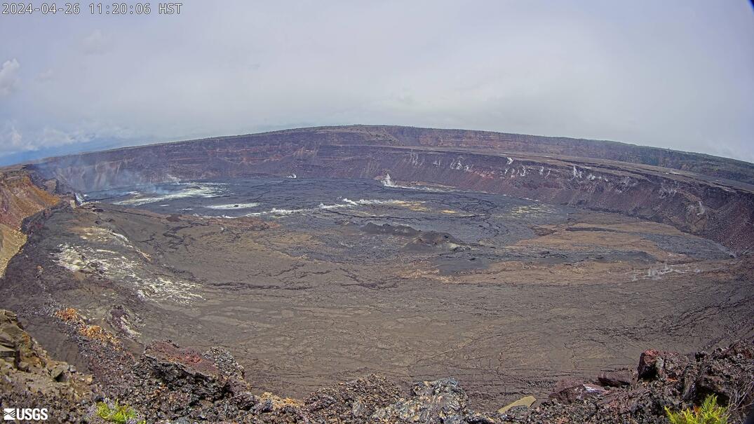
Wide panorama across Halemaʻumaʻu crater from Kīlauea's west rim — the headline view during summit eruptions.
 Volcano
Live
Volcano
Live
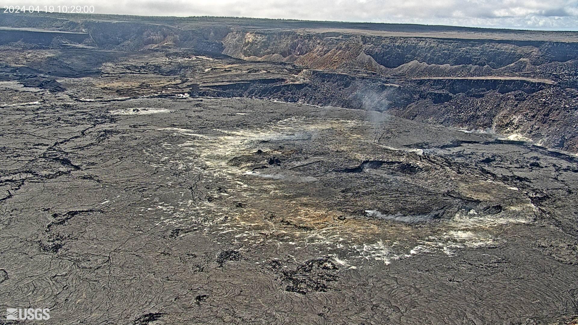
The down-dropped caldera block and Halemaʻumaʻu seen from the east rim. Watch for glow at night during active periods.
 Volcano
Live
Volcano
Live
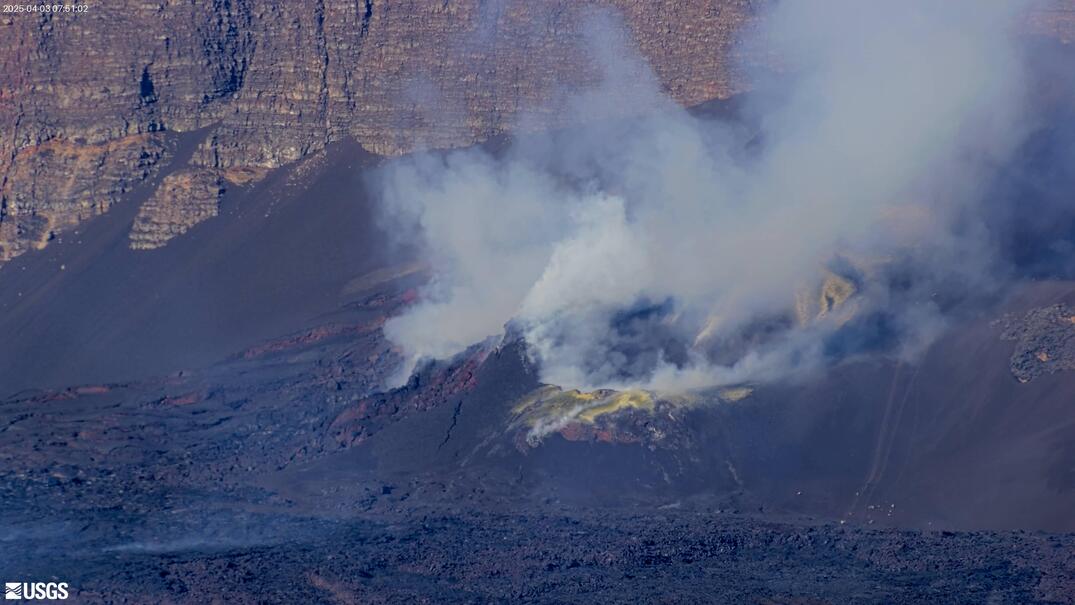
Close-up on the west side of Halemaʻumaʻu, where recent eruptive vents and fountaining have appeared.
 Volcano
Live
Volcano
Live
The east side of the crater floor — paired with the west cam, it covers the full active vent area.
 Volcano
Live
Volcano
Live
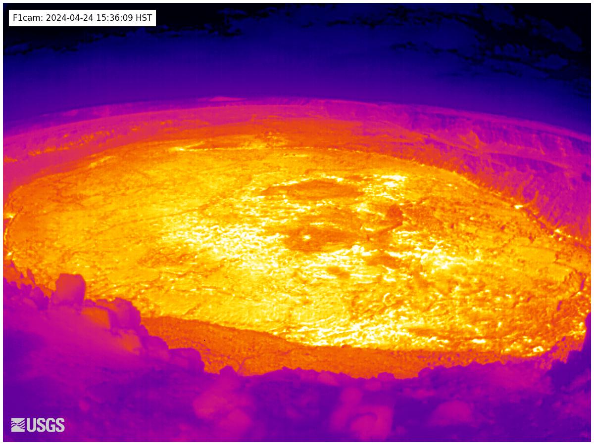
A thermal (heat) view of the summit caldera. Bright spots are hot — it reveals active lava even through gas and at night.
 Volcano
Live
Volcano
Live
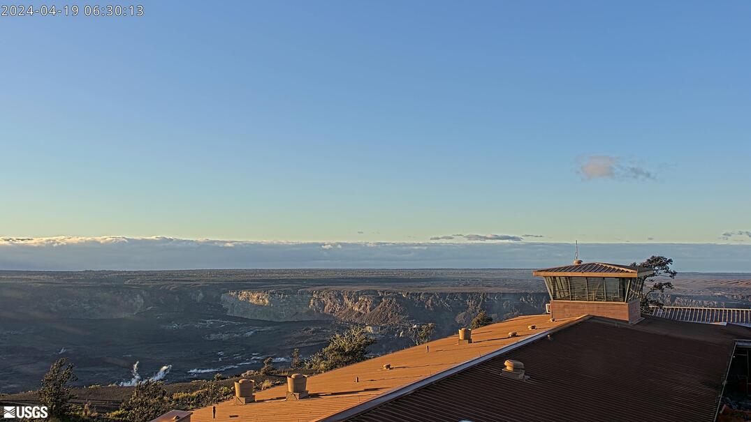
The classic wide shot of Kīlauea's summit caldera (Kaluapele) from the Uēkahuna overlook near the old Jaggar Museum.
 Volcano
Live
Volcano
Live
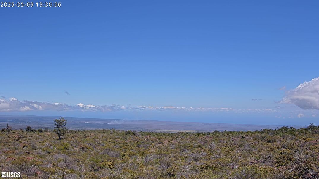
A distant look back at the summit from higher up the Mauna Loa Strip Road — best for gauging plume height and weather.
 Volcano
Live
Volcano
Live
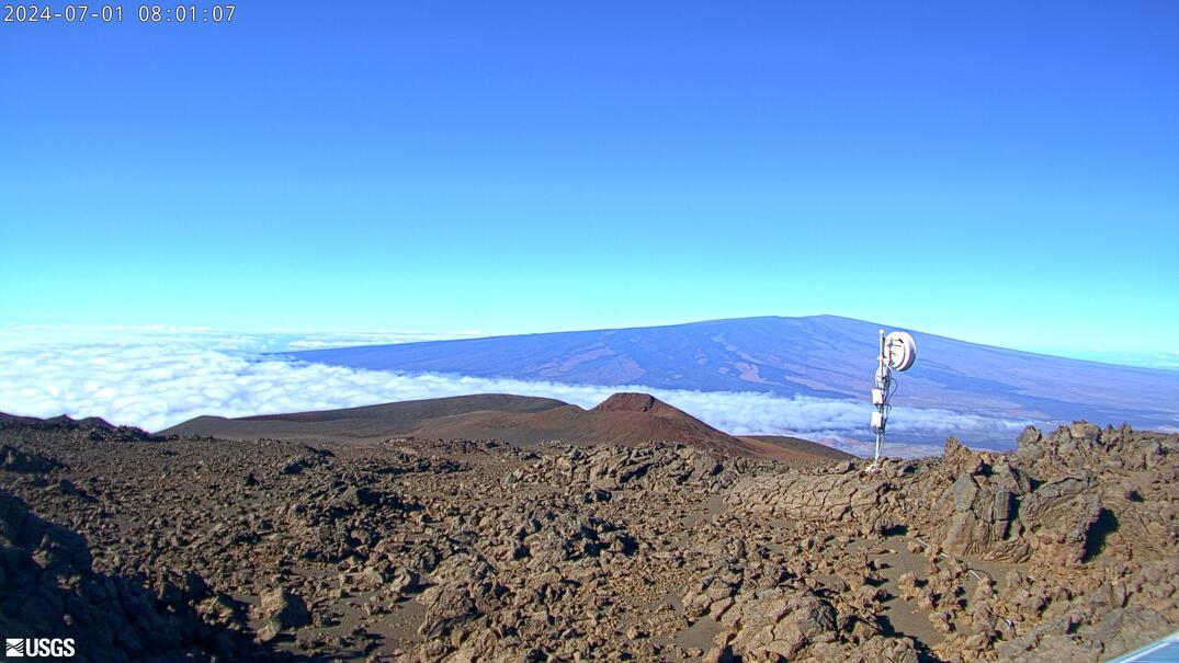
The summit caldera of Mauna Loa, the world's largest active volcano. It last erupted in November–December 2022.
 Volcano
Live
Volcano
Live
A view across Mauna Loa's northwest flank, the zone that fed the 2022 lava flows toward the Daniel K. Inouye (Saddle) Highway.
 Beach
Live
Beach
Live
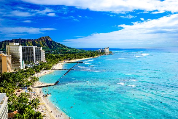
Hawaii's most famous beach in real time — check the crowd, the surf on the south shore, and whether Diamond Head is in the clear.
 Surf
Live
Surf
Live
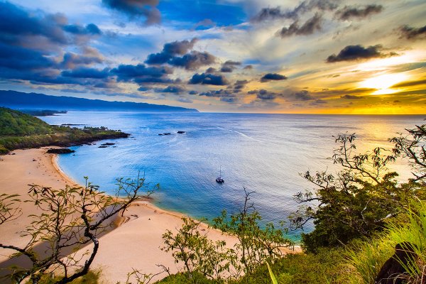
North Shore icon. Flat and family-friendly in summer; a giant, serious big-wave arena when winter swells light it up.
 Surf
Limited free view
Surf
Limited free view
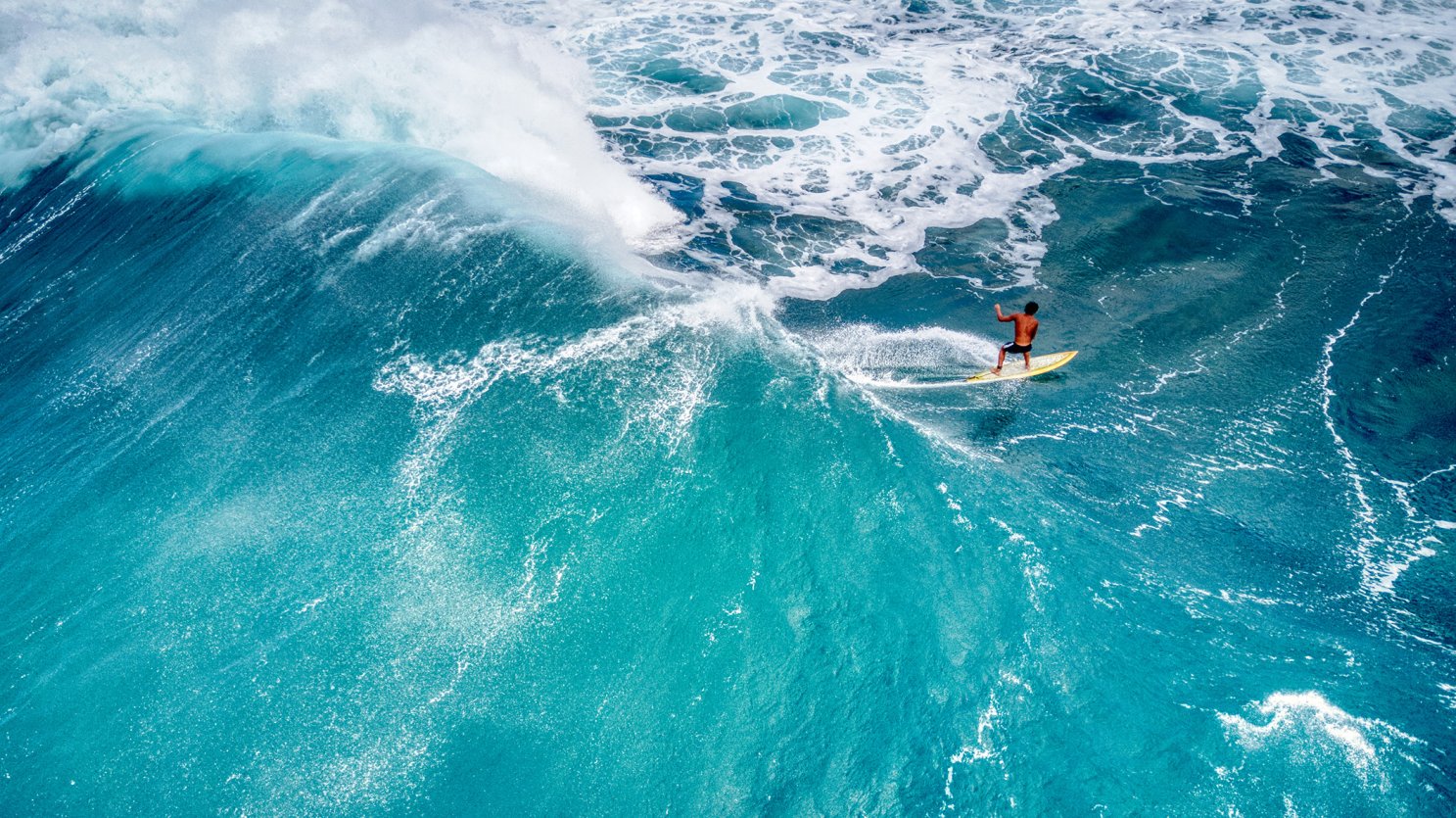
One of the most consistent big-wave spots on the North Shore. The Surfline report shows the cam plus swell and wind.
 Surf
Limited free view
Surf
Limited free view
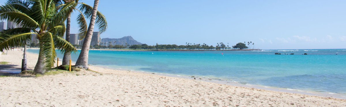
A south-shore reef break near Ala Moana Beach Park that fires on summer (May–Sep) swells.
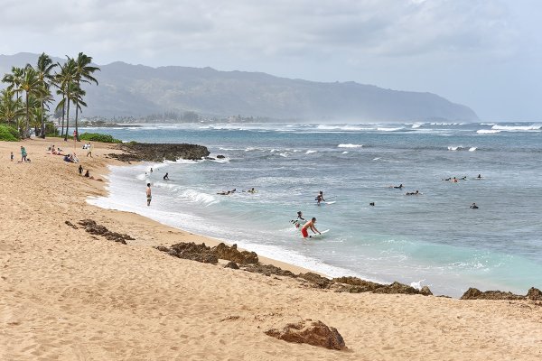 Surf
Limited free view
Surf
Limited free view
The gateway town to the North Shore. The Aliʻi Beach break is popular with long- and shortboarders alike.
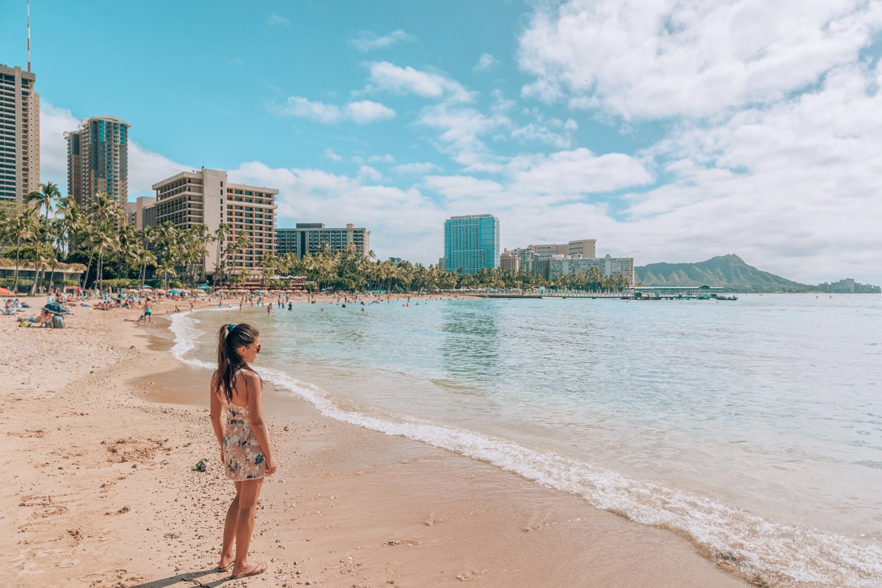 Scenic
Live
Scenic
Live
A rotating set of weather-camera views, including Honolulu-area and neighbor-island locations — useful for a quick statewide conditions check.
 Beach
Live
Beach
Live
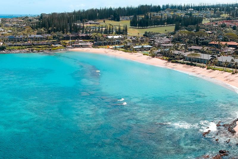
A 4K view across Nāpili Bay from afarTV. Opens in a new tab — the stream cycles offline for maintenance and is not currently offered as an embeddable feed.
 Scenic
Live
Scenic
Live
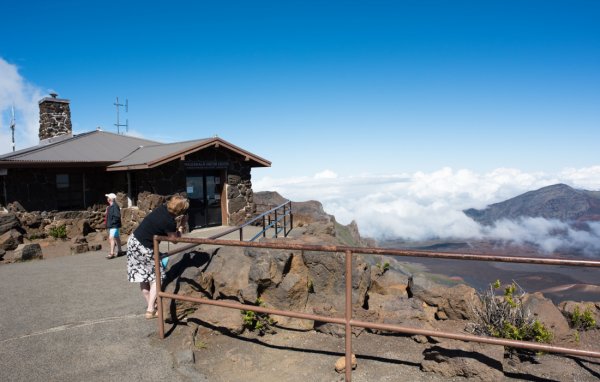
Conditions at the 10,023-foot summit. Check cloud cover before committing to the pre-dawn sunrise drive — clear skies make the trip.
 Scenic
Live
Scenic
Live
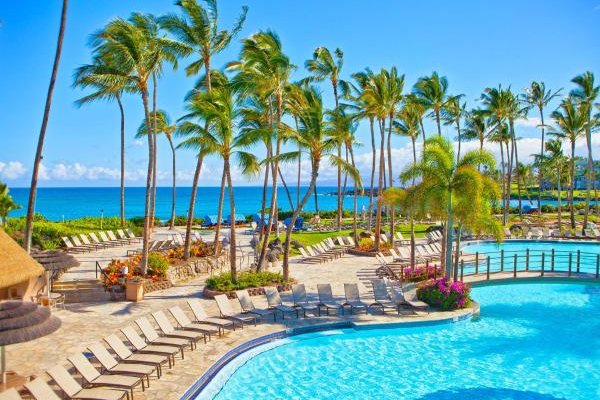
A live look across the Hilton Waikoloa Village lagoon. Use it to check Kohala Coast skies, visibility, and wind on the water before a west-side outing.
 Surf
Limited free view
Surf
Limited free view
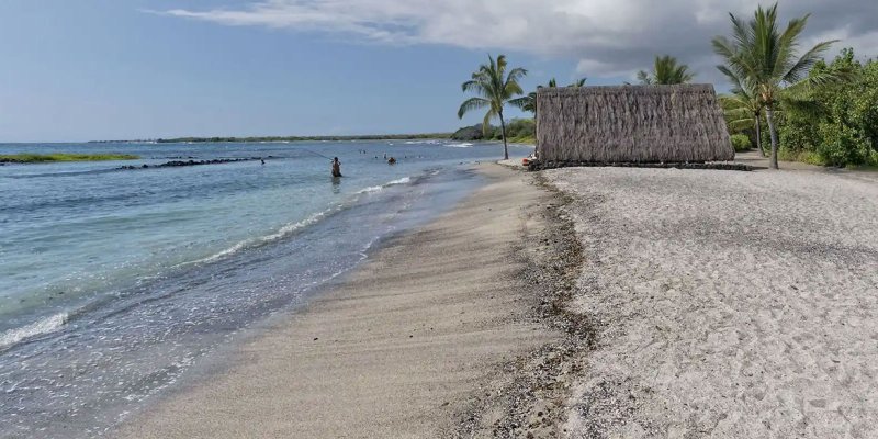
A Kona-coast reef break on the sunny west side, a local favorite that picks up south and west swells in summer.

Published by: John C. Derrick
Founder & certified Hawai'i travel expert with 20+ years in Hawai'i tourism, University of South Carolina climate-research training, and NOAA weather-station experience.

Published by: Tori C. Derrick
President & certified Hawai'i travel expert with 15+ years of experience in Hawai'i tourism.

Need help planning?
Search & Planning Chat →

Trades are breezy right now with scattered showers on the windward side and mountains; the leeward coast stays mostly dry. Tomorrow stays breezy with the same pattern.
A tropical disturbance southeast of the islands is likely to become a tropical storm by mid-week and approach the state Thursday through Saturday. The exact track is still uncertain. If it comes closer, expect heavier rain over a longer stretch; if it stays farther out, impacts will be shorter and lighter. Winds will increase late this week, with potential gusts over 70 miles per hour on the highest summits.
Plan your leeward beach time and snorkeling for today through Tuesday. Save summit drives and offshore water sports for after Saturday, and check updates daily as this develops.
Created with AI from the official NWS forecast discussion · verify with NWS before heading out
Current Time in Hawaiʻi
Hawaiʻi Standard Time · UTC−10 · No Daylight Saving
You’re on Hawaiʻi timeMainland US
International
Aloha Today daily podcast →
Full HST breakdown, FAQ & DST schedule →
Enter your email and we'll send you instant access to our free 2026 Hawaii Starter Guide + Summary Guidesheets.
