We may earn a commission when you book or buy through links on this page.
The state you leave from sets the broad outline, but your departure airport determines whether Hawaiʻi is a manageable nonstop or a full day of connections. Use the planner below to estimate the complete airport-to-airport day, understand the Hawaiʻi time difference, and decide whether driving to a larger mainland airport is actually worthwhile.
Personalized travel-day estimate
How long will it take to fly to Hawaiʻi from your airport?
Choose your state, departure airport, and Hawaiʻi arrival airport. We will separate estimated flying time from the full airport-to-airport day and translate the time-zone shift.
Quick HNL routes
Start with a mainland gateway
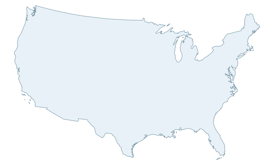
Choose a map point or quick link to load a Honolulu estimate immediately. These are representative starting points, not a ranking; the full planner includes airports in every U.S. state.
We calculate great-circle distance between the selected airports, estimate time across the flight legs, and add a practical connection range when the route normally requires one. This is deliberately a range: airline schedules, winds, routing, layover length, and seasonal nonstop service all change the real result.
Airport names and coordinates use the OurAirports open airport dataset, reviewed and curated for this tool on July 19, 2026 HST. The planner does not display live fares or guarantee that a nonstop operates on your date.
Flights and airports
Continue planning your flight
Once the travel-day estimate makes sense, compare the fare, choose the right Hawaiʻi airport, plan your first hour after landing, or track an active flight.
Founder & certified Hawai'i travel expert with 20+ years in Hawai'i tourism, University of South Carolina climate-research training, and NOAA weather-station experience.
Affiliate Disclosure: We may earn a commission when you book or buy through links on this page. See our Ad Disclosures & Standards.
Trades are breezy right now with scattered showers on the windward side and mountains; the leeward coast stays mostly dry. Tomorrow stays breezy with the same pattern.
A tropical disturbance southeast of the islands is likely to become a tropical storm by mid-week and approach the state Thursday through Saturday. The exact track is still uncertain. If it comes closer, expect heavier rain over a longer stretch; if it stays farther out, impacts will be shorter and lighter. Winds will increase late this week, with potential gusts over 70 miles per hour on the highest summits.
Plan your leeward beach time and snorkeling for today through Tuesday. Save summit drives and offshore water sports for after Saturday, and check updates daily as this develops.
0:000:53
Voice
Read the transcript
Trade winds are pushing across Maui right now and staying breezy through tomorrow. Windward slopes and peaks will see scattered showers; the leeward side stays mostly dry. Rough seas mean a Small Craft Advisory is in effect through Tuesday evening.
A tropical disturbance southeast of the islands is likely to become a tropical storm by mid-week and approach the state Thursday through Saturday. The track remains uncertain. Late this week, winds will increase across Maui, with summit gusts potentially exceeding 70 mph on Haleakala. The Big Island—especially Hilo and Puna—faces the highest risk of heavy rain and flooding if the storm tracks close.
Leeward beaches and snorkeling work best today through Tuesday. Avoid summit hikes and offshore water sports Thursday through Saturday.
0:000:55
Voice
Read the transcript
Trades are kicking today with moderate wind and rough seas. Windward slopes will see scattered showers; the leeward side stays mostly dry. A Small Craft Advisory is in effect through Tuesday evening.
A tropical disturbance southeast of the islands is likely to become a tropical storm by mid-week and approach the state Thursday through Saturday. The track remains uncertain, but the Big Island faces the highest risk of heavy rain and flooding, especially in the Hilo and Puna areas. Summit winds could exceed 70 mph late in the week. Check forecasts daily as the situation develops.
Leeward snorkeling and beach time work well through Tuesday. Save summit drives and windward hikes for today or tomorrow, and avoid offshore water sports and high elevations Thursday through Saturday.
0:000:58
Voice
Read the transcript
Trades are steady now with scattered showers on the windward side and ridges; the leeward coast stays mostly dry. Through Tuesday it stays breezy with rough seas around Maui and the Big Island, where a Small Craft Advisory is in effect through Tuesday evening.
A tropical disturbance southeast of the islands is likely to become a tropical storm by mid-week and approach the state Thursday through Saturday. The exact track is uncertain. Winds will increase across the eastern islands late this week, with potential for summit gusts over 70 mph on Maui and the Big Island if the storm intensifies.
Get your beach and snorkel time in today and tomorrow on the leeward coast. Avoid summit hikes and offshore water sports Thursday through Saturday as conditions deteriorate. The track could shift significantly—check updates daily.
Created with AI from the official NWS forecast discussion · verify with NWS before heading out