We may earn a commission when you book or buy through links on this page.
Big Island Volcanoes National Park Tours
Hilo, Kona, Volcano Tours
Big Island Volcano Tours & Activities
Hawaii Volcanoes National Park
Because the Big Island has been formed entirely by volcanic activity, your trip to this tropical paradise would not be complete without a volcano tour to see these legendary wonders of nature. Having a knowledgeable and friendly tour provider who's eager to cater to your individual preferences is key to making your adventure stellar; that’s why Hawaii Guide has found the best volcano tours on the Big Island. We think you’ll love our selections!
Booking your Big Island Volcano Tour with Hawaii Guide is so simple; we've done all the work for you. Not only is it simple... it's rewarding! We have made a commitment to give back and pay it forward. Every tour or package booked on our site will have a dedicated portion of its proceeds set aside for sponsoring sustainable and environmental charities which help preserve the beautiful islands of Hawaii.
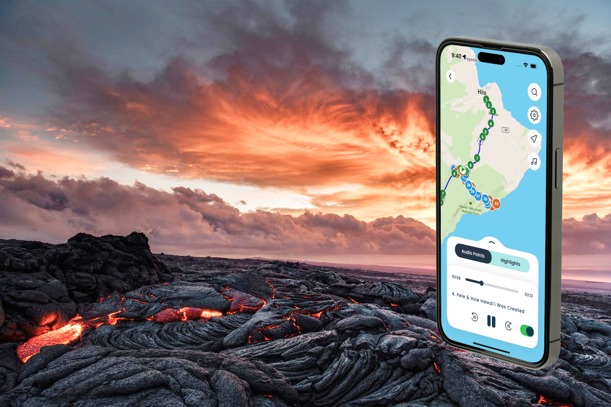
Drive it yourself with Shaka Guide
GPS-triggered audio narration for the Hilo-to-Volcanoes coast. Stories, directions, and local context kick in at each stop — no tour bus schedule, no guide to keep up with. Works offline once downloaded.
Park Entrance Fee: $30 per vehicle (7-day pass). Tri-Park Annual Pass: $55. New for 2026: Non-Resident Annual Pass: $250 (effective January 1, 2026). Payment accepted by credit/debit cards only.
Park Hours: Open 24 hours daily. Kīlauea Visitor Center: 9 AM – 5 PM daily. Kahuku Unit: Thursday through Sunday, 8 AM – 4 PM.
Jaggar Museum: Permanently closed — deconstructed after the 2018 eruption caused extensive damage. The replacement is the Uēkahuna Bluff Overlook, which reopened in spring 2025 and offers panoramic views of Halemaʻumaʻu crater.
Current Trail & Road Closures (March 2026): Kīlauea Overlook and the Uēkahuna area are temporarily closed for tephra cleanup. Chain of Craters Road is closed at the Crater Rim Drive intersection near Devastation Trail (effective March 13, 2026).
Founder & certified Hawai'i travel expert with 20+ years in Hawai'i tourism, University of South Carolina climate-research training, and NOAA weather-station experience.
Affiliate Disclosure: We may earn a commission when you book or buy through links on this page. See our Ad Disclosures & Standards.
Trades are breezy right now with scattered showers on the windward side and mountains; the leeward coast stays mostly dry. Tomorrow stays breezy with the same pattern.
A tropical disturbance southeast of the islands is likely to become a tropical storm by mid-week and approach the state Thursday through Saturday. The exact track is still uncertain. If it comes closer, expect heavier rain over a longer stretch; if it stays farther out, impacts will be shorter and lighter. Winds will increase late this week, with potential gusts over 70 miles per hour on the highest summits.
Plan your leeward beach time and snorkeling for today through Tuesday. Save summit drives and offshore water sports for after Saturday, and check updates daily as this develops.
0:000:53
Voice
Read the transcript
Trade winds are pushing across Maui right now and staying breezy through tomorrow. Windward slopes and peaks will see scattered showers; the leeward side stays mostly dry. Rough seas mean a Small Craft Advisory is in effect through Tuesday evening.
A tropical disturbance southeast of the islands is likely to become a tropical storm by mid-week and approach the state Thursday through Saturday. The track remains uncertain. Late this week, winds will increase across Maui, with summit gusts potentially exceeding 70 mph on Haleakala. The Big Island—especially Hilo and Puna—faces the highest risk of heavy rain and flooding if the storm tracks close.
Leeward beaches and snorkeling work best today through Tuesday. Avoid summit hikes and offshore water sports Thursday through Saturday.
0:000:55
Voice
Read the transcript
Trades are kicking today with moderate wind and rough seas. Windward slopes will see scattered showers; the leeward side stays mostly dry. A Small Craft Advisory is in effect through Tuesday evening.
A tropical disturbance southeast of the islands is likely to become a tropical storm by mid-week and approach the state Thursday through Saturday. The track remains uncertain, but the Big Island faces the highest risk of heavy rain and flooding, especially in the Hilo and Puna areas. Summit winds could exceed 70 mph late in the week. Check forecasts daily as the situation develops.
Leeward snorkeling and beach time work well through Tuesday. Save summit drives and windward hikes for today or tomorrow, and avoid offshore water sports and high elevations Thursday through Saturday.
0:000:58
Voice
Read the transcript
Trades are steady now with scattered showers on the windward side and ridges; the leeward coast stays mostly dry. Through Tuesday it stays breezy with rough seas around Maui and the Big Island, where a Small Craft Advisory is in effect through Tuesday evening.
A tropical disturbance southeast of the islands is likely to become a tropical storm by mid-week and approach the state Thursday through Saturday. The exact track is uncertain. Winds will increase across the eastern islands late this week, with potential for summit gusts over 70 mph on Maui and the Big Island if the storm intensifies.
Get your beach and snorkel time in today and tomorrow on the leeward coast. Avoid summit hikes and offshore water sports Thursday through Saturday as conditions deteriorate. The track could shift significantly—check updates daily.
Created with AI from the official NWS forecast discussion · verify with NWS before heading out