

Oahu Beaches
Hiking on Oahu
Many ancient Hawaiians believed that this location at the north westernmost tip of Oahu served as the place where the newly departed souls would jump from this world into the spirit realm to join their ancestors. But even for those who intend to remain earthbound Kaena Point is a lovely place to visit.
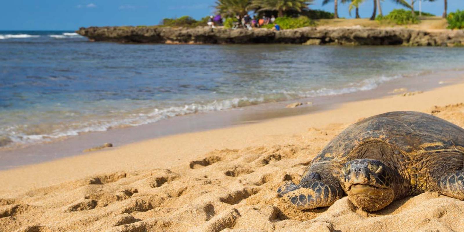
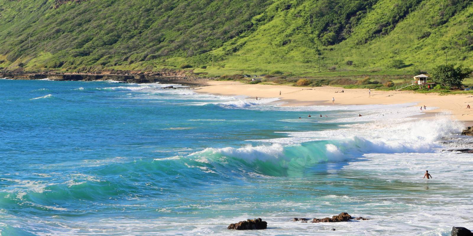
This beautiful Oahu West Coast beach offers up a beautiful vantage point of the coast, pristine sand, as well as a rocky shoreline. It's also a great place to spot albatross and other beautiful Hawaiian seabirds.
Hiking at Kaena Point
Perhaps the most popular activity here is hiking the Kaena Point Trail. Coming from the north side—also known as the Mokuleʻia side—you'll go to the end of Farrington Highway. There is parking at the trailhead. Bring water and sunscreen. Vehicle access beyond the locked gate requires a current permit; follow the current application link and decal instructions on the official Kaʻena Point park page when the gate is open.
Coming from the Leeward Coast (south) side, the trail begins past the road to Yokohama Beach and its three "dips." You'll see the trailhead at the end of the paved road and follow the dirt road for 2.5 miles. Note the beautiful Oahu shoreline on your left, while cliffs tower above you on your right.

Enjoy your day at Kaena Point State Park.
Get Your Free O'ahu Guide
Instant access — opens immediately
- Beaches, activities & top spots
- Restaurant & dining recommendations
- Maps, itineraries & insider tips
Want the full offline version? Get the Complete O'ahu Guidebook →
Hazardous conditions make any water activities extremely dangerous and are highly discouraged. There are no lifeguards on duty here.
Directions
Waianae route from Honolulu: Take the H1 Fwy. west, which turns into Farrington Hwy/Route 93. Farrington Hwy. becomes a two-lane road at its northern end and ends at Kaena Point State Park.
Via the Mokuleia route, take Interstate H2 to Kaukonahua Rd/Route 803 to Farrington Hwy/Route 930 past Waialua and head ~1 mi. past Camp Erdman. The trailhead on either side of Kaena Point begins where the paved road ends and a rough 4-wheel drive road begins.