
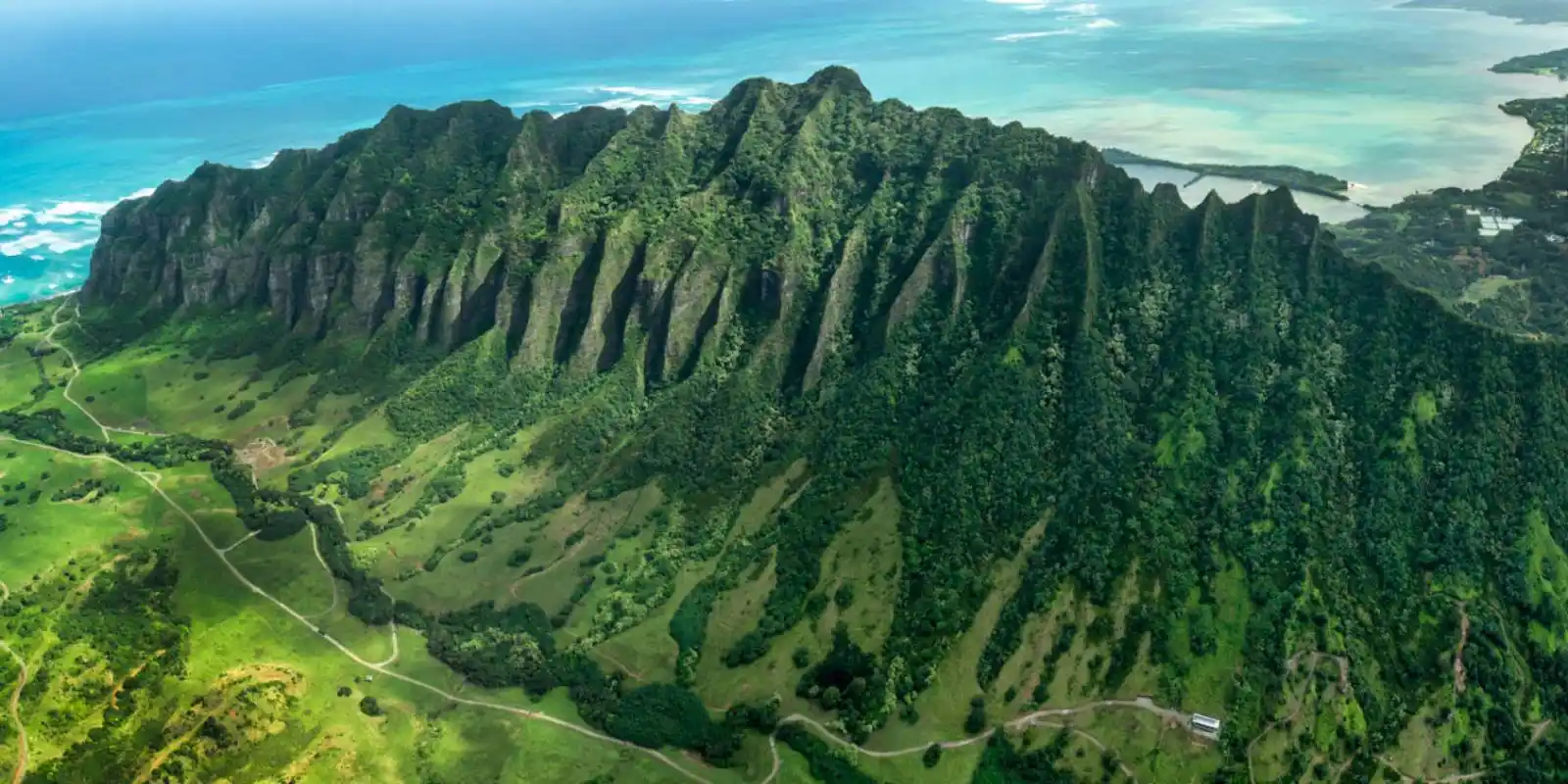

Oahu Drive Times
If you're visiting Oahu in the near future, you're probably curious to know how long it's going to take to get from one place to another. Oahu is the most populated of the Hawaiian Islands, so its roads carry real traffic — and the difference between a free-flowing drive and a rush-hour crawl can be enormous.
Below we've either chosen a beginning point (Waikiki, where most visitors stay) OR a destination (such as the North Shore or Hanauma Bay), with how long you can expect the drive to take. Please note that these estimates are for non-rush-hour traffic. Oahu's morning rush runs roughly 6:00–8:30 AM and the afternoon rush 3:00–6:30 PM — during those windows, add 30 minutes to an hour to anything that touches the H-1 freeway. We've also included basic directions.
Oahu Map Packet
Our high-resolution Oahu map includes most major attractions, all major routes, the airport, and a chart with estimated Oahu driving times.
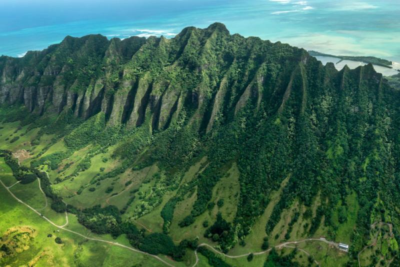
Oahu from above
Get Your Free O'ahu Guide
Instant access — opens immediately
- Beaches, activities & top spots
- Restaurant & dining recommendations
- Maps, itineraries & insider tips
Want the full offline version? Get the Complete O'ahu Guidebook →
Starting Point: Honolulu Airport (HNL)
Daniel K. Inouye International Airport (HNL) sits just west of downtown Honolulu, about 8 to 10 miles from Waikiki. Almost every visitor's first drive is the short hop into town, but rush-hour traffic on the H-1 can stretch that out, so don't be surprised if a "15-minute" airport run takes twice that on a weekday afternoon.
Destination: Waikiki
Time Estimate: Approximately 15 to 25 minutes (8–10 miles), longer in rush-hour traffic.
Directions: From HNL, follow the airport exit signs to the H-1 Freeway EAST (toward Honolulu/Waikiki). Stay on H-1 East and take exit 25A or 25B for Waikiki, then follow signs along Ala Moana Boulevard or Kalakaua Avenue to your hotel.
Destination: Ko Olina (Leeward / West Side)
Time Estimate: Approximately 30 to 40 minutes (about 20 miles) without traffic.
Directions: From HNL, take the H-1 Freeway WEST toward Waianae/Kapolei. Stay on H-1 West (it eventually becomes Farrington Highway) and take the Ko Olina exit (exit 1), then follow Aliinui Drive into the resort.
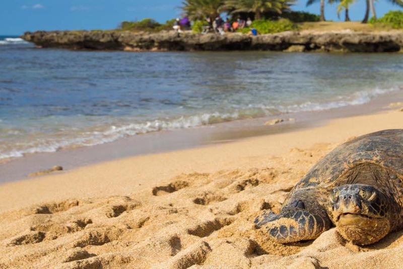
Haleiwa, North Shore
Destination: North Shore (Haleiwa)
The drive to the North Shore is one of Oahu's classic day trips — surf towns, shrimp trucks, and the legendary winter waves at Waimea Bay, Pipeline, and Sunset Beach. It's a straightforward freeway drive most of the way, but the two-lane Kamehameha Highway slows to a crawl on big-surf days and summer weekends. Get an early start.
STARTING POINT: Waikiki
Time Estimate: Approximately 45 minutes with no traffic, closer to 1 hour 10 minutes typically (about 32 miles). Allow up to 90 minutes in rush hour or on a big-surf day.
Directions: From Waikiki, take the H-1 Freeway WEST to the H-2 Freeway NORTH (toward Wahiawa/Mililani). Follow H-2 until it ends and becomes Kamehameha Highway (Highway 99, then Highway 83). Continue through Wahiawa and on toward Haleiwa. To reach Waimea Bay, Pipeline, and Sunset Beach, stay on Kamehameha Highway (Highway 83) past Haleiwa along the coast.
STARTING POINT: Honolulu Airport (HNL)
Time Estimate: Approximately 50 minutes to 1 hour 5 minutes (about 30 miles) without heavy traffic.
Directions: From HNL, take the H-1 Freeway WEST to the H-2 Freeway NORTH and follow it until it becomes Kamehameha Highway. Continue north through Wahiawa toward Haleiwa, then follow Highway 83 along the coast for the famous surf beaches.

Lanikai Beach, near Kailua
Destination: Kailua & Lanikai (Windward Side)
Just over the Koolau mountains from Honolulu sits the windward town of Kailua, home to Kailua Beach Park and its postcard neighbor, Lanikai Beach. The drive over the Pali Highway is short and scenic — you can break it up at the Nuuanu Pali Lookout, where the wind off the cliffs is legendary. Parking in Kailua and Lanikai is tight, so arrive early.
STARTING POINT: Waikiki (via Pali Highway)
Time Estimate: Approximately 30 to 35 minutes (about 14 miles).
Directions: From Waikiki, take the H-1 Freeway WEST briefly to the Pali Highway (Highway 61) NORTH. Follow the Pali Highway over the mountains (the Nuuanu Pali Lookout is a signed turnoff on the right). Continue down into Kailua, where Highway 61 becomes Kailua Road. Follow signs to Kailua Beach Park; Lanikai is just past it, around the south end of the beach.
STARTING POINT: Waikiki (via Likelike Highway)
Time Estimate: Approximately 30 to 35 minutes — comparable to the Pali.
Directions: The Likelike Highway (Highway 63) is the alternate route over the Koolau range and comes out near Kaneohe. It's a good option if the Pali Highway is closed for maintenance (which happens occasionally). From Kaneohe, follow Kamehameha Highway (Highway 83) south to Kailua Road and on into Kailua.
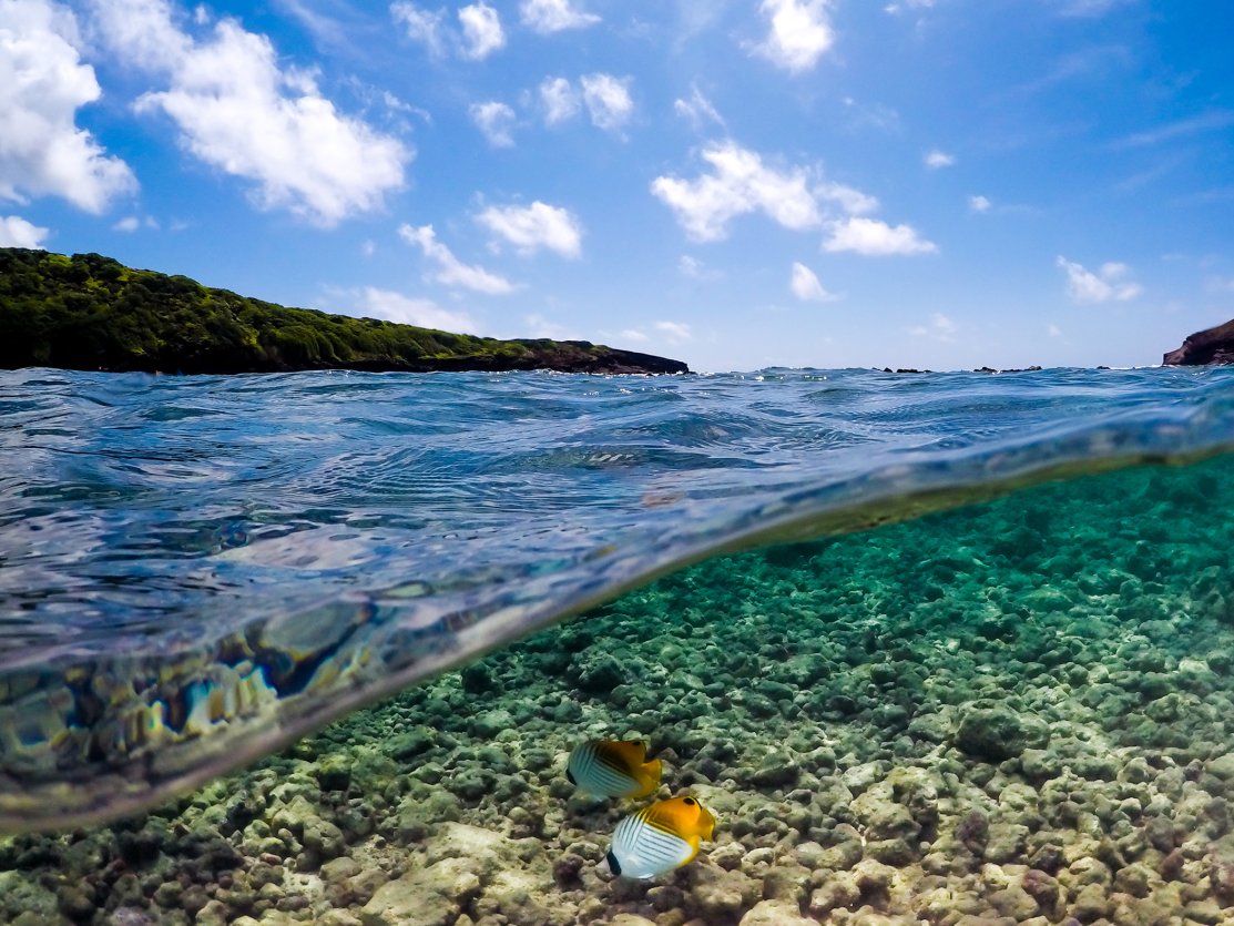
Hanauma Bay
Destination: Hanauma Bay (Southeast Shore)
Hanauma Bay is Oahu's most popular snorkeling spot, a protected marine preserve set in an old volcanic crater. The drive out along the southeast coast also passes the Halona Blowhole and Sandy Beach. Note that Hanauma Bay is closed on Mondays and Tuesdays, requires an advance reservation and entry fee, and its parking lot fills early — plan to arrive close to opening.
STARTING POINT: Waikiki
Time Estimate: Approximately 25 to 40 minutes (about 11 miles), depending on traffic.
Directions: From Waikiki, head EAST on Kalanianaole Highway (Highway 72) — the simplest way is to take Kapahulu Avenue to the H-1 East, which feeds onto Highway 72 past Hawaii Kai. Continue along the coast; Hanauma Bay's entrance and parking lot are on the right (makai/ocean side), well signed, just past Hawaii Kai.
STARTING POINT: Ko Olina (West Side)
Time Estimate: Approximately 1 hour to 1 hour 15 minutes (about 38 miles) without heavy traffic.
Directions: From Ko Olina, take the H-1 Freeway EAST all the way through Honolulu (this stretch is the most traffic-prone — avoid the morning rush). Continue past Waikiki where H-1 East connects to Kalanianaole Highway (Highway 72). Follow Highway 72 past Hawaii Kai to the Hanauma Bay entrance on the right.



