Kona Coast
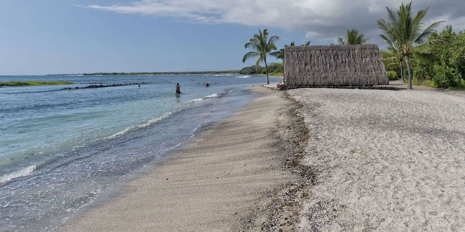
Best for condos, dining, snorkeling, manta ray tours, coffee country, and flexible west-side stays. Kona is practical for first-time rental trips because services and restaurants are close by.
Explore Kona
We may earn a commission when you book or buy through links on this page.
Big Island condos, cottages, and homes
Big Island vacation rentals are strongest when the location matches the itinerary. Kona and Kohala work best for beach-and-condo trips, Hilo and Hamakua fit waterfall days, Volcano is ideal for Hawaii Volcanoes National Park, and Waimea can help repeat visitors split the distance between coasts.
Vacation rental average daily rate (ADR) and occupancy from Hawaii DBEDT / HTA lodging data for July 2026.
The Big Island rewards planning around driving distance. A lower nightly rate can quickly lose value if it adds long cross-island drives every day.
Best for condos, dining, snorkeling, manta ray tours, coffee country, and flexible west-side stays. Kona is practical for first-time rental trips because services and restaurants are close by.
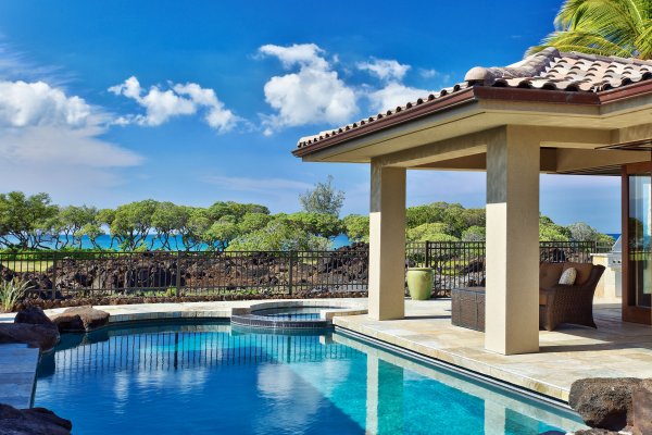
Explore KonaBest for polished resort condos, golf, sunny weather, beach access, and families who want resort amenities with a kitchen and more living space.
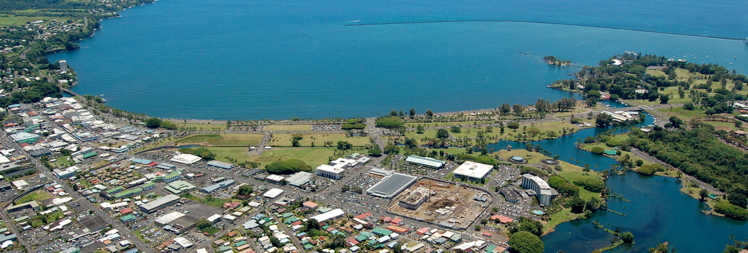
Explore KohalaBest for waterfall days, gardens, lush scenery, lower-key stays, and a possible second base. Expect more rain and fewer resort-style amenities than the west side.
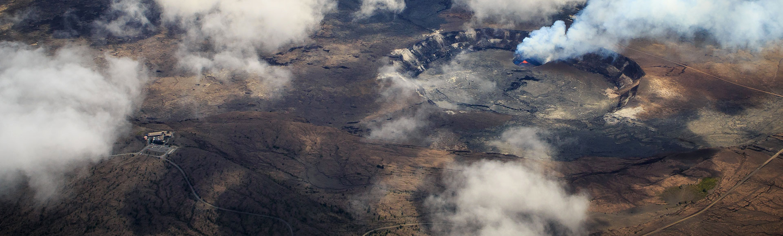
Explore HiloBest for Hawaii Volcanoes National Park, cool nights, rainforest cottages, and slower park exploration after dark. Volcano works especially well as a one- or two-night split stay.
Explore VolcanoWaikoloa Vacation Rental Management offers condo rentals in the Waikoloa Beach Resort area, a strong fit for travelers who want resort conveniences with kitchen, laundry, and extra space.
View Waikoloa RentalsUse the embedded search below and filter by property type, area, rating, or search term. Big Island is already selected for you.
Vacation rentals can be excellent on the Big Island, but the island's size changes the math.
A west-side rental plus a night or two in Volcano or Hilo can make the trip much easier if waterfalls, lava landscapes, or the Hamakua Coast are priorities.
Kohala to Volcano, Kona to Hilo, and Hilo to beaches are real drives. Compare rental savings against the time and fuel needed for the itinerary.
Confirm beach access, lava-zone context, road quality, parking, taxes, cleaning fees, and cancellation terms before booking a remote cottage or house.
Filter Big Island properties by area, property type, guest rating, or search term. Use the property-type filters to narrow toward rentals, condos, and condo hotels.
Use these next if you are still deciding whether a rental, hotel, resort, inn, or split stay is the best fit.

Need help planning?
Search & Planning Chat →

Trades are breezy right now with scattered showers on the windward side and mountains; the leeward coast stays mostly dry. Tomorrow stays breezy with the same pattern.
A tropical disturbance southeast of the islands is likely to become a tropical storm by mid-week and approach the state Thursday through Saturday. The exact track is still uncertain. If it comes closer, expect heavier rain over a longer stretch; if it stays farther out, impacts will be shorter and lighter. Winds will increase late this week, with potential gusts over 70 miles per hour on the highest summits.
Plan your leeward beach time and snorkeling for today through Tuesday. Save summit drives and offshore water sports for after Saturday, and check updates daily as this develops.
Created with AI from the official NWS forecast discussion · verify with NWS before heading out
Current Time in Hawaiʻi
Hawaiʻi Standard Time · UTC−10 · No Daylight Saving
You’re on Hawaiʻi timeMainland US
International
Aloha Today daily podcast →
Full HST breakdown, FAQ & DST schedule →
Enter your email and we'll send you instant access to our free 2026 Hawaii Starter Guide + Summary Guidesheets.