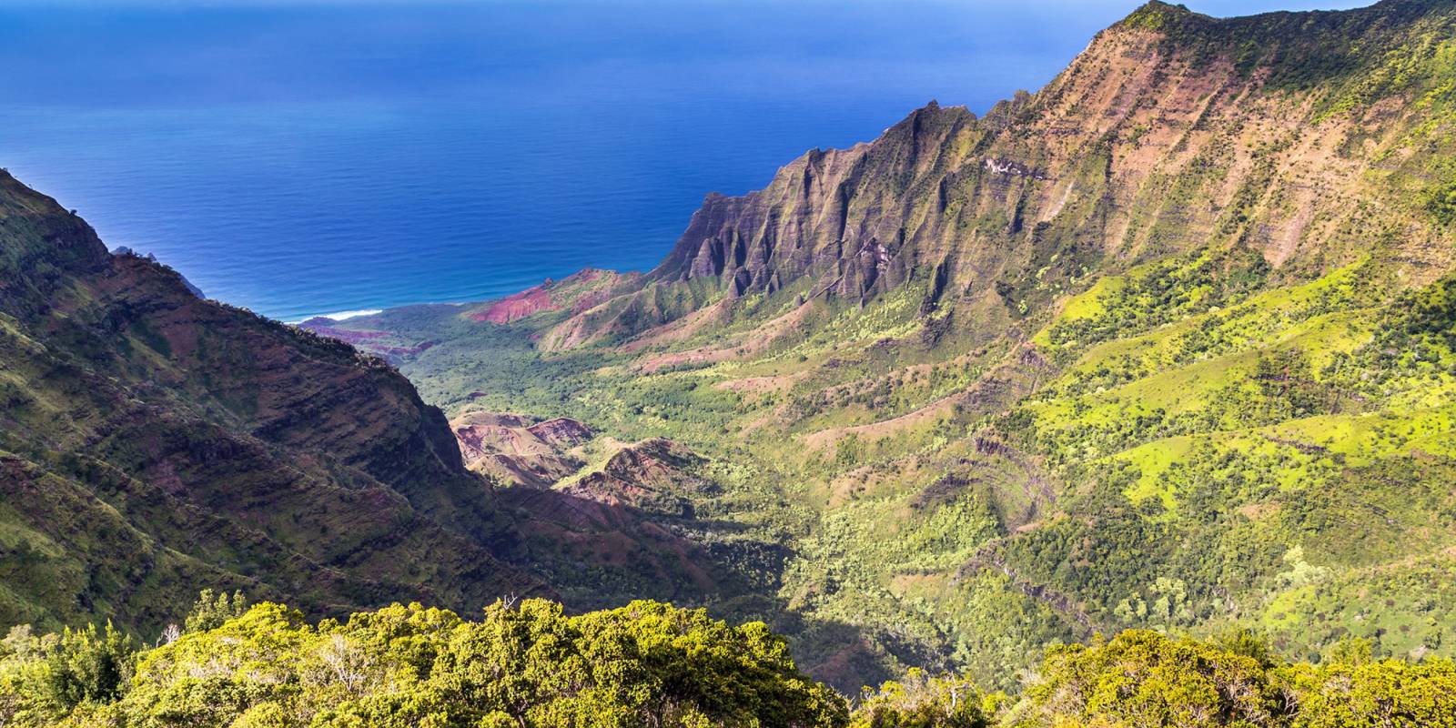

A drone can be the sharpest tool in a Hawaii visitor’s bag. It can also be the fastest way to buy a citation. Hawaii drone rules are a layer cake: FAA airspace, federal parks, state land, and county beaches. The scenery practically begs for a small aircraft with a camera, from sea cliffs that drop straight into the Pacific to lava fields that look like another planet. The legal layer over those scenes is dense, and the answers change often enough that visitors should verify with each jurisdiction before launching rather than trust a hotel concierge or rental-counter summary.
The rules sit in four overlapping jurisdictions. The Federal Aviation Administration regulates the airspace. The National Park Service runs the seven publicly accessible federal park units in Hawaiʻi, and every one is off-limits to drones. The Hawaiʻi Department of Land and Natural Resources manages state parks and forest reserves; the State Parks Division requires a permit for drone use inside park boundaries. The four county governments — Honolulu, Maui, Hawaiʻi, and Kauaʻi — write their own park-by-park rules on top of all of that.
The map this produces is one where the dramatic spots a visitor most wants to fly are usually the spots where flying is most restricted. The penalties are real. Careful pilots can avoid most problems by checking each jurisdiction before launch, and plenty of legal sky remains in Hawaiʻi if you know where to look.