

Most weather complaints we hear from first-time visitors share a single shape: it rained on us all morning at the hotel, so we stayed in. The visitor checked the statewide Hawaii forecast, saw “scattered showers, partly cloudy, mid-70s to low-80s” and assumed that meant the whole island. It almost never does. Hawaii microclimates are why. The mountains are tall. The trade winds are constant. The ocean is everywhere. Together those produce some of the most dramatic rainfall variation in the country. The Rainfall Atlas of Hawaiʻi, maintained by the University of Hawaiʻi at Mānoa, documents annual rainfall ranging from under 10 inches a year on some leeward coasts to over 400 inches a year on a few peaks. That is a 40x spread inside one state. On Kauaʻi, the drive between a leeward coastal town like Waimea and the road network closest to the wettest interior takes well under an hour. Once you understand what is actually happening, you stop being mad at the rain. You drive out from under it.
The Three-Word Mental Model: Windward, Leeward, Elevation
Hawaii’s weather is governed by trade winds blowing from the northeast across the open Pacific. NOAA’s Honolulu Weather Forecast Office reports that trades blow most of the year and dominate even more strongly in summer, when they run 80 to 95 percent of the time. Those winds carry moisture-loaded air across the islands until they hit a mountain. Then physics takes over. Air is forced up the mountain, cools as it rises, and dumps its moisture as rain on the windward (northeast-facing) side. By the time the air crests the ridge and slides down the other side, it has shed most of its water — so the leeward (southwest-facing) side stays dry. That is why every Hawaiian island has a wet side and a dry side, and the boundary between them is sometimes a single ridge less than five miles wide. Elevation is the third dial. The same air that is rolling sun-warmed and dry across Lahaina is cool and damp at 7,000 feet up Haleakalā. As a rule of thumb, expect the temperature to drop roughly three to four degrees for every 1,000 feet you climb, in line with standard atmospheric lapse rates published by NWS. A morning at sea level in the 80s becomes a sweater-and-fleece morning at the summit. The Kīlauea summit area of Hawaiʻi Volcanoes National Park sits at about 4,000 feet and runs noticeably cooler than the Kona coast roughly 90 minutes downhill. Windward. Leeward. Elevation. That is the whole framework.
How Dramatic This Actually Gets
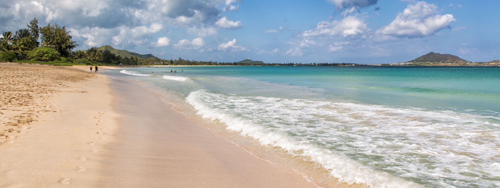
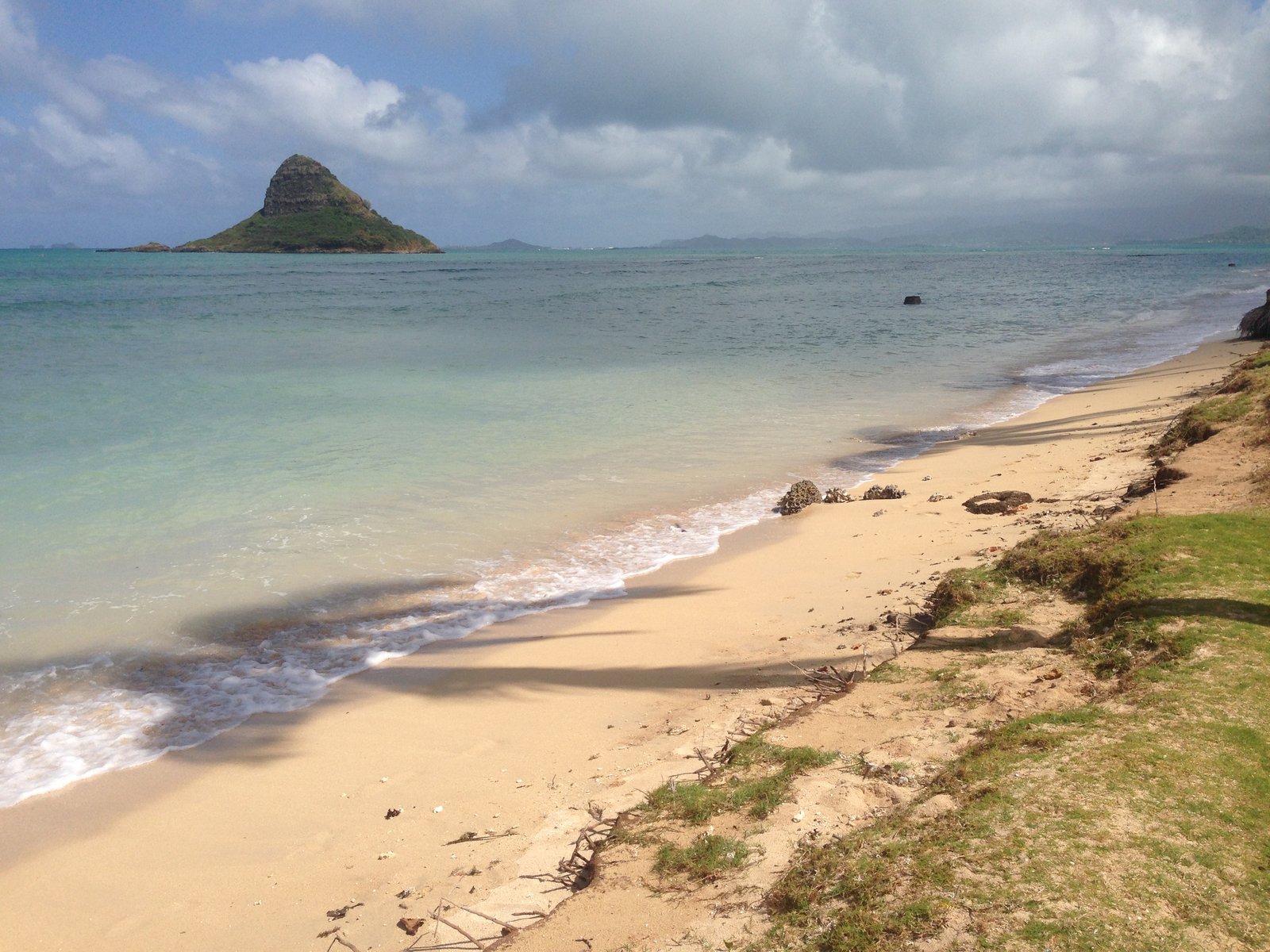
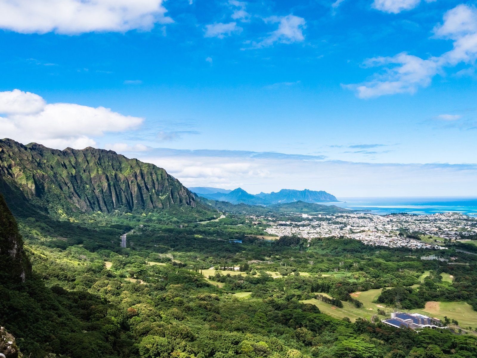
Kailua sits on Oahu's windward side, under the Koʻolau range. Mornings here are often partly cloudy with a passing shower; the leeward side of the same island can be cloudless at the same hour.
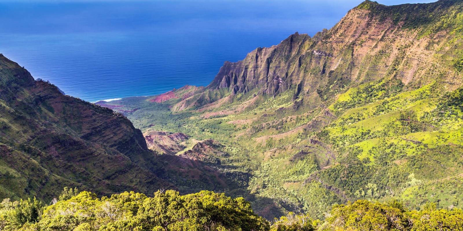
The numbers from the Rainfall Atlas tell the story better than adjectives. Mt. Waiʻaleʻale, the high peak at the center of Kauaʻi, averages over 400 inches of rain a year — among the wettest places on Earth. About 15 miles to the southwest, the leeward town of Waimea on Kauaʻi’s dry side averages around 20 inches a year. Same island. Different annual rainfall regimes by an order of magnitude. The Big Island has even more spread because it is larger and has two mountains in the 13,000-foot range. NWS climate normals show Hilo, on the windward east side, averaging about 127 inches of rain a year, which makes it one of the wettest cities in the United States. Kailua-Kona, on the leeward west side, averages about 18 inches. The drive between them is roughly 70 miles. On Oahu, the contrast is more compact but just as real. Mānoa Valley, tucked into the foothills behind Honolulu, often sees showers in winter while Waikiki, a few miles makai, stays sunny. The NWS Area Forecast Discussion for Oahu often calls for “showers favoring windward and mauka areas” — that is the forecaster’s way of saying it is about to rain on the green side, not the beach side.
Per-Island Cheat Sheet: The Four Main Visitor Islands
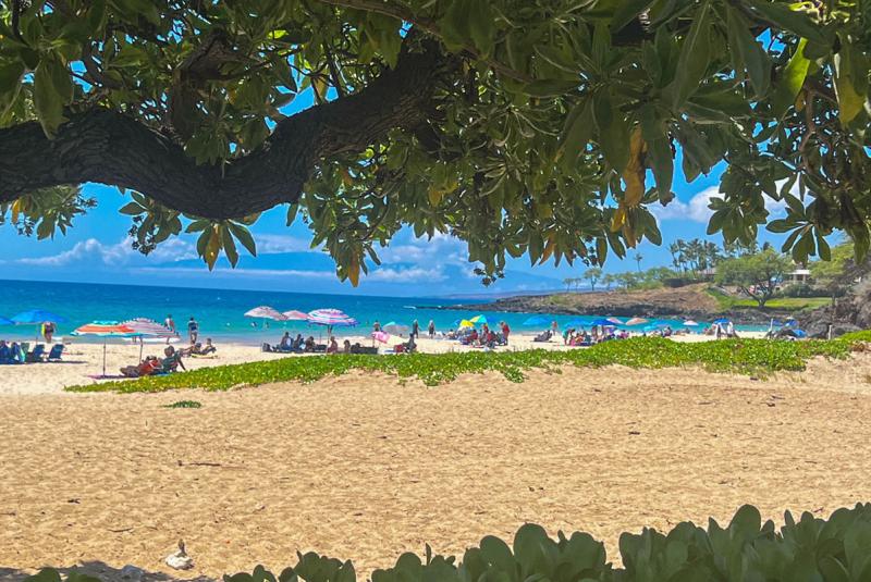
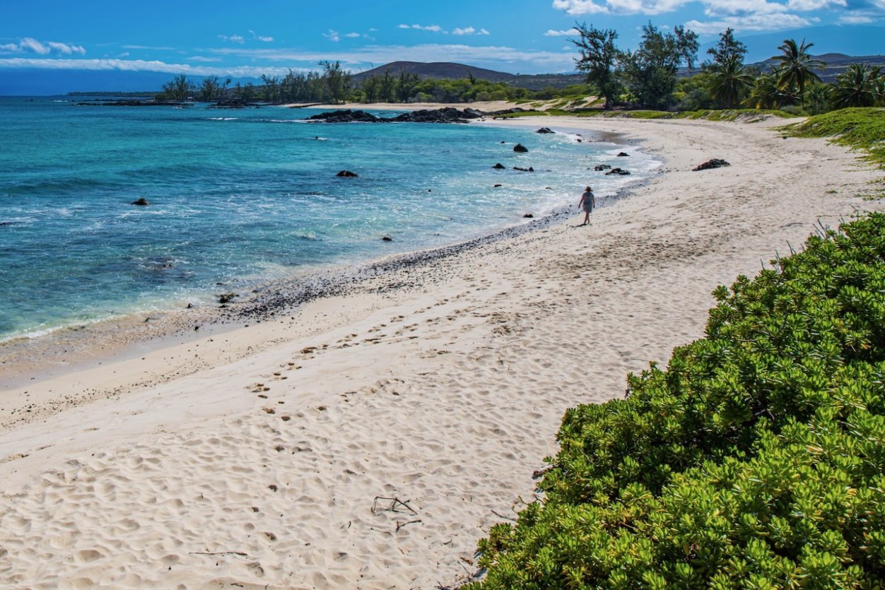
Hapuna Beach on the Big Island's leeward Kohala Coast averages roughly 10 to 15 inches of rain a year, per the Rainfall Atlas of Hawaiʻi. Hilo, on the windward side of the same island, averages about 127.
A pocket guide to which side of each main visitor island stays dry, which side stays wet, and what that means if your weather is doing something you did not expect. (Lānaʻi and Molokaʻi follow the same windward-wet, leeward-dry pattern at smaller scale.) Oahu. Wet side: East and Windward Oahu — Kailua, Kāneʻohe, Waimānalo, the lush valleys beneath the Koʻolau Range. Dry side: Leeward Oahu (Waiʻanae and Koʻolina), plus the south shore from Waikiki through Hawaiʻi Kai. The North Shore (Haleʻiwa, Sunset, Pipeline) sits in between and gets mixed weather, but skews wetter in winter when north swells and frontal systems roll through. Maui. Wet side: the road to Hāna and East Maui generally. The Rainfall Atlas shows upper-elevation rainforest there receiving over 300 inches a year. Dry side: Kihei and Wailea on the south shore, and the West Maui resort strip from Kāʻanapali through Kapalua. The boundary is dramatic. Drive 30 minutes from Kahului toward Hāna and the landscape shifts from dry plains to dripping jungle. Big Island. Wet side: the entire eastern (Hilo and Hāmākua) and southeastern (Volcano, Puna) sides. Dry side: the leeward Kohala and Kona coasts on the west — that is where the resort-row beaches are (Hapuna, Mauna Kea, Mauna Lani, Waikoloa) and why those beaches look the way they do. The contrast is especially strong here because the volcanoes are tall enough to wring almost everything out of the air. Kauaʻi. Wet side: the entire north shore (Hanalei, Princeville, Hāʻena) and the high interior anchored by Mt. Waiʻaleʻale. Dry side: Poʻipū and the south shore, plus the leeward west side from Waimea to Polihale. Kauaʻi is one of the smaller main visitor islands, which means the climate flip happens fast. A rainy morning in Hanalei can be a sunny lunch in Poʻipū with one tank of gas to spare.
The Practical Move: Don't Sit Under the Cloud
The single most useful habit for visitors is checking the actual forecast on the actual side of the island they are on, not the statewide blob. The NWS Honolulu forecast page splits each island into windward and leeward zones for exactly this reason. Our Hawaii weather forecast page pulls those same zones in plain English, and the per-island weather pages (Oahu, Maui, Big Island, Kauaʻi) break out wet and dry sides side by side. Trade-wind weather is the more common pattern, especially May through October. Under trades, the rule “windward gets the rain, leeward stays dry” is almost mechanical. If your hotel is in Waikiki or Kāʻanapali or Poʻipū or the Kohala Coast and the morning forecast looks soggy, the soggy is probably happening on the other side of the mountain. Look outside before you cancel anything. Kona-wind weather is the exception. NWS Honolulu describes “Kona” storms as cyclones that pass north of the islands with strong southerly or southwesterly winds, most common from October to April. That flips the whole pattern: leeward areas get the rain, windward areas dry out, and the resort coasts that are normally dry can have a genuinely wet day. The NWS calls these out clearly in the daily discussion, but a quick visual cue is haze and unusual humidity at the resort beaches. Under those conditions, the move is to drive to the windward side, which is now the dry side, instead of waiting it out. Vog (volcanic smog from Kīlauea’s vents) follows the same wind logic. Trades push vog southwest from the volcano, which means South Kona and Kaʻū catch the worst of it on a tradewind day. Kona-wind days push vog northeast and can drop the air quality on Hilo’s side. The UH Vog Measurement and Prediction Project tracks plume direction and forecasts. Our Big Island pages show a vog AQI badge when one of those events is in progress.
Elevation: The Sleeper Variable
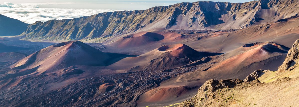
Kalahaku Overlook on Haleakalā shows the elevation effect at work: clouds pile up against the rim while the dry crater floor sits clear below. Per NPS, summit temperatures commonly range between 32°F and 65°F year-round, well below typical beach conditions.
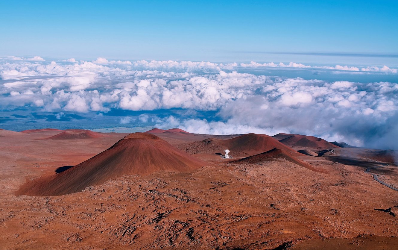
The mountain does not just steer the weather. It makes its own. Haleakalā summit at 10,023 feet sees pre-dawn temperatures that often drop near or below freezing in winter, and the National Park Service notes that winter storms can bring snow. Mauna Kea on the Big Island is taller (13,803 feet, per USGS), and the UH Institute for Astronomy reports that snow and ice are common at the summit in winter. Visitors who drove up in shorts have learned this the hard way. The practical rule is to dress for two climates anytime your day involves elevation. A 78-degree morning in Kahului becomes a near-freezing morning at the Haleakalā summit, and a fleece is the difference between a great sunrise and a miserable one. The packing quiz on this site bakes this in — anyone heading for sunrise summit duty gets a layer recommendation, not just sunscreen. Inversion layers are the other elevation quirk worth knowing. On many trade-wind days, a stable trade-wind inversion sits at roughly 6,000 to 7,000 feet, trapping clouds below it (per UH SOEST meteorology research). That is why Mauna Kea’s summit at 13,803 feet often punches above the clouds into clear sky while Hilo at sea level sits under solid overcast. Mauna Kea Observatories exists for exactly that reason. For visitors, it means a cloudy morning at sea level does not preclude a clear afternoon at altitude — and vice versa.
Where to Stay vs. Where to Go: Don't Conflate Them
A frequent visitor mistake is choosing where to stay based on a desire to “see the lush side.” Those visitors book a hotel in Hilo or Hāna or on Kauaʻi’s North Shore expecting the rainforest experience, and then spend their week wishing the sun would come out for their beach day. The smarter move for most first-timers is to stay on the dry side of the island, where the resort beaches and most of the visitor infrastructure already are, and day-trip to the wet side. The lush side is worth the trip — Hilo’s farmers’ market, the road to Hāna, Hanalei Bay, the rainforest sections of Hawaiʻi Volcanoes National Park — but you do not need to wake up there to experience it. You need to drive there with a picnic and a rain jacket. The exception is travelers who specifically want a quiet, slow, rainforest-flavored trip and are not centered on beach time. Hāna, Volcano Village, and Kauaʻi’s North Shore reward visitors who plan around the weather rather than against it. That is a deliberate choice, not a default. The “Which Hawaii Island” quiz nudges first-timers toward this distinction. So does the best time to visit page, which breaks each island’s seasonal patterns out by zone.
Quick Tips: Reading Hawaiian Weather Like a Local
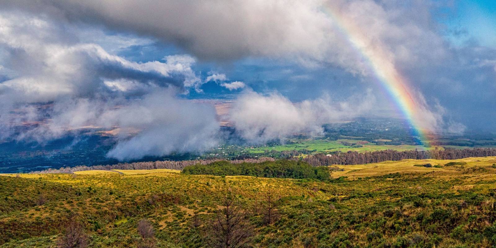
A short list of things that took us a while to internalize and that a first-time visitor can pick up on day one. Morning showers are usually brief. Most windward-side rain on a trade-wind day passes quickly. If you can wait it out with a coffee, you often do not need to abandon your plan. Rainbows mean you are in the right place. Hawaii’s rainbow reputation is earned. The combination of frequent passing showers and ever-present sunshine makes them genuinely common, especially on windward sides in the morning and afternoon. “Mauka” and “makai” are useful directions. Mauka means toward the mountains; makai means toward the ocean. When the forecast says “showers favoring mauka areas,” that means the wet stuff is happening uphill from the beach, and the beach is fine. Our short primer on Hawaiian directions covers this in more depth. Sun protection matters even on cloudy days. Hawaii sits at roughly 20°N latitude, so UV is high year-round and punches through thin trade-wind clouds. Hawaiʻi has banned the sale of sunscreens containing oxybenzone and octinoxate (see our reef-safe sunscreen guide for what the rules actually require). If your forecast looks bad, drive 20 miles before you give up. That is the whole point. Cloud sitting on Lihuʻe? Drive to Poʻipū. Pouring in Kāʻanapali? Try Wailea. Soaked in Hilo? Cross to Kona for the afternoon. The microclimate is the visitor’s friend once you stop fighting it.