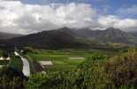
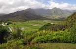
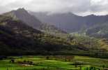
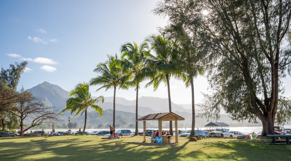
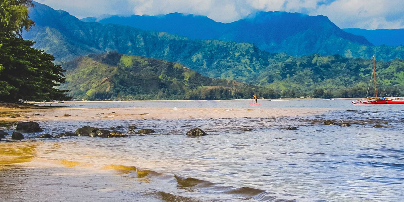
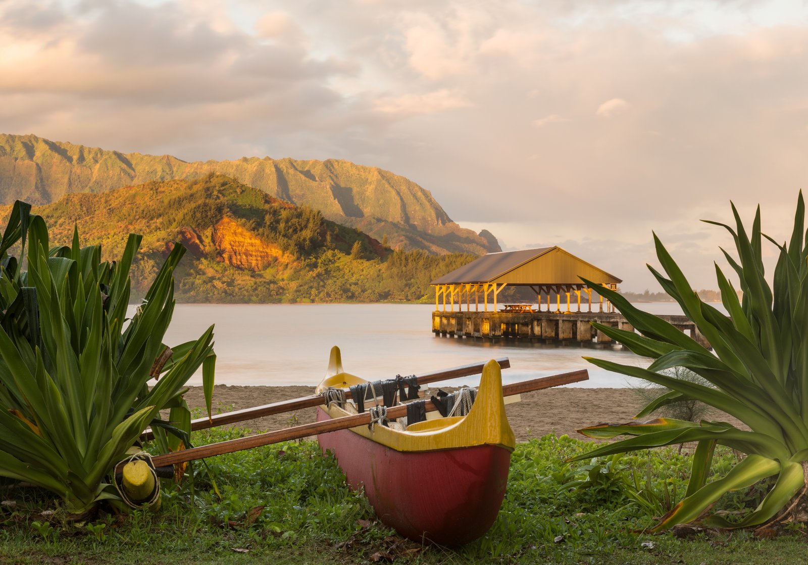
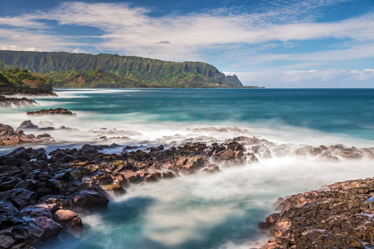
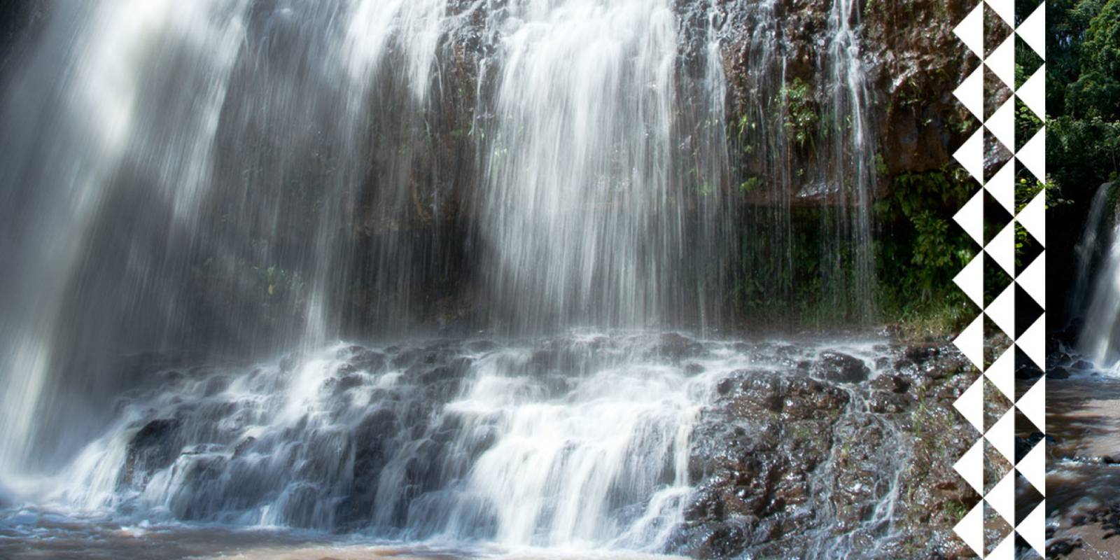
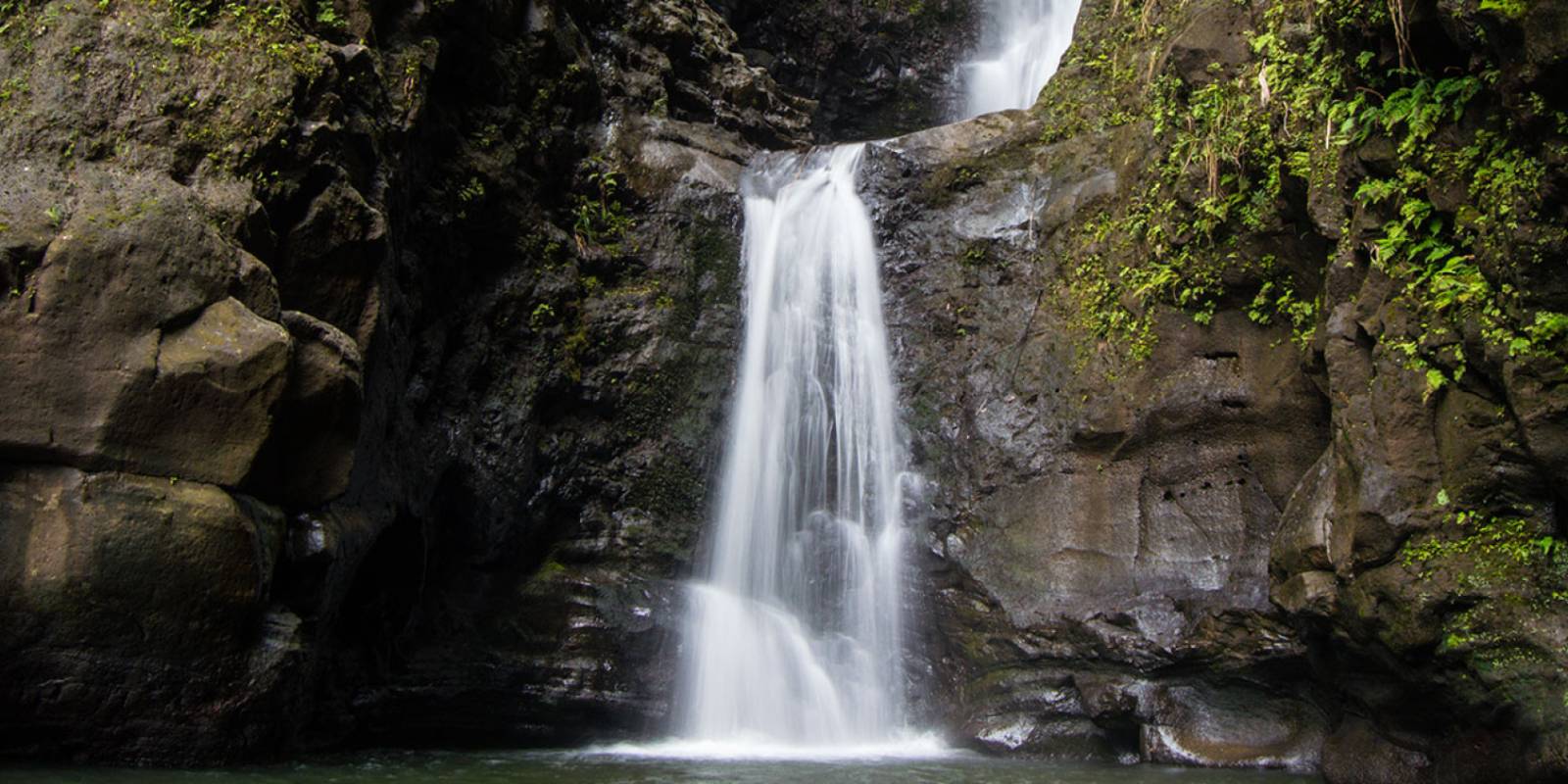
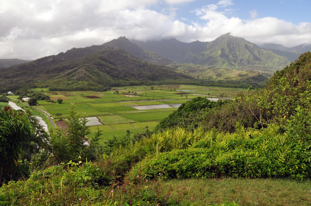
Hanalei Valley on the north shore of Kauai is one of the most attractive places on the entire island. The backdrop of beautiful mountains with waterfalls tumbling down the walls is a beautiful stage for the sleepy town of Hanalei. The most scenic view is here at Hanalei Valley Overlook, which peers over the taro fields of Hanalei Valley below. The valley is a designated Wildlife Sanctuary rich in native water birds including the Hawaiian coot, duck and stilt. The dramatic patchwork of neat taro farms bisected by the wide Hanalei River make this one of Hawaii's loveliest sights. The fertile soils of Hanalei Valley have been planted with taro since perhaps as far back as AD 700.
Visiting Hanalei Valley Overlook
Hanalei Valley Overlook is the single best roadside view on Kauai. Pull off Kuhio Highway (Hwy 56) heading north, just before the road drops down into Hanalei, and you're looking at a wide panorama of taro fields, the Hanalei River winding through the valley floor, and jagged green mountains rising behind it all. No hiking required. No entrance fee. Five to ten minutes is all you need.
The pull-off parking area sits on the right side of the highway. It's a designated state scenic viewpoint with a low stone wall and interpretive signs. Space for maybe a dozen cars. If it's full, circle back. This stop is too good to skip on your way to Hanalei.
The Taro Fields
Hanalei Valley is one of the largest taro-growing regions in Hawaii. Taro (kalo in Hawaiian) has been cultivated here for centuries, possibly as far back as AD 700. The green patchwork of flooded fields spread across the valley floor looks like something out of Southeast Asia, not the Pacific.
After a good rain, the view transforms. Waterfalls streak down the mountain walls behind the valley. The taro fields turn an even deeper green. Rain on the North Shore is not a reason to skip this stop. It's a reason to make sure you don't.
Hanalei National Wildlife Refuge
The valley floor below the overlook is the Hanalei National Wildlife Refuge, managed by the U.S. Fish and Wildlife Service. It's protected habitat for endangered Hawaiian waterbirds, including the Hawaiian coot (ʻalae keʻokeʻo), Hawaiian duck (koloa maoli), Hawaiian stilt (aeʻo), and Hawaiian moorhen (ʻalae ʻula).
You can't walk down into the refuge. It's closed to public access. But from the overlook, you can see the entire wetland system spread out below you. Binoculars help if you want to spot the birds.
Photography Tips
Morning light hits the valley best. The sun rises behind you (to the east) and illuminates the mountains and taro fields directly. Late afternoon works too, but shadows fill the valley earlier than you'd expect because of the steep mountain walls.
After rain is prime time. Those waterfalls on the mountain backdrop only appear when it's been raining, and they can be dramatic. Bring a telephoto lens (200mm or longer) if you want to isolate individual taro fields or capture waterfall detail on the cliffs. A wide-angle lens captures the full panorama, but the telephoto shots are the ones you'll frame.
Overcast skies actually help here. The valley's greens photograph richer without harsh midday sun blowing out the highlights.
Explore smarter
Turn this stop into a better day plan.
Use maps, timing, access checks, and current conditions before adding another stop to the route.
Founder & certified Hawai'i travel expert with 20+ years in Hawai'i tourism, University of South Carolina climate-research training, and NOAA weather-station experience.
Trades are breezy right now with scattered showers on the windward side and mountains; the leeward coast stays mostly dry. Tomorrow stays breezy with the same pattern.
A tropical disturbance southeast of the islands is likely to become a tropical storm by mid-week and approach the state Thursday through Saturday. The exact track is still uncertain. If it comes closer, expect heavier rain over a longer stretch; if it stays farther out, impacts will be shorter and lighter. Winds will increase late this week, with potential gusts over 70 miles per hour on the highest summits.
Plan your leeward beach time and snorkeling for today through Tuesday. Save summit drives and offshore water sports for after Saturday, and check updates daily as this develops.
0:000:53
Voice
Read the transcript
Trade winds are pushing across Maui right now and staying breezy through tomorrow. Windward slopes and peaks will see scattered showers; the leeward side stays mostly dry. Rough seas mean a Small Craft Advisory is in effect through Tuesday evening.
A tropical disturbance southeast of the islands is likely to become a tropical storm by mid-week and approach the state Thursday through Saturday. The track remains uncertain. Late this week, winds will increase across Maui, with summit gusts potentially exceeding 70 mph on Haleakala. The Big Island—especially Hilo and Puna—faces the highest risk of heavy rain and flooding if the storm tracks close.
Leeward beaches and snorkeling work best today through Tuesday. Avoid summit hikes and offshore water sports Thursday through Saturday.
0:000:55
Voice
Read the transcript
Trades are kicking today with moderate wind and rough seas. Windward slopes will see scattered showers; the leeward side stays mostly dry. A Small Craft Advisory is in effect through Tuesday evening.
A tropical disturbance southeast of the islands is likely to become a tropical storm by mid-week and approach the state Thursday through Saturday. The track remains uncertain, but the Big Island faces the highest risk of heavy rain and flooding, especially in the Hilo and Puna areas. Summit winds could exceed 70 mph late in the week. Check forecasts daily as the situation develops.
Leeward snorkeling and beach time work well through Tuesday. Save summit drives and windward hikes for today or tomorrow, and avoid offshore water sports and high elevations Thursday through Saturday.
0:000:58
Voice
Read the transcript
Trades are steady now with scattered showers on the windward side and ridges; the leeward coast stays mostly dry. Through Tuesday it stays breezy with rough seas around Maui and the Big Island, where a Small Craft Advisory is in effect through Tuesday evening.
A tropical disturbance southeast of the islands is likely to become a tropical storm by mid-week and approach the state Thursday through Saturday. The exact track is uncertain. Winds will increase across the eastern islands late this week, with potential for summit gusts over 70 mph on Maui and the Big Island if the storm intensifies.
Get your beach and snorkel time in today and tomorrow on the leeward coast. Avoid summit hikes and offshore water sports Thursday through Saturday as conditions deteriorate. The track could shift significantly—check updates daily.
Created with AI from the official NWS forecast discussion · verify with NWS before heading out


 Been here? Tap to stamp