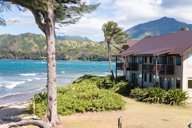
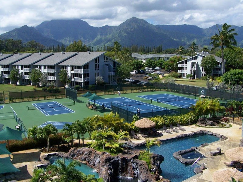
If you're exploring North Kauai, plan a short and worthwhile stop to explore the Manini-holo (Maniniholo) dry cave.
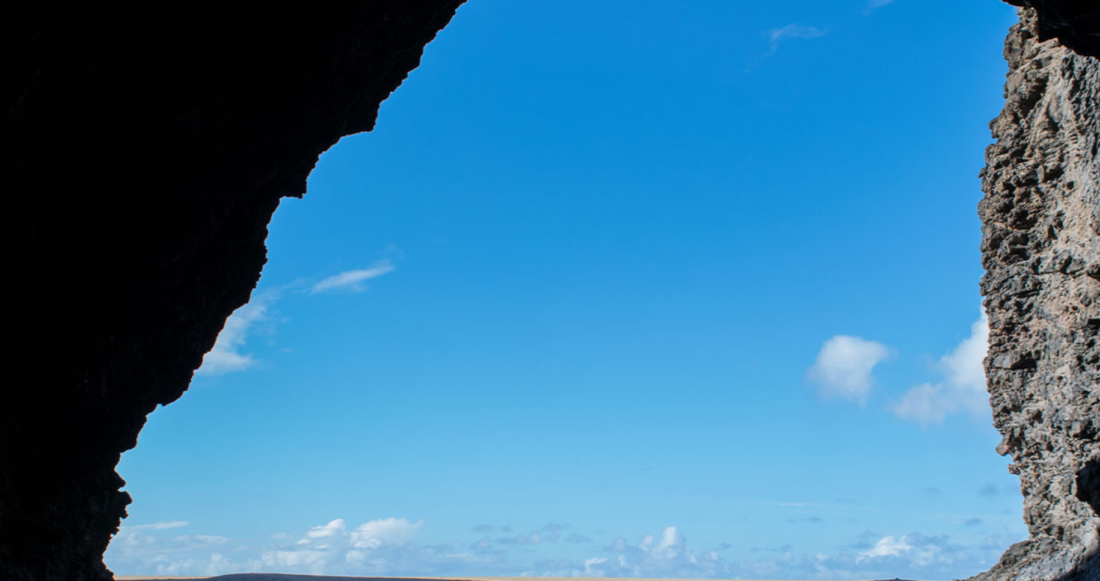
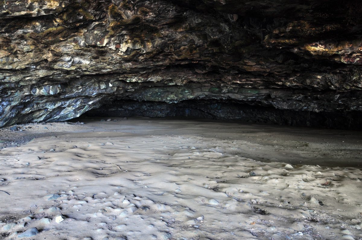
Right after mile marker 9, you will notice a large dry cave (Manini-holo) on the left side of the road. You can park on the side of the road or in the parking area at Haena Beach Park across the street. The cave goes back about 100-150 feet with plenty of standing room.
Legend has it that this cave used to be a tunnel to Waimea Canyon and that during a conflict between the Menehune and the Polynesian settlers, the Menehune were on the run from Waimea Canyon, being pursued by the Polynesians and used this secret tunnel to escape to the North Shore. After they were all through the tunnel, they created a collapse at the tunnel ceiling, trapping the Polynesians inside and leading to the formation of the dry cave.
Explore smarter
Turn this stop into a better day plan.
Use maps, timing, access checks, and current conditions before adding another stop to the route.
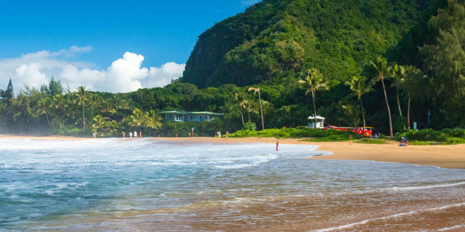
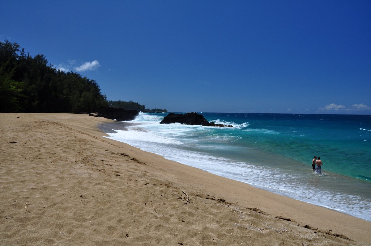
After exploring the cave, you should cross the street and walk along Haena Beach. Take Highway 560 west from Ha'ena. The Dry Cave is located on the left side of the road, just before Mile Marker #9, across the street from the Haena Beach Park.
Founder & certified Hawai'i travel expert with 20+ years in Hawai'i tourism, University of South Carolina climate-research training, and NOAA weather-station experience.
Trades are breezy right now with scattered showers on the windward side and mountains; the leeward coast stays mostly dry. Tomorrow stays breezy with the same pattern.
A tropical disturbance southeast of the islands is likely to become a tropical storm by mid-week and approach the state Thursday through Saturday. The exact track is still uncertain. If it comes closer, expect heavier rain over a longer stretch; if it stays farther out, impacts will be shorter and lighter. Winds will increase late this week, with potential gusts over 70 miles per hour on the highest summits.
Plan your leeward beach time and snorkeling for today through Tuesday. Save summit drives and offshore water sports for after Saturday, and check updates daily as this develops.
0:000:53
Voice
Read the transcript
Trade winds are pushing across Maui right now and staying breezy through tomorrow. Windward slopes and peaks will see scattered showers; the leeward side stays mostly dry. Rough seas mean a Small Craft Advisory is in effect through Tuesday evening.
A tropical disturbance southeast of the islands is likely to become a tropical storm by mid-week and approach the state Thursday through Saturday. The track remains uncertain. Late this week, winds will increase across Maui, with summit gusts potentially exceeding 70 mph on Haleakala. The Big Island—especially Hilo and Puna—faces the highest risk of heavy rain and flooding if the storm tracks close.
Leeward beaches and snorkeling work best today through Tuesday. Avoid summit hikes and offshore water sports Thursday through Saturday.
0:000:55
Voice
Read the transcript
Trades are kicking today with moderate wind and rough seas. Windward slopes will see scattered showers; the leeward side stays mostly dry. A Small Craft Advisory is in effect through Tuesday evening.
A tropical disturbance southeast of the islands is likely to become a tropical storm by mid-week and approach the state Thursday through Saturday. The track remains uncertain, but the Big Island faces the highest risk of heavy rain and flooding, especially in the Hilo and Puna areas. Summit winds could exceed 70 mph late in the week. Check forecasts daily as the situation develops.
Leeward snorkeling and beach time work well through Tuesday. Save summit drives and windward hikes for today or tomorrow, and avoid offshore water sports and high elevations Thursday through Saturday.
0:000:58
Voice
Read the transcript
Trades are steady now with scattered showers on the windward side and ridges; the leeward coast stays mostly dry. Through Tuesday it stays breezy with rough seas around Maui and the Big Island, where a Small Craft Advisory is in effect through Tuesday evening.
A tropical disturbance southeast of the islands is likely to become a tropical storm by mid-week and approach the state Thursday through Saturday. The exact track is uncertain. Winds will increase across the eastern islands late this week, with potential for summit gusts over 70 mph on Maui and the Big Island if the storm intensifies.
Get your beach and snorkel time in today and tomorrow on the leeward coast. Avoid summit hikes and offshore water sports Thursday through Saturday as conditions deteriorate. The track could shift significantly—check updates daily.
Created with AI from the official NWS forecast discussion · verify with NWS before heading out


 Been here? Tap to stamp