We may earn a commission when you book or buy through links on this page.
Kuliouou Ridge Trail
Located within the Waikiki & Honolulu Region on Oahu
Guide Snapshot
A quick fit check before you commit to this trail.
Difficulty
Challenging
Distance
About 4.4 miles round trip
Estimated time
3-4 hours
Elevation & terrain
Sustained ridge climb
Family fit
Experienced hikers
Highlights
Ridge · Big Views · Workout
Waikiki & Honolulu Hiking Trails
Best Hiking Trails on Oahu
Kuliouou Ridge Trail
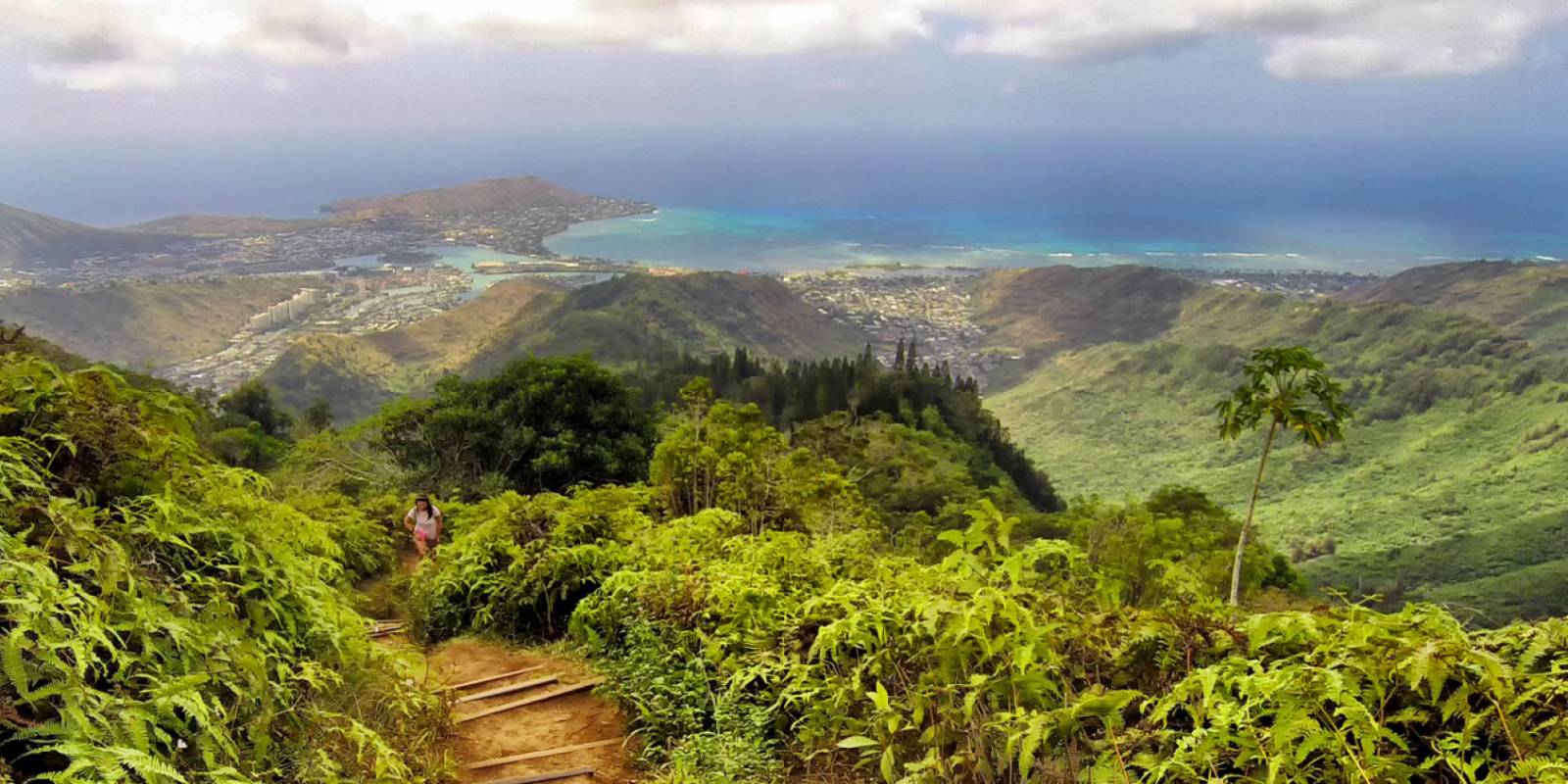
The Kuliouou Ridge Trail is about 4.4 miles round trip and takes a good three to four hours to complete. Less than half an hour from Waikiki, the trailhead is located at the end of residential Kalaau Place. It is moderate in its challenge and features some stairs that make the climb easier. It is a pretty rocky terrain on steep inclines with many local varieties of plants and trees. The trail travels through several different environments showcasing the diversity of the Oahu landscape.
Trail day tools
Before you drive to the trailhead, check the trail and weather layer.
Hawaii hikes can change quickly with closures, rain, mud, heat, and daylight.
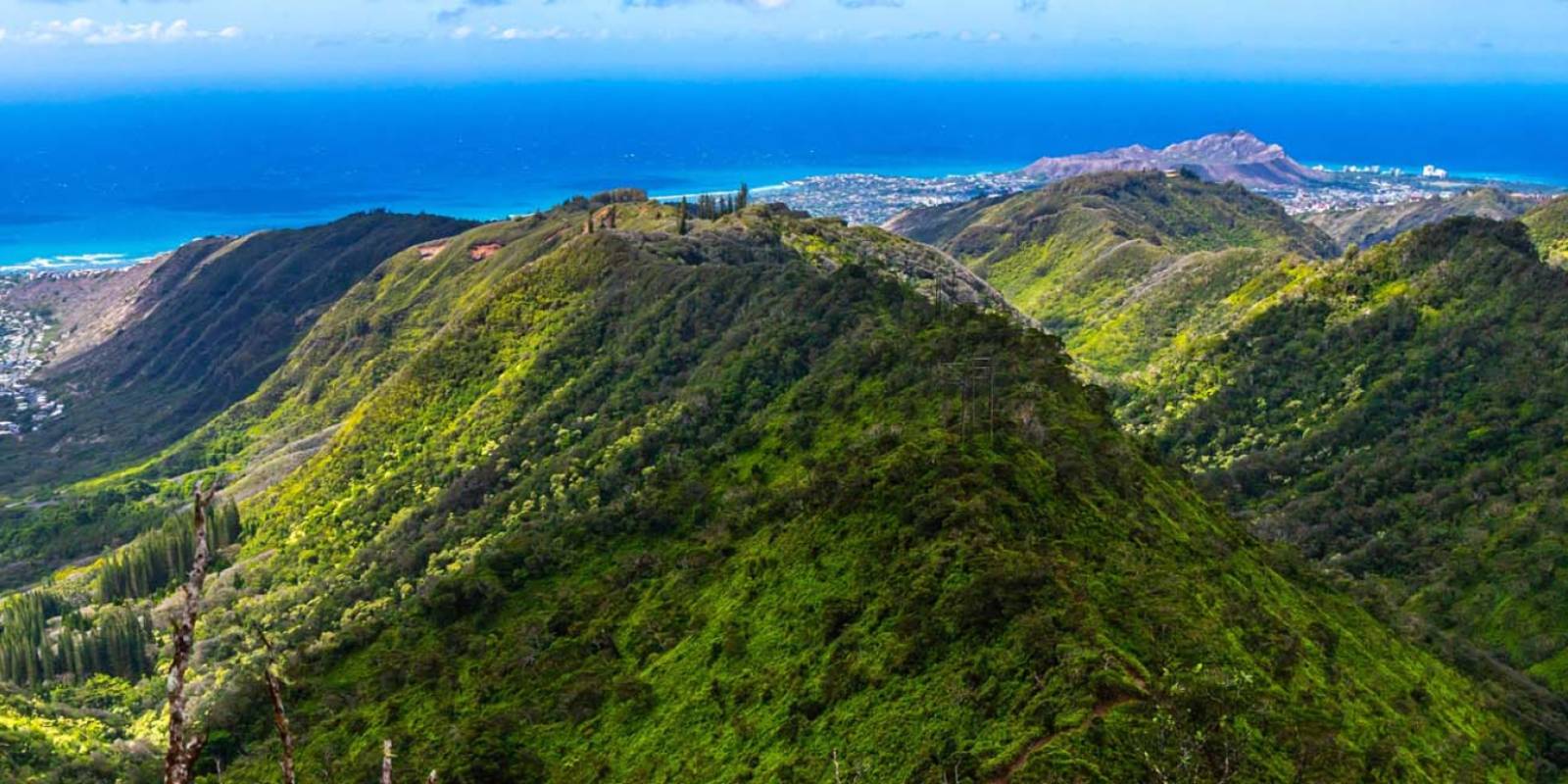
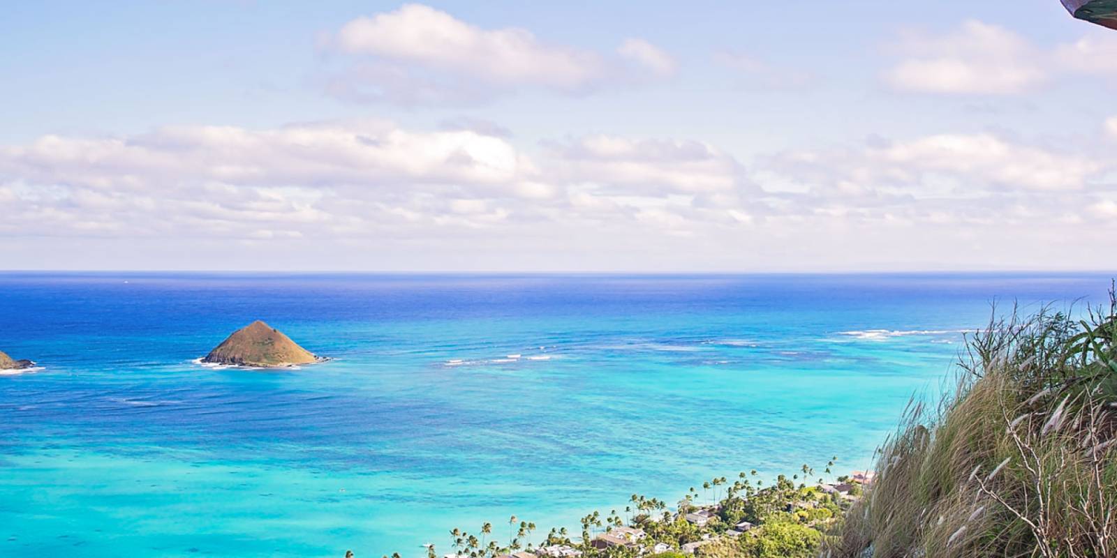
The trail has a lot of switchbacks to guide you up the side of the mountain. Just when you’re feeling winded you reach a ridgeline where you will enjoy cool breezes. The main trail then veers to the left into a grove of Cook pines that leads to the base of a red dirt hill. You can pause at the covered bench at the top before ascending the final climb to the peak. The climb is steep with lots of pesky roots that can be difficult to navigate. However, past the roots you will find the trip was worth it when you take in the view of the Kuliouou valley and ocean.
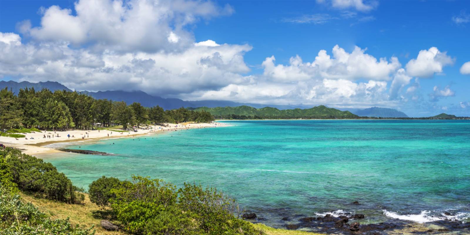
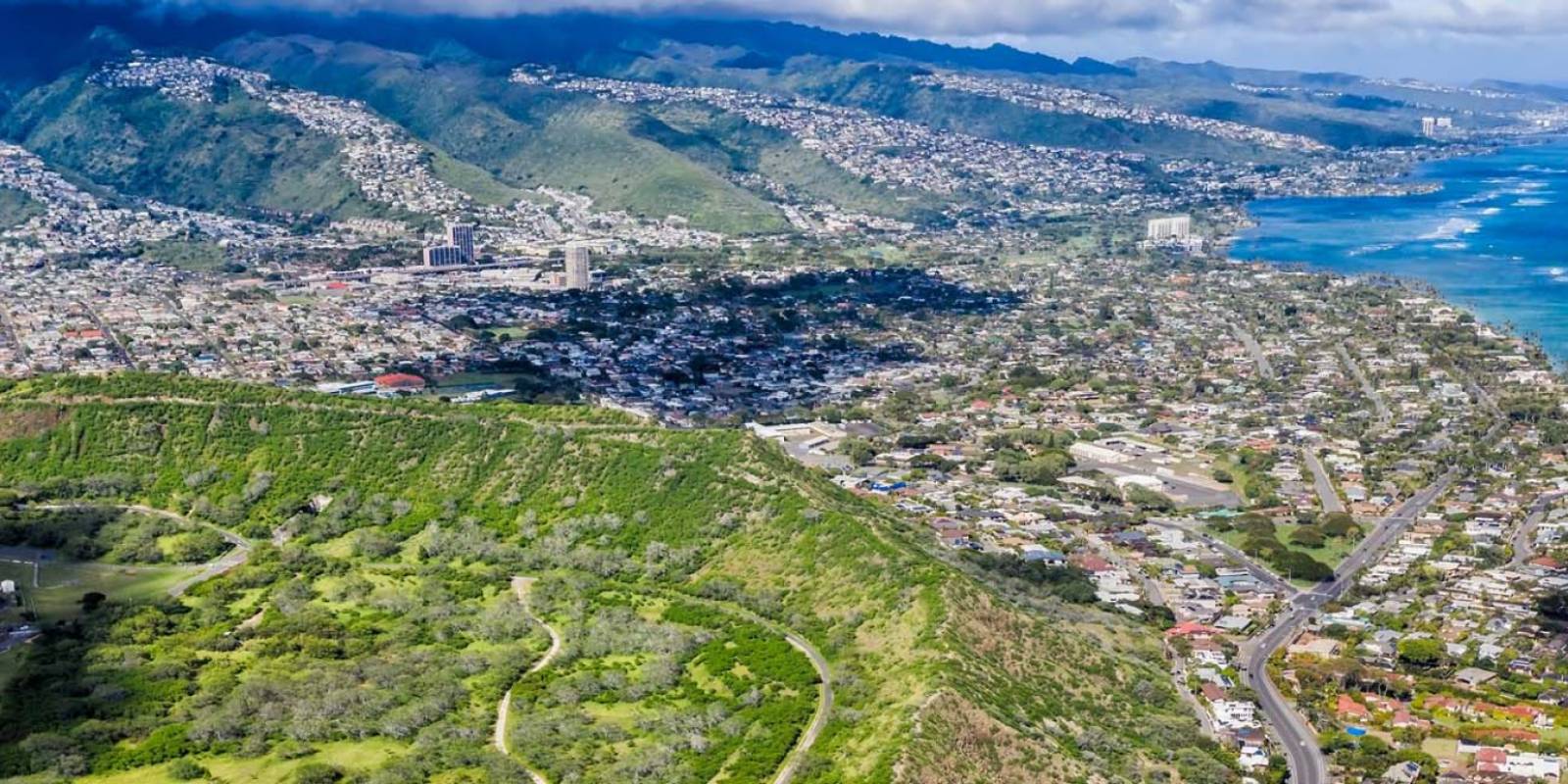
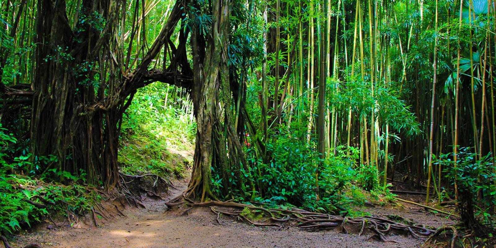
The trail continues through an interesting archway of banyan branches, to an even more breathtaking view from the ridge. Stairs make it easier to reach the final plateau where you will thank your lucky stars for persevering when you see the overwhelming views of beautiful East Oahu. Lush farms, sandy beaches, the endless Kailua coastline, the striking Kaneohe peninsula, and the outstanding view of the Koko Crater fight for your attention before you retreat down the trail.
Founder & certified Hawai'i travel expert with 20+ years in Hawai'i tourism, University of South Carolina climate-research training, and NOAA weather-station experience.
Trades are breezy right now with scattered showers on the windward side and mountains; the leeward coast stays mostly dry. Tomorrow stays breezy with the same pattern.
A tropical disturbance southeast of the islands is likely to become a tropical storm by mid-week and approach the state Thursday through Saturday. The exact track is still uncertain. If it comes closer, expect heavier rain over a longer stretch; if it stays farther out, impacts will be shorter and lighter. Winds will increase late this week, with potential gusts over 70 miles per hour on the highest summits.
Plan your leeward beach time and snorkeling for today through Tuesday. Save summit drives and offshore water sports for after Saturday, and check updates daily as this develops.
0:000:53
Voice
Read the transcript
Trade winds are pushing across Maui right now and staying breezy through tomorrow. Windward slopes and peaks will see scattered showers; the leeward side stays mostly dry. Rough seas mean a Small Craft Advisory is in effect through Tuesday evening.
A tropical disturbance southeast of the islands is likely to become a tropical storm by mid-week and approach the state Thursday through Saturday. The track remains uncertain. Late this week, winds will increase across Maui, with summit gusts potentially exceeding 70 mph on Haleakala. The Big Island—especially Hilo and Puna—faces the highest risk of heavy rain and flooding if the storm tracks close.
Leeward beaches and snorkeling work best today through Tuesday. Avoid summit hikes and offshore water sports Thursday through Saturday.
0:000:55
Voice
Read the transcript
Trades are kicking today with moderate wind and rough seas. Windward slopes will see scattered showers; the leeward side stays mostly dry. A Small Craft Advisory is in effect through Tuesday evening.
A tropical disturbance southeast of the islands is likely to become a tropical storm by mid-week and approach the state Thursday through Saturday. The track remains uncertain, but the Big Island faces the highest risk of heavy rain and flooding, especially in the Hilo and Puna areas. Summit winds could exceed 70 mph late in the week. Check forecasts daily as the situation develops.
Leeward snorkeling and beach time work well through Tuesday. Save summit drives and windward hikes for today or tomorrow, and avoid offshore water sports and high elevations Thursday through Saturday.
0:000:58
Voice
Read the transcript
Trades are steady now with scattered showers on the windward side and ridges; the leeward coast stays mostly dry. Through Tuesday it stays breezy with rough seas around Maui and the Big Island, where a Small Craft Advisory is in effect through Tuesday evening.
A tropical disturbance southeast of the islands is likely to become a tropical storm by mid-week and approach the state Thursday through Saturday. The exact track is uncertain. Winds will increase across the eastern islands late this week, with potential for summit gusts over 70 mph on Maui and the Big Island if the storm intensifies.
Get your beach and snorkel time in today and tomorrow on the leeward coast. Avoid summit hikes and offshore water sports Thursday through Saturday as conditions deteriorate. The track could shift significantly—check updates daily.
Created with AI from the official NWS forecast discussion · verify with NWS before heading out