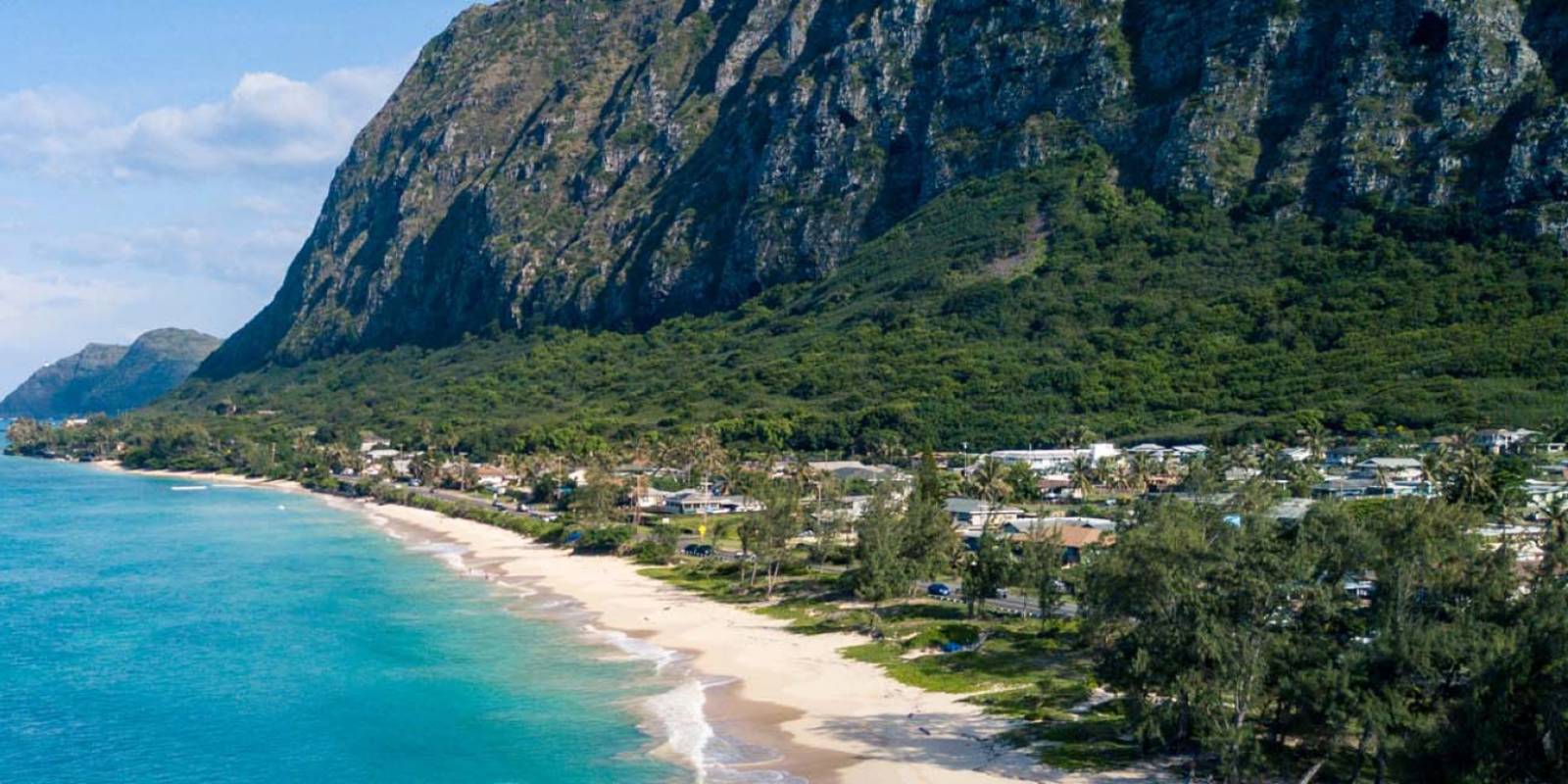
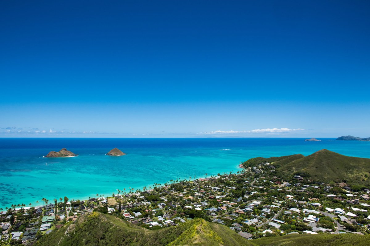
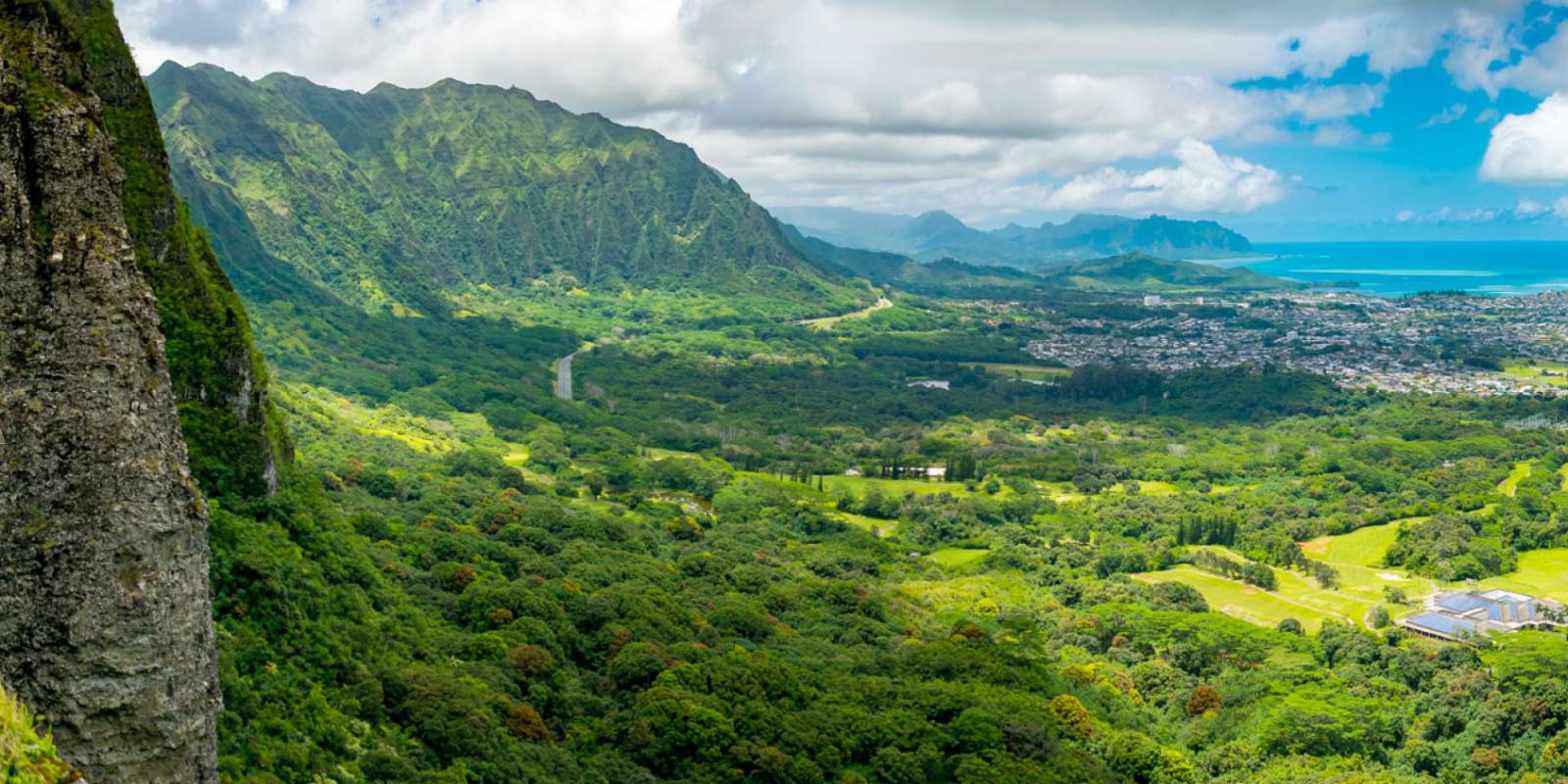
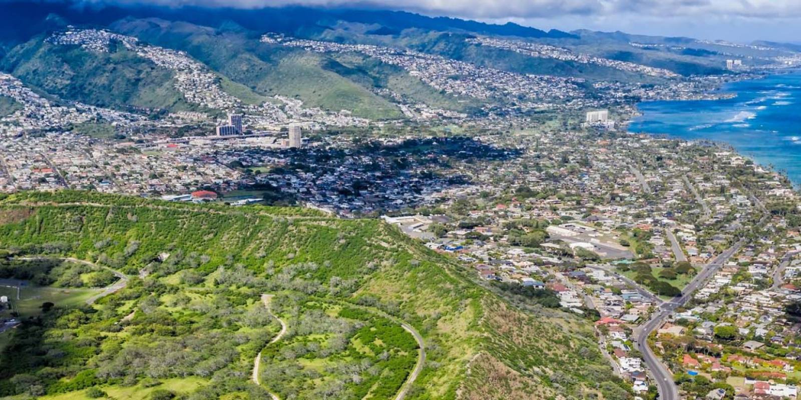
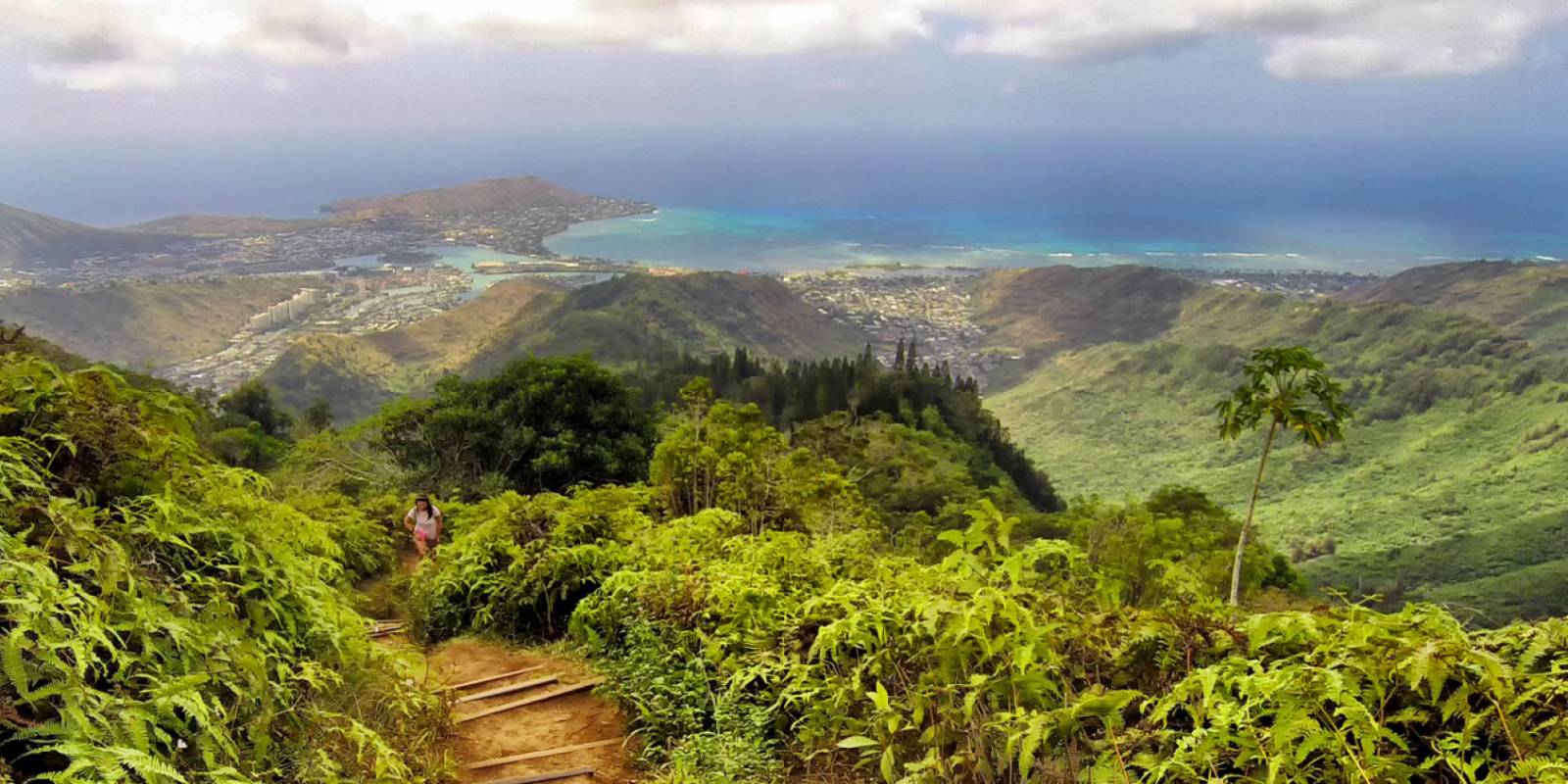
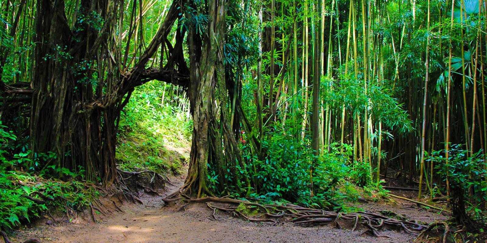
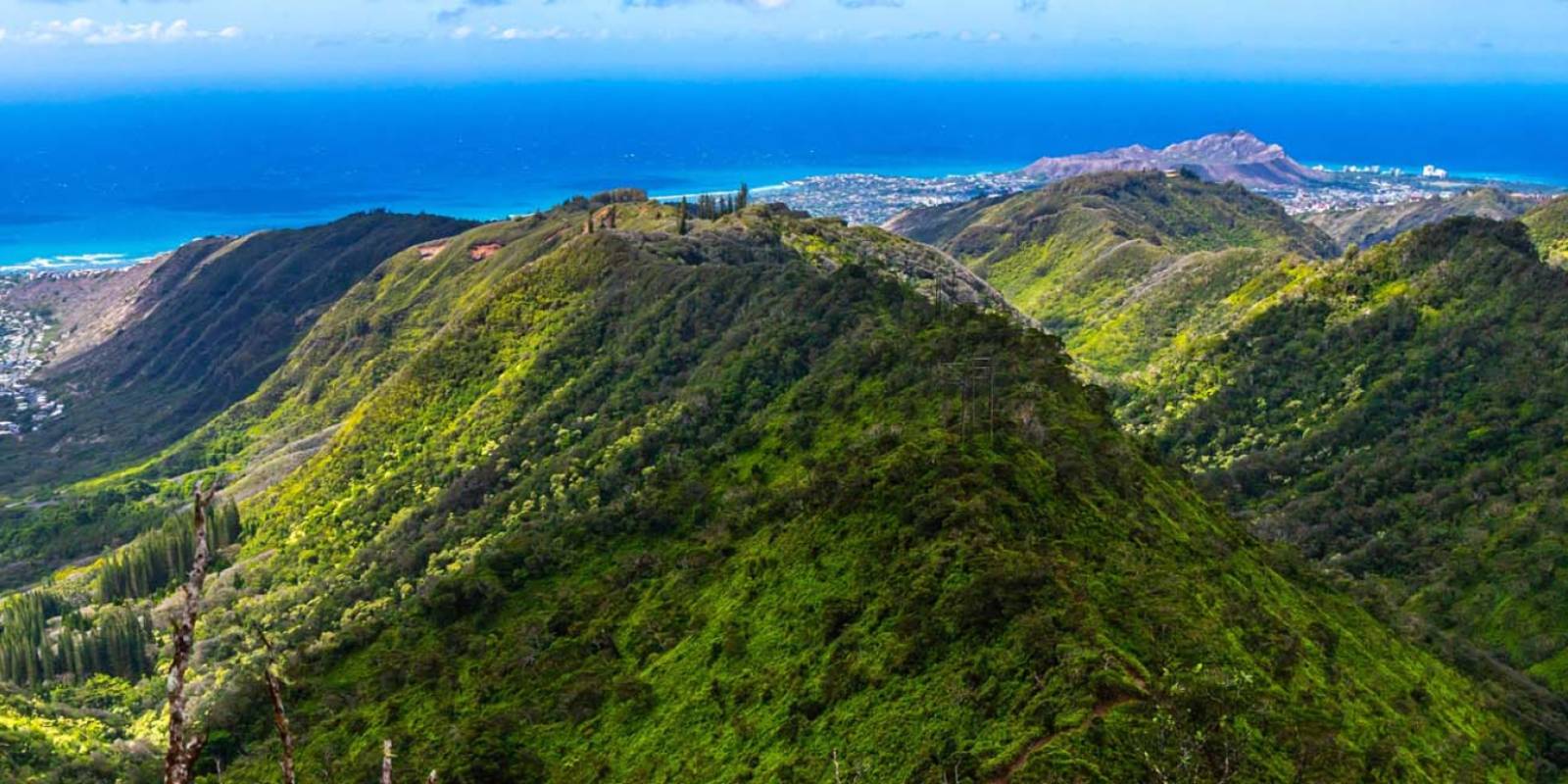
The Kaiwa Ridge Trail, also known as Lanikai Pillbox Hike, is an intermediate hike that will take you to some of the most stunning views on Oahu’s windward side. Sitting above Lanikai Beach, Kaiwa Ridge Trail has a steady steep grade throughout the climb.
Access begins with the neighborhood. The new Oʻahu plan listed on HTA's destination management plan hub identifies Kaʻiwa Ridge/Lanikai Pillbox as a visitor-pressure hotspot. There is no trailhead parking lot, and daytime parking restrictions apply in the surrounding neighborhood. Managed-access and “park once” transportation ideas are being evaluated; do not assume they are operating. Check current posted signs and official transit information, never use the country club lot or block a driveway, and avoid circling residential streets in search of a space.
Trail day tools
Before you drive to the trailhead, check the trail and weather layer.
Hawaii hikes can change quickly with closures, rain, mud, heat, and daylight.
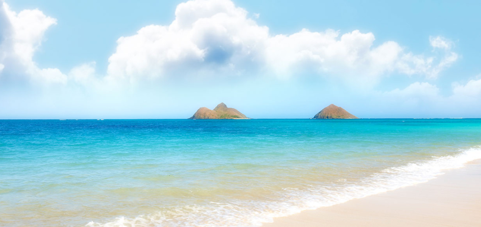
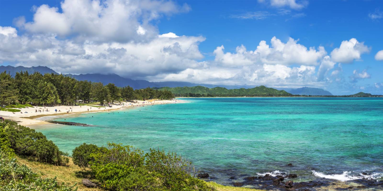
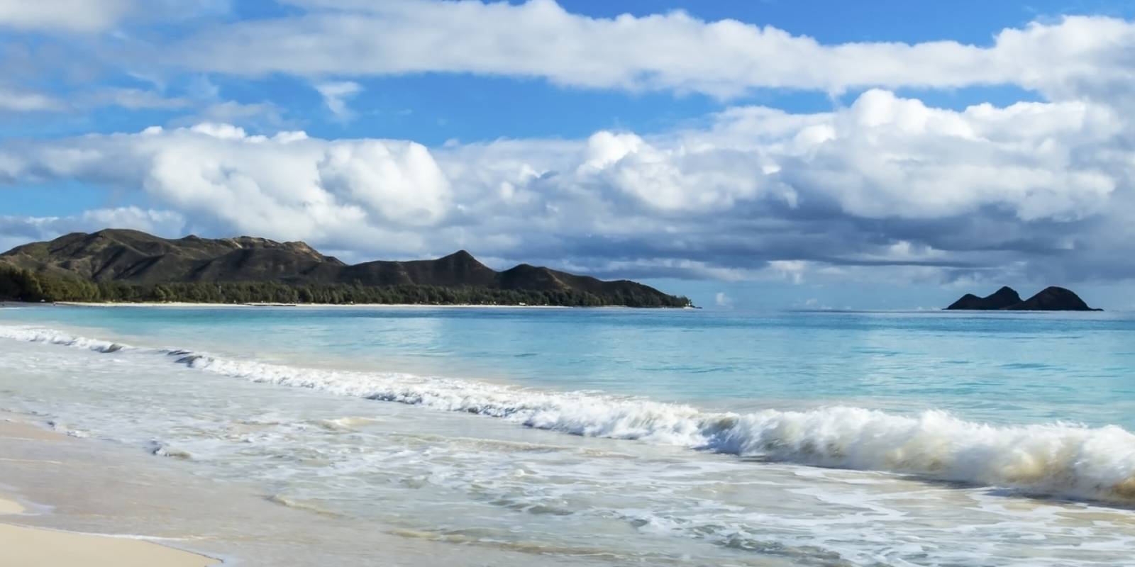
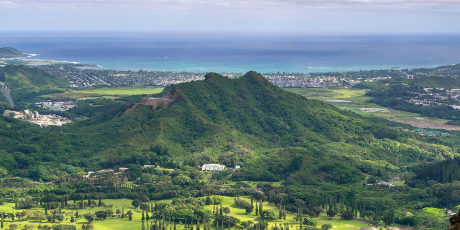
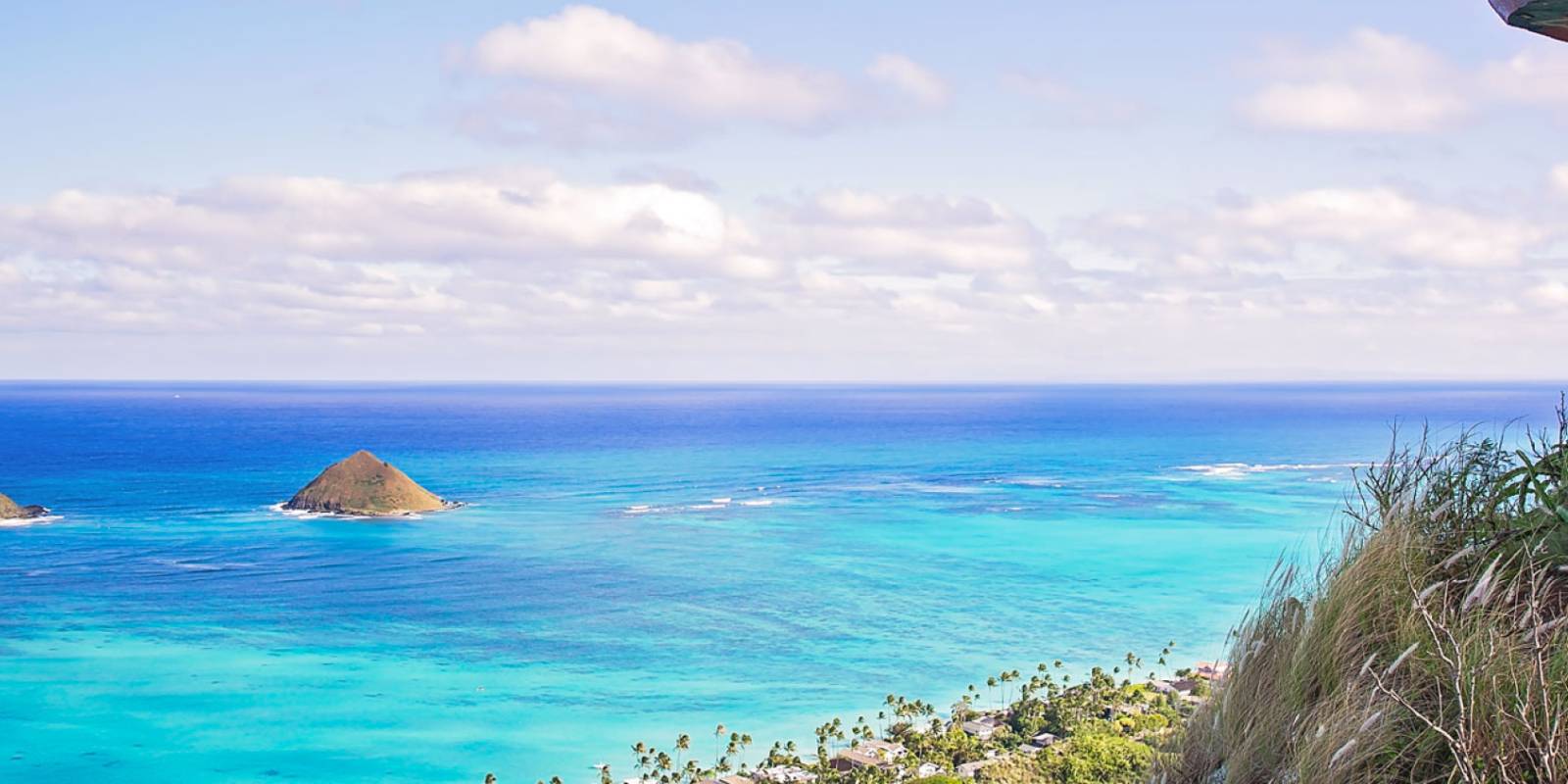
However, if you’re up to it, you will enjoy unbeatable views of the Mokulua Islands, Kailua Beach, and Lanikai Beach when you reach the top. It takes about an hour to 90 minutes roundtrip and you can choose how far up you wish to go. In hand with the steep grade, you will also be walking a trail with a lot of slippery gravel. Some people find the grass beside the trail is safer and the trail worth the effort to reach the stunning vista.
If you aren’t up to the full trek, the first pillbox is only about 20 to 30 minutes away. You can choose to turn around here or travel another 10 minutes or so to reach the second lookout and pillbox. The scenery along the trail offers broad coastal views whether you turn around at a pillbox or continue farther along the ridge.
There is no formal trailhead parking lot. Do not park in the Mid-Pacific Country Club lot, block a driveway, or repeatedly circle residential streets. Use only parking that is legal under current posted signs, or check current TheBus and City transportation information for a park-once approach. Keep voices, doors, and music quiet while walking through the neighborhood, especially early in the day. If you cannot reach the trail without adding to the access conflict, choose another hike.
Whether you are a fitness enthusiast determined to run the trails or more of an ambler, you will find the ideal hiking trails to lead you to the unmatched views of Oahu.
Founder & certified Hawai'i travel expert with 20+ years in Hawai'i tourism, University of South Carolina climate-research training, and NOAA weather-station experience.
Trades are breezy right now with scattered showers on the windward side and mountains; the leeward coast stays mostly dry. Tomorrow stays breezy with the same pattern.
A tropical disturbance southeast of the islands is likely to become a tropical storm by mid-week and approach the state Thursday through Saturday. The exact track is still uncertain. If it comes closer, expect heavier rain over a longer stretch; if it stays farther out, impacts will be shorter and lighter. Winds will increase late this week, with potential gusts over 70 miles per hour on the highest summits.
Plan your leeward beach time and snorkeling for today through Tuesday. Save summit drives and offshore water sports for after Saturday, and check updates daily as this develops.
0:000:53
Voice
Read the transcript
Trade winds are pushing across Maui right now and staying breezy through tomorrow. Windward slopes and peaks will see scattered showers; the leeward side stays mostly dry. Rough seas mean a Small Craft Advisory is in effect through Tuesday evening.
A tropical disturbance southeast of the islands is likely to become a tropical storm by mid-week and approach the state Thursday through Saturday. The track remains uncertain. Late this week, winds will increase across Maui, with summit gusts potentially exceeding 70 mph on Haleakala. The Big Island—especially Hilo and Puna—faces the highest risk of heavy rain and flooding if the storm tracks close.
Leeward beaches and snorkeling work best today through Tuesday. Avoid summit hikes and offshore water sports Thursday through Saturday.
0:000:55
Voice
Read the transcript
Trades are kicking today with moderate wind and rough seas. Windward slopes will see scattered showers; the leeward side stays mostly dry. A Small Craft Advisory is in effect through Tuesday evening.
A tropical disturbance southeast of the islands is likely to become a tropical storm by mid-week and approach the state Thursday through Saturday. The track remains uncertain, but the Big Island faces the highest risk of heavy rain and flooding, especially in the Hilo and Puna areas. Summit winds could exceed 70 mph late in the week. Check forecasts daily as the situation develops.
Leeward snorkeling and beach time work well through Tuesday. Save summit drives and windward hikes for today or tomorrow, and avoid offshore water sports and high elevations Thursday through Saturday.
0:000:58
Voice
Read the transcript
Trades are steady now with scattered showers on the windward side and ridges; the leeward coast stays mostly dry. Through Tuesday it stays breezy with rough seas around Maui and the Big Island, where a Small Craft Advisory is in effect through Tuesday evening.
A tropical disturbance southeast of the islands is likely to become a tropical storm by mid-week and approach the state Thursday through Saturday. The exact track is uncertain. Winds will increase across the eastern islands late this week, with potential for summit gusts over 70 mph on Maui and the Big Island if the storm intensifies.
Get your beach and snorkel time in today and tomorrow on the leeward coast. Avoid summit hikes and offshore water sports Thursday through Saturday as conditions deteriorate. The track could shift significantly—check updates daily.
Created with AI from the official NWS forecast discussion · verify with NWS before heading out



 Been here? Tap to stamp