
The Hawaiian snorkel scene most visitors picture is summer-coded — bright sun, palm trees, somebody in a mask paddling around a reef. That picture is mostly right. What it leaves out is that summer itself has a peak, and the peak is later than most travelers assume. From roughly mid-August through mid-September, the trade winds soften, the south swell that has dominated leeward shores all summer fades, and the north shores are still in their off-season calm. Late August through mid-September often gives all four islands unusually calm water at the same time. If you can swing a trip in that window, the snorkeling is as good as Hawaiʻi gets. This is a planning piece for travelers eyeing late summer 2026. Below is where the late-August / early-September calm hits hardest by island, what to book ahead of time before the window opens, and the small list of cautions to read against a calm day. The point isn’t that other months are bad — Hawaiian snorkeling is good in any month with the right plan. The point is that this one specific stretch is unusually generous, and almost nobody plans around it.
Why the water lays down in late summer
Three weather patterns line up in mid-to-late August. The first is the trade winds, which blow from the northeast across the islands the rest of the year. By August the Pacific High that drives the trades drifts north and weakens, and trade speeds drop into single digits or fail entirely on stretches of days. The National Weather Service Honolulu office tracks these as “light and variable” or Kona-pattern days. They feel hot and sticky on land, but they leave leeward water nearly motionless. The second is the south swell. South-facing coasts — Waikīkī on Oʻahu, Wailea and Kīhei on Maui, Poʻipū on Kauaʻi, Kona on the Big Island — receive energy generated in the Southern Hemisphere winter, thousands of miles south of Hawaiʻi. Hawaiʻi’s Ocean Safety division documents that south swells peak roughly May through September and taper by mid-September as Southern Hemisphere storms move off. By the back half of August, the south is small and inconsistent. The third is the north shore, still in its summer off-season. The deep North Pacific low-pressure systems that drive the famous winter swells don’t activate until October or November in a normal year — the same Ocean Safety page covers the pattern explicitly. So the same coasts that are closed for swimming in February are still flat and clear in late August. The overlap is the point. Most months one coast is doing well and another is roughed up. In late August all four sides of the island can run calm at once. One honest caveat. Late summer is also peak hurricane season for the Central Pacific. NOAA’s Central Pacific Hurricane Center tracks the climatological peak as mid-August through mid-September. Most named storms pass well south of the islands without impact, but the window that delivers the calmest water is the same window when a tropical system can swing in close enough to disrupt a snorkel plan for a few days. Check the forecast at the start of any trip, and have a backup itinerary. Our hurricane season piece covers the practical version of this for travelers.
Big Island — Kona coast at its glassiest
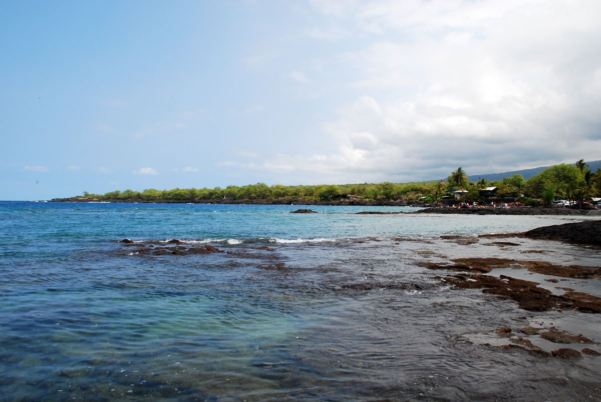
The Big Island’s Kona coast is the late-summer snorkel champion. Kona sits in the lee of Mauna Loa and Hualālai — Mauna Loa’s summit tops 13,000 feet per the USGS — and that mass blocks most trade-wind swell, creating what locals call “lake conditions” for stretches of the morning. The water runs gin-clear on calm days. The reef is healthy. Green sea turtles (honu) are common along most of the leeward coast. Two Step is the headline. The entry is a pair of natural lava steps just outside Puʻuhonua o Hōnaunau National Historical Park, and the snorkel zone opens onto a steep drop-off with finger coral, schooling reef fish, and turtles cleaning at coral stations. The actual snorkel area is on public Hawaiʻi County land just outside the park boundary, but the easiest parking is inside the park (NPS charges $20 per vehicle for a 7-day pass, per the official fees page). Arrive at 7 AM. By 9, the small parking lot is full and the lot down the road is filling. Spinner dolphins sometimes pass through in pods — they’re protected under federal law with a 50-yard approach buffer per NOAA’s 2021 rule. Watch from where you are; don’t chase. Kealakekua Bay is the more committed version. The bay’s far side, near the Captain Cook Monument, holds a deep, intact reef wall — and you can’t drive to it. The water access options are a kayak paddle of roughly 3.5 miles round trip from the nearest launch, a permitted boat tour, or the steep Kaʻawaloa Trail, listed at about 3.8 miles round trip on AllTrails. DLNR’s state historical park page covers the access rules, and the kayak/landing permit system is documented on the same page. Most travelers book one of the established morning snorkel boats out of Keauhou — Fair Wind has run Captain Cook trips since 1971 on a 60-foot catamaran with a private mooring on the monument side. Compare Big Island snorkel tours on Viator. A quieter alternative the package brochures usually skip: Aiʻopio Beach, inside Kaloko-Honokōhau National Historical Park just north of the Kona airport. The beach sits inside a partially restored Hawaiian fishpond, the water is bath-warm, and the back side of the small bay snorkels well in flat conditions. Entry to the park is free per the park’s official fees page. Read the park’s visitor page on cultural respect first — this is an active wahi kūpuna (ancestral place), not a resort beach.
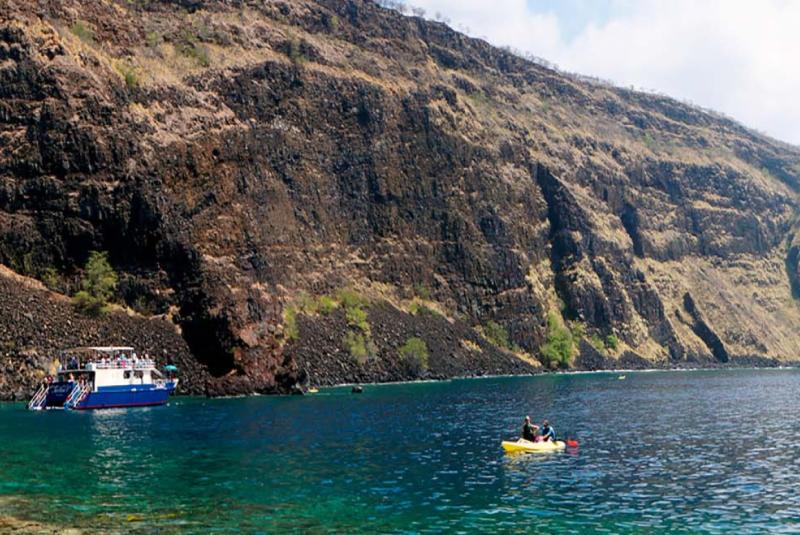
Kona coast snorkeling. The Mauna Loa massif behind the camera kills the trade wind before it reaches the water; visibility runs at its annual best in late summer.
Maui — Lahaina-side bays in their fullest summer form
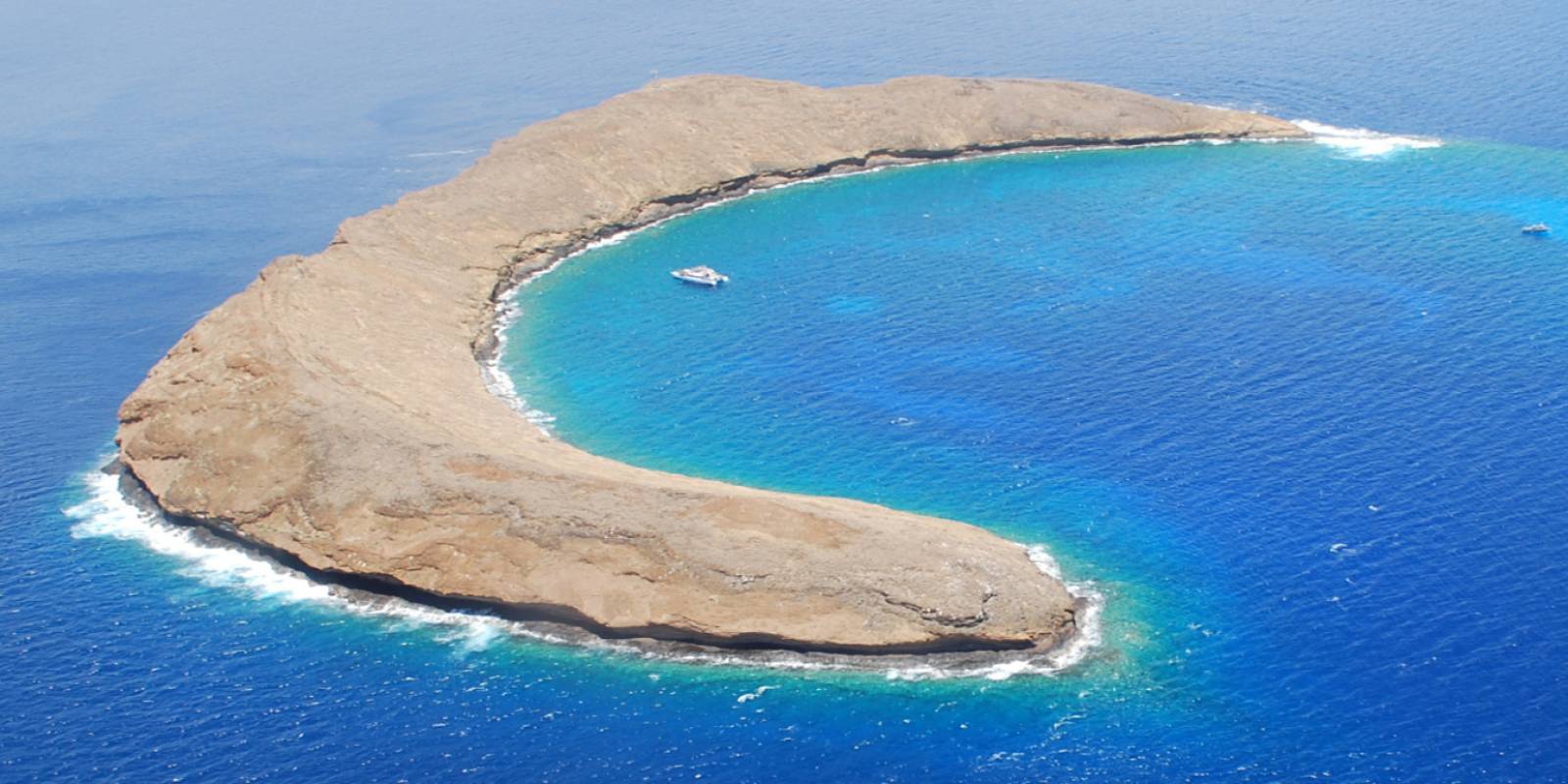
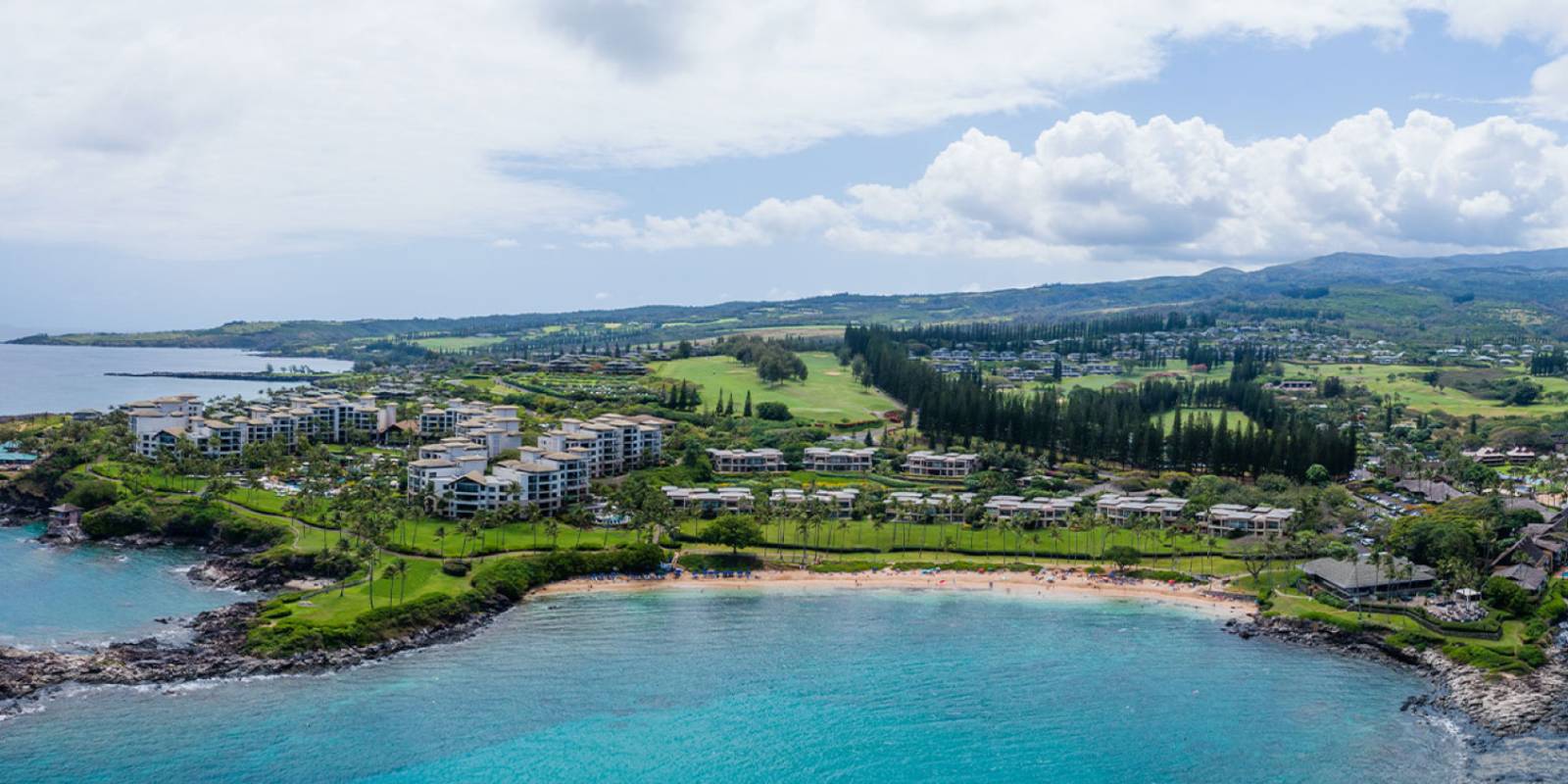
Maui’s leeward coast — the Kāʻanapali-to-Kapalua stretch on the west side and the Wailea-to-Mākena stretch on the south — is the island’s snorkel core. Both fire in late summer once the south swell drops. The west side is calmer than the south in this window because Lānaʻi and Molokaʻi sit offshore as natural breakwaters; even when the south coast is taking a small pulse of energy, the west side stays glass. Kapalua Bay is the bay that Stephen Leatherman (“Dr. Beach”) named America’s #1 beach in 1991 (confirmed on the Dr. Beach past-winners list). The reef wraps the headlands on either side of a small sand pocket, the water is shoulder-deep for most of the swim zone, and butterflyfish, parrotfish, and the occasional honu work the reef line. The Kapalua Resort’s beach page covers the public access and parking — the small public lot fills early in summer. Honolua Bay is the deeper-cut sister to the north, inside the Honolua-Mokulēʻia Bay Marine Life Conservation District. The MLCD prohibits taking any fish, coral, sand, or rock — read the rules before you go. The entry is a short walk through a coastal forest to a cobblestone beach, and the snorkel runs along the bay’s right side where a tall coral wall steps down in tiers. Honolua is a winter surf break (a fixture in the big-wave WSL rotation), which means by August it’s empty of surfers and the visibility hits its annual peak. Don’t enter when there’s any north-component swell; the same wave that surfers want makes the cobblestone entry treacherous. On the south side, Ulua Beach in Wailea and Maluaka Beach in Mākena are the two leeward standbys — both fronted by resort properties but with marked public-access paths. The right side of Ulua snorkels well; the south end of Maluaka — locally called “Turtle Town” — sees regular green sea turtle activity through the late-summer morning. Both are exposed to summer south swell more than the west side, which is why mid-August onward — after the swell drops — is when they show their best. The Maui Ocean Center in Māʻalaea publishes free ocean conservation material worth a read on the way out to either beach. The package excursion that most visitors book to Maui is the boat to Molokini Crater. Molokini is worth doing if the wind is calm — the volcanic crescent sits about three miles off the south coast and delivers reef + open-ocean conditions you can’t access from shore. Morning tours are the move; afternoons can blow out as the daytime sea breeze fills in. Compare Molokini snorkel tours on Viator.
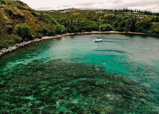
Honolua Bay. The big-wave winter break empties out by August and the MLCD reef on the bay's right side opens up for clear-water snorkeling.
Oʻahu — Hanauma Bay reservations, and the Ko Olina alternative
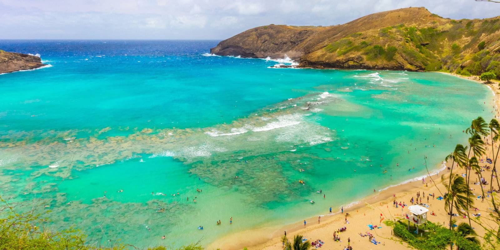
Oʻahu’s signature snorkel is Hanauma Bay, a flooded volcanic crater on the island’s southeast corner with a near-perfect ring of reef and a sandy lagoon inside. The bay is now reservation-only for non-residents per the official reservation site, which is the right call for the reef but also the most-missed planning step on the island. Reservations release at 7 AM Hawaiʻi Standard Time exactly 48 hours before each entry day. The daily non-resident cap is around 1,400 visitors per local reporting, and the slots go fast — weekends in particular clear in minutes. Entry is $25 per person (non-residents 13+), parking is $3 per vehicle, and the bay is closed Mondays and Tuesdays per the City and County of Honolulu. Plan to arrive 15 minutes before your slot for the mandatory orientation video. Hawaiʻi residents enter free with valid ID. Full current details on our Hanauma Bay reservations page. What to know once you’re in: the reef is closest to shore on the right side of the bay (looking out), and the deeper water on the left side (the “slot” between the inner and outer reefs) is where most of the bigger fish work — needlefish, jacks, the occasional reef shark. The bay runs calmer in late summer than most windows because the south swell is decaying and the trade-wind chop the bay normally takes from the northeast can’t reach the bay’s south-facing mouth. Late August through September tends to be the year’s clearest-water stretch. For travelers who can’t land a reservation, the Ko Olina Lagoons on Oʻahu’s west side are the underrated alternative. The four crescent-shaped lagoons are man-made breakwaters fronting the Ko Olina resort area, but each one is open to the public via marked right-of-way paths and parking. Lagoon 1, the southernmost of the four, sits in front of the Four Seasons Resort Oahu at Ko Olina (the property that took over after the JW Marriott Ihilani closed in 2015) and has the most marine life — reef fish, sea turtles, and a sandy bottom that drops off gradually. No reservation, no fee. Each lagoon has limited public parking that tends to fill by mid-morning on a weekend; arrive by 9 AM. The breakwater design keeps the water calm in every season, and the shallow sandy bottom makes for an easy entry with kids. In the late-summer window the visibility steps up another notch. On the North Shore, the same MLCD-protected pockets that open up only in summer — Sharks Cove and Three Tables at Pūpūkea — are still in their season through September. The detailed handling for those is in our recent North Shore summer beach guide; same rules apply through the late-summer window.
Kauaʻi — north shore reef opens up before the surf season returns
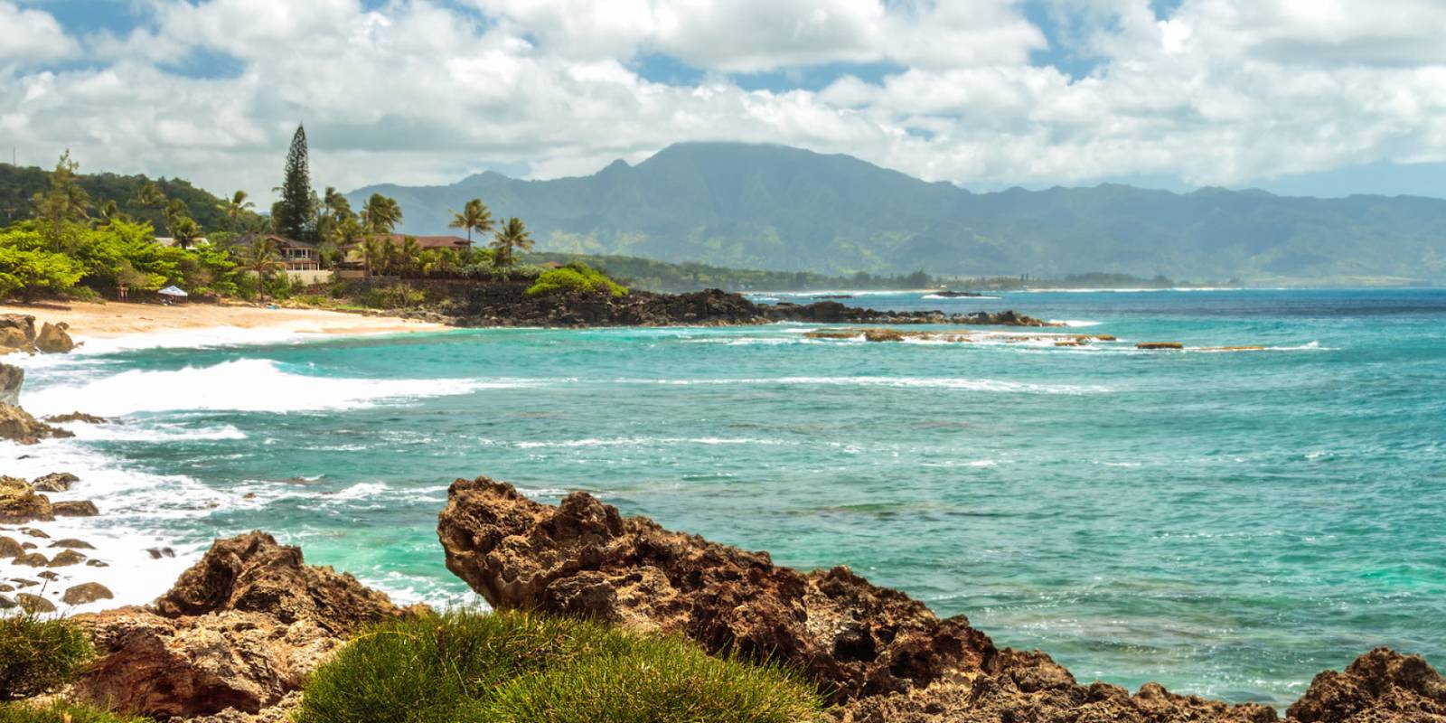
Kauaʻi’s split personality plays directly into late-summer snorkeling. The north shore — Hanalei to Hāʻena — is the surf coast in winter and a flat, reef-fringed shoreline in summer. The south shore — Poʻipū — is the sunnier, drier coast that’s been taking summer south swells since May. By late August, the south swell has eased and the north shore is still in its calm window. Both sides snorkel well in the same week. Tunnels Beach (officially Makua Beach) is the North Shore showpiece. The reef offshore is a maze of lava tubes — the source of the “Tunnels” name — and a calm late-summer morning can deliver visibility that rivals the Kona coast. Access is the catch. The two small public lots at Hāʻena Beach Park have a hard cap and tend to fill early in the morning, and there’s no overflow parking on the road. Some visitors walk in from Hāʻena Beach Park’s lot, about half a mile west. Don’t park on the highway shoulders — local enforcement is consistent and the tickets are real. The reef itself sits inside the boundary of Hāʻena State Park’s outer-reef extension; check for any closures at the DLNR state park page before you go. ʻAnini Beach, between Princeville and Kīlauea, is the easiest family snorkel on the island. A long fringing reef runs roughly 200 yards offshore and turns the entire beach into a wading-depth lagoon (covered in the Kauai.com beach guide). The reef line itself, where the depth drops, is where the snorkel happens. The shallow protected water and the gentle entry suit younger kids, and there’s a county park with restrooms, picnic tables, and a campground at the west end. Access is straightforward off Anini Road; no fee. On the south side, Lawaʻi Beach (in front of the Beach House Restaurant in Poʻipū) is the local-favorite snorkel for short-window swims — small, shallow, and ringed by an inshore reef. The beach itself is tiny; the snorkel zone is in the shallows directly out from the small grassy park. Parking is along Lawaʻi Road. Combine it with Poʻipū Beach Park a few minutes east, one of the island’s lifeguarded beaches, where a sand bar protects a small swim area for very young snorkelers.
What to book ahead — and what to skip
The late-summer window is short enough that a few advance bookings are worth the effort. Specifically: Hanauma Bay reservations. 48 hours ahead at 7 AM HST, at the city’s official reservation page. Set a phone alarm; the slots clear in minutes on weekends. Molokini boat tours. The Maui morning boats out of Māʻalaea Harbor (and a few from Kīhei) fill up in late August. Look for the early-morning trip (typically a 6 AM check-in) rather than the cheaper noon “snorkel-and-cocktail” variant — wind picks up by midday and the crater can blow out. Compare Molokini tours on Viator. Captain Cook / Kealakekua Bay tours. Fair Wind, Sea Quest, and Body Glove are the established permitted operators; book a week ahead in this window. Compare Big Island snorkel tours on Viator. Reef-safe sunscreen. Hawaiʻi’s Act 104 bans the sale of sunscreens with oxybenzone or octinoxate without a prescription. Maui County goes further and bans the sale of non-mineral sunscreen without a prescription per Ordinance 5306 — read our explainer. Pack zinc oxide before you fly; the airport price markups are punishing. Browse reef-safe zinc oxide sunscreens on Amazon ahead of your trip. Rental car. Rates often ease later in summer after the back-to-school dip in visitor traffic on the U.S. mainland. Lock in early through Discount Hawaii Car Rental, the aggregator we use for Hawaiian rates. What to skip in this window: don’t pay for a “snorkel cruise” that’s really a sunset cruise with snorkel gear. The morning is when the water is glass; afternoon trips usually downgrade to swimming, not snorkeling. And don’t expect winter surf-coast spots — Pipeline on Oʻahu, Honolua on Maui’s surf days — to function as “snorkel” destinations even when they’re flat in late summer; the local etiquette and access notes still apply.

ʻAnini Beach on Kauaʻi's north shore. The fringing reef sits roughly 200 yards offshore and makes for an easy family snorkel, especially in the late-summer window.
Checking conditions on the day
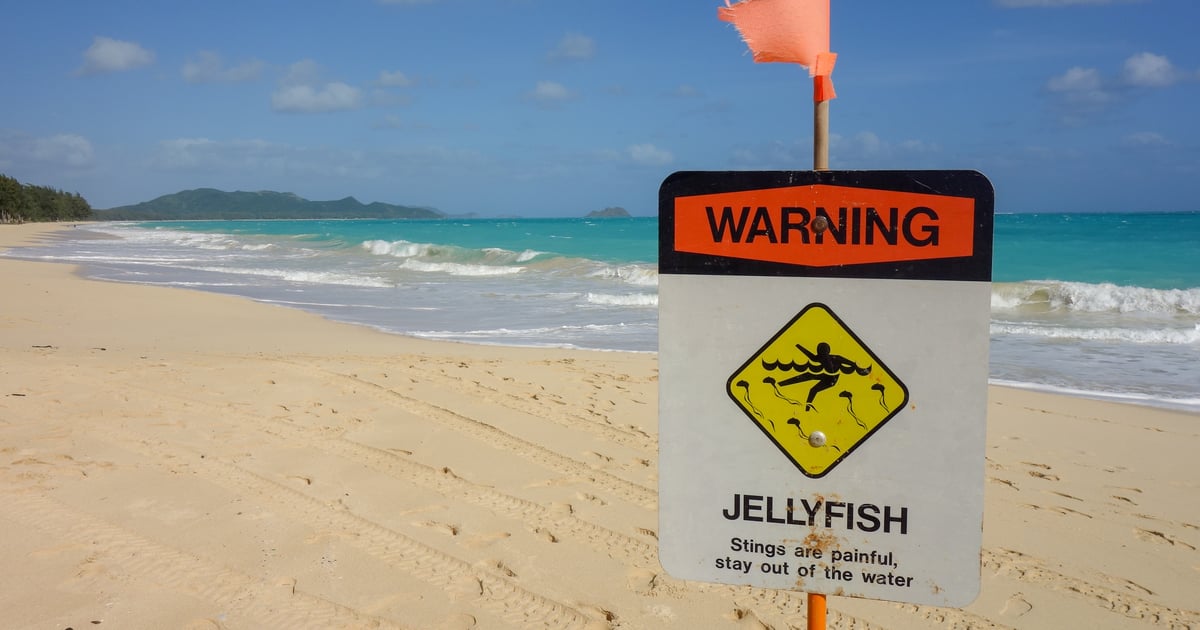
Even in the calmest window of the year, three condition checks are worth doing the morning of any snorkel: Box jellyfish window. Hawaiʻi gets a predictable monthly influx of box jellyfish on south-facing shores 7–10 days after the full moon, per the Waikiki Aquarium. Our jellyfish calendar tool shows the upcoming windows for every island. The August 2026 full moon is August 27 (per Time and Date), which puts the post-moon influx window roughly September 4–7 — south-facing beaches in particular post warning signs. Daily ocean and surf forecast. Our ocean report tool pulls the live NWS Honolulu surf forecast for every island. The most reliable read: if there’s any current high surf advisory for the coast you’re aiming at, snorkel somewhere else that day. Trade wind direction. Strong easterly trades chop the water on windward shores even when the swell is small. Trades dropping into single digits is the signal that the leeward coasts are at their glassiest. Most days in late August and September, the answer to all three is green. That’s the unusual thing about this window — most months at least one of the three flags is up. From mid-August through mid-September it’s the rare stretch where the whole forecast cooperates.
The bottom line
The reef itself rewards a slow trip. Park early. Sit on the sand for 10 minutes and read the water before you put a mask on. Watch where the locals go in. Let a turtle pass without chasing it. The same patience that makes the late-summer window a gift to snorkelers also makes the reef better for everyone who comes after you. That’s the late-summer rhythm — calm water, fewer visitors, and reef communities that have had a quiet stretch to settle in. The next swell will turn it all over again come October. The window is short. Plan for it.