

 Been here? Tap to stamp
Waimea Canyon, Kauai
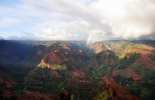
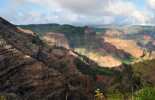
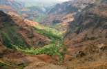
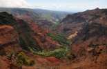
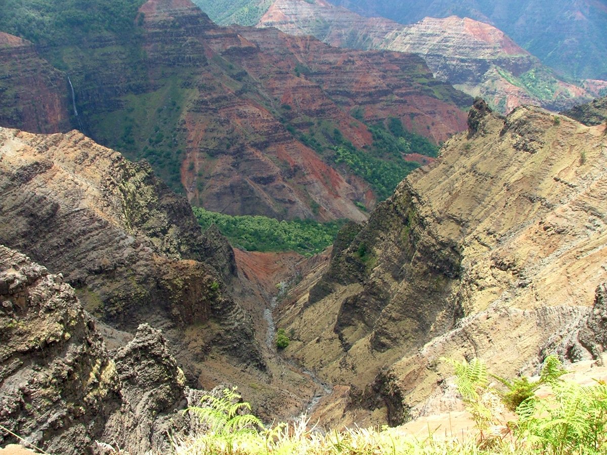
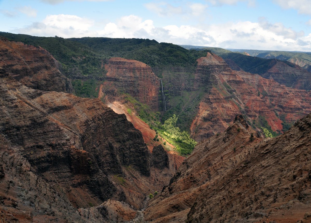
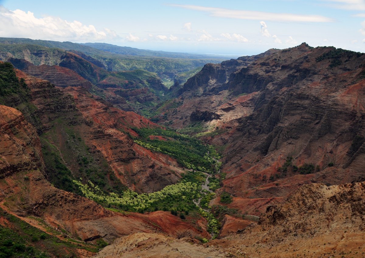
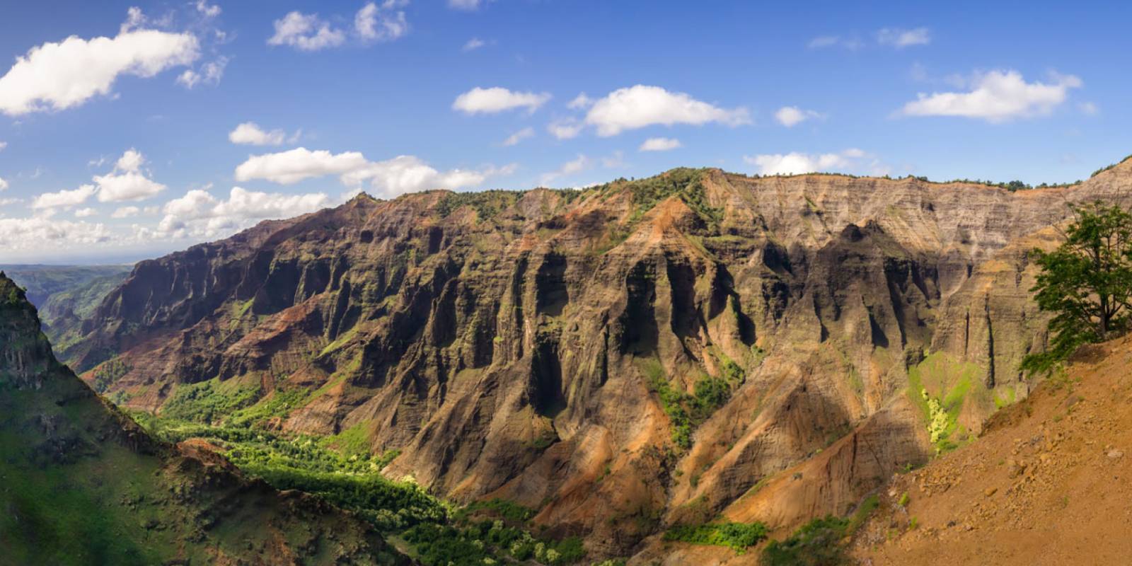
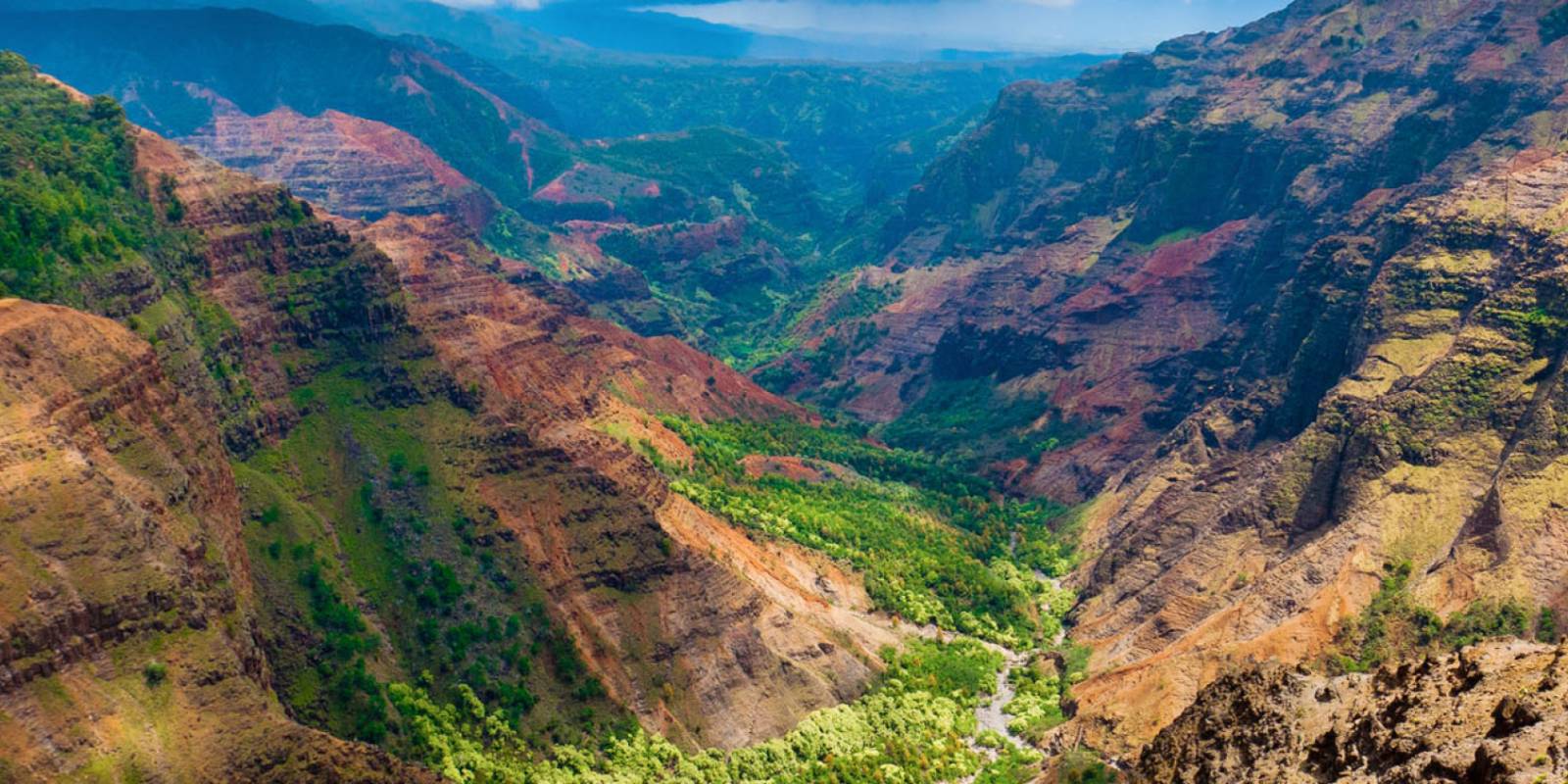
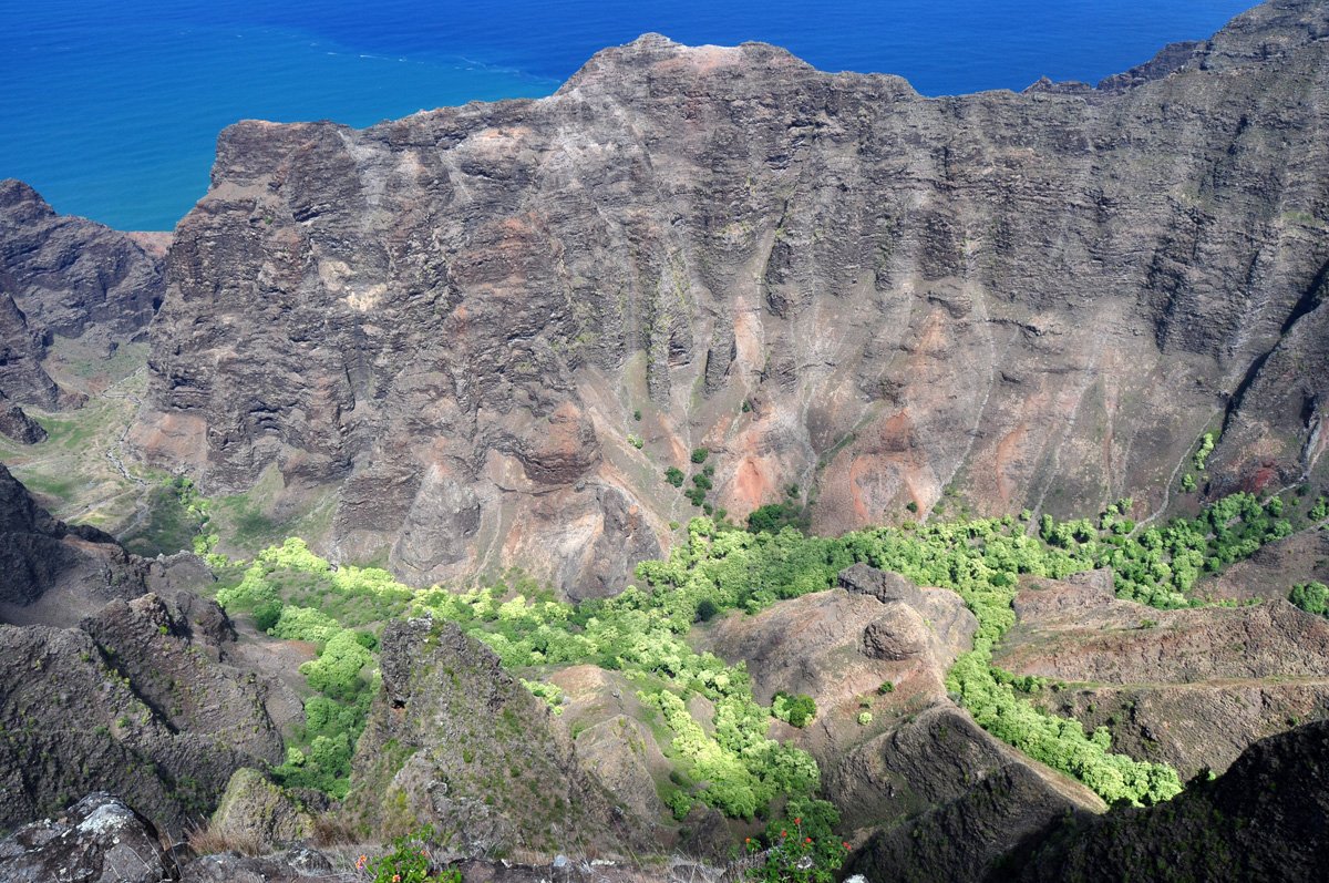
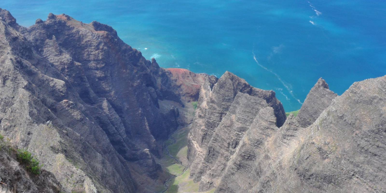
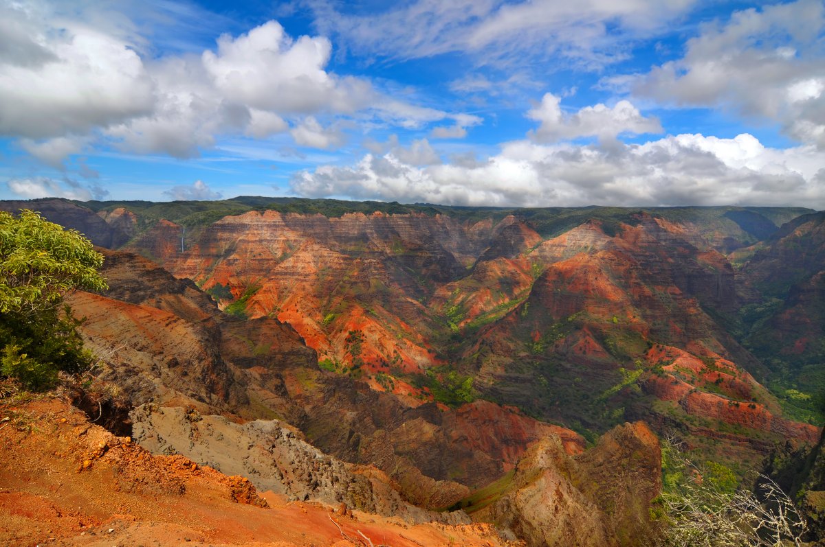
Waimea Canyon is Kauai's big west-side counterpoint to the green North Shore: red and green canyon walls, dry ridges, waterfalls, wide pullouts, short rim walks, and a paved road that keeps climbing into the cooler Kōkeʻe uplands. It is often called the Grand Canyon of the Pacific, but the practical visitor question is simpler: which stops are worth your limited clear-weather window?
Use this page as the decision hub. If you want a narrated drive, start with our free Waimea Canyon Drive audio route. If you want a real hike, use the dedicated trail guides. The trail and upper-park options below are for a future official reopening; the Kōkeʻe museum area is not a current visitor-access alternative.
For a future official reopening: The canyon belongs in the same day-plan conversation as Kōkeʻe State Park, Kalalau Lookout, and Puʻu o Kila Lookout. Waimea Canyon gives you the red-walled gorge; Kōkeʻe gives you the high forest and trail hub; the upper lookouts give you the Na Pali/Kalalau side when weather allows.
Check DLNR before the drive if lookout access, roadwork, or parking capacity could affect your day. The park road is paved, but it is narrow, curvy, and exposed to fast-changing upland weather.
Waimea Canyon Lookouts
Choose Your Waimea Canyon Plan
Current limit: Only the first Waimea Canyon Lookout has reopened during daylight, unless an emergency closure applies; confirm a permitted approach first. The multi-stop drive and hiking plans in this table are normal-operation options after an official reopening.
The right Waimea Canyon day depends on weather, driving comfort, hiking appetite, and whether you want canyon views, Kōkeʻe forest, or Kalalau Valley from above.
| If this is your priority | Best plan | Watch-outs |
|---|---|---|
| First-time canyon views | Drive Waimea Canyon Road and stop at Waimea Canyon Lookout, Puʻu Ka Pele Lookout, and Puʻu Hinahina Lookout. | DLNR’s October 23, 2026 release reopens only the first Waimea Canyon Lookout from October 24 during daylight, including holidays, unless an emergency park closure applies. Confirm a permitted approach with HDOT/DLNR and follow posted controls before driving. |
| Audio-guided drive | Use the free Waimea Canyon Drive audio route from Waimea Town up Route 550. | Download or load the page before you lose reliable service on the climb. |
| Easy hike with canyon payoff | Choose the Cliff and Canyon Trail area near Puʻu Hinahina. | Red dirt gets slick after rain, and exposed edges deserve distance. |
| Harder canyon workout | Use the Kukui Trail only if you are ready for a steep canyon descent and climb back out. | Heat, limited shade, and the return climb make this much harder than the mileage suggests. |
| Na Pali views by road | Continue into Kōkeʻe State Park to Kalalau Lookout and Puʻu o Kila Lookout. | Those are Kalalau/Na Pali viewpoints, not canyon viewpoints, and they can be fully clouded in. |
| No-driving or aerial option | Compare Kauai sightseeing tours or Kauai helicopter tours. | Tours still depend on weather and may not follow the same stops you would choose on your own. |
Before you start uphill, top off gas in Waimea or another west-side town, bring water and snacks, and expect the upper road to feel cooler than the coast. The drive is paved, but it is still a mountain road with curves, pullouts, and changing visibility.


Best Hikes in Waimea Canyon
Future planning only: The current partial opening does not reopen the park’s hiking areas or Kōkeʻe. Wait for an official reopening before using these trail suggestions.
The canyon is not only a lookout stop. A few trails give you rim views, waterfall-adjacent canyon scenery, or a serious descent toward the canyon floor. Use this section to choose the right type of hike, then open the dedicated guide before committing.
Short Canyon-Rim Stop
If you only want a quick leg stretch, look for short nature and rim paths near the main canyon pullouts. These are best treated as scenic add-ons, not full hikes, and conditions can still be muddy or slippery after rain.
Cliff and Canyon Trail
The Cliff and Canyon Trail is the practical first hiking pick for many visitors because it gives a real canyon-rim feel without turning the day into a backpacking-level effort. It is still a red-dirt trail with exposed sections, so skip it in poor footing or low-visibility conditions.
Kukui Trail
The Kukui Trail is the canyon workout. It drops quickly from the rim and saves the hardest work for the climb back out. Strong hikers may love it; casual visitors who only want a view should not choose this as an impulse stop.
Kōkeʻe and Na Pali Ridge Trails
If your goal is high forest, Kalalau Valley, or Na Pali ridge views, you are really choosing a Kōkeʻe hike, not a Waimea Canyon hike. Start with the Kōkeʻe and Waimea State Park hiking hub, then compare routes such as Pihea Trail, Awaʻawapuhi Trail, and Alakaʻi Swamp Trail.
For trail maps and current conditions, check the Kauai hiking maps page or the trail status page. If rain, fog, or slick red dirt make the route questionable, choose lookouts and the museum area instead.

Waimea Canyon Scenic Drive: Mile by Mile
Normal-operation route: The sequence below describes a future trip after official reopening and confirmed road access. It is not a permitted itinerary during the first-lookout-only opening.
Waimea Canyon Road / Kōkeʻe Road climbs from the west side toward the canyon rim, Kōkeʻe, Kalalau Lookout, and Puʻu o Kila. The most useful way to plan it is not by racing to the end of the road. Treat it as a sequence: west-side services, canyon lookouts, Kōkeʻe hub, then upper Na Pali viewpoints if the sky is cooperating.
Want the stops in order? Open our free Waimea Canyon Drive audio route before you start uphill. It is built for the Route 550 climb and is a better fit than turning this page into a turn-by-turn script.
Key stops along the drive
- Waimea Town: last practical west-side services before the climb. Fuel up, use restrooms, and settle navigation before cell service gets less predictable.
- Waimea Canyon Lookout: the classic first canyon stop and the place many visitors get their main view.
- Puʻu Ka Pele Lookout: a smaller canyon pullout with a different angle on the gorge and Waipoʻo Falls area.
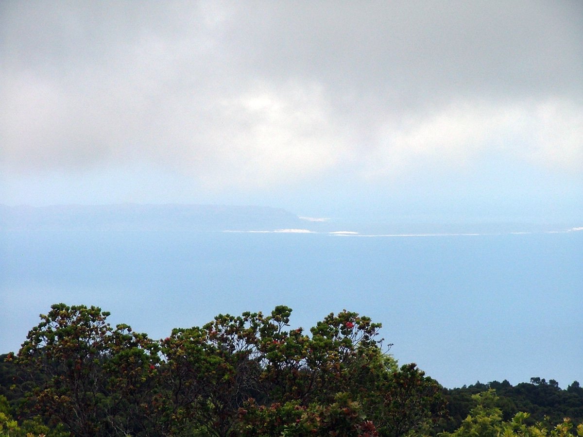
- Puʻu Hinahina Lookout: useful for canyon views, Niʻihau views on clear days, and nearby trail access.
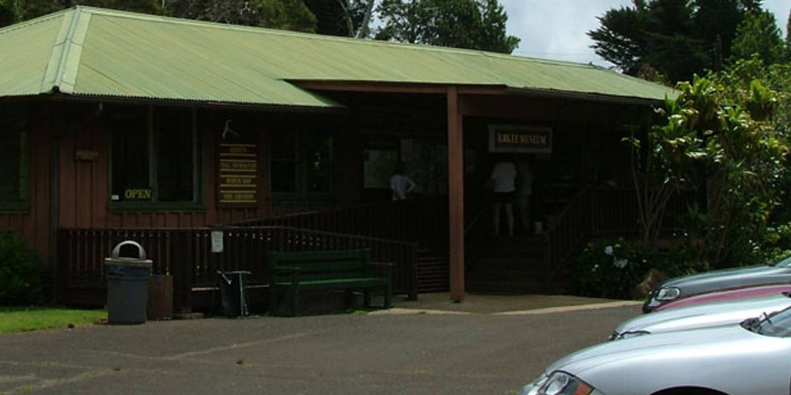
- Kōkeʻe State Park: the high-country hub for picnic areas, museum/lodge planning, and trail decisions.
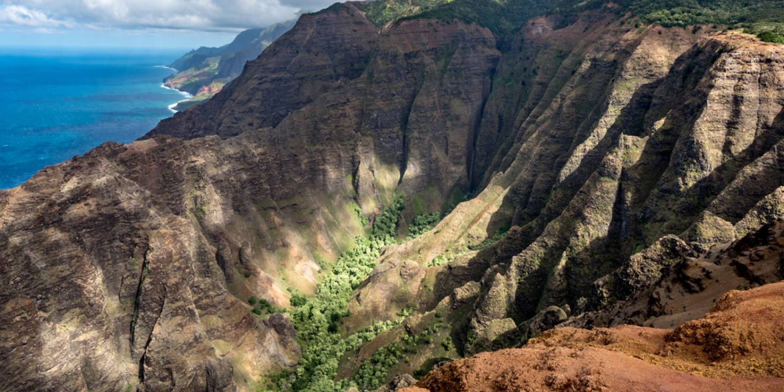
- Kalalau Lookout: a different experience from Waimea Canyon, looking into Kalalau Valley on the Na Pali side.
- Puʻu o Kila Lookout: the upper-road payoff when the view is open and the starting point for the Pihea Trail.
Driving tip: Take it slow, use pullouts when needed, and do not assume the upper lookouts will match the weather at the coast. See our Kauai maps page for island context and driving-time planning.
Best Time to Visit Waimea Canyon
Time of day: DLNR’s October 23, 2026 release reopens only the first Waimea Canyon Lookout from October 24 during daylight, including holidays, unless an emergency park closure applies. Confirm a permitted approach with HDOT/DLNR and follow posted controls before driving.
Season: Drier periods usually make trails and viewpoints easier, but Waimea Canyon and Kōkeʻe can still be windy, cool, wet, or clouded in. Wetter periods make red dirt slick and can turn ambitious hikes into poor choices. Bring layers even if the coast feels warm.
Combination tip for a future official reopening: Most visitors should pair Waimea Canyon with Kōkeʻe and the Kalalau-area lookouts in one half-day to full-day west-side plan. Add a hike only if the weather, footing, daylight, and your energy level all line up.
Compare Kauai rental car rates — you’ll need a car to reach Waimea Canyon. No public transit serves the canyon road.
Waimea Canyon FAQ
Is Waimea Canyon worth visiting?
Waimea Canyon is a major first-trip sight, but currently only the first lookout has reopened during daylight, unless an emergency closure applies. Confirm a permitted road approach before driving. Kōkeʻe and the remaining park areas are closed.
How long does it take to see Waimea Canyon?
The usual 3–4-hour scenic-drive plan with several lookouts and Kōkeʻe or Kalalau add-ons is for normal operations after an official reopening. It does not describe the current first-lookout-only opening; confirm a permitted approach before planning a visit.
Is Waimea Canyon free?
DLNR’s October 23, 2026 notice temporarily waives entry fees while the remaining park sections are closed; parking fees are still collected. The normal non-resident rates are $5 per person and $10 per non-commercial vehicle. Residents normally enter and park free with valid Hawaiʻi ID. A parking ticket does not permit entry to closed areas.
What is the best time of day to visit Waimea Canyon?
DLNR’s October 23, 2026 release reopens only the first Waimea Canyon Lookout from October 24 during daylight, including holidays, unless an emergency park closure applies. Confirm a permitted approach with HDOT/DLNR and follow posted controls before driving.
Should I stop at Kōkeʻe and Kalalau Lookout too?
Not during the current partial reopening. Kōkeʻe State Park and the remaining Waimea Canyon park areas, including Puʻu o Kila Lookout, remain closed. Kōkeʻe and Kalalau-area additions are future options only after official reopening and confirmed road access.
 View full-resolution Waimea Canyon trail map
Waimea Canyon Map
Waimea Canyon Tours & Audio Route
Use these pages when you want help with the drive, a guided sightseeing day, or an aerial view instead of planning every stop yourself.
Hiking Gear
Make a great adventure even better by being prepared for anything you encounter along the trail. From great hiking boots, adventure cameras, Hawaii guidebooks, and more, we have a wide variety of hiking gear and travel supplies you'll need. Browse our selections, pick up what you need, and be safe, comfy, and well-outfitted with Hawaii Guide. Mahalo!