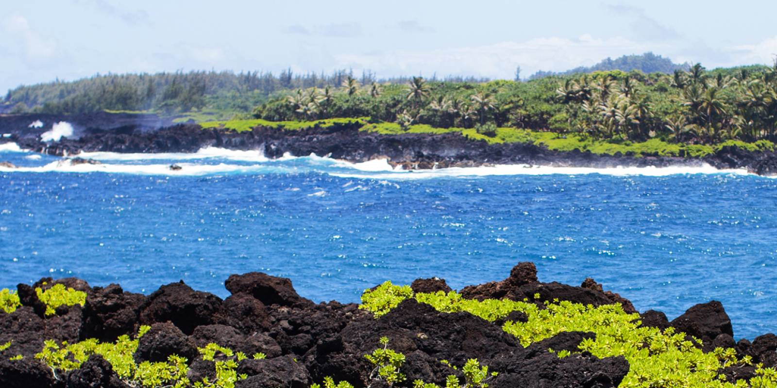


 Been here? Tap to stamp
Hana Highway Bamboo Trail
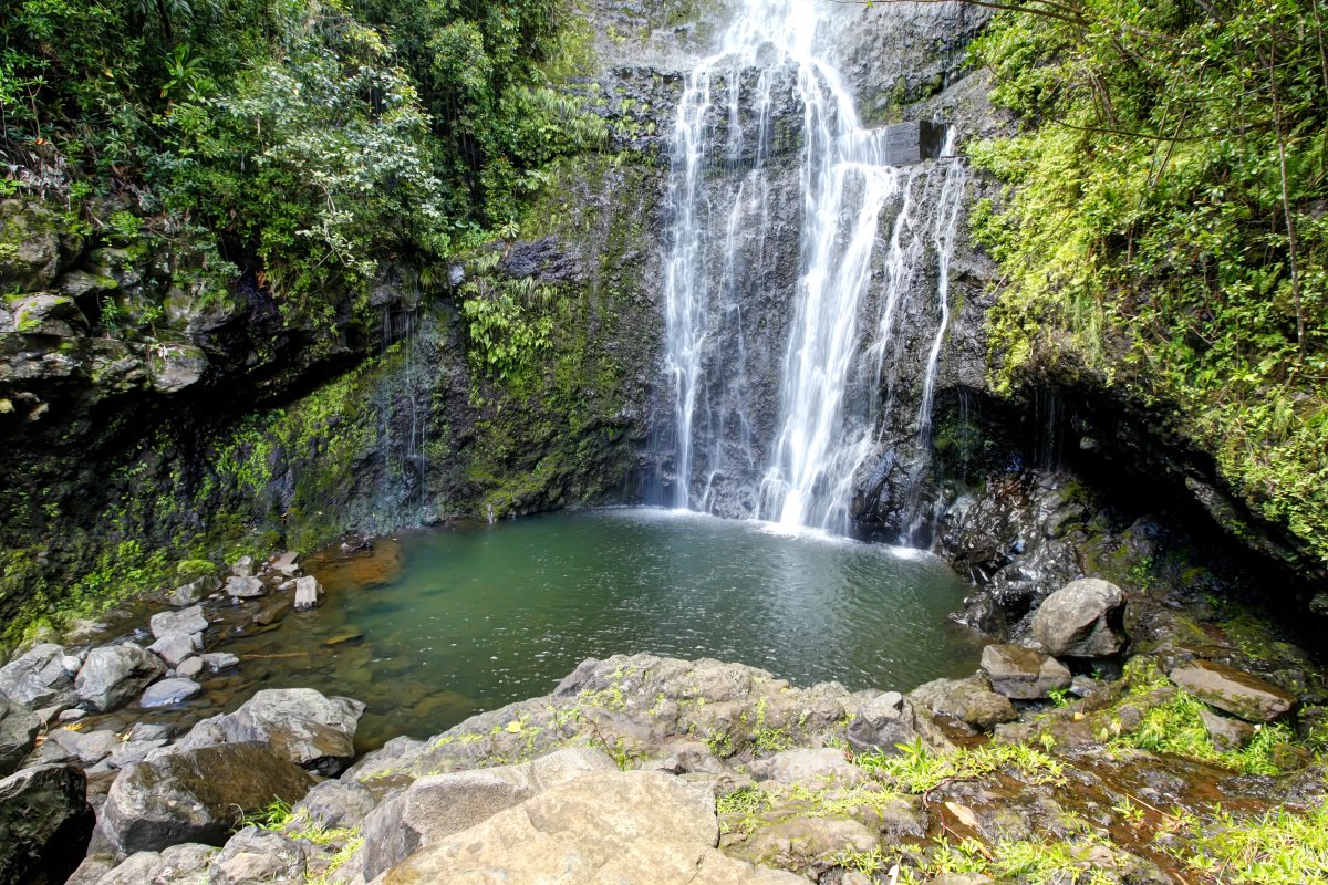
Waimoku Falls
The Pipiwai Trail- with its stunning waterfalls, huge bamboo forest, idyllic stream, and more beauty than you can imagine- is simply one of the best hikes on Maui.
The NPS trail description rates Pīpīwai as moderately strenuous: four miles round trip with about 800 feet of elevation gain to the Waimoku Falls viewing area. Set a turnaround time around your pace, daylight and return drive; do not use a fixed hiking time as a guarantee.
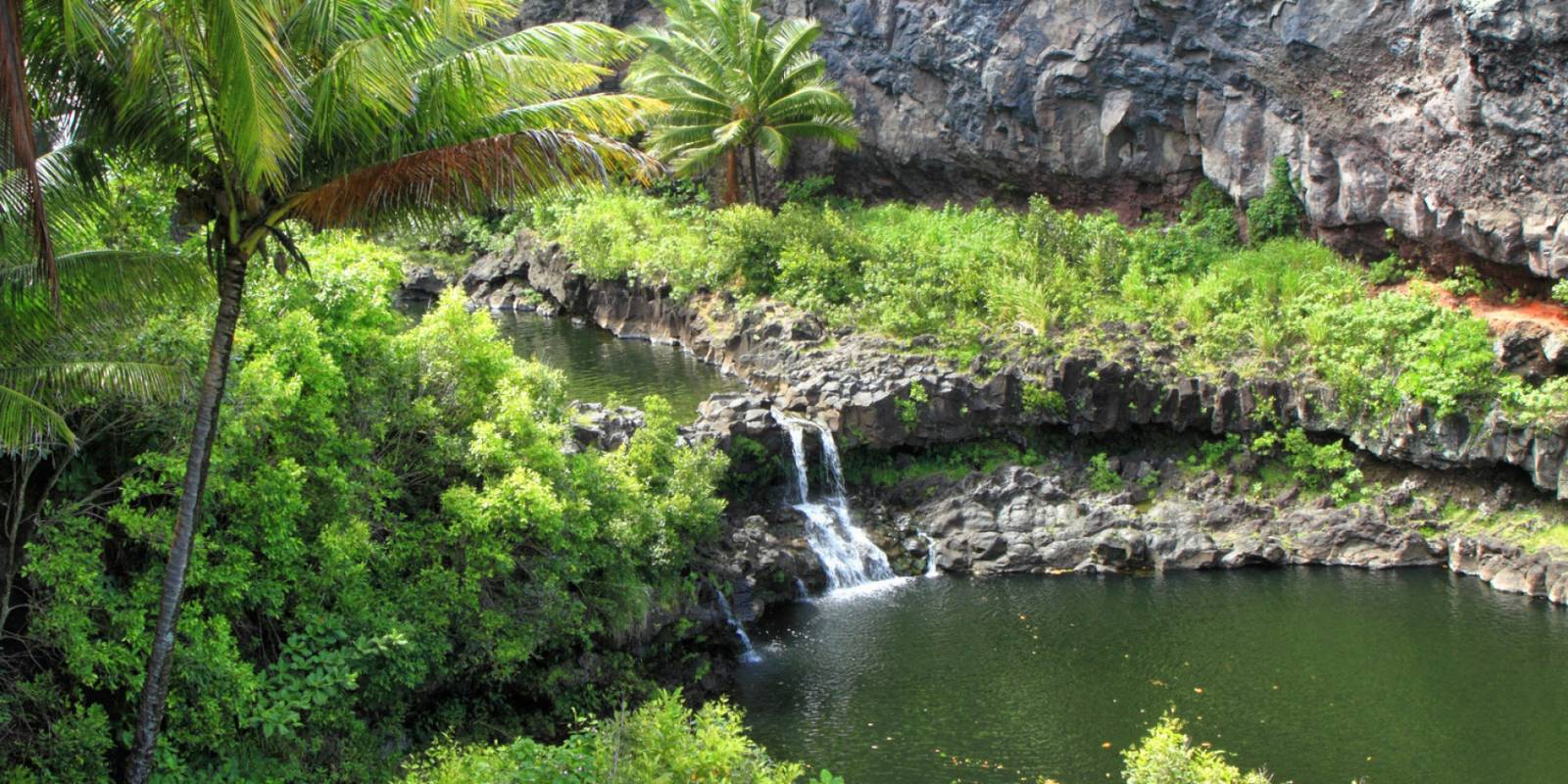
There are several great waterfalls along the route; the destination being Waimoku Falls, which drops 400 ft. down a sheer lava rock wall shaped like a horseshoe. If it's been wet in the area recently, you may find yourself surrounded by numerous small waterfalls on the surrounding cliff face. This is an absolutely beautiful falls and well worth the hike to access.
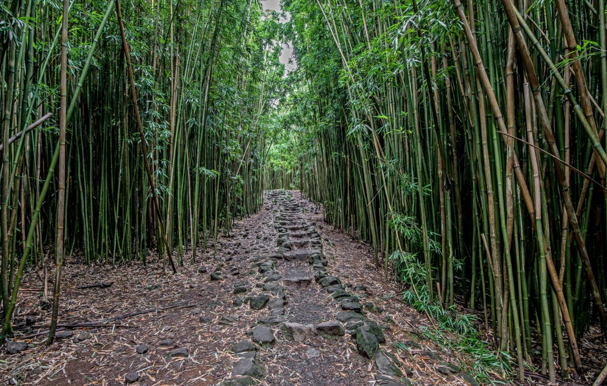
The Waimoku Falls hike passes the nearly 200-foot Makahiku Falls which is also beautiful. Basically, the hike to Waimoku is the Makahiku hike extended about 1 1/2 miles. At mile one you will enter the first of three bamboo forests. Because of the marshy ground, wooden boardwalks have been built to make hiking easier.

Stay on the marked trail and stop at the Waimoku Falls viewing area. Do not cross barriers, enter closed areas or walk beneath the falls. Flash floods and sudden rockfalls can occur at any time; NPS advises against entering or wading in streams. Wear sturdy shoes for the unpaved, uneven and often muddy trail.
Check the NPS Kīpahulu safety guidance before hiking. If conditions or a closure stop your hike, turn around.
Book Your Pipiwai Trail & Maui Tours
How would you like to experience this beautiful area of Maui? Sitting back and riding in comfort? Soaring over The Valley Isle with a birds-eye view? On the bicycle adventure of a lifetime? Or perhaps you'd rather lace up the hiking boots and hit the trail. No matter how you choose to explore, our handpicked tours are sure to impress.
Get Your Free Maui Guide
Instant access — opens immediately
- Beaches, activities & top spots
- Restaurant & dining recommendations
- Maps, itineraries & insider tips
Want the full offline version? Get the Complete Maui Guidebook →
More Pipiwai Trail Information
Here you'll find information on area waterfalls, Haleakala National Park, driving tips, and more to help you get the most out of your Maui vacation.