

We may earn a commission when you book or buy through links on this page.
Waianapanapa Coastal Trail
Located within the Hana Highway Region on Maui
Waianapanapa State Park Trail
Road to Hana Attraction
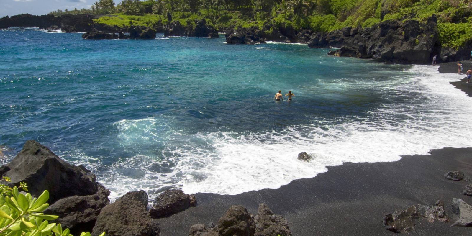
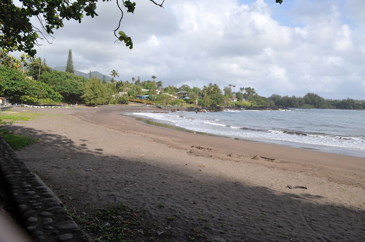
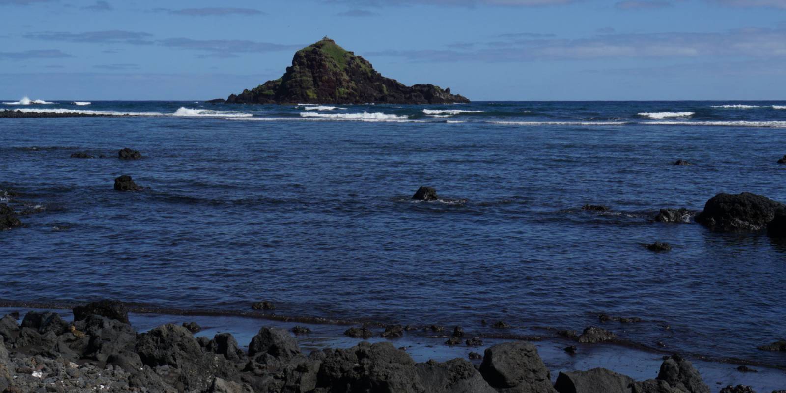
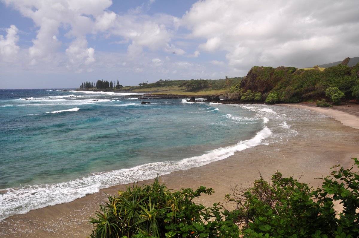
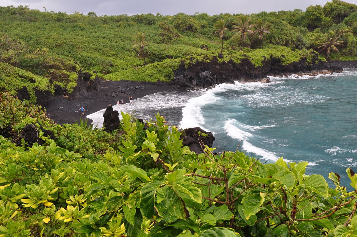
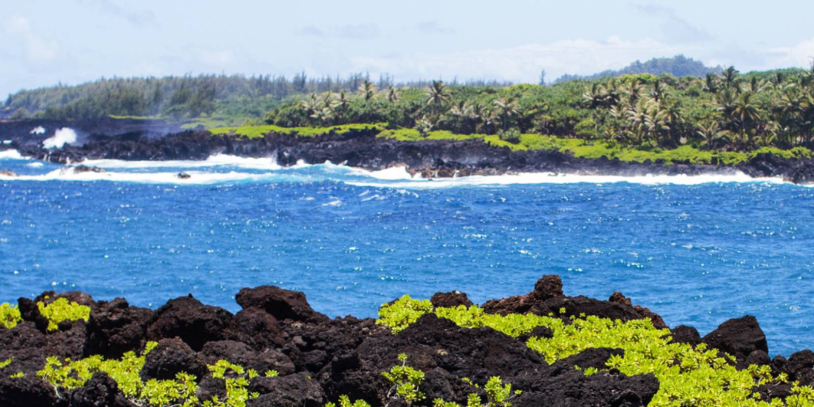
This 3-mile trail follows the coastline from just north of Hana Bay to beyond Waianapanapa State Park. The trail begins in Kainalimu Bay and follows the jagged lava coastline along the Hawaiian "King's Highway."
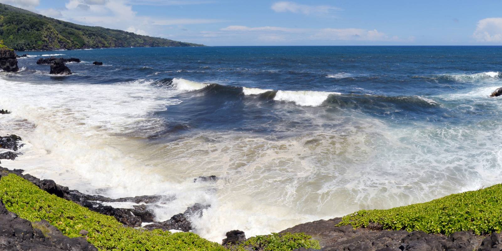
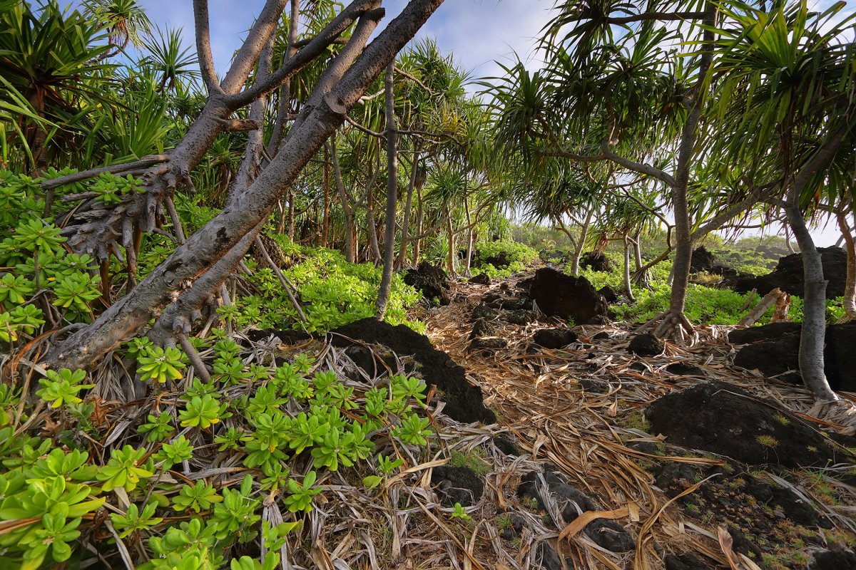
This trail is still visible in places where smooth stepping stones were set into the rough lava and cinders. The coastline is ruggedly scenic with black lava jutting into the deep blue ocean. Looking inland one will get a sweeping view of Hana Forest Reserve with its densely vegetated cinder cones. About 2.0 miles down the coast lies Wai'anapanapa State Park. Here there are 12 cabins for rental, picnic tables, showers, and restroom facilities.
Trail day tools
Before you drive to the trailhead, check the trail and weather layer.
Hawaii hikes can change quickly with closures, rain, mud, heat, and daylight.
New Reservation Systems & parking fees for visitors
Reservations for all visiting tourists and commercial vehicles will be required for entry to Maui's Waianapanapa State Park as of March 1, 2021.
For visitors, reservations can be made up to 30 days in advance, and no same-day reservations are available.
Parking fees for out-of-state visitors will be $10; while walk-ins, bicyclists, or visitor drop-offs will be a $5 entry fee per person. Prices are higher for commercial vehicles.
This park is also accessible by road from the Hana Highway. The trail continues past the park around Pukaulua Point nearly to Hana Airport. There is usually a breeze blowing in off the ocean with frequent showers. The trail is in fair shape and easy to follow, but boots are recommended because of the sharp lava. The coastline is excellent for pole fishing. About half way between Waianapanapa and Hana a heiau (Hawaiian temple site) has been cleared of vegetation and provides an interesting stopping point. Camping is permitted with a permit from the state.
Founder & certified Hawai'i travel expert with 20+ years in Hawai'i tourism, University of South Carolina climate-research training, and NOAA weather-station experience.
Breezy trade winds are in place with windward and inland showers expected tonight and early morning through Monday. South-facing beaches have high surf through Saturday evening—avoid them if rough water concerns you. East-facing shores will see building swell Sunday as Tropical Storm Fausto approaches. Tuesday and Wednesday the storm moves in with heavy rain, gusty winds, and rough seas on the windward side. Forecasters are still narrowing down the exact track, so check updates this weekend. By Thursday normal trades return.
Leeward beaches work through Monday if you stay clear of the high surf. Plan indoor activities or protected bays for Tuesday and Wednesday when the storm passes through.
0:000:52
Voice
Read the transcript
Trade winds are bringing showers to the windward side and inland areas, mostly at night and early morning through Monday. South-facing beaches have high surf through Saturday—avoid them if you're not comfortable in rough water.
Tropical Storm Fausto arrives Tuesday and brings heavy rain, gusty winds, and rough surf on east-facing shores through Wednesday. The storm is moving fast, so rain won't linger in one spot for days. Forecasters are still narrowing the track, so watch for updates this weekend. Impacts could shift depending on whether it passes north or south of the islands.
Leeward beaches work through Monday if you avoid the high surf. Plan indoor activities or protected bays for Tuesday and Wednesday when Fausto moves through.
0:000:66
Voice
Read the transcript
Right now you've got breezy trade winds with showers mainly at night and early morning on the windward and inland sides. Conditions stay stable through Monday with the same pattern—showers mostly after dark, trades during the day.
High surf is running through Saturday at 6 PM on south-facing beaches. Starting Sunday, east-facing shores will see advisory-level surf building as Tropical Storm Fausto approaches from the southeast. Tuesday and Wednesday the storm moves near the islands with heavy rain and gusty winds on the windward side. It's moving fast at 15 miles per hour, so rain won't sit in one spot for days, but forecasters are still refining the track—updates this weekend will clarify the exact impacts.
Stick with leeward beaches through Monday if you're comfortable in the current surf. For Tuesday and Wednesday, plan indoor activities or protected bays on the lee side while the heavy rain and wind move through.
0:000:48
Voice
Read the transcript
Breezy trade winds this morning with scattered showers on the windward side and inland—mostly at night and early morning. South-facing beaches have high surf through Saturday; skip them if rough water makes you nervous.
Tropical Storm Fausto moves near the islands Tuesday through Wednesday with heavy rain, gusty winds, and rough surf on the east-facing shores. The storm's moving fast, so rain won't linger in one spot. The exact impacts depend on whether it tracks north or south—forecasters are still pinning down the track, so check updates this weekend.
Plan leeward beaches or protected bays through Monday. Once the trades return to normal Thursday onward, conditions settle back to typical.
Created with AI from the official NWS forecast discussion · verify with NWS before heading out