

 Been here? Tap to stamp
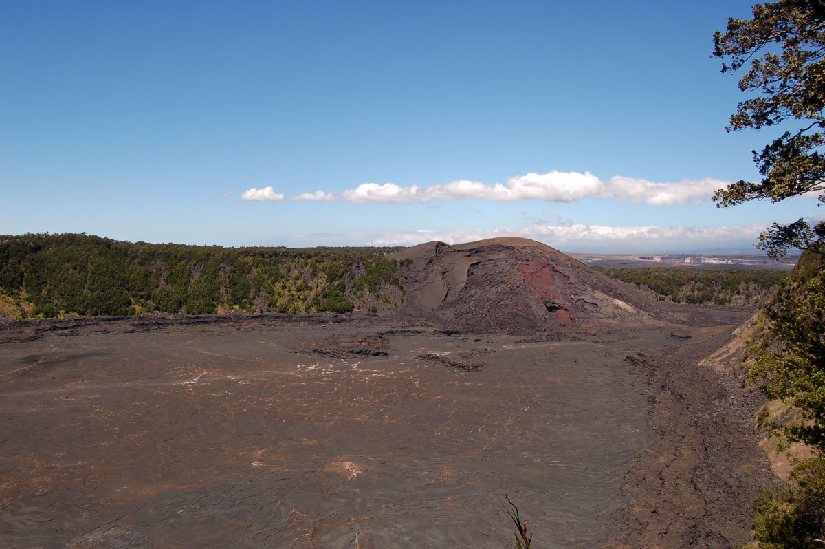
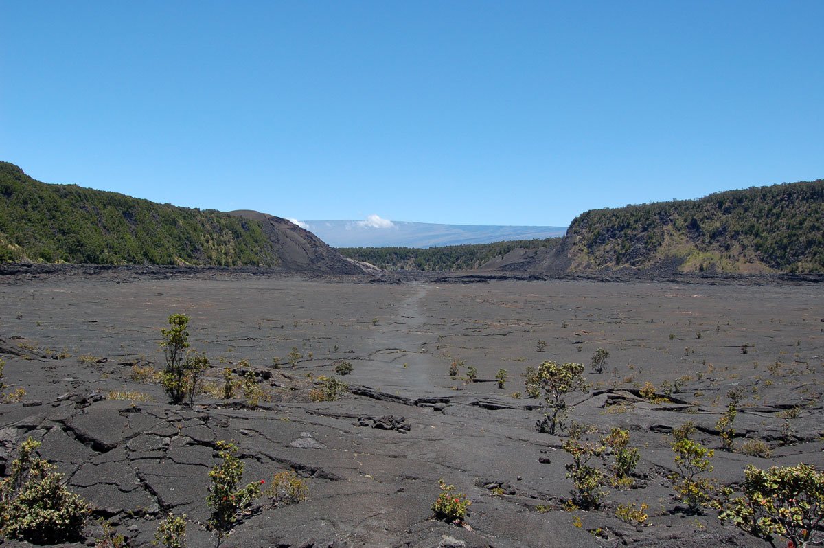
As you stand at the Kilauea Iki overlook you can see a lightly-etched trail stretching across the crater floor. From your 400 ft high vantage point you might be able to see little specks walking the path: those are people! The views of Pu'u Puai (gushing hill), a cinder cone that formed during the 1959 eruption at Kilauea Iki Crater, are also great from this vantage point.
From Kīlauea Iki Overlook, NPS lists a 3.3-mile loop and recommends allowing 2–3 hours. Other trailheads mean different walking distances; confirm your route and current access before choosing an alternate parking area. The loop skirts the rim of the crater, dips down and across the floor and back up to the overlook. Follow the NPS map and posted trail signs when choosing your direction around the loop. We prefer starting with the rim rainforest before descending.
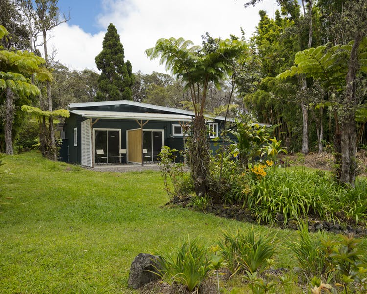
The portion of Crater Rim Trail that runs along the rim is a dense high-elevation jungle populated with flowering ohia trees and graceful ferns. If you are not in a hurry, take a few minutes to gaze overhead and you may catch a glimpse of the apapane. They are one of the most common Hawaii forest birds, but their deep red feathers and black beaks make them a beautiful sight. The apapane loves to flit from ohia blossom to ohia blossom drinking its nectar. Gaps in the jungle cover reveal breathtaking views of the black crater floor, a stark contrast to the thriving forest.
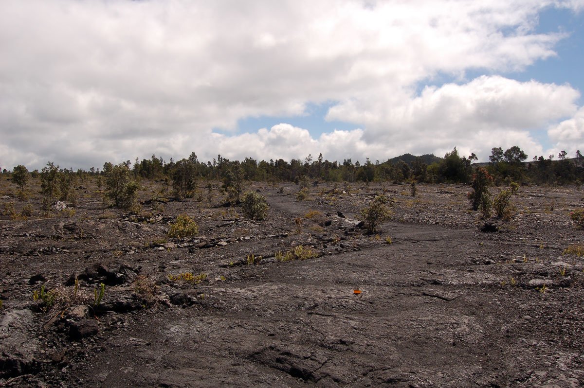
The trail descends into the crater with a mixture of stairs and steep terrain. Make sure you have applied plenty of sunblock because the sun seems much more intense on the exposed floor. Once you have reached the bottom a whole new alien landscape envelopes you. Along the cliffs you can see a high water mark or literally a lava ring in the crater. The old lava lake is now solid, though the rock beneath its surface remains hot. Steam forms when rainwater reaches that hot rock and vaporizes. Keep clear of steaming cracks: NPS warns that the steam can be scalding.
Follow posted trail signs back toward your chosen trailhead or the Kīlauea Iki overlook. Do not plan the visitor-center approach through the Halemaʻumaʻu/Byron Ledge caldera connection without current NPS confirmation. For a longer approach, confirm the current Crater Rim Trail route and trailhead access with NPS before hiking. The overlook is located on Crater Rim Drive inside Hawaii Volcanoes National Park.