
Big Island Hiking Trail
Hamakua Coast
Waimanu camping is closed because of an impassable landslide past Helipad 1. DLNR says Waipiʻo Valley Access Road is the only access to the Muliwai trailhead and is closed to all pedestrian use.
Do not walk down from the lookout or plan a Waimanu camping trip while these restrictions remain in effect. Check DLNR’s current notice before making plans. Read DLNR’s Waimanu camping and access notice.
Muliwai Trail geography
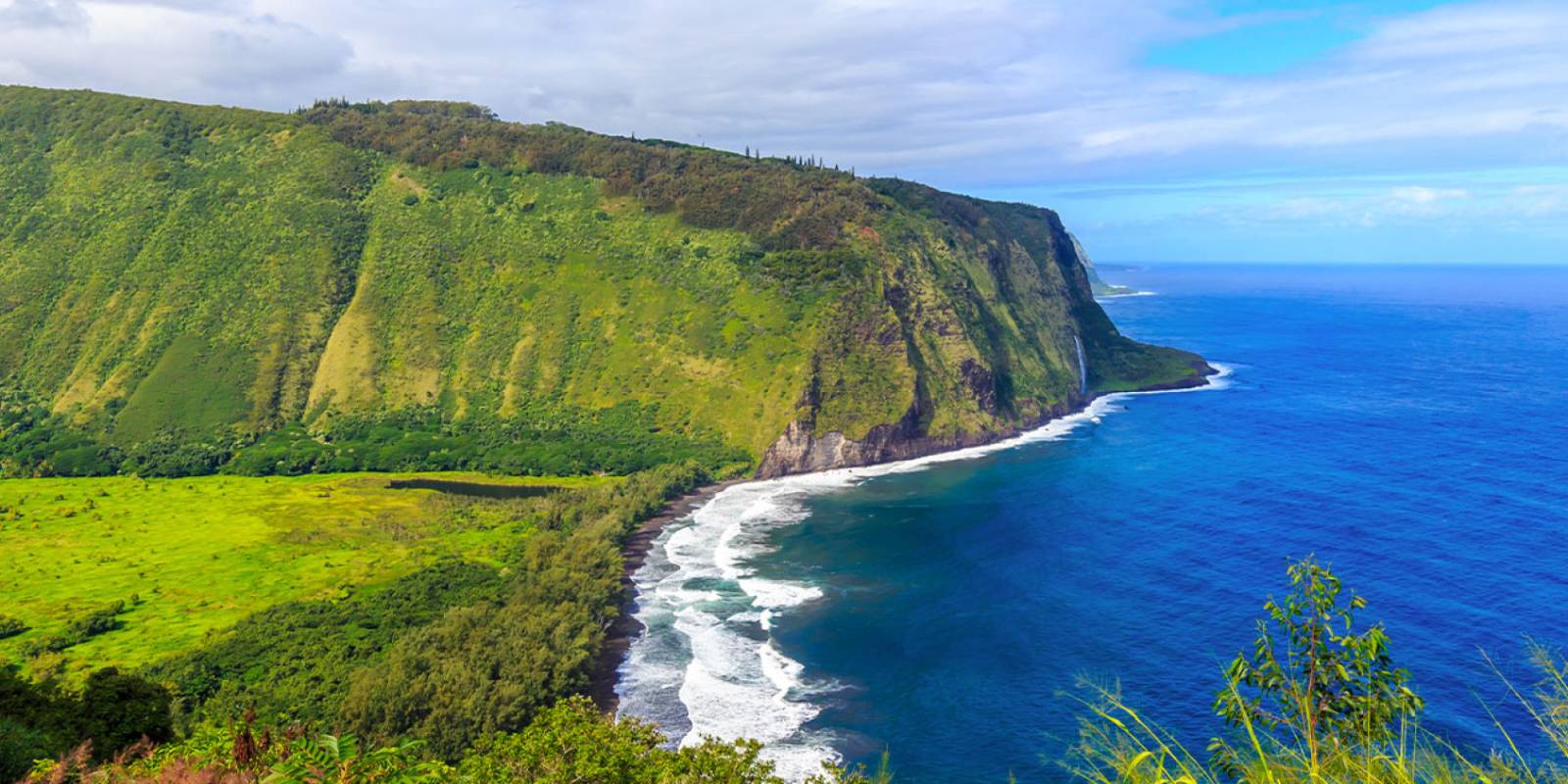
The Muliwai Trail climbs the western wall of Waipiʻo Valley and continues to Waimanu Valley. DLNR lists the trail as 7.6 miles one way, or 15.2 miles round trip from the trailhead. The trailhead is across Waipiʻo Valley from the lookout; this is not a short rim walk from the parking area.
Plan around the closure
Do not use an old route description, map or camping reservation link as permission to pass a closure. For a sightseeing stop, consider the Waipiʻo Valley lookout and follow posted controls.
Other Big Island Recommendations
Get Your Free Big Island Guide
Instant access — opens immediately
- Beaches, activities & top spots
- Restaurant & dining recommendations
- Maps, itineraries & insider tips
Want the full offline version? Get the Complete Big Island Guidebook →