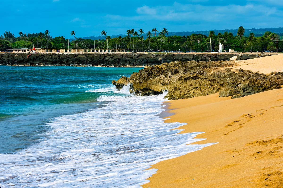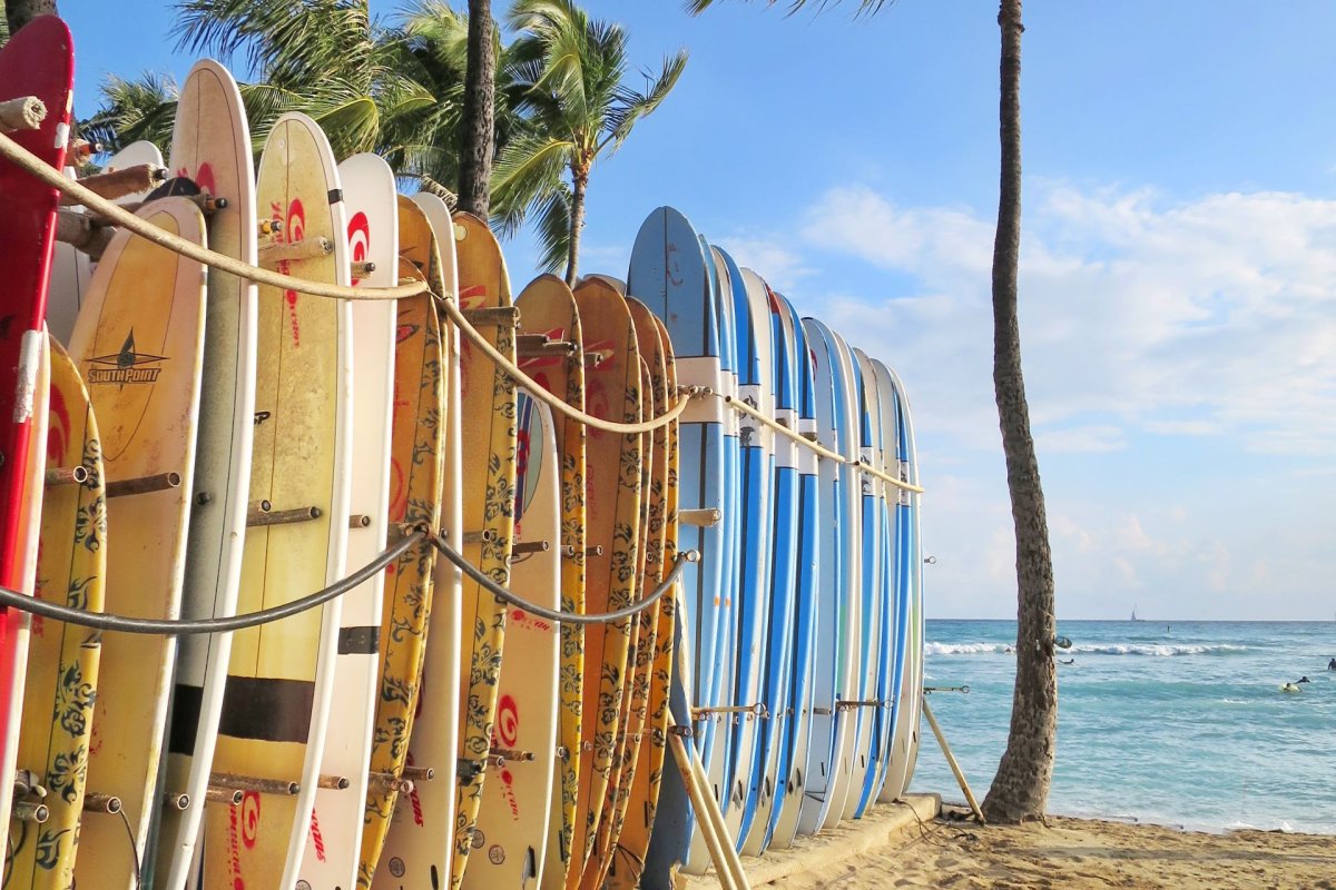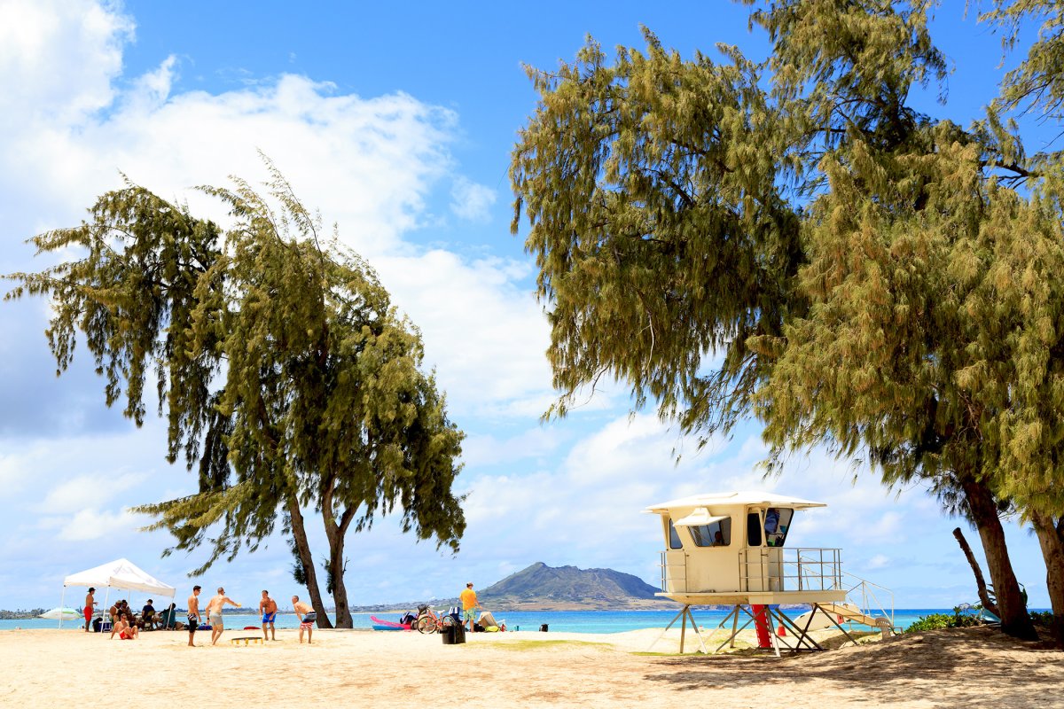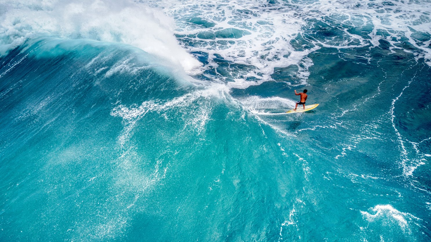


The North Shore’s winter surf window runs November through April. That six-month stretch changes which beaches are safe to swim, which roads back up at sunset, which lineup is firing on any given day, and where to point the camera if you want one good big-wave photo from the trip. Get the timing right and the season becomes part of why you came. Get it wrong and you’ll end up at the wrong beach on the wrong day. (Hawai’i Ocean Safety — Hawai’i’s Surf Seasons) The rest of the year, this coast is the quiet version of itself: empty sand, soft summer surf, kids in the shore break at Sunset Beach, snorkelers at Sharks Cove, and honu napping at Laniakea. Then the calendar flips, the swell direction shifts, and the same coastline runs a different show. North Pacific storms start pushing energy south. By November, Pipeline can be breaking and north-facing beaches can become spectator territory instead of swim stops. Use this as the seasonal overview, whether or not you plan to surf a single wave yourself. For the season’s bigger weather picture, including what a strong El Niño means for rain and trades through the coming winter, see our El Niño winter guide.
When the North Shore actually wakes up
Hawai’i Ocean Safety defines the winter ocean season as November through April, when north and west shores can see extremely high, dangerous surf from North Pacific storms. October is the shoulder month: still often mellow at protected breaks, but no longer something to treat like summer. By November, the first serious pulses can arrive. By December, the season is usually in full gear. (Hawai’i Ocean Safety — Hawai’i’s Surf Seasons, NWS Honolulu — daily surf forecast) The variable that matters most is swell direction. North-facing breaks like Pipeline, Sunset Beach, and Waimea Bay light up on north and north-northwest swells. West-facing breaks like Laniakea and Hale’iwa Ali’i can fire on the same storm or stay tame depending on the angle. NWS Honolulu’s daily surf forecast divides the islands into compass-direction shores precisely because the same storm can produce enormous surf at Waimea and knee-high dribble a few miles west at Hale’iwa on the same morning. What you cannot plan more than a week or two out is the size of any specific swell. North Pacific storms form on their own schedule, and what is a 25-foot day at Pipeline one December can be a flat day on the same date the next year. What you can plan around is the seasonal window itself, the safety shift it creates, and the contest holding periods that may land inside it. If your trip overlaps that window, the chance of seeing the North Shore at full volume goes up a lot.
The three breaks visitors should actually know
Three named breaks carry most of the season’s reputation, and each has a different personality. Banzai Pipeline, off Ehukai Beach Park, is the wave that defines North Shore surfing in the public imagination. It’s a fast, shallow reef barrel: the takeoff is vertical, the reef is close to the surface, and when a north or northwest swell hits the right tide the wave throws a clean, thick tube right in front of the beach. Visitors can watch from the sand directly in front of the break — the lineup is right there, close enough that you can hear the boards on the wave face. The same closeness that makes Pipeline a magnet for photographers makes it dangerous for anyone in the water without skill. Shore-break injuries, neck injuries, and drownings happen here every season, and the wash from a big set can drag adults off their feet well up the sand. If you’re not a competent surfer, stay on the sand. Ehukai Beach Park has a parking lot, restrooms, and a lifeguard tower, and the sand lines up with the wave for photos and watching. (City and County of Honolulu — Ehukai Beach Park) Sunset Beach, about two miles up Kamehameha Highway, is the long-distance counterpart. The break is further offshore and the wave is heavier and slower-breaking than Pipeline. Sunset handles enormous size on the biggest contestable days and is famous for its inside section, where waves close out the channel and pull surfers into the rocks at the east end. The shore break here is what makes the headlines: a heavy, dumping shorepound with real injury potential for anyone standing too close. Sunset Beach Park is the right place to watch from a safe distance on a big day, but the closer you get to the shore break, the higher the risk gets. Waimea Bay is the legend. The spot Eddie Aikau is remembered for, and the only place where the Eddie Aikau Big Wave Invitational ever runs. (The Eddie Aikau Big Wave Invitational — Official Site) The bay is a deep, half-moon cove with a single peak that stays quiet most of the year and starts showing its big-wave face once Hawaiian-scale swells push into the 15- to 20-foot range. (Surfline — Mechanics of Waimea Bay) Most days of the year, including small-swell winter days, Waimea is calm enough to swim in. On those days, families snorkel and jump from the rock on the east side. On a true Eddie-size day, the bay closes out across its full mouth and the rock disappears under whitewater. The shift between those two states can happen in 24 hours. (City and County of Honolulu — Waimea Bay Beach Park)
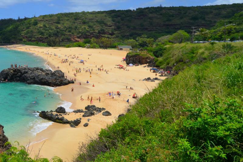
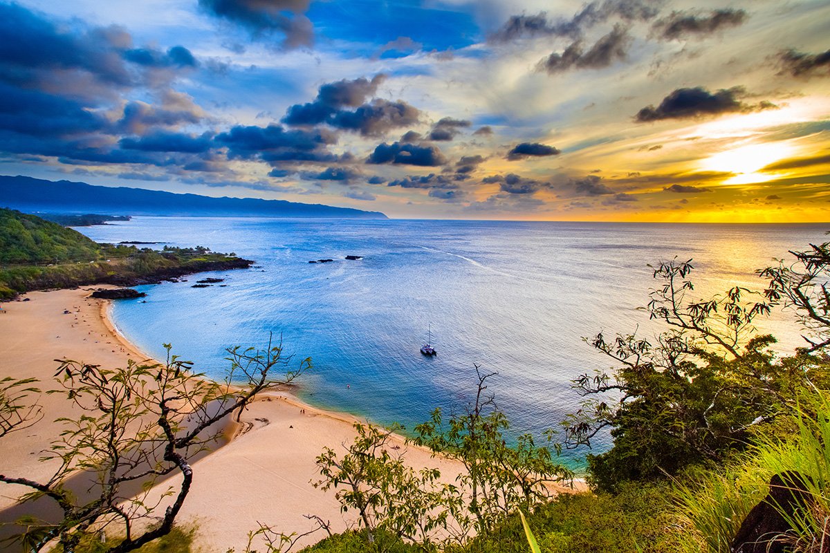
Waimea Bay on a typical day. On a true Eddie-size swell, the entire bay closes out from edge to edge.
Contest season without chasing fixed dates
North Shore contests are useful planning markers, but they are not fixed-date spectacles in the way a mainland football game is. Most operate on a holding period: a multi-day or multi-week window during which organizers wait for the right swell, wind, tide, and safety setup. A contest can be called on with short notice, postponed through several lay days, or skipped entirely if the ocean never lines up. The World Surf League calendar is the source of truth for Championship Tour and Qualifying Series events, and its Oahu listings can change as the season develops. If a WSL Pipeline event overlaps your trip, expect the Ehukai/Pipeline corridor to get crowded quickly once the event call goes live. Parking on Kamehameha Highway becomes difficult, and driving the seven-mile stretch from Hale’iwa to Sunset can take far longer than the map suggests. (World Surf League — Events) The old Vans Triple Crown name still carries weight on the North Shore, but the event has been through multiple format and sponsor changes over the years. Don’t rely on old blog posts or a remembered event name. Check the current WSL events calendar for what’s actually running this winter. The Eddie Aikau Big Wave Invitational is the rarest and most culturally important of the big-wave events. Held at Waimea Bay and named for legendary Hawaiian lifeguard Eddie Aikau, “the Eddie” only runs when the organizers see a full day of Waimea faces at roughly 40 feet — the equivalent of 20-foot Hawaiian scale — during the holding period. In many years, the contest does not run at all. When it does, the entire North Shore stops and watches. (The Eddie Aikau Big Wave Invitational — About) For contest-specific parking, traffic, and day-of viewing advice, use our North Shore big-wave contest season guide. This page is the seasonal safety and planning overview; the contest guide is the one to use when you are choosing whether to drive up for a specific event call.
Where to safely watch
Watching the North Shore on a big day is a singular Oahu experience. It’s also genuinely dangerous if you don’t pay attention to where you stand. A few practical notes from years of doing this: Pipeline (Ehukai Beach Park). Park early. The lot fills before dawn on a big day, and the Kamehameha Highway pullouts fill not long after. Walk to the sand and stay well back from the high-water line — the wash from a Pipeline set can run far up the beach without warning. On contest days, lifeguards and event staff mark off danger zones with lines or flags. Follow whatever the guards on the beach that morning are telling you to do. Sunset Beach Park. The grassy area above the sand at the west end of the beach gives you a clean view of the takeoff zone without putting you in the wash zone. Bring a folding chair. The contest support trucks and broadcast units park along the highway behind the beach on event days, which means the foot-traffic crowd is much heavier than at Pipeline. Waimea Bay overlook. The pullout on the makai (ocean) side of Kamehameha Highway just east of the bay, at the entrance to the Pu’uomahuka Heiau road, gives the best wide-angle view of the bay in full closeout. You’re well above sea level and looking down at the whole arena. It’s the right vantage on the very biggest days when the bay is too dangerous to approach from the sand. Don’t try to swim or snorkel on big days, anywhere on the North Shore. Drowning risk is the reason this guidance is blunt. If lifeguards clear the water, or if a high-surf advisory is up for north-facing shores, treat the beach as a viewing area, not a swimming stop. Sharks Cove, Three Tables, and Pupukea Beach Park are all fine summer snorkel sites and dangerous winter ones. The state DLNR specifically warns that winter surf and currents in the Pūpūkea Marine Life Conservation District can be extremely dangerous. (DLNR — Pūpūkea Marine Life Conservation District) Save them for a calmer day, or save them for summer.
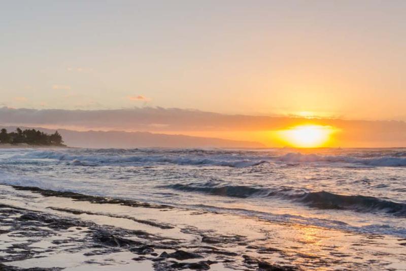
Sunset Beach is the long-distance counterpart to Pipeline. Heavier, slower, and capable of handling almost any size the North Pacific can produce.
How to plan an Oahu trip around the season
A few patterns are worth knowing if you’re booking a fall or winter trip with the surf season in mind. Treat these as planning opinion, not promises — the North Pacific writes its own script. November is the sleeper month, in my experience. Early-season swells have usually started, the headline contests haven’t peaked yet, and the holidays haven’t pushed Waikiki prices to their winter top. If you want a shot at seeing the North Shore working without paying the peak-season premium, early to mid-November is often the sweet spot — call it editorial judgment based on years of watching the calendar, not a guarantee. Our analysis of post-Labor Day hotel rates walks through the broader fall pricing pattern. December and early January are peak. Big swells are most reliable in this window (NWS Honolulu — Surf Seasonality), all three contest holding periods overlap, and Christmas/New Year is one of the busiest visitor stretches of the year on Oahu. Rooms in Waikiki are scarce and expensive. If you’re targeting these weeks, book early. February quiets down on tourism but stays loud on swells. Visitor numbers tend to drop after the holidays while the North Pacific stays active. The Eddie has also shown why the calendar has to stay flexible: the contest can sit out for years, then run on short notice when Waimea finally reaches the threshold. If you’re flexible on timing, late winter is still a strong pick, but the ocean gets the final vote. Stay south, drive north. Most visitors who want to see the North Shore on a big day stay in Waikiki, Kahala, or Ko Olina and drive up for the day. The North Shore has its own lodging — led by The Ritz-Carlton O’ahu, Turtle Bay, the former Turtle Bay Resort — plus a scatter of vacation rentals, but availability tightens during contest weeks, so book well ahead if that’s the plan. In my experience, the Waikiki-to-North-Shore drive runs roughly an hour each way outside of rush hour, but it can stretch well past that on a contest day, on a Saturday, or if you leave Waikiki after the H-1/H-2 morning crush. Plan to leave early. A rental car is the practical choice for North Shore days. TheBus Route 60 does reach the North Shore along Kamehameha Highway, but between the transfer through town and the surface-street routing, it’s not a reasonable option for someone trying to be on the sand at Pipeline before sunrise. Discount Hawaii Car Rental is our affiliate partner; their quoted Hawaii rates include the General Excise Tax and customer facility charge, so the online price is what you actually pay at the counter. (Discount Hawaii Car Rental FAQ) Compare against the airport counters before you book. Want to surf yourself? Pick a beginner break, not the North Shore. Even on small days, the North Shore lineup at Pipeline, Sunset, and Waimea is the wrong room for visitors learning to surf. Our piece on surf lessons for beginners in Hawai’i covers which schools and breaks are the right starting point. On Oahu specifically, that means Waikiki in winter or the south shore on a flat day. Trying to learn on the North Shore in winter is how visitors get hurt.
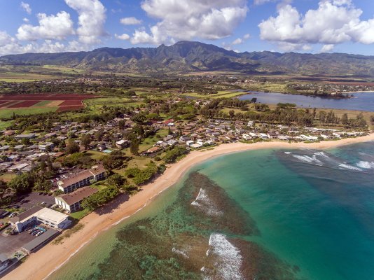
Hale'iwa town anchors the western end of the North Shore. The harbor is the boat-charter base; the town is the lunch stop between Pipeline and Waimea.
The forecasting tools the locals actually use
Four sources cover the North Shore winter-surf bases. NWS Honolulu’s daily surf forecast is the official starting point. It posts twice a day with forecast heights in feet across all the major shore directions and the advisory and warning thresholds that drive lifeguard staffing and beach closures. When NWS calls high surf on the north-facing shores, treat it as a signal to move away from the water at unguarded beaches and to listen closely to the guards at the ones that are staffed. PacIOOS — the Pacific Islands Ocean Observing System, based at SOEST at the University of Hawai’i at Mānoa — publishes wave-model output and real-time buoy data for the islands. The Waimea Bay buoy (CDIP 106 / NDBC 51201) sits offshore of the bay and reads what’s actually hitting the North Shore right now. The deep-water Northwest Hawai’i buoy (NDBC 51001), stationed northwest of Kauai, picks up North Pacific swells hours before they reach the coast — the closest thing to an early warning for what’s on the way. PacIOOS data also feeds the “Surf Today” pill on every beach page on this site, so you can check the spot you’re heading to directly. Surfline is the surfer-facing read of the same data. Break-by-break forecasts, swell direction analysis, and live webcams at most of the named North Shore lineups. The Pipeline cam lets you watch the conditions in real time before you decide whether to make the drive up. The premium tier is paywalled, but the free tier covers most of what visitors need to know the day before. Hawaii Guide’s Ocean Report is the visitor-friendly layer. It pulls the official forecast into a simpler island-by-island view, flags advisory-level surf, and points you toward safer shore directions when a North Shore day is better spent watching from sand than entering the water. The variables that matter are swell direction, period, and size. Long-period swells (16 seconds or more) produce big, organized waves that break cleanly at the named breaks. Short-period swells (under 10 seconds) produce windy, choppy surf that doesn’t translate well at the famous spots. When the forecast shows a 14-foot north swell at 16 seconds, the call is to be at Pipeline at first light.
What to do on the flat days
Even in peak winter, the North Pacific takes breaks. A week of big surf is often followed by a few days of calm before the next pulse. On those days, the North Shore is the version most visitors first picture — quieter, sunnier, easier. Plan for both faces of the season. Hale’iwa town is the right anchor on a flat day. Matsumoto’s, open in Hale’iwa since 1951, is the shave ice stand that built the line-out-the-door reputation. (Matsumoto Shave Ice — About) The art galleries, the surf shops, and the food trucks along Kamehameha Highway are all walkable from the harbor. Lunch options range from poke bowls at Hale’iwa Joe’s to mac salad plates at Kua Aina Sandwich. Laniakea Beach, on the west side of Hale’iwa, is a well-known green sea turtle haul-out spot. Volunteers from Mālama na Honu mark off a safe viewing area on the sand when turtles come up to rest. NOAA Fisheries asks viewers to keep at least 10 feet from honu; the volunteers will walk you through the rules. (NOAA Fisheries — Marine Wildlife Viewing in Hawai’i) Waimea Valley, the cultural and botanical site inland from the bay, is the right rainy-day pivot. The paved path to Waimea Falls runs three-quarters of a mile each way and walks through restored Hawaiian cultural sites and a botanical collection I’d send anyone on the island to see. (Waimea Valley — Hike) Our Waimea Valley page covers admission, hours, and what to expect. Sunset cliffs. The west-facing pullouts between Hale’iwa and Ka’ena Point look straight into the Pacific with almost no obstruction, which makes them the easiest place on the North Shore to catch the sun dropping into the horizon. On a flat-surf evening, this stretch is the right place to end the day with a takeout dinner from town.
The bottom line
The North Shore’s winter surf season is the main event, not any single contest. If you’re booking an Oahu trip for late 2026 or early 2027, timing matters more than chasing a specific date. Any week between mid-November and mid-March has a real chance of putting you on the sand for a day the North Pacific picked, not a day a marketing department picked. Get up early, drive up from Waikiki before the traffic builds, watch one swell from a safe distance, eat shave ice in Hale’iwa, and let the day decide which break is firing. The North Shore will take care of the rest.