



Before you travel to Kauaʻi
Live observations
Live Hawaii Satellite & Radar
Satellite imagery shows cloud cover and motion across the island chain; radar shows recent precipitation. Use the official outlook and advisories—not imagery alone—to identify tropical threats.

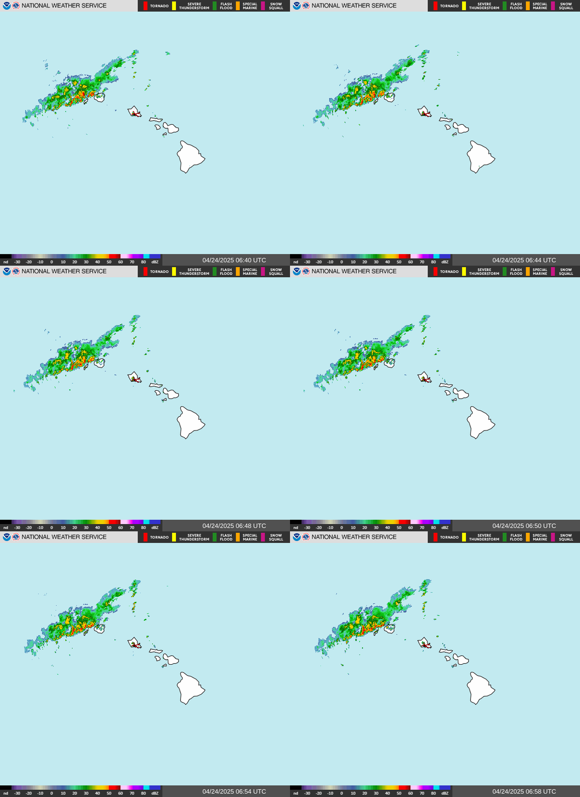
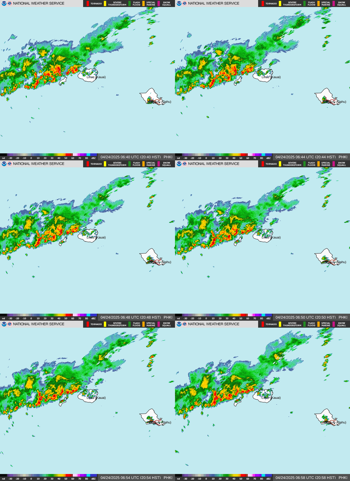
Sources: NOAA/NESDIS GOES-West, the NHC satellite directory, and NOAA/National Weather Service radar. Reload for the newest frames. For historical context, compare Lowell with past storms near Hawaiʻi.
Historical context: Lowell’s preliminary center track remains in our interactive Hawaiʻi storm-history map. A center track does not show the extent of damage or where services have returned. Use the recovery guidance above for current travel decisions.
Official Hawaii storm sources
- Central Pacific Hurricane Center for current tropical cyclone advisories and outlooks.
- NWS Honolulu for Hawaii watches, warnings, surf forecasts, and local forecast discussions.
- Hawaiʻi Emergency Management Agency for statewide preparedness information and links to county emergency managers.
- Hawaii Department of Transportation for current roadway, airport, and commercial-port status.
For weather enthusiasts: Tropical Tidbits’ Central Pacific GFS model viewer visualizes one numerical model’s sea-level pressure and precipitation guidance. It can help you watch how model scenarios change between runs, but it is not an official forecast and individual runs can change substantially. Use CPHC/NHC forecasts, watches, and warnings—not this viewer—to make safety or travel decisions.
Get Your Free Hawai'i Guide
Instant access — opens immediately
- Beaches, activities & top spots
- Restaurant & dining recommendations
- Maps, itineraries & insider tips
Want the full offline version? Get the Complete Hawai'i Guidebook →
If a watch or warning is issued
A watch means tropical storm or hurricane conditions are possible; a warning means they are expected. Read the official NHC definitions, then follow county emergency managers and instructions from your lodging provider and airline.
Do not drive, hike, boat, or enter the ocean to watch worsening conditions. Hawaii hazards can develop before a storm center reaches its closest point.
Additional Resources
Information disclaimer: Tropical cyclone forecasts can change with every advisory. HawaiiGuide summarizes official information for visitor planning, but NOAA, NWS Honolulu, and county emergency officials are the authorities for forecasts and protective instructions. Check the Central Pacific Hurricane Center before making a weather-sensitive travel decision.




