

Big Island Drive Times
If you're visiting the Big Island, the single most important thing to understand before you plan a day is the sheer scale of the place. It's larger than all the other Hawaiian Islands combined, and the drive times between its big-name destinations are longer than almost every first-time visitor expects. Kona to Hilo is not a quick hop — it's a genuine cross-island journey.
Below we've chosen a beginning point (the Kona side, where most visitors stay) OR a destination (Hilo, Volcanoes National Park, Waimea, Waipio), with how long you can expect each drive to take and basic directions. These estimates assume normal daytime conditions; add time for stops, weather on the higher routes, and the occasional slow stretch behind a truck on a two-lane highway.
Big Island Map Packet
Our high-resolution Big Island of Hawaii map includes most major attractions, all major routes, both airports, and a chart with estimated Big Island driving times.
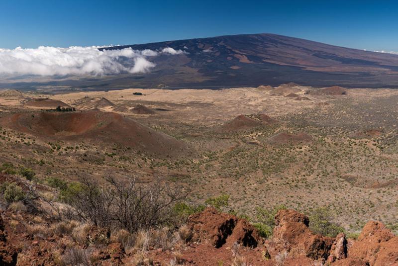
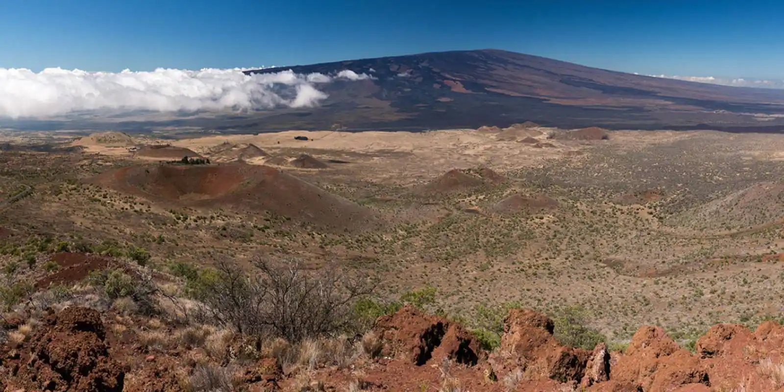
Saddle Road, between Mauna Kea and Mauna Loa
Get Your Free Big Island Guide
Instant access — opens immediately
- Beaches, activities & top spots
- Restaurant & dining recommendations
- Maps, itineraries & insider tips
Want the full offline version? Get the Complete Big Island Guidebook →
Starting Point: Kona Side (KOA Airport & Kailua-Kona)
Most Big Island visitors fly into Ellison Onizuka Kona International Airport (KOA) on the island's dry west coast. The airport sits just north of Kailua-Kona town, about 7 miles down Queen Kaahumanu Highway (Highway 19). That short hop is your first drive; everything else from this side is measured in tens of miles, not single digits.
Destination: Kailua-Kona town
Time Estimate: Approximately 10 to 15 minutes (about 7 miles).
Directions: From KOA, turn south (left) onto Queen Kaahumanu Highway (Highway 19). Follow it into Kailua-Kona, where it becomes Kuakini Highway / Alii Drive near the waterfront. Most Kona hotels and condos are along or just off Alii Drive.
Destination: Waimea & Hapuna Beach (Kohala Coast)
Time Estimate: Hapuna Beach is roughly 45 minutes (about 32 miles); Waimea town is about 1 hour (40 miles).
Directions: From Kona, take Queen Kaahumanu Highway (Highway 19) NORTH along the Kohala Coast. Hapuna Beach State Park is a signed turnoff on the left (makai) near the resorts. To continue to Waimea, stay on Highway 19 as it climbs inland (mauka) into ranch country.
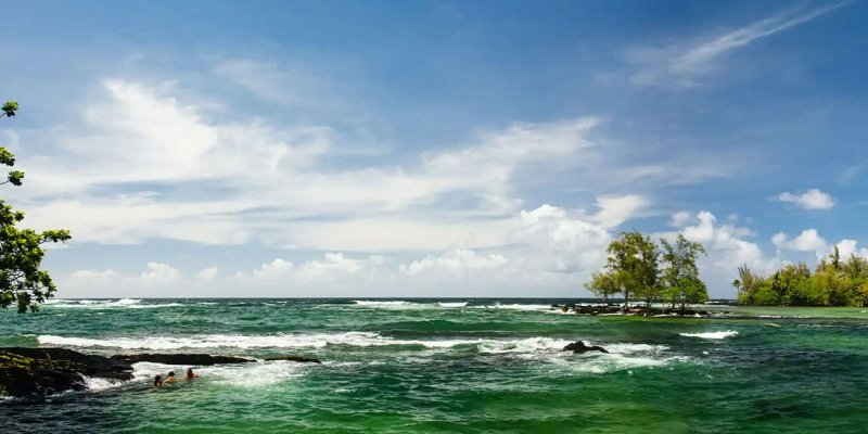
Hilo, on the east coast
Destination: Hilo (from Kona)
Crossing from Kona to Hilo is the classic Big Island question, and there are two very different answers. The Saddle Road (now Daniel K. Inouye Highway, Highway 200) cuts straight across the island between Mauna Kea and Mauna Loa and is by far the faster route. The southern coastal route on Highway 11 is much longer but lets you pair the drive with Volcanoes National Park.
A note on Saddle Road: the highway has been fully modernized and is a smooth, well-engineered two-lane road today — but it climbs to about 6,500 feet, weather can roll in fast, and there are long stretches with no services. Some rental-car contracts historically discouraged it; most major companies now allow it, but always check your specific agreement. Fuel up before you go either way.
ROUTE: Saddle Road (faster)
Time Estimate: Approximately 1.5 to 2 hours (about 75 miles).
Directions: From Kona, take Highway 190 (Mamalahoa Highway) NORTHEAST up toward Waimea, then turn onto Saddle Road / Highway 200 (Daniel K. Inouye Highway) and follow it EAST across the island. Highway 200 descends directly into Hilo. This is the quickest cross-island connection.
ROUTE: Southern coast via Highway 11 (scenic)
Time Estimate: Approximately 2.5 to 3 hours as a straight drive (about 125 miles).
Directions: From Kona, take Highway 11 (Hawaii Belt Road) SOUTH through Captain Cook, Naalehu, and Hawaii's southernmost reaches, then up past Hawaii Volcanoes National Park and on into Hilo. It's the long way around, but it strings together the south Kona coffee belt, the park, and the volcano in one drive.
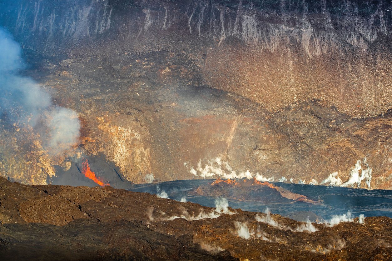
Hawaii Volcanoes National Park
Destination: Hawaii Volcanoes National Park
Hawaii Volcanoes National Park is the island's marquee attraction, and where you're staying changes the day dramatically. From Hilo it's an easy half-day; from Kona it's a long haul that's best treated as a full day or paired with an overnight on the Hilo side. There is an entrance fee to the park — check the current fees and reservation guide before you go.
STARTING POINT: Hilo
Time Estimate: Approximately 45 minutes (about 30 miles).
Directions: From Hilo, take Highway 11 (Hawaii Belt Road) SOUTH/WEST. The park entrance is on the right near mile marker 28, just past the village of Volcano. This is the easiest approach to the park by far.
STARTING POINT: Kona
Time Estimate: Approximately 2 to 2.5 hours (about 95 miles) via the southern route.
Directions: From Kona, take Highway 11 SOUTH through Captain Cook and around the south end of the island past Naalehu. Continue northeast on Highway 11 to the park entrance, which will be on your left just before the village of Volcano. Because it's so far, many Kona-based visitors make this an early start or build it into a one-way loop using Saddle Road on the return.
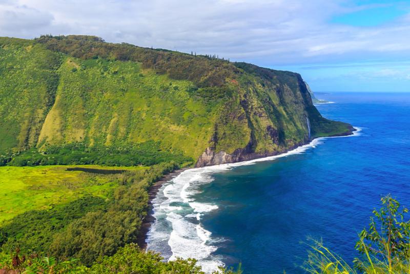
Waipio Valley Overlook
Destination: Waipio Valley (Hamakua Coast)
The Waipio Valley overlook on the lush Hamakua Coast is one of the island's most photographed viewpoints. Note that the steep road down into the valley itself is restricted and (at times) closed to non-residents, and it requires 4WD low range even when open — most visitors enjoy the valley from the overlook. The drive up the Hamakua Coast from Hilo is scenic in its own right.
STARTING POINT: Hilo
Time Estimate: Approximately 1 hour 15 minutes (about 50 miles) to the overlook.
Directions: From Hilo, take Highway 19 (Hawaii Belt Road) NORTH up the Hamakua Coast to Honokaa. In Honokaa, turn onto Highway 240 and follow it to its end at the Waipio Valley Lookout.
STARTING POINT: Kona / Waimea
Time Estimate: Approximately 1 hour 30 minutes from Kona (about 65 miles); roughly 45 minutes from Waimea.
Directions: From Kona, take Highway 19 NORTH to Waimea, then continue EAST on Highway 19 toward Honokaa. In Honokaa, turn onto Highway 240 and follow it to its end at the Waipio Valley Lookout.
A Word on the Restricted Roads
A few Big Island "destinations" aren't reachable in a standard rental car, and rental contracts spell this out. The summit road above the Mauna Kea Visitor Information Station requires 4WD low range and is off-limits to most rental vehicles past the ranger checkpoint. The 4WD track out to Papakolea (Green Sand) Beach and the rough access road at South Point (Ka Lae) will also void most rental agreements if you drive them — park and walk, or book a guided operator instead. When in doubt, read your contract.



