

 Been here? Tap to stamp
Big Island of Hawaii Must See & Do
Hawaii Volcanoes National Park
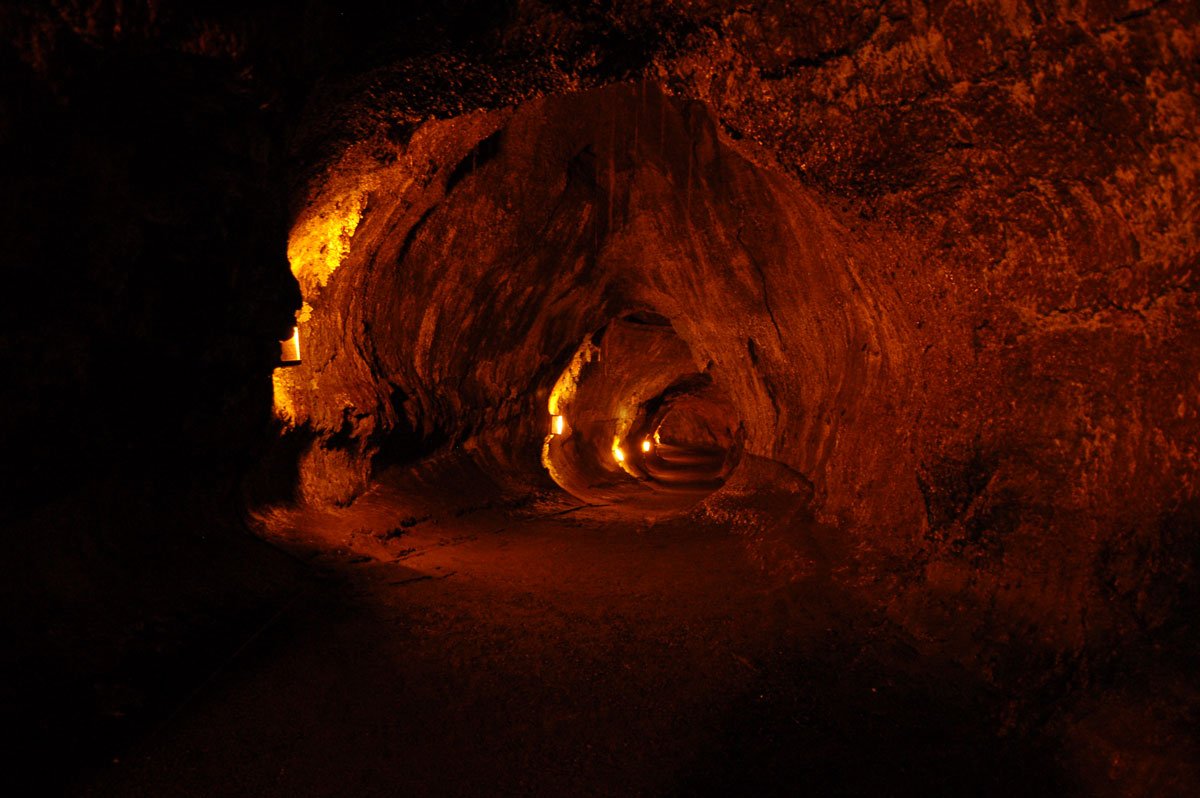
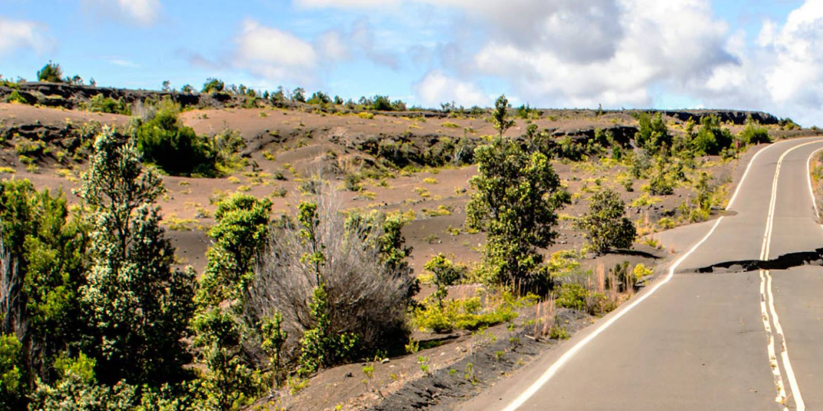
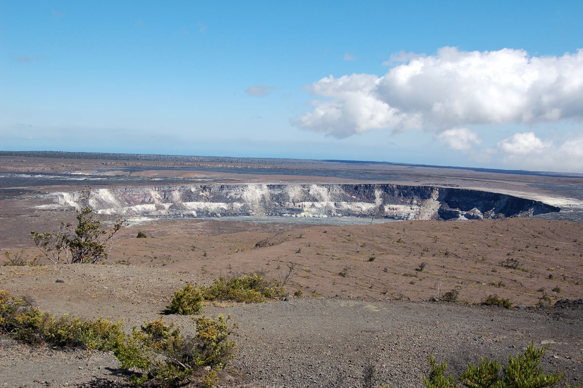
Chain of Craters Road may be one of the unique experiences you have on the Big Island. Stretching roughly 19 miles and going from 3,700 ft. elevation to sea level, this scenic drive along the East Rift Zone of the volcano in HVNP is pockmarked with craters of varying shapes and sizes, lava flows, petroglyphs, and, possibly, active lava.
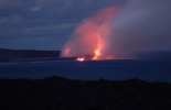
Along this road, you will also find many interesting hikes, breathtaking vistas, and when she's actively erupting, the opportunity to see Madame Pele (the Hawaiian goddess of fire and volcanoes) do what she does best.
Book Tours & Activities on Big Island
Free cancellation on most tours. Real pricing and verified traveler reviews.
Check Availability & Pricing Browse all Big Island tours
The Chain of Craters Road
To reach Chain of Craters Road from the entrance to the park take a left onto Crater Rim Drive just after you pass the gate. Follow Crater Rim Drive for three miles until you reach Devastation Trail. Chain of Craters Road will be on the left directly across from the Devastation Trail parking lot. It is important that you reset your car odometer as all the mile markers in our guide are based on the true mileage and not the park mile markers which can sometimes be inaccurate.
If your ultimate goal is night time lava watching (applicable only when active flows are present), you may want to start out on Chain of Craters several hours before sunset in order to reach the end of the road with enough time to get out to the lava before dark. Add extra time if you plan on doing any of the hikes along the road.
Get Your Free Big Island Guide
Instant access — opens immediately
- Beaches, activities & top spots
- Restaurant & dining recommendations
- Maps, itineraries & insider tips
Want the full offline version? Get the Complete Big Island Guidebook →
Mile Marker .02 1974 Lava Tree and Keanakakoi Crater Hike Mile Marker 0.4 Lua Manu Crater
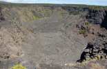
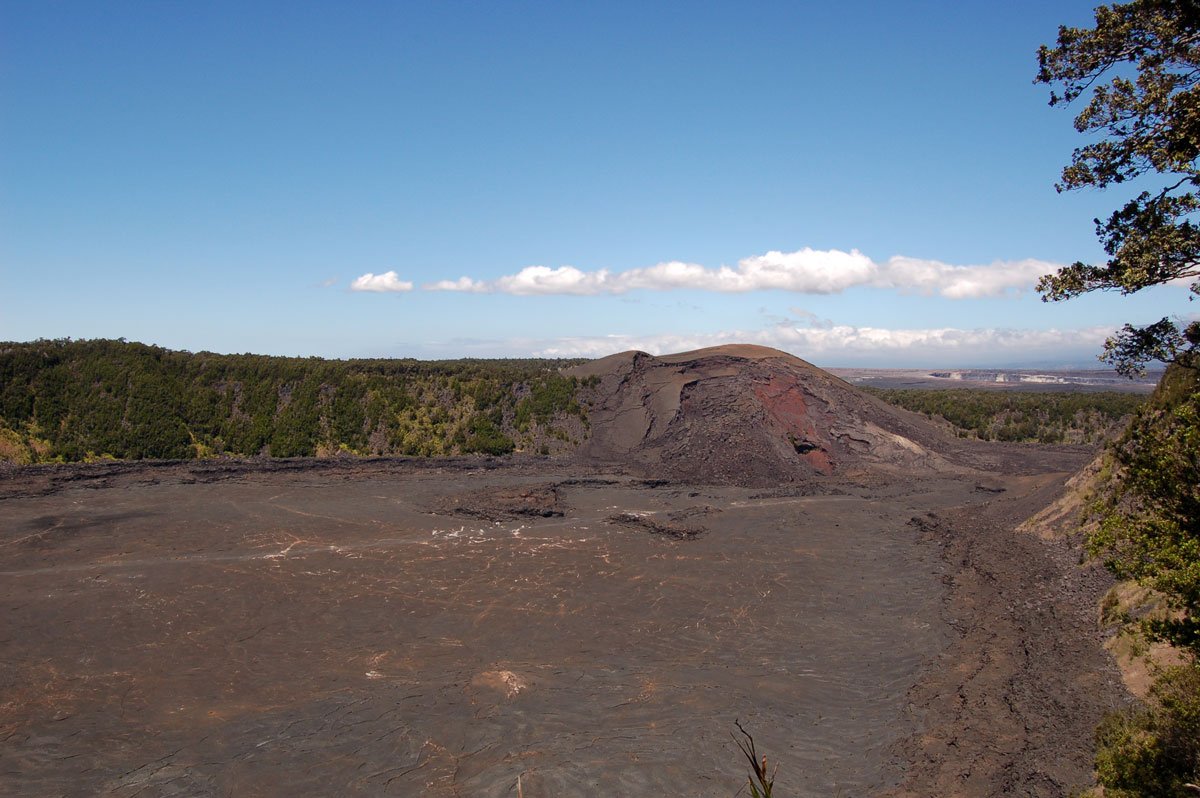
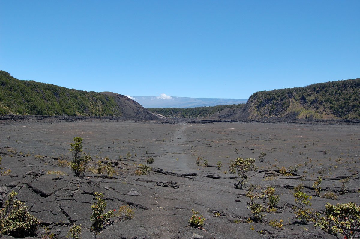
The first of several marked craters along this road, Lua Manu will be on your right. Lua Manu is a pit crater that is formed when magma below the earth's surface drains, causing the earth to collapse. The 1974 flow sent lava pouring into Lua Manu's basin, which is about 100 meters (330 feet) across. Further down the road at 0.9 you will see a small pullout on the left which leads to another pit crater, Puhimau Crater.
Mile Marker 1.3 Thermal Hotspot Mile Marker 1.5 Ko'oko'olau Crater
Ko'oko'olau is different from the other pit craters we have seen on this road because it has not seen lava in over 200 years. Now, ohia and koa trees and other vegetation have filled the area.

Mile Marker 2 Hilina Pali Road
The current NPS alert schedules shoulder work beyond Maunaiki Trailhead from September 14 through November 19. Motor vehicles cannot pass the trailhead from 6 a.m. to 4:30 p.m. Monday through Thursday, but the full road opens outside work hours, including weekends and holidays. Hikers, bicyclists, and backcountry permit holders retain access during work but should expect delays. When open to vehicles, the nine-mile trip down narrow Hilina Pali Road may not offer much in the way of gorgeous scenery. However, the breathtaking views at the end are worth the effort if you have the time. The paved road leads you past the vegetation of Chain of Craters Road into the arid, scrubby environment of the Ka'u Desert. Camp Kulanaokuaiki is about four miles down Hilina Pali Road, before the eight-mile point-to-point Maunaiki Trail and the former Kipuka Nene Campground. The road continues to twist and turn over the bumpy and rutted pavement until you finally reach the Hilina Pali Lookout - this could take as long as half an hour. The lookout boasts a covered picnic pavilion and a pit toilet. You can walk a hundred yards down the trail to an extraordinary view of the pali (cliff in Hawaiian). With the strong winds whipping around you and the expanse of land in front, it seems like the end of the world - a wild and beautiful place. It was also the site of a disaster in 1975 when a powerful earthquake shook portions of the pali free. The collapse caused a tsunami that killed two campers at Halape camp on the coast. There is a small plaque in their memory. The return trip is easy, simply go back to where you came from being mindful of oncoming traffic trying to share the portions of a one-lane road.
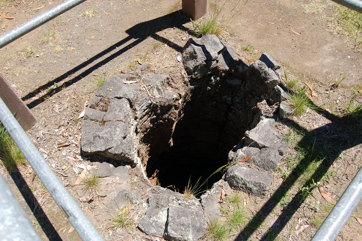
Mile Marker 2.2 Devil's Throat
Just after you turn back onto Chain of Craters Road, look for a small pullout on the right. Park and walk across the road to a dirt path. The path leads about 50 feet to the edge of a sheer cliff which drops off into the abyss. This massive 150 ft. wide by 165 ft. deep crater is called Devil's Throat, and one can imagine why. There are no guard rails to block you so please step carefully around the crumbling edges of the pit. Further down the road at mile marker 2.5 is Hi'iaka Crater with Pauahi Crater following at 3.1. Pauahi is roughly 1,600 feet long, and a boardwalk is provided for a better view.
Mile Marker 3.6 Mauna Ulu and Napau Crater Trail
After passing Pauahi Crater, look for a spur road to the left. Follow it about half a mile to a parking lot with a restroom and the Nāpau Trailhead. The first leg, a little over a mile, crosses jagged ʻaʻā and smooth pāhoehoe from the 1969–1974 Maunaulu eruption before climbing forested Puʻu Huluhulu. From the Maunaulu parking area, the route to Nāpau Crater is 6.2 miles one way. This is a remote backcountry hike with no drinking water along the trail. Check current NPS conditions, obtain any required backcountry permit, and carry adequate water before continuing beyond Puʻu Huluhulu.
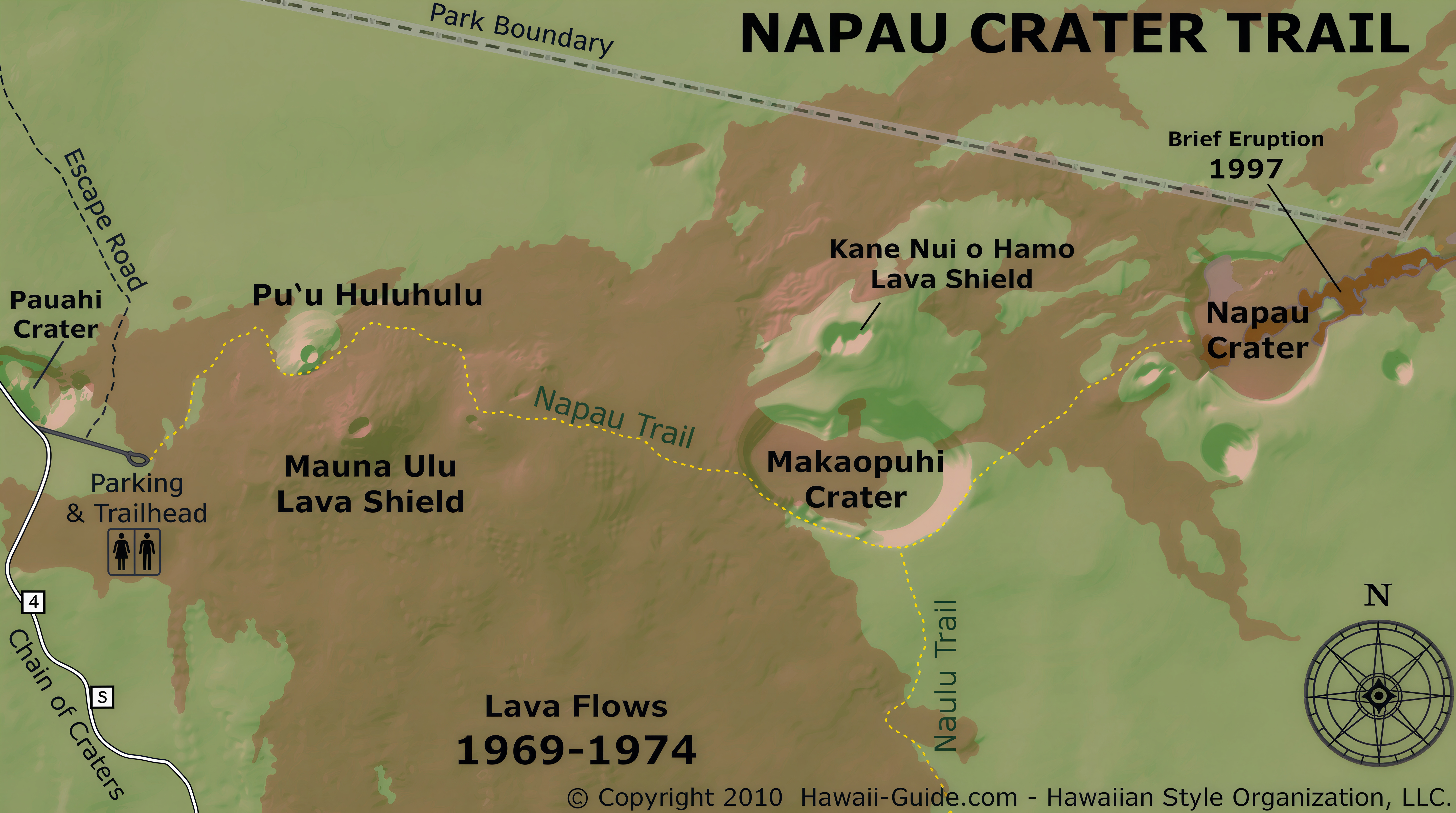 Open the Nāpau Crater Trail map
Napau Crater Trail
Mile Marker 6.2 Mau Loa O Mauna Ulu
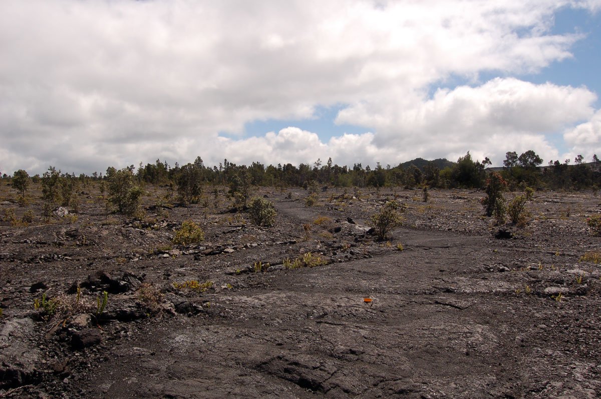
From the pullout, you can see a sprawling black sea of pahoehoe lava, which originated from the 1969-1974 eruption of Mauna Ulu. The Keauhou Trail begins here and continues eight miles to the Keauhou Camp on the coast.
Mile Marker 9.6 Kealakomo
As you approach the ten-mile marker, a wooden hut perched on the side of the cliff will come into view - an odd site for sure. The handicapped-accessible Kealakomo pavilion sits on the Hōlei Pali above the coastal plain. It overlooks the former Kealakomo village area, which Maunaulu lava flows buried between 1969 and 1974. The covered picnic tables may look inviting, but this spot can be quite windy, perhaps a better place to lose your lunch than eat it. The Nāulu Trail begins across the street and eventually connects with the Nāpau Crater Trail to the north.
Mile Marker 10.2 to near 16: various lookouts
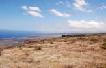
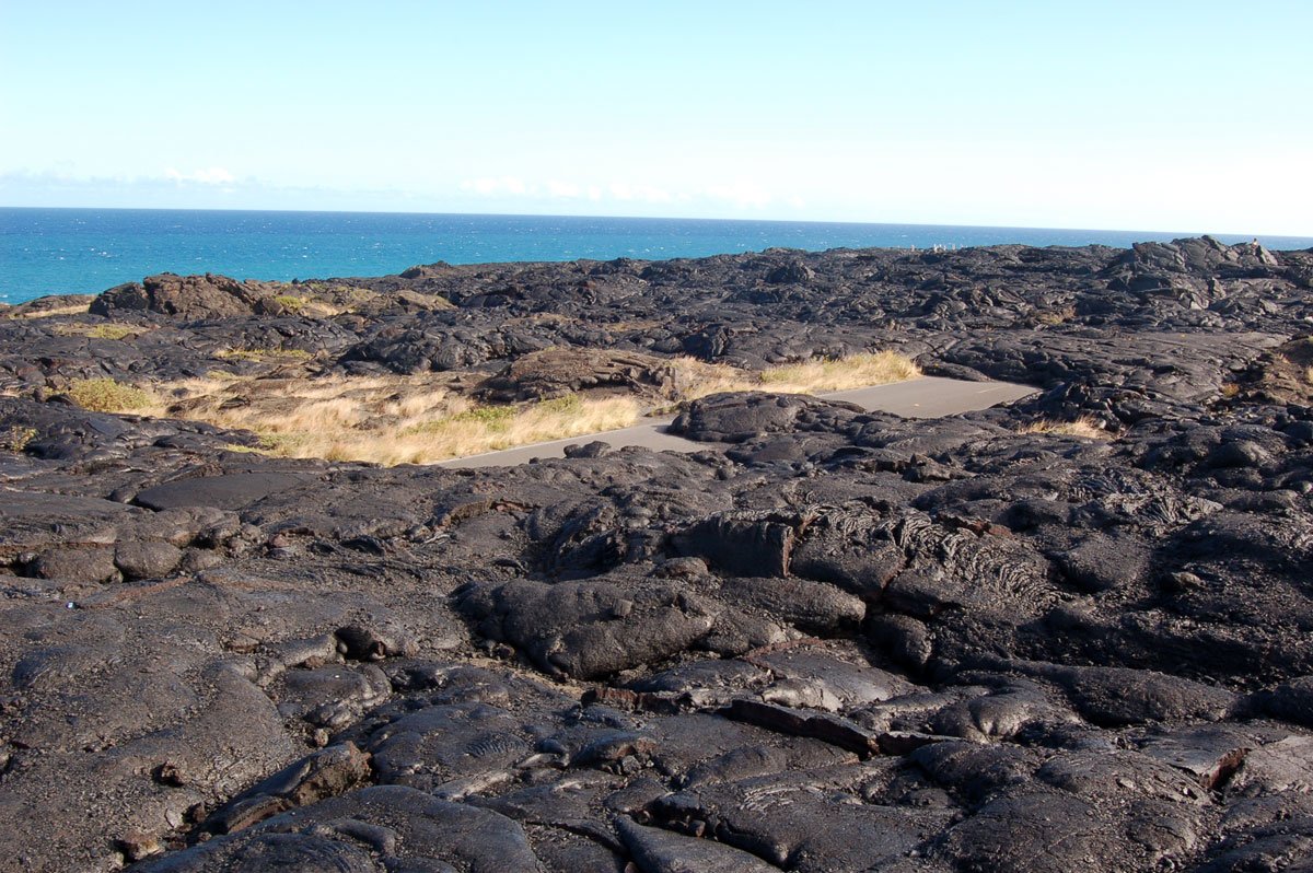
If you are itching for another opportunity to view the coast, pull over at the Halona Kahakai pullout at mile marker 10.2. Near mile marker 11.5, the road takes a dramatic hairpin turn, which you should approach with caution. In another mile, the elevation will have dropped to about 1,000 ft as you rapidly approach the coast. Building a road on an active volcano is a practice in patience, as evidenced by the Alanui Kahiko pullout at mile marker 13.7. The pullout marks the location of the old Chain of Craters Road, which Maunaulu eruption flows covered between 1969 and 1974. You can still see sections of pavement peeking out from underneath the lava. At the Hōlei Pali lookout farther down the road, the broad lava flows descending toward the coastal plain show the scale of the eruption.

Near Mile Marker 16.5: Pu'u Loa Petroglyph Field
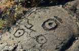
Pu'u Loa is one of Hawaiʻi's most extensive petroglyph fields, with approximately 23,000 images recorded by NPS. Near mile marker 16.5, pullouts and a small park sign mark the start of the 1.4-mile round-trip trail. Allow about one to one and a half hours. The walk crosses an ancient field of rolling lava to a boardwalk that protects the fragile carvings while allowing visitors to view them. Piko holes, small cup-like depressions associated with hopes for a child's long life, are among the most common features. Do not touch the carvings, make rubbings, or leave the boardwalk. The exposed lava can be hot, uneven, windy, or wet; bring water and sun or rain protection.

End of Chain of Craters Road: Hōlei Sea Arch
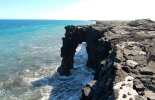
In a park where the main attraction is an ever-changing force of nature, there is no telling how the landscape could change. During the Puʻuʻōʻō eruption, lava repeatedly covered lower portions of the former Chain of Craters Road. Today the road ends at a coastal turnaround with parking and pit toilets. Beyond the gate, follow the marked route to a view of Hōlei Sea Arch, a roughly 90-foot-high lava formation created as surf undercut the coastal cliff.
The end of the road
There are no active flows at the end of Chain of Craters Road at this time.
Currently, the park allows visitors to walk the mile down Chain of Craters Road to where the older lava begins. If you plan on hiking beyond where the lava meets the road, please take a few precautions. Bring plenty of water, approximately three quarts for the entire hike. Carry rain gear, sunblock, and flashlights. The temperature drops with the sun, so carry a lightweight jacket or sweatshirt just in case.
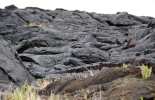
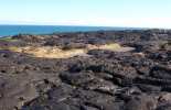
The lava fields are a sight to behold and, for those capable of the hike, a must. Hiking across lava may include unsure footing, jagged rock, and high winds, but the payoff is amazing. The flows stretch in front of you like a massive black ocean glittering in the sun. The lava has created waves and valleys of varying degrees. You can see where the pahoehoe lava has created interesting swirls and ropey patters. The landscape is punctuated by raised hills where gases escaped. To get an idea of how deep this ocean is, you will pass several road signs that were nearly buried by recent flows.
Remember, though, never venture out onto the lava bench nearest to the ocean. This land is very unstable and prone to collapse without warning. Some foolish people have not heeded this warning and paid for it with their lives.
If you are fortunate enough to be here on a clear night, look up. With the only lights being what you are holding in your hand, stargazing is phenomenal.