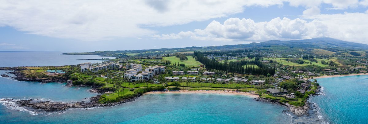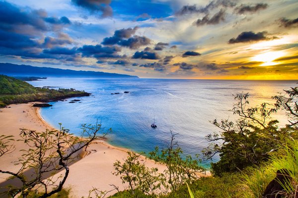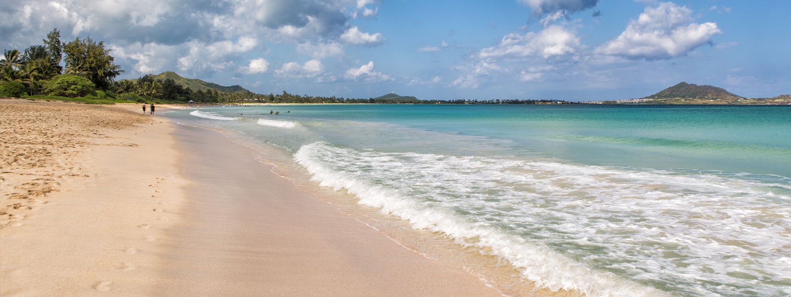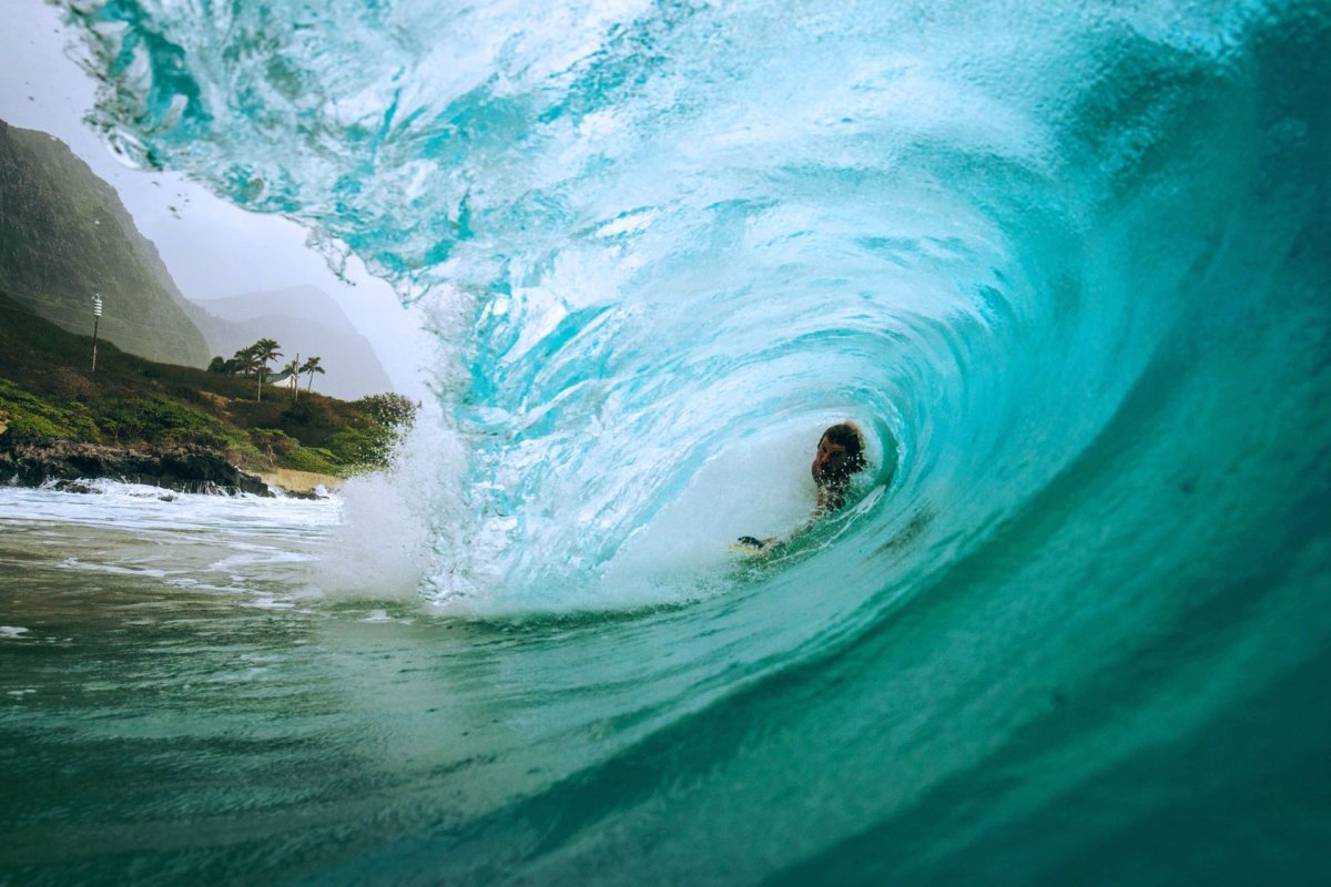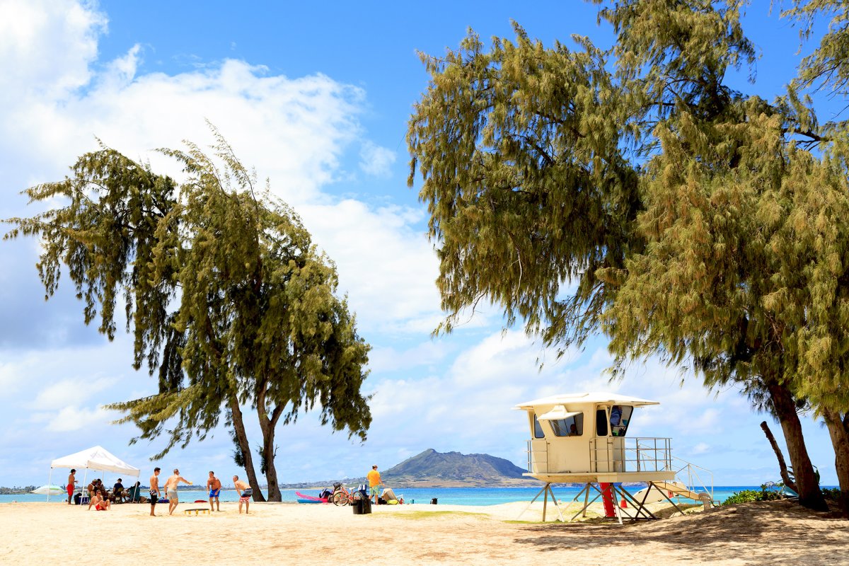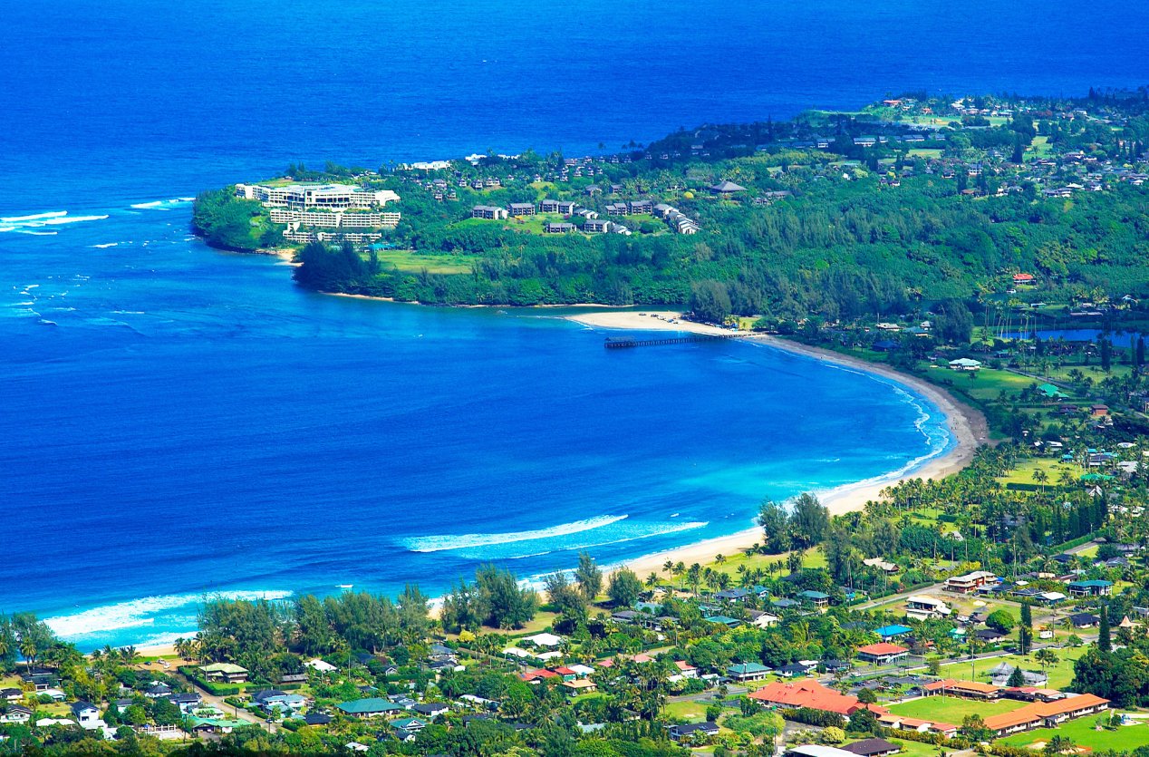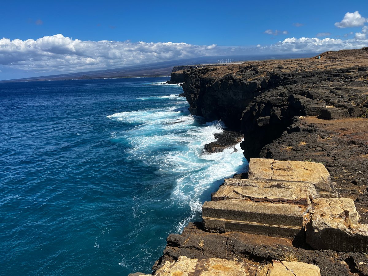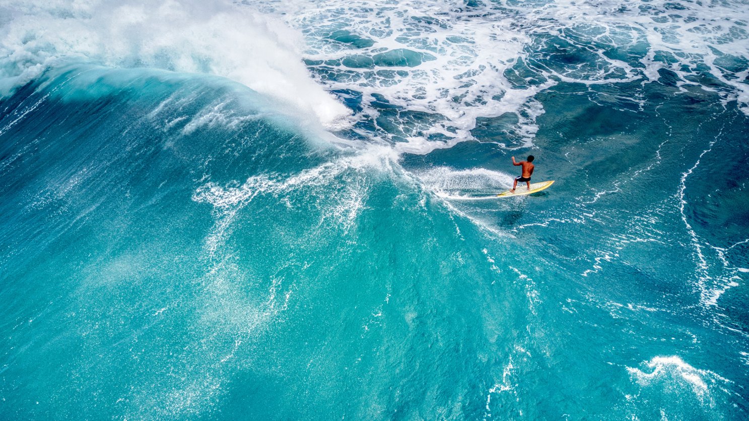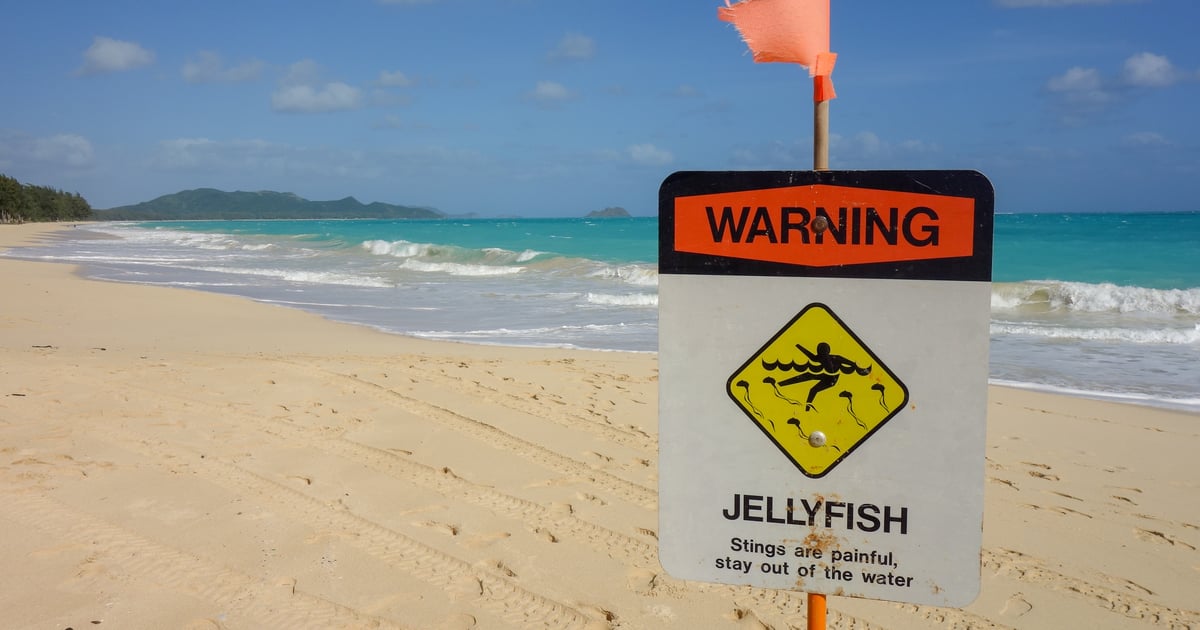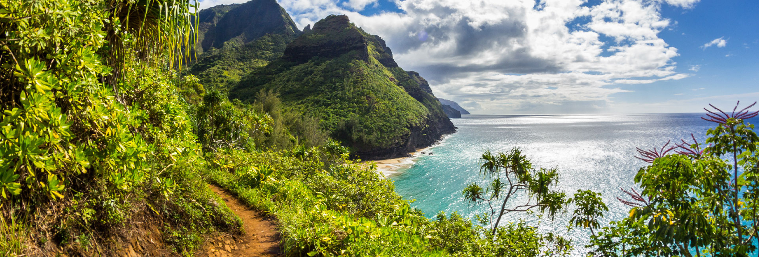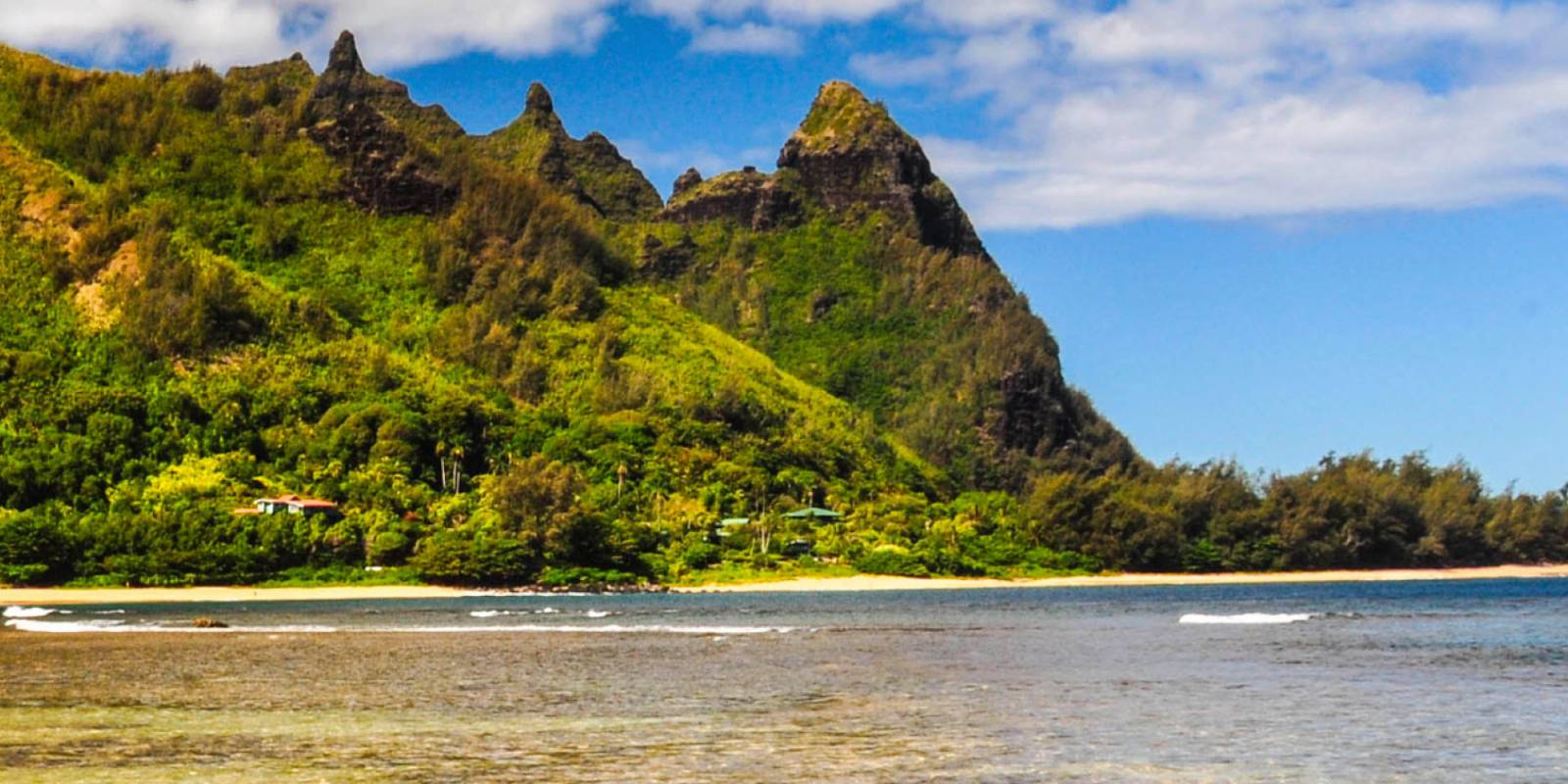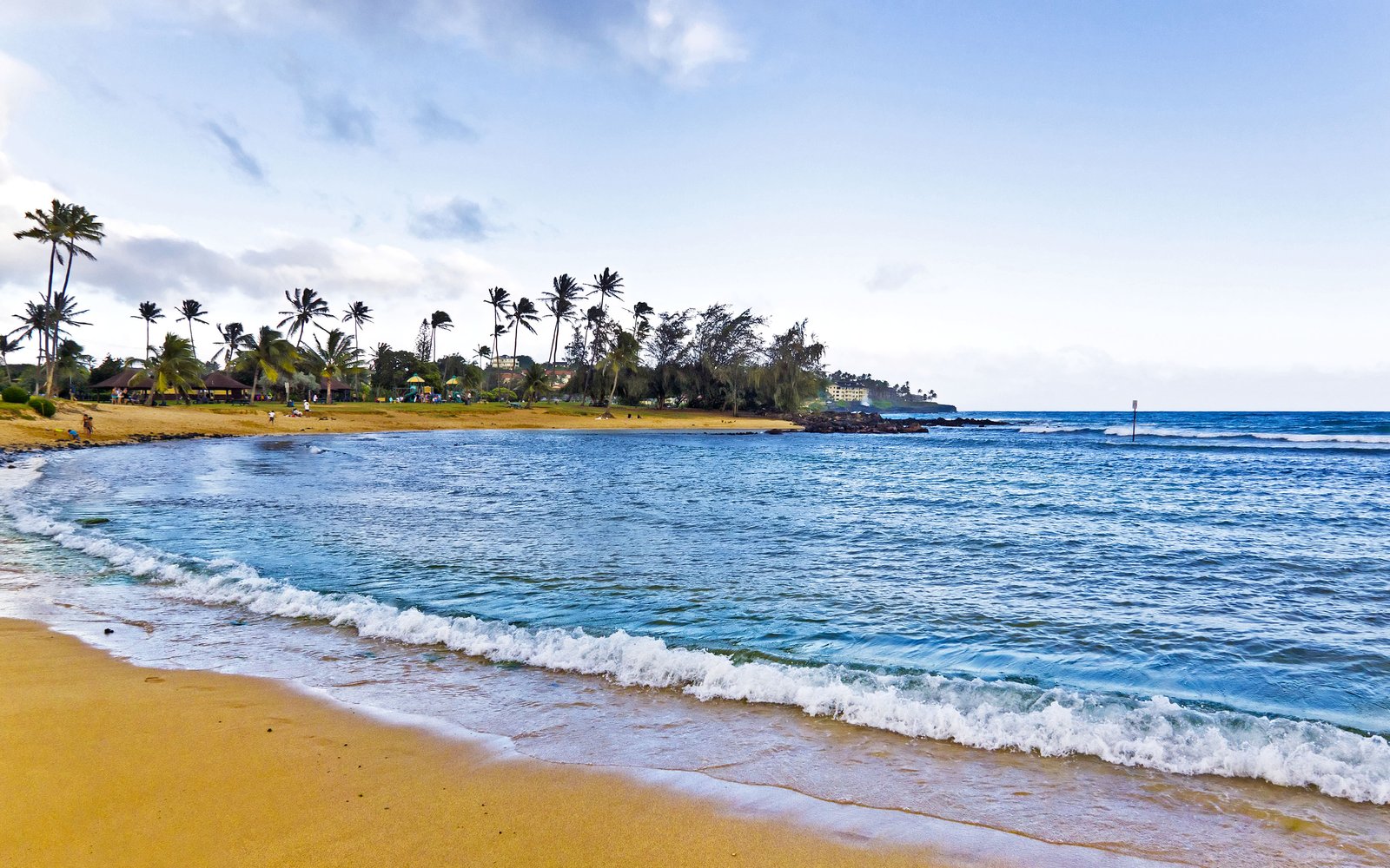


Hawaii fall ocean safety comes down to a default pattern in October and November: most of your reliable swim water sits on south, southwest, and protected west-facing shores, with a few protected east and windward exceptions. The north-facing beaches that were mellow in August, like Waimea Bay on Oʻahu, Tunnels and Kēʻē on Kauaʻi, and Honolua on Maui, start becoming winter beaches by late October. By November they usually are winter beaches. Most visitors don’t know this is happening. They show up on Kauaʻi in early November, walk down to Tunnels or Kēʻē expecting the postcard, and find whitewater instead.
Here’s the physics behind the flip. Through the summer, storms in the Southern Hemisphere push swell north into south- and southwest-facing shores. Waikīkī, Kīhei, Poʻipū, and the leeward Kona coast all catch that same season. By late fall the pattern reverses. North Pacific storms take over, north-facing shores start to see the first serious swells of the winter surf window, and the beaches that were most exposed in July become the calmest, most reliable places to swim by October. The map of where visitors should get in the water quietly redraws itself over the course of a few weeks.
This is the shoulder-season handbook: what’s actually happening physically, where you can reliably swim in October and November, where you should not, and the daily tools we use to make the call on any given morning. We built it as the companion to our Hawaiʻi summer ocean safety guide, which covers the opposite half of the year.