We may earn a commission when you book or buy through links on this page.
Captain Cook Monument
Located within the West Region on Kauai
Captain Cook Monument in Waimea
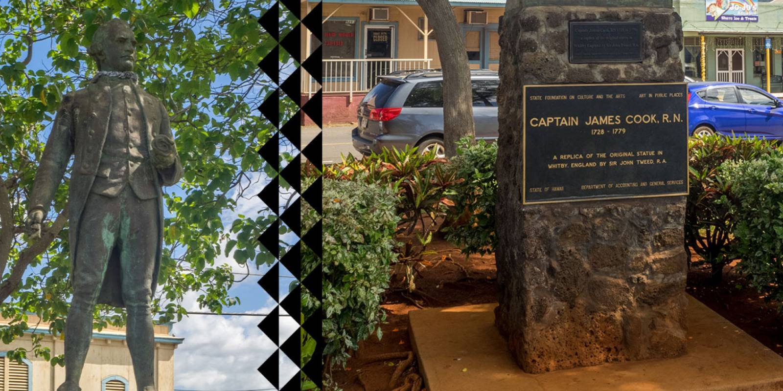
On January 20, 1778, Captain James Cook sailed into Waimea Bay and became the first European to make contact with the Hawaiian Islands. A statue in downtown Waimea marks the approximate landing spot.
The Monument
The statue is a replica of the original that stands in Whitby, England, the port where Cook trained as a seaman. The British government gifted it to the town of Waimea. It is a modest monument near the water, depicting Cook in his captain's uniform.
A plaque provides basic historical context. The whole stop takes five minutes unless you want to read and reflect on the significance of first contact between Europeans and Hawaiians.
Cook's Story in Hawaii
Cook named the archipelago the "Sandwich Islands" after his patron, the Earl of Sandwich. After his initial landing at Waimea, he sailed on to explore the other Hawaiian islands. He returned to the Big Island in 1779, where a dispute over a stolen boat escalated into a fatal confrontation at Kealakekua Bay.
The legacy of Cook's arrival is complicated. First contact brought trade goods and new technologies, but also introduced diseases that devastated the Native Hawaiian population in the decades that followed.
While You're in Waimea
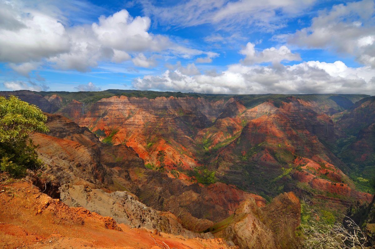
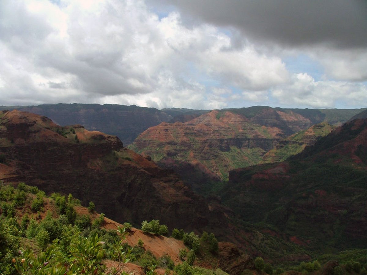
The monument is in downtown Waimea, right off Highway 50. A handful of plate-lunch counters and food trucks in town make it an easy meal stop. From here, it is a short drive to Russian Fort Elisabeth and the Menehune Ditch. Most visitors stop in Waimea on their way up to Waimea Canyon, so you can hit all four in a single morning. Waimea is also a smart place to gas up before the drive — you won't find a station on the way up the canyon.
Explore smarter
Turn this stop into a better day plan.
Use maps, timing, access checks, and current conditions before adding another stop to the route.
Founder & certified Hawai'i travel expert with 20+ years in Hawai'i tourism, University of South Carolina climate-research training, and NOAA weather-station experience.
Trades are breezy right now with scattered showers on the windward side and mountains; the leeward coast stays mostly dry. Tomorrow stays breezy with the same pattern.
A tropical disturbance southeast of the islands is likely to become a tropical storm by mid-week and approach the state Thursday through Saturday. The exact track is still uncertain. If it comes closer, expect heavier rain over a longer stretch; if it stays farther out, impacts will be shorter and lighter. Winds will increase late this week, with potential gusts over 70 miles per hour on the highest summits.
Plan your leeward beach time and snorkeling for today through Tuesday. Save summit drives and offshore water sports for after Saturday, and check updates daily as this develops.
0:000:53
Voice
Read the transcript
Trade winds are pushing across Maui right now and staying breezy through tomorrow. Windward slopes and peaks will see scattered showers; the leeward side stays mostly dry. Rough seas mean a Small Craft Advisory is in effect through Tuesday evening.
A tropical disturbance southeast of the islands is likely to become a tropical storm by mid-week and approach the state Thursday through Saturday. The track remains uncertain. Late this week, winds will increase across Maui, with summit gusts potentially exceeding 70 mph on Haleakala. The Big Island—especially Hilo and Puna—faces the highest risk of heavy rain and flooding if the storm tracks close.
Leeward beaches and snorkeling work best today through Tuesday. Avoid summit hikes and offshore water sports Thursday through Saturday.
0:000:55
Voice
Read the transcript
Trades are kicking today with moderate wind and rough seas. Windward slopes will see scattered showers; the leeward side stays mostly dry. A Small Craft Advisory is in effect through Tuesday evening.
A tropical disturbance southeast of the islands is likely to become a tropical storm by mid-week and approach the state Thursday through Saturday. The track remains uncertain, but the Big Island faces the highest risk of heavy rain and flooding, especially in the Hilo and Puna areas. Summit winds could exceed 70 mph late in the week. Check forecasts daily as the situation develops.
Leeward snorkeling and beach time work well through Tuesday. Save summit drives and windward hikes for today or tomorrow, and avoid offshore water sports and high elevations Thursday through Saturday.
0:000:58
Voice
Read the transcript
Trades are steady now with scattered showers on the windward side and ridges; the leeward coast stays mostly dry. Through Tuesday it stays breezy with rough seas around Maui and the Big Island, where a Small Craft Advisory is in effect through Tuesday evening.
A tropical disturbance southeast of the islands is likely to become a tropical storm by mid-week and approach the state Thursday through Saturday. The exact track is uncertain. Winds will increase across the eastern islands late this week, with potential for summit gusts over 70 mph on Maui and the Big Island if the storm intensifies.
Get your beach and snorkel time in today and tomorrow on the leeward coast. Avoid summit hikes and offshore water sports Thursday through Saturday as conditions deteriorate. The track could shift significantly—check updates daily.
Created with AI from the official NWS forecast discussion · verify with NWS before heading out