

Just past mile marker 22 on Highway 50 is the old Russian Fort Elisabeth which dates back to 1816. It was built by George Scheffer, an unscrupulous man who was employed by a Russian company. He built the fort as part of a misguided plan to help King Kaumauli'i reclaim full power of the island from the reigning King Kamehameha.
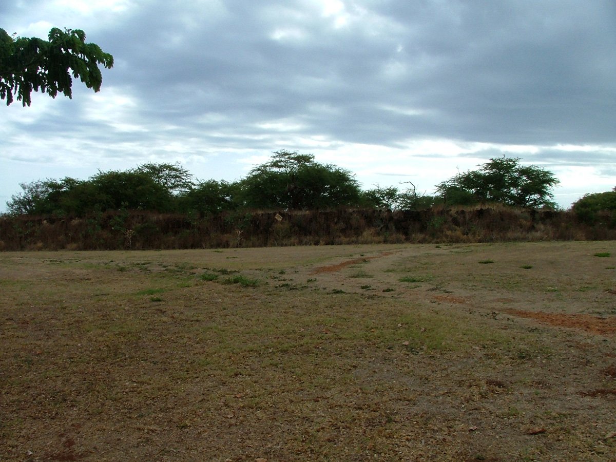
Russian Fort Elizabeth | Kauai Hawaii
We may earn a commission when you book or buy through links on this page.
Russian Fort Elizabeth
Located within the West Region on Kauai
The Russians found out about his plan and forced him to leave. There is little more here than piles of rocks where the stone foundation once stood. There are several plaques detailing the whole story as well as a self-guided tour. While not the most thrilling spot on the island there are rest rooms available inside the park.
Russian Fort Elisabeth State Historical Park
This is one of the strangest historical sites in all of Hawaii. A Russian fort on a tropical island 2,500 miles from the nearest continent. The story behind it is brief, bizarre, and worth knowing before you visit.
The Russian Chapter in Hawaii
In 1815, a ship belonging to the Russian-American Company wrecked off Kauai. Georg Anton Schaffer, a German doctor working for the Russians, arrived to recover the cargo. He got ambitious. Schaffer struck a deal with King Kaumuali'i of Kauai, promising Russian military support against King Kamehameha I in exchange for land and trading rights.
Construction of Fort Elisabeth began in 1817 on the bluff overlooking Waimea Bay. The star-shaped fort was built with native Hawaiian labor using local stone and mortar. It had walls up to 20 feet thick in places and mounted dozens of cannons.
The scheme lasted about two years. The Russian government never sanctioned it. When Kamehameha protested, Schaffer was expelled from the islands in 1817. The fort fell to Hawaiian control and was used intermittently until the 1860s before being abandoned.
What You'll See Today
The remaining stone walls outline the original star-shaped footprint. They stand several feet high in some sections. Interpretive signs placed throughout the site explain the timeline, the key players, and the political context.
A walking path loops through the ruins. The whole visit takes 15 to 20 minutes. There are restrooms inside the park. Entry is free.
Visitor Tips
The fort sits right off Highway 50 in Waimea, just past mile marker 22. Pair this stop with a Waimea Canyon trip since you'll be driving through town anyway. The Captain Cook Monument is also nearby in downtown Waimea.
The site is exposed with little shade. Bring water and sun protection if you're visiting midday. Morning or late afternoon light is best for photos of the stone walls.

Published by: John C. Derrick
Founder & certified Hawai'i travel expert with 20+ years in Hawai'i tourism, University of South Carolina climate-research training, and NOAA weather-station experience.
Russian Fort Elizabeth Reviews
Guidereview:
F (based on 214 visitor reviews)Geolocation Data
Geographic Coordinates
Latitude: 21.95109533
Longitude: -159.664278
Hawaii Safety Information
Recommended Tours Nearby
Affiliate Disclosure: We may earn a commission when you book or buy through links on this page. See our Ad Disclosures & Standards.
Visitors can explore the site of a waterfront fort built by Russia in 1817 for fueling & trading.
Parking
Free parking lotPaid parking lot
Accessibility & parking data from Google. Confirm on the ground before your visit.
What's Nearby
Beaches
Attractions
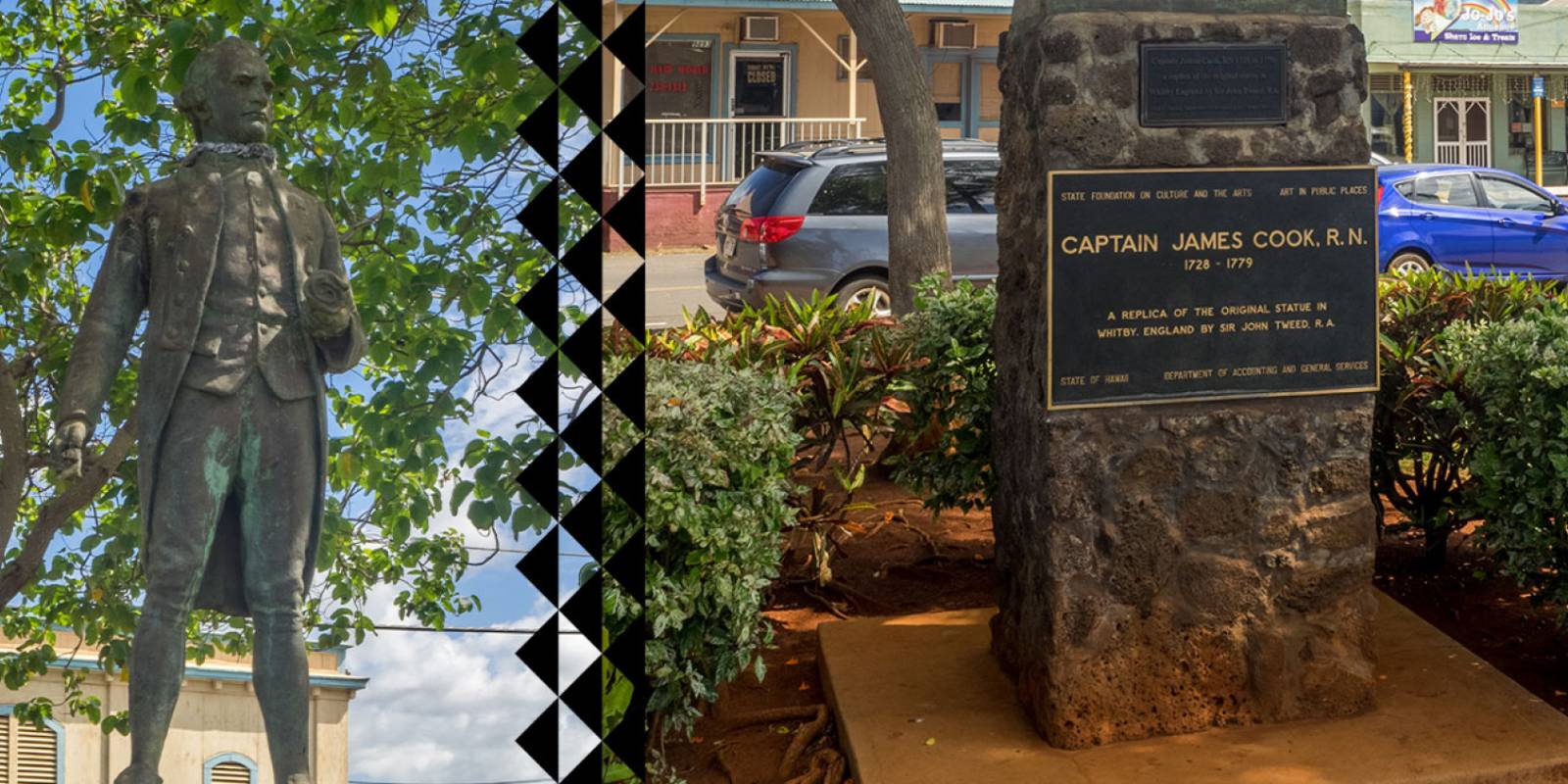
Captain Cook Monument
0.3 mi
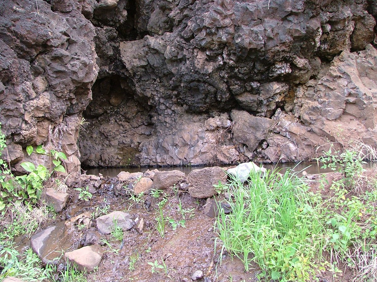
Menehune Ditch (Kiki a Ola)
1.3 mi
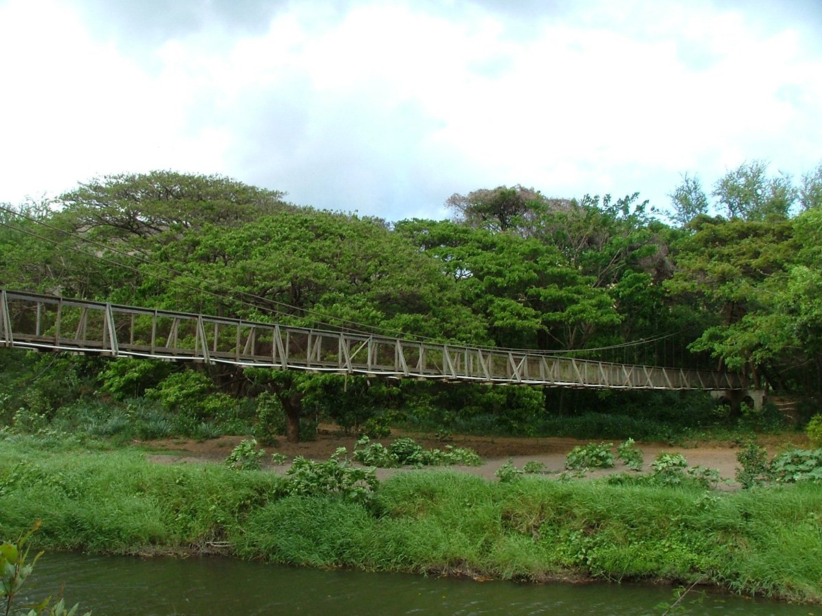
Waimea Swinging Bridge
5.7 mi
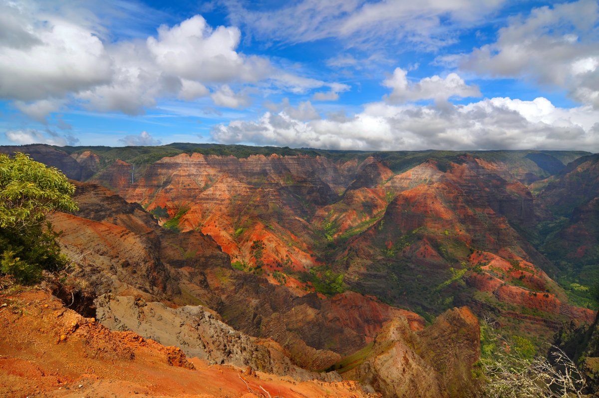
Waimea Canyon
8.4 mi
Hiking Trails

Need help planning?
Search & Planning Chat →

Hawaiʻi Weather Forecast
Today’s Weather Brief · Audio · ~45s
0:00
0:54
Read the transcript
Trades are breezy right now with scattered showers on the windward side and mountains; the leeward coast stays mostly dry. Tomorrow stays breezy with the same pattern.
A tropical disturbance southeast of the islands is likely to become a tropical storm by mid-week and approach the state Thursday through Saturday. The exact track is still uncertain. If it comes closer, expect heavier rain over a longer stretch; if it stays farther out, impacts will be shorter and lighter. Winds will increase late this week, with potential gusts over 70 miles per hour on the highest summits.
Plan your leeward beach time and snorkeling for today through Tuesday. Save summit drives and offshore water sports for after Saturday, and check updates daily as this develops.
Created with AI from the official NWS forecast discussion · verify with NWS before heading out
Loading forecast…
Temperature
Weather data by Open-Meteo.com
Current Time in Hawaiʻi
--:----
Hawaiʻi Standard Time · UTC−10 · No Daylight Saving
You’re on Hawaiʻi timeMainland US
International
Aloha Today daily podcast →
Full HST breakdown, FAQ & DST schedule →

Russian Fort Elisabeth
Get Your Free Hawaii Visitor Guide
Enter your email and we'll send you instant access to our free 2026 Hawaii Starter Guide + Summary Guidesheets.