We may earn a commission when you book or buy through links on this page.

All Islands

Big Island Through Our Lens

The Big Island gets the deepest coverage — 16 shots from a 2022 trip across Hawaiʻi Volcanoes, Mauna Kea, Pololū, Waipiʻo, Puʻuhonua o Hōnaunau, Lapakahi, Hilo, and the Hāmākua coast. Shot on a mix of bodies in 2022.
Mixed bodies 2022 Big Island By John C. Derrick & Tori C. Derrick
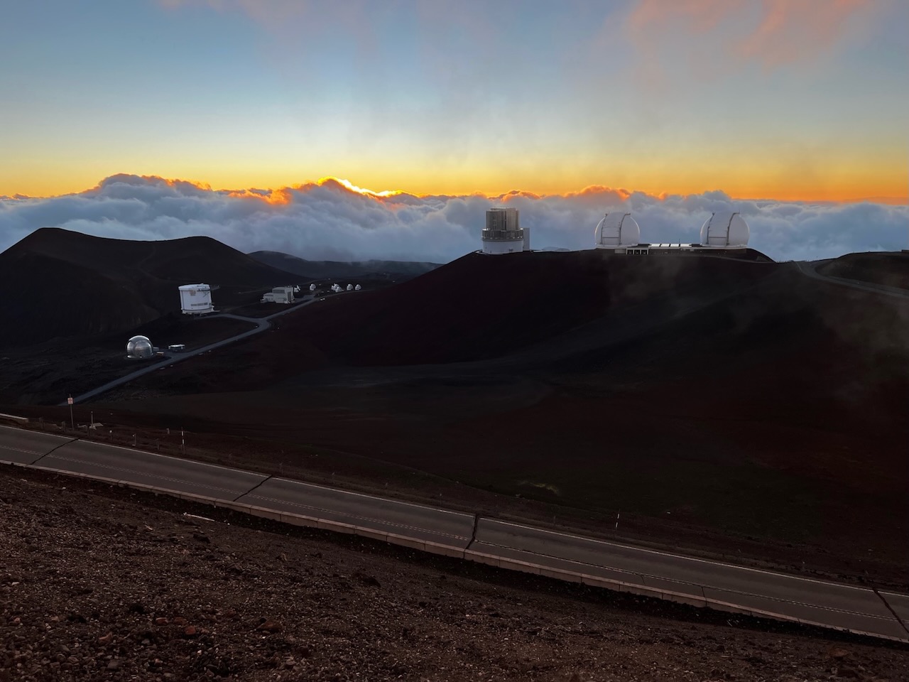
Mauna Kea summit sunset, Big Island
Mauna Kea summit 13,803 feet, often above the clouds. Sunset from the visitor station, then stay for stars — but the summit road past VIS requires 4WD. Visitor info →
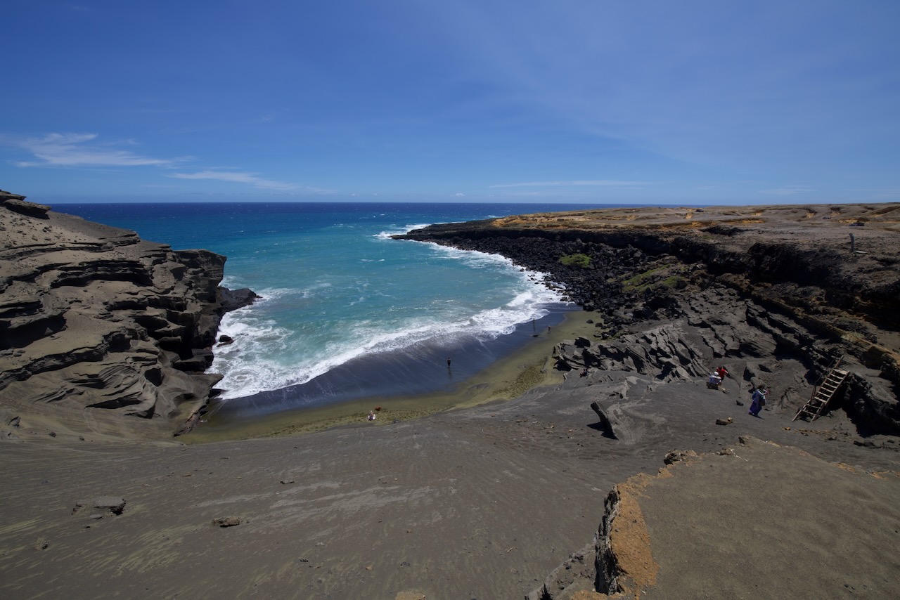
Papakōlea Green Sand Beach cove, Kaʻū, Big Island
Papakōlea Green Sand Beach One of four green sand beaches in the world. Olivine crystals from an old cinder cone. Expect a long, exposed round-trip hike from the South Point parking area. Beach info →
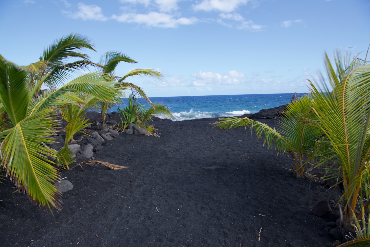
New Kaimū Beach and coconut palms, Kalapana, Puna, Big Island
New Kaimū Beach Young coconut palms frame this black-sand shoreline at Kaimū. Kīlauea's 1990 flow covered the original beach and extended the coast into Kaimū Bay. Beach info →
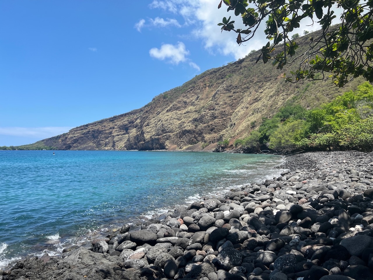
Kealakekua Bay from the upper road, South Kona, Big Island
Kealakekua Bay Marine life sanctuary. Some of the best snorkeling on the island. The white obelisk across the bay is the Captain Cook monument. Visitor info →
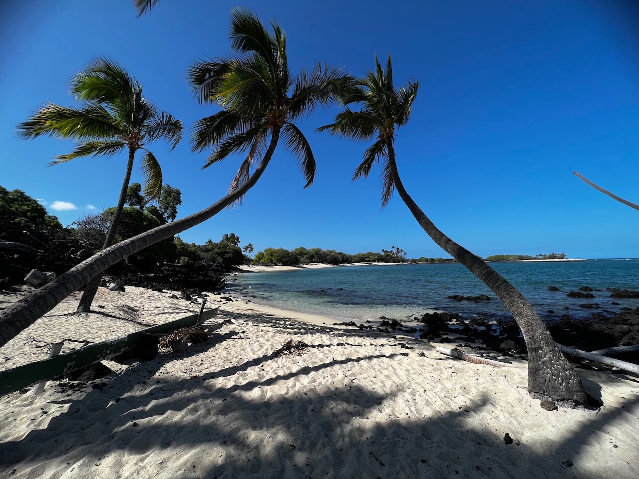
Palm-framed cove at Makalawena Beach, Kekaha Kai State Park, Big Island
Makalawena Beach White-sand cove inside Kekaha Kai State Park. Reach it via a rough lava road and a walk from the Māhaiʻula parking area. Beach info →
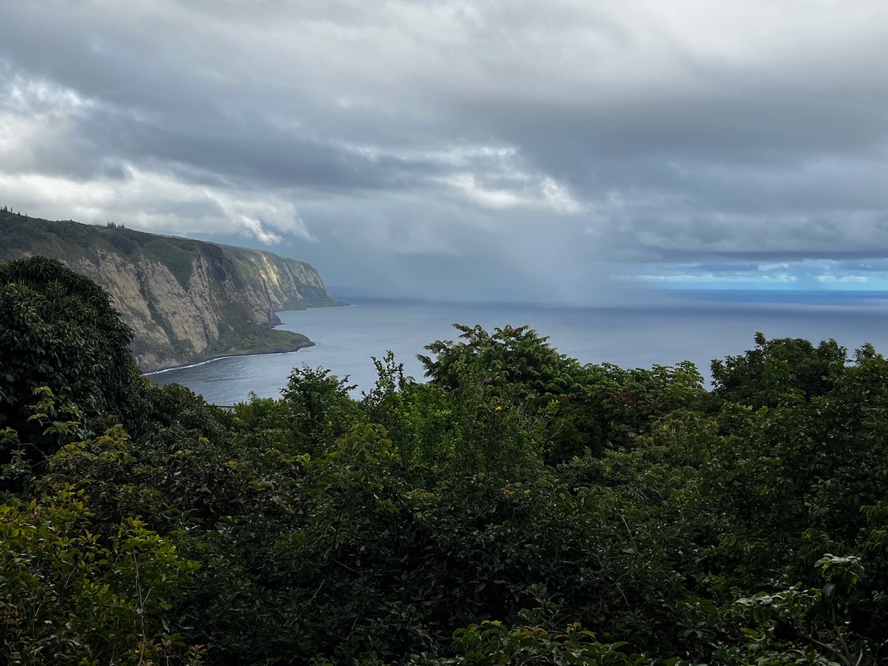
Waipiʻo Valley coastline from the overlook, Hāmākua coast
Waipiʻo Valley overlook The road down to the valley floor closed to non-residents in 2022 and hasn't reopened. The overlook is the view today — and it still does the job. Overlook info →
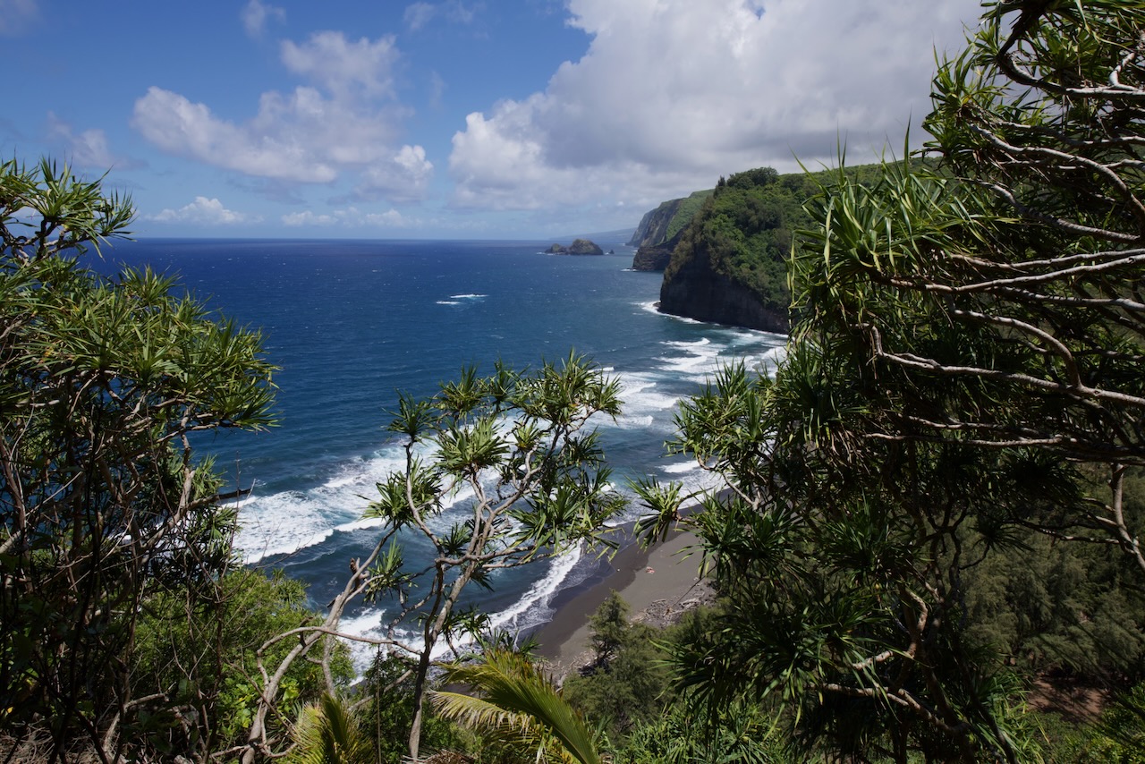
Pololū Valley black sand beach framed by foliage, Big Island
Pololū Valley End of the road in North Kohala. The valley floor is a 30-minute steep descent — the hike back up is the workout. Trail info →
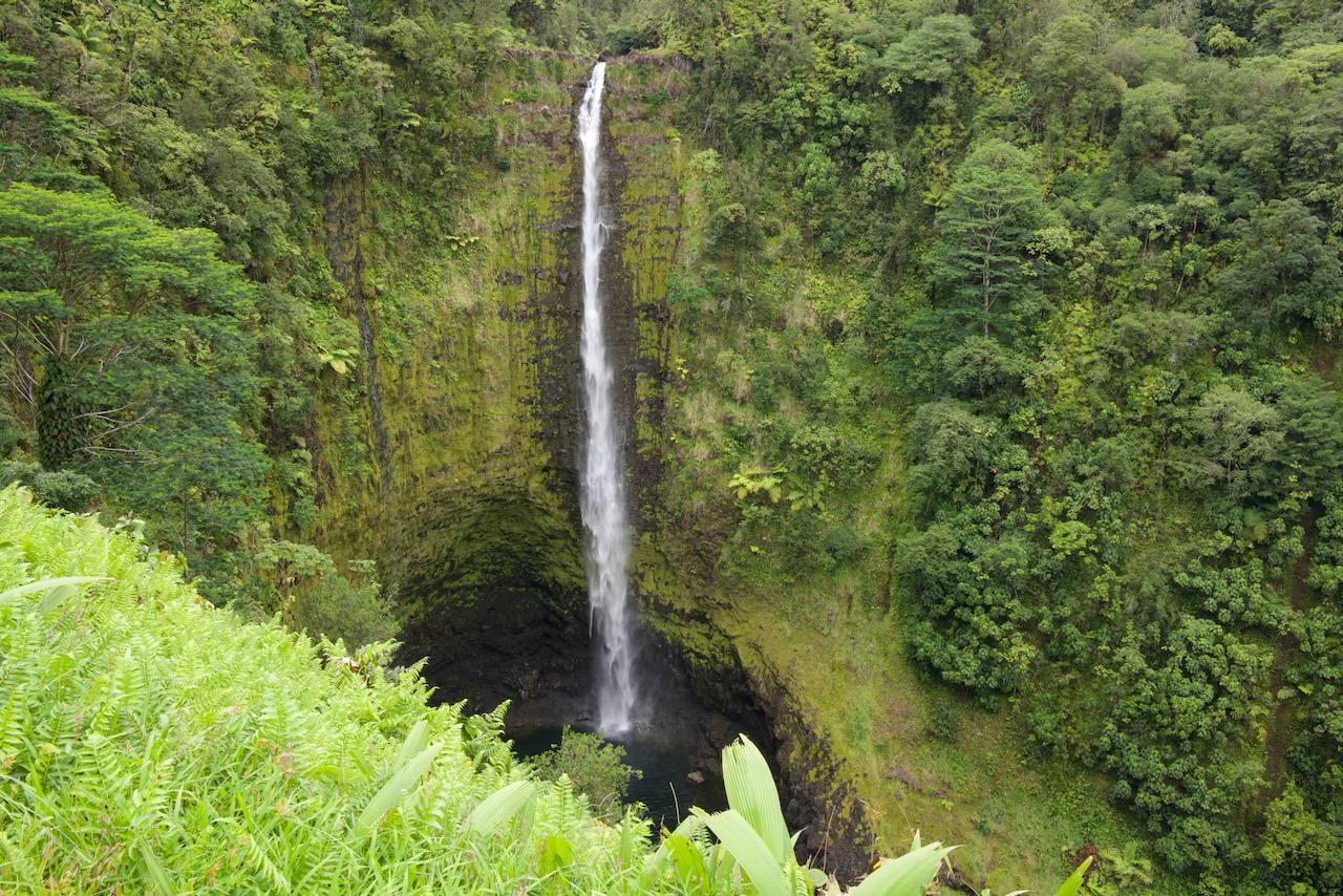
ʻAkaka Falls, Hāmākua coast, Big Island
ʻAkaka Falls 442 feet of vertical drop. Paved 0.4-mile loop trail — easiest way to see a major waterfall on the island. Park info →
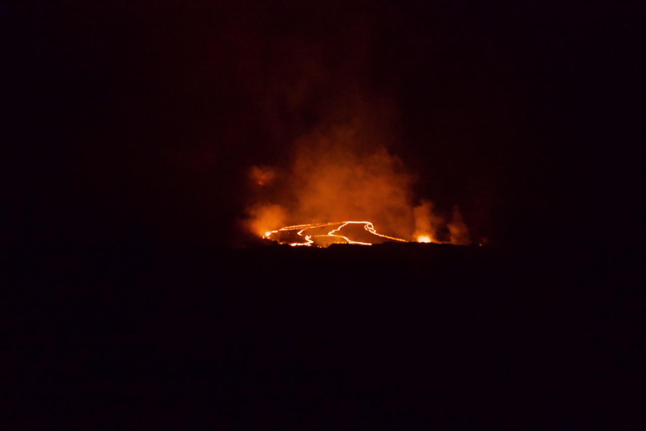
Kīlauea night eruption glow from the Halemaʻumaʻu overlook
Kīlauea night glow Halemaʻumaʻu overlook after dark. The glow shifts week to week — check USGS HVO for current activity before you commit to a night drive. Park info →
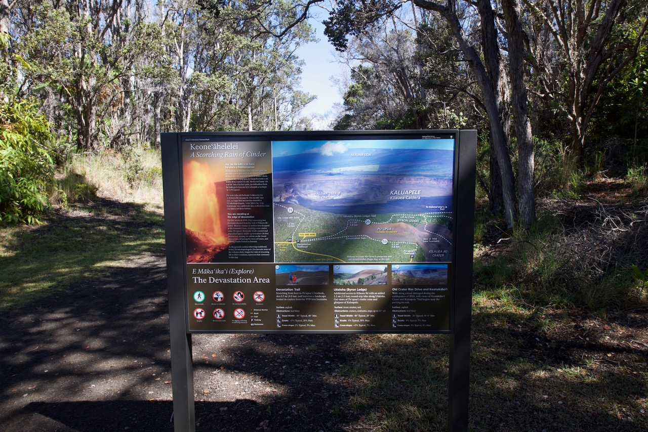
Devastation Trail, Hawaiʻi Volcanoes National Park
Devastation Trail The 1959 Kīlauea Iki eruption blanketed this area in cinders. The forest is slowly coming back along the paved trail. Park info →
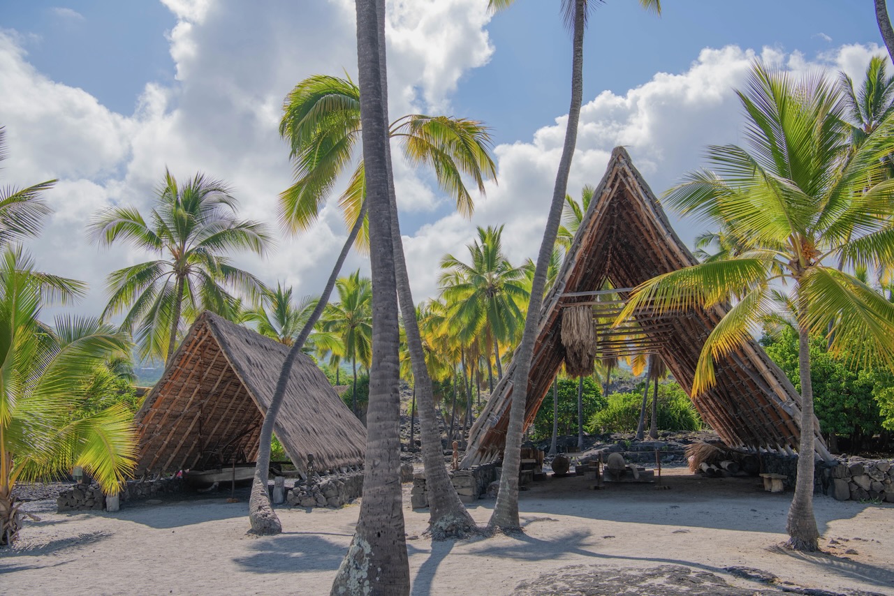
Puʻuhonua o Hōnaunau canoe hale, Place of Refuge
Puʻuhonua o Hōnaunau "Place of Refuge" — a pre-contact sanctuary where kapu-breakers could find absolution if they made it inside. NPS now manages the site. Park info →
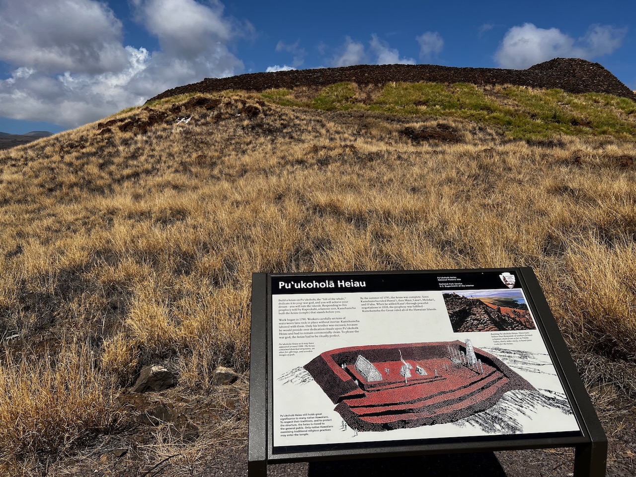
Puʻukoholā Heiau, Kawaihae, North Kohala
Puʻukoholā Heiau Kamehameha I built this heiau in 1790–1791 as part of his unification of the islands. Massive dry-stack stonework, no mortar. Park info →
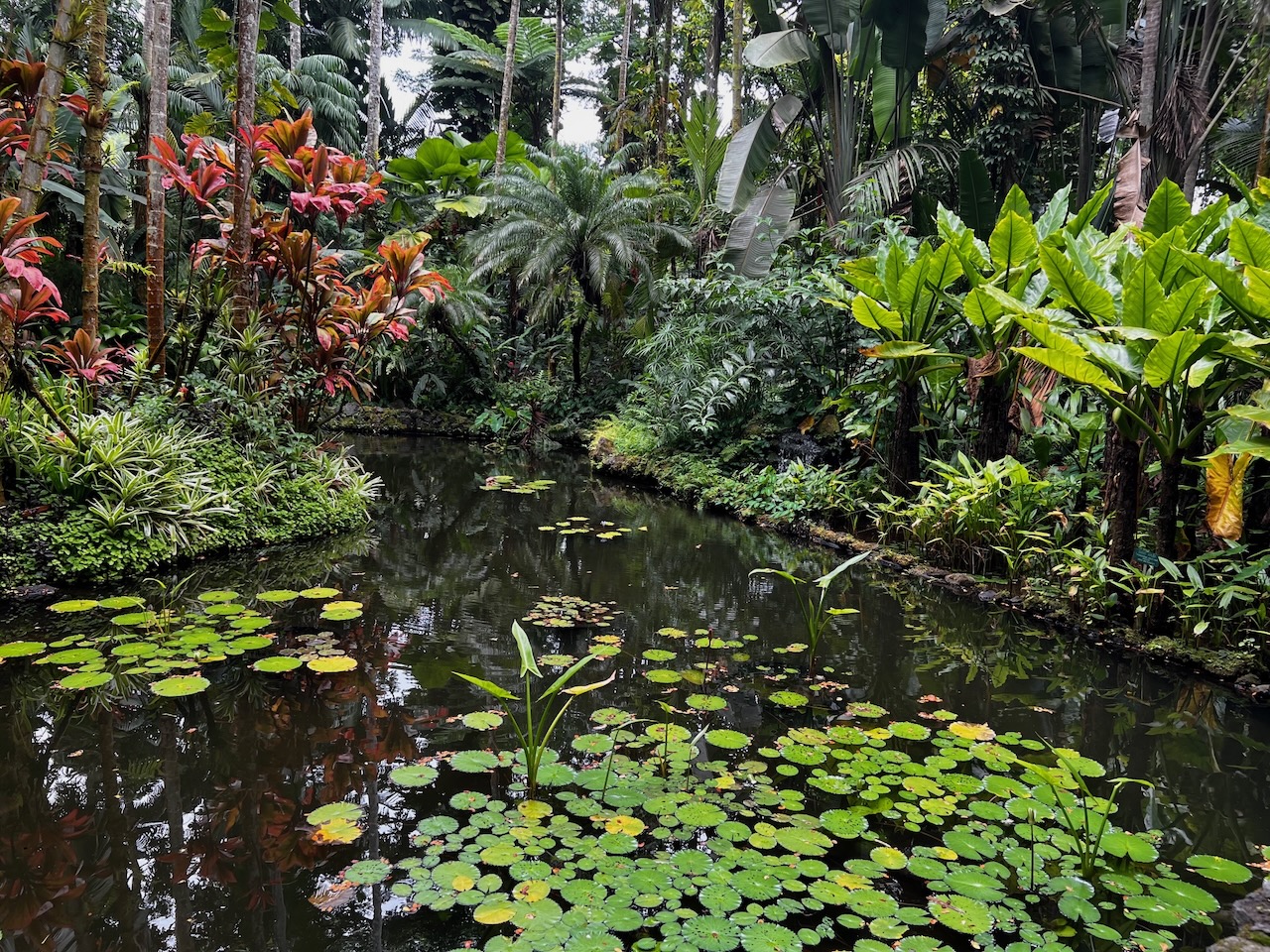
Hawaiʻi Tropical Bioreserve & Garden pond, Hāmākua coast
Hawaiʻi Tropical Bioreserve & Garden Onomea Bay just north of Hilo. Walk through tropical plant collections down to the coast. Buy your ticket online to skip the wait. Things to do →
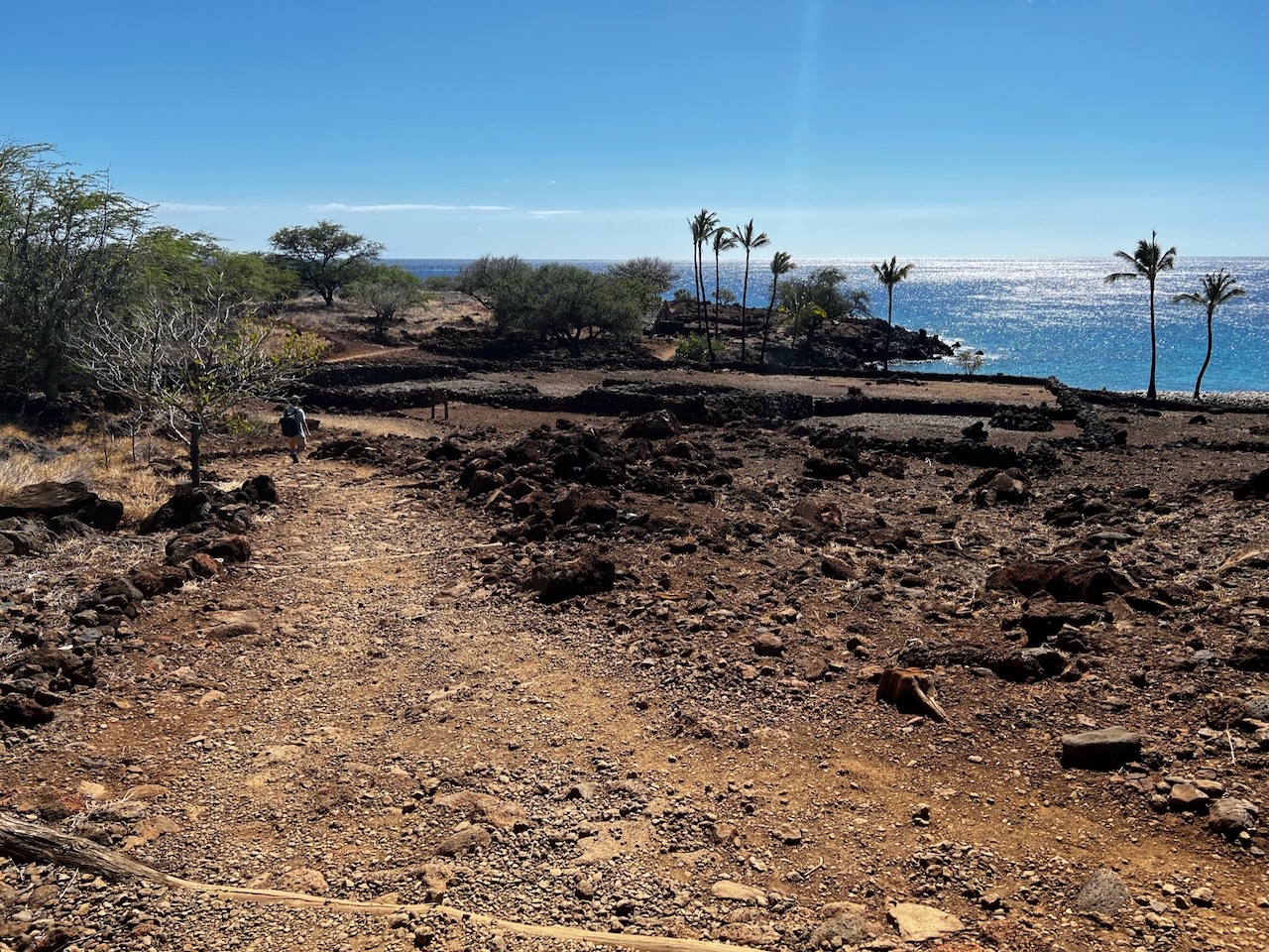
Coastal trail and village remains at Lapakahi State Historical Park, Big Island
Lapakahi State Historical Park A coastal trail passes stone house platforms and other remains of a traditional Hawaiian fishing village. Park info →
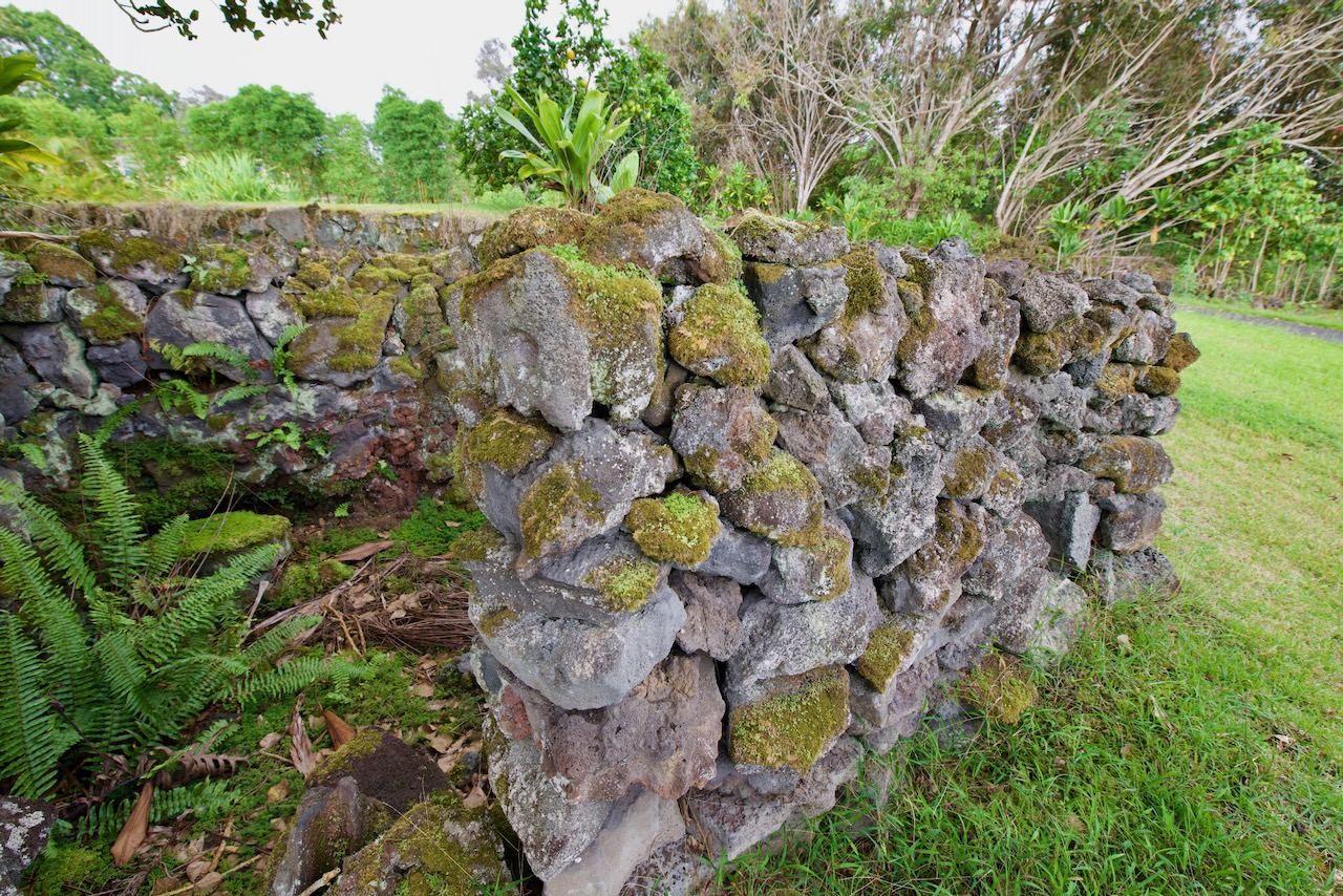
St. Benedict's Painted Church stone wall detail, South Kona
Painted Church (St. Benedict's) South Kona, just up the hill from Puʻuhonua o Hōnaunau. A Belgian priest painted the entire interior in the early 1900s. Quick stop. Visitor info →
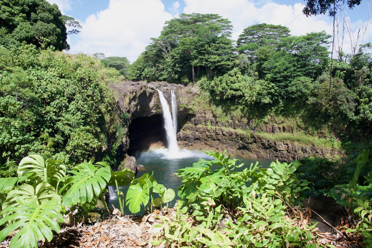
Rainbow Falls in Wailuku River State Park, Hilo, Big Island
Wailuku River State Park Hilo's Wailuku River cuts through here on its way to the bay. The park covers Rainbow Falls upstream and Boiling Pots a little further on. Park info →
P
Save these to Pinterest. Pin any shot above — the pin will land on the right page when someone clicks through.
Follow on Pinterest