
Road Trip, Walking & Food Guides
Hawaii Guide Routes BETA
Free Hawaii Guide routes for iconic drives, walkable visitor districts, and local food plans. Listen where audio is available, check in at stops, and earn route badges in your HawaiiGuide Passport.
100% free
25 routes live today
Earn Passport badges
No app required
Route Explorer
Pick the route that fits your trip
Browse free Hawaii Guide routes by island, time commitment, and travel style. Each route opens into a map, stop list, custom plan builder, and checkpoint hunt that earns a HawaiiGuide Passport badge when you finish.
25routes
4islands
Badgecheckpoint hunts
Current route mix
Maui
6 routes
Road to Hana, Reverse Road to Hāna, Haleakalā Summit Drive, + 3 more
Oahu
6 routes
North Shore Drive, East Oahu Coastal Drive, Heart of Waikiki Walking Tour, + 3 more
Kauai
5 routes
Waimea Canyon Drive, Kauai North Shore Drive, Kauai Local Dish Route, + 2 more
Big Island
8 routes
Chain of Craters Road, Crater Rim Drive, Hilo to South Point, + 5 more
25 routes
 Maui · Drive
Passport badge
Maui · Drive
Passport badge
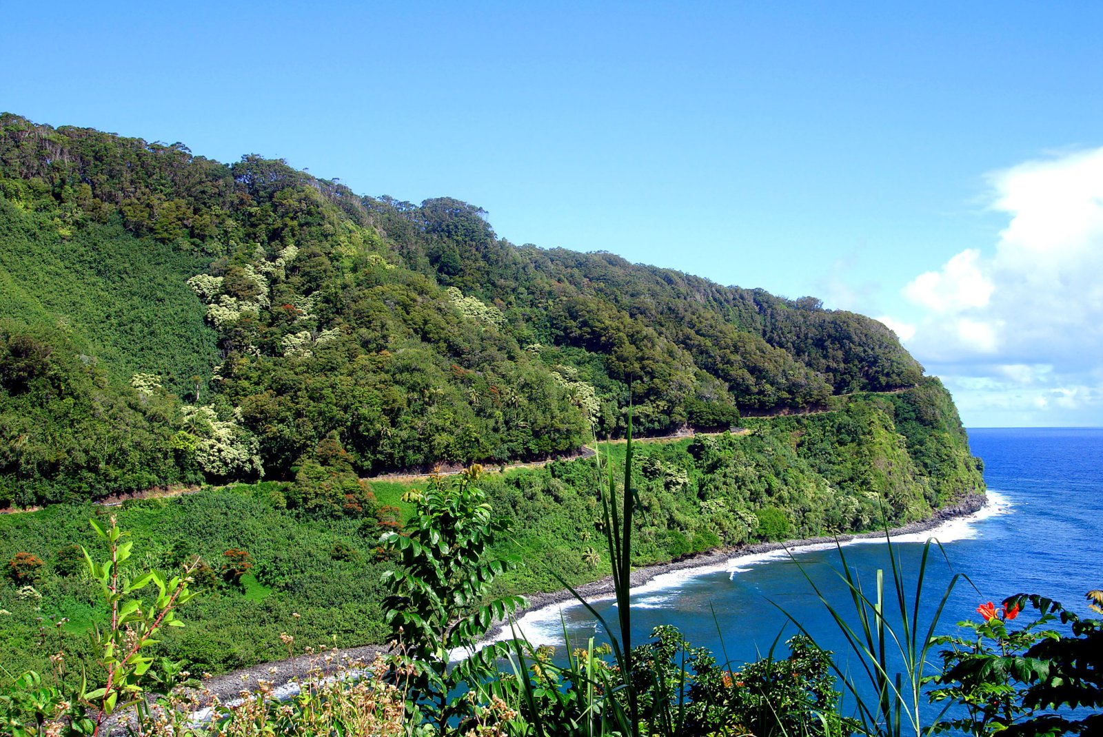
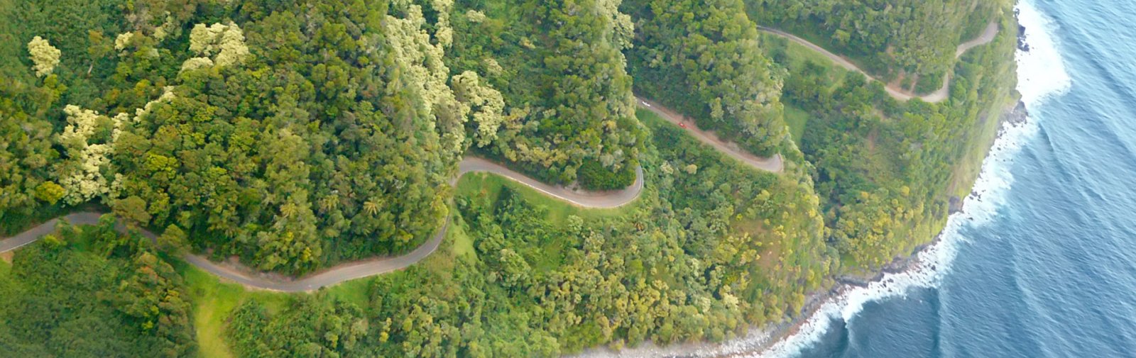
Road to Hana
The slow drive from Paia through Hana to Kipahulu — waterfalls, black-sand beaches, bamboo forest, the Seven Sacred Pools, and the Pipiwai Trail to Waimoku Falls. 30+ curated segments. Free self-guided audio tour.
Lower Paia → Kipahulu
Start checkpoint route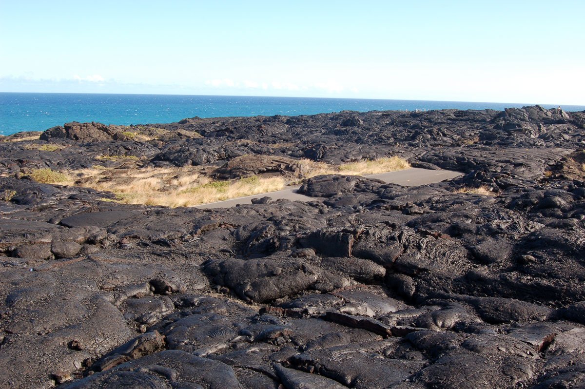 Big Island · Drive
Passport badge
Big Island · Drive
Passport badge
Chain of Craters Road
A one-way 18.8-mile descent inside Hawaiʻi Volcanoes National Park, dropping 3,700 feet from the summit of Kīlauea to the coast. Pit craters, rift-zone lava fields, a pali descent with 2,000-foot drops, ancient petroglyphs, and a sea arch near the dead end where lava repeatedly covered the former road. ~17 curated segments.
Crater Rim Drive junction (near Devastation Trail) → Hōlei Sea Arch / end-of-road barricade
Start checkpoint route
Maui · Drive
Passport badge
Reverse Road to Hāna
The paved return-direction companion to the Road to Hāna, starting at ʻOheʻo and Pīpīwai in Kīpahulu, passing Hāna, and following the rainforest highway west to Pāʻia. Includes an alternate Hāna Town joining point. Free self-guided audio tour.
Kīpahulu → Lower Pāʻia
Start checkpoint route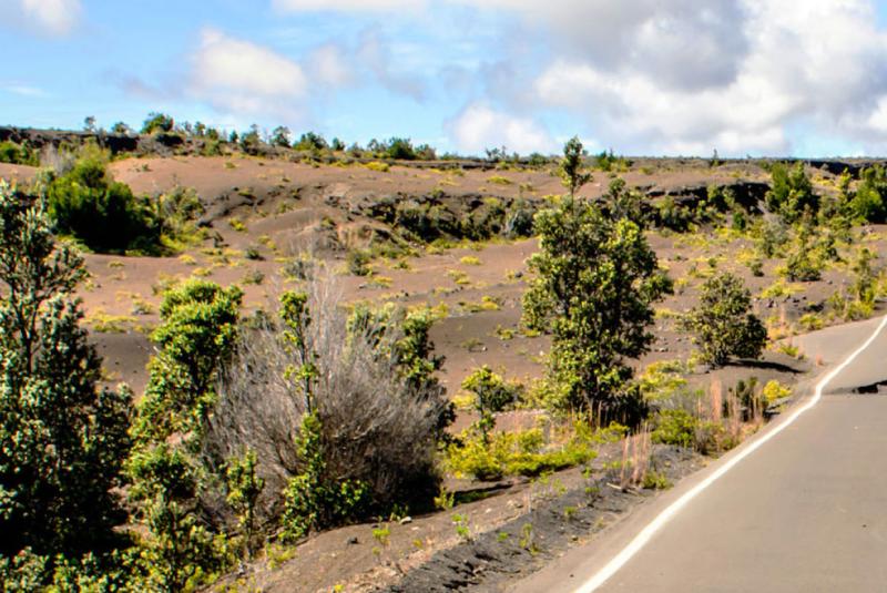 Big Island · Drive
Passport badge
Big Island · Drive
Passport badge
Crater Rim Drive
A two-lobe drive along the rim of Kīlauea Caldera inside Hawaiʻi Volcanoes National Park. The south rim has been closed since the 2018 caldera collapse, so the route runs as two out-and-backs — west first to Volcano House, the Volcano Art Center, Sulphur Banks, Steam Vents, Kīlauea Overlook, and Uēkahuna; then east to Kīlauea Iki, Nāhuku, Devastation Trail, Puʻu Puaʻi, and Keanakākoʻi. Audio is evergreen — every stop is narrated as if open. Per-stop `currently_closed` flags drive the route page's closure chips. Update those flags as the park's conditions change (the rim closes and reopens on its own schedule).
Welcome Center inside Hawaiʻi Volcanoes National Park → Closure barrier past Keanakākoʻi (east side)
Start checkpoint route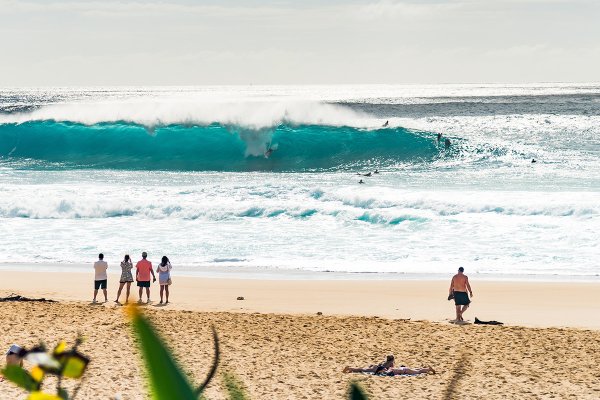 Oahu · Drive
Passport badge
Oahu · Drive
Passport badge
North Shore Drive
The classic Kamehameha Highway run along Oahu's North Shore — Haleiwa Town, the green-sea-turtle beach at Laniakea, Waimea Bay, the snorkel cove at Sharks Cove, Banzai Pipeline, Sunset Beach, the resort at Turtle Bay, and the shrimp trucks of Kahuku. ~12 curated segments. Free self-guided audio tour.
Haleiwa Town → Kahuku
Start checkpoint route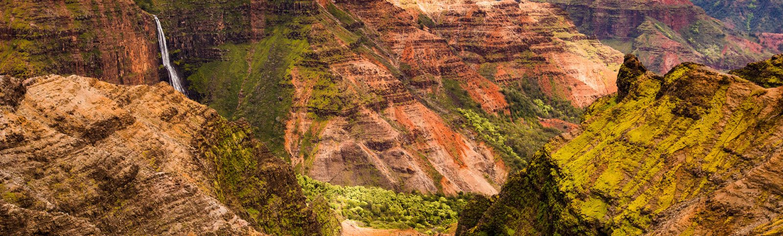 Kauai · Drive
Passport badge
Kauai · Drive
Passport badge
Waimea Canyon Drive
A 19-mile climb up Hawaii Route 550 from Waimea Town on the south coast to the Puʻu o Kila Lookout above the Kalalau Valley — the "Grand Canyon of the Pacific" overlook, Kokeʻe State Park, and the rim above Na Pali. ~7 curated segments. Free self-guided audio tour.
Waimea Town (Hwy 50) → Puʻu o Kila Lookout (end of paved road)
Start checkpoint route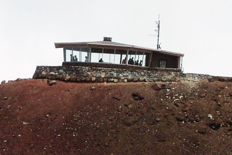 Maui · Drive
Passport badge
Maui · Drive
Passport badge
Haleakalā Summit Drive
A 36-mile climb up Hawaii Routes 377 and 378 from upcountry Maui to the summit of Haleakalā at 10,023 feet. Switchbacks, silverswords, the view from Leleiwi, sunrise from the visitor center, the observatory complex at the top. Plan 3+ hours one way. ~7 curated segments. Free self-guided audio tour.
Pukalani / Kula (junction with Hwy 37) → Puʻu ʻUlaʻula Summit (10,023 ft)
Start checkpoint route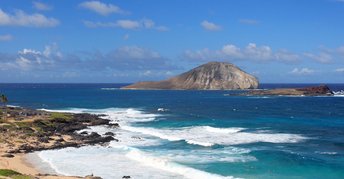 Oahu · Drive
Passport badge
Oahu · Drive
Passport badge
East Oahu Coastal Drive
A 25-mile half-day drive along Kalanianaʻole Highway and around the southeast tip of Oahu — Diamond Head, Hanauma Bay, Halona Blowhole, Sandy Beach, Makapuʻu Lookout, Waimānalo, Lanikai. Ends at one of the most photographed beaches in Hawaii. ~7 curated stops.
Diamond Head Lookout (Waikīkī side) → Lanikai Beach (Kailua)
Start checkpoint route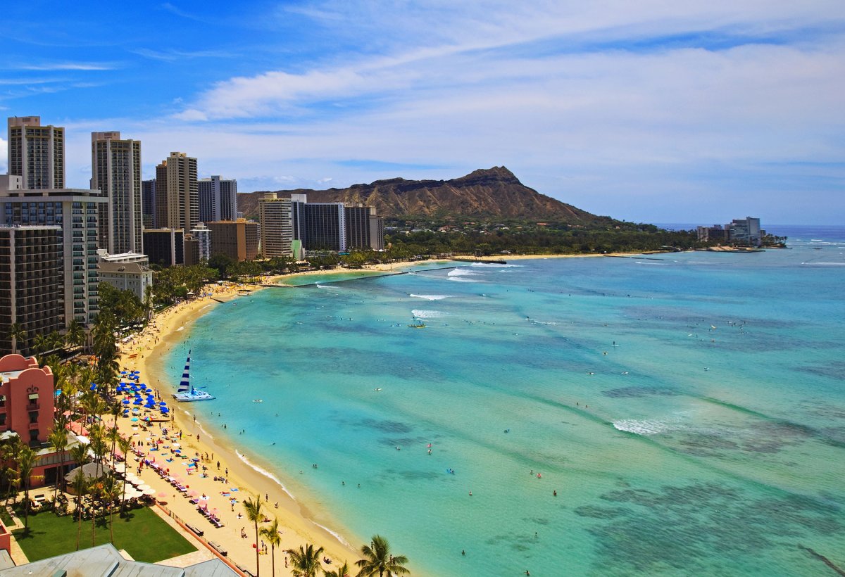 Oahu · Walk
Passport badge
Oahu · Walk
Passport badge
Heart of Waikiki Walking Tour
A relaxed, daylight-friendly walking route through central Waikiki — Kuhio Beach, the Duke Kahanamoku statue, Waikiki Beach, International Market Place, Royal Hawaiian Center, Waikiki Beach Walk, and Fort DeRussy. About 1.5 miles one-way, with plenty of food, shade, shopping, and beach pauses.
Duke Kahanamoku Statue → Fort DeRussy Beach Park
Start checkpoint route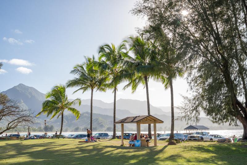 Kauai · Drive
Passport badge
Kauai · Drive
Passport badge
Kauai North Shore Drive
A ~20-mile North Shore drive from Kīlauea Town to the end of the road at Kēʻē Beach, with an optional Kīlauea Point Lighthouse spur before continuing west. Kīlauea Town, Kīlauea Lighthouse, Princeville, Hanalei Valley Overlook, Hanalei Bay, Lumahaʻi Beach, Hāʻena Beach Park, Tunnels Beach, Hāʻena State Park, and the trailhead for the Kalalau Trail above the Na Pali coast. The "must-do Kauai" pair next to Waimea Canyon. ~10 curated stops.
Kīlauea Town → Kēʻē Beach (end of Kūhiō Highway)
Start checkpoint route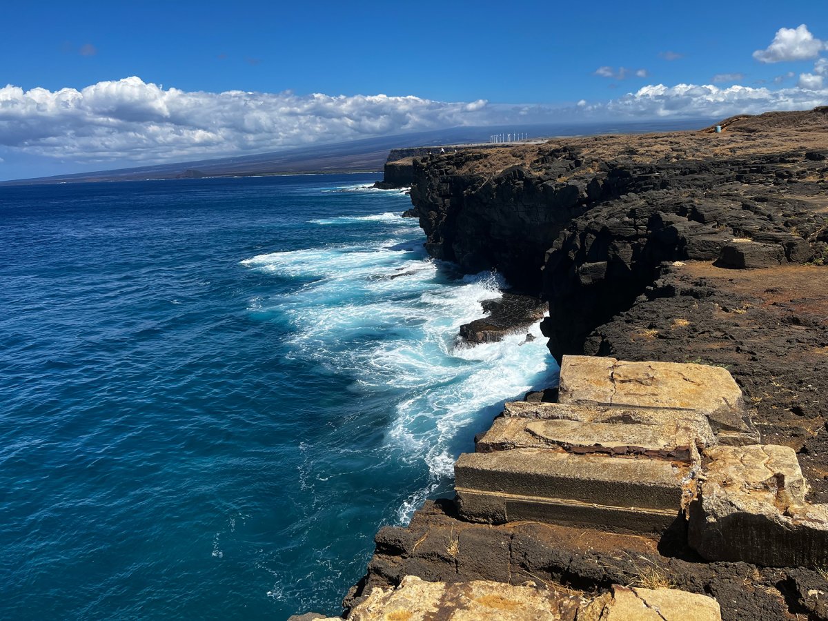 Big Island · Drive
Passport badge
Big Island · Drive
Passport badge
Hilo to South Point
A long-corridor drive down the Hawaiʻi Belt Road from Hilo through Volcano, Pāhala, and Naʻalehu to the southernmost point in the United States. Big climate shifts — rainforest to upland to lava country to the dry south coast. Passes the gateway to Hawaiʻi Volcanoes National Park at Volcano Village, where you can pivot onto Crater Rim Drive or Chain of Craters as separate audio tours. Ends at the Papakōlea / Green Sand Beach parking lot — from there it's a 2.5-mile hike each way to the actual beach.
Hilo → Papakōlea / Green Sand Beach Parking Lot at the end of South Point Road
Start checkpoint route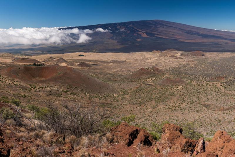 Big Island · Drive
Passport badge
Big Island · Drive
Passport badge
Saddle Road & Mauna Kea Drive
A 55-mile drive across the saddle between Mauna Kea and Mauna Loa on the Daniel K. Inouye Highway (Hwy 200) — recent lava fields, the Mauna Kea Visitor Information Station at 9,200 feet, panoramic views of Hawaii's two biggest volcanoes, and ranchland descent into Waimea (Kamuela). ~6 curated stops.
Hilo (junction of Hwy 200) → Waimea (Kamuela)
Start checkpoint route Big Island · Drive
Passport badge
Big Island · Drive
Passport badge
Kona Coffee Belt
A half-day drive down the Mamalahoa Kona Heritage Corridor — the 20-mile mauka strip on the leeward flank of Hualālai where Japanese immigrant families rebuilt the coffee industry after the 1899 collapse. Holualoa's gallery village, a free farm tour at Greenwell, the Living History Farm, the Kealakekua Bay overlook where Captain Cook died in 1779, the Painted Church, and the City of Refuge at the end. ~8 curated stops.
Holualoa village (Hwy 180) → Puʻuhonua o Hōnaunau (Hwy 160)
Start checkpoint route Big Island · Food
Passport badge
Big Island · Food
Passport badge
Big Island Local Dish Route
A trip-long Big Island food route built around Google Places-backed Hawaii Guide restaurant records in Kona, Waimea, and Hilo. Save it across a multi-day stay instead of treating it as a single crawl: local-style breakfast, comfort plates, seafood, brewpub energy, and Hilo favorites with live restaurant detail modals.
Kailua-Kona → Hilo
Start checkpoint route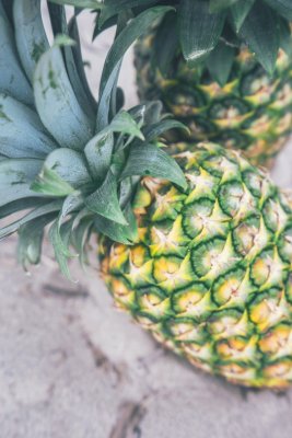 Oahu · Food
Passport badge
Oahu · Food
Passport badge
Oahu Local Dish Route
A trip-long Oahu food route built around Google Places-backed Hawaii Guide restaurant records in Honolulu. Save it across a multi-day stay instead of treating it as a single crawl: brunch, contemporary local food, Hawaiian plates, harbor seafood, and poke with live restaurant detail modals.
Kaimuki → Waikiki
Start checkpoint route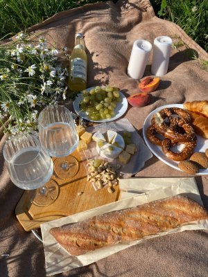 Maui · Food
Passport badge
Maui · Food
Passport badge
Maui Local Dish Route
A trip-long Maui food route built around Google Places-backed Hawaii Guide restaurant records in Wailuku, Kahului, and Paia. Save it across a multi-day stay instead of treating it as a single crawl: old-school breakfast, noodles, plate lunch, shrimp, coffee, and a North Shore seafood splurge with live restaurant detail modals.
Wailuku → Paia
Start checkpoint route Kauai · Food
Passport badge
Kauai · Food
Passport badge
Kauai Local Dish Route
A trip-long Kauai food route built around Google Places-backed Hawaii Guide restaurant records from Lihue through Kapaa, Kilauea, and Hanalei. Save it across a multi-day stay instead of treating it as a single crawl: saimin, seafood, breakfast, farm-to-table dining, fish-market plates, and taro with live restaurant detail modals.
Lihue → Hanalei
Start checkpoint route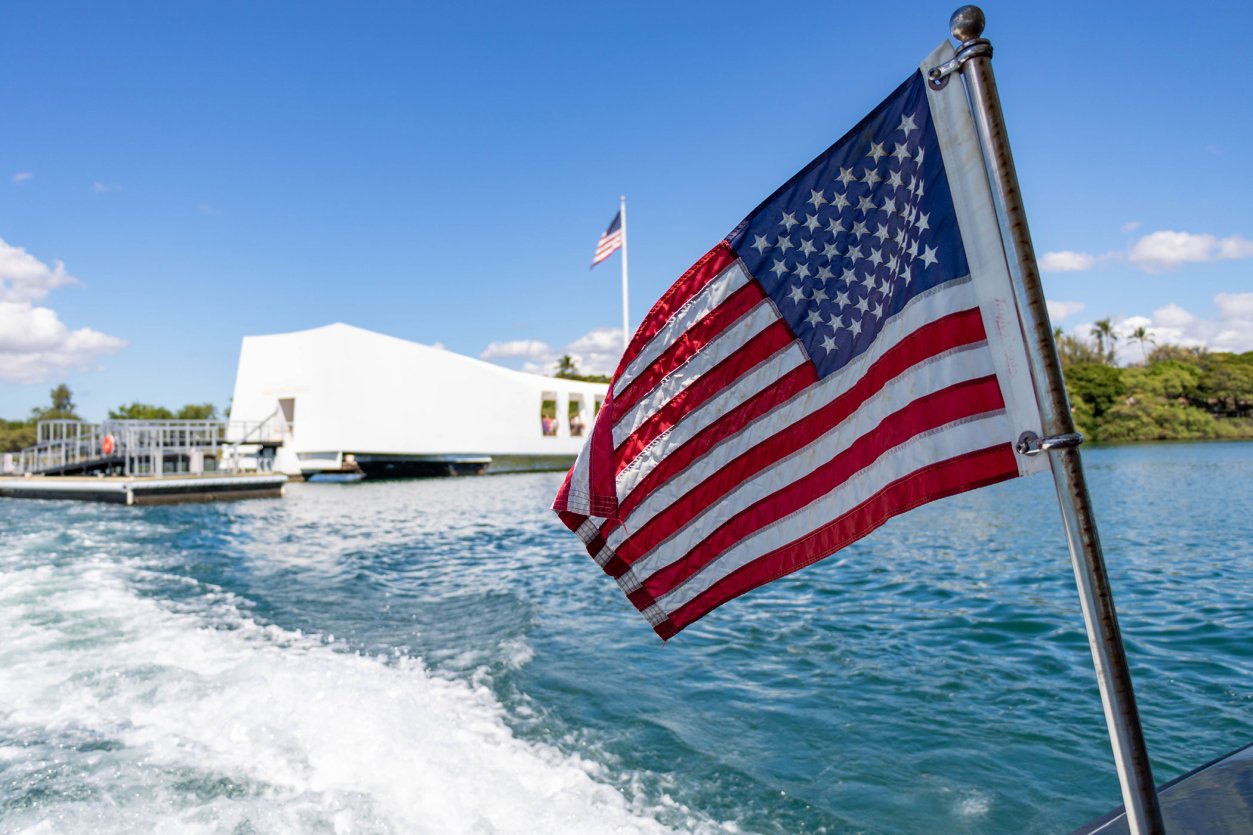 Oahu · Walk
Passport badge
Oahu · Walk
Passport badge
Pearl Harbor Walking Tour
A respectful, daylight-friendly walking circuit of the four historic sites at Pearl Harbor — the NPS Visitor Center and USS Arizona Memorial (free), the Pacific Fleet Submarine Museum and USS Bowfin (paid), and on Ford Island via the free NPS shuttle, the USS Oklahoma Memorial, the Battleship Missouri (paid), and the Pearl Harbor Aviation Museum (paid). Plan four to five hours for a comprehensive visit. ~7 curated stops.
Pearl Harbor Visitor Center → Pearl Harbor Aviation Museum (Ford Island)
Start checkpoint route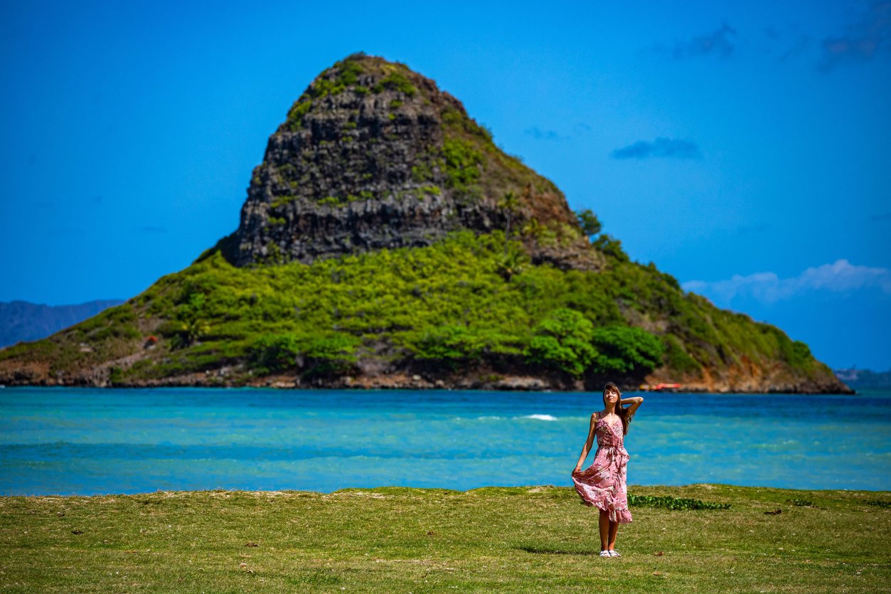 Oahu · Drive
Passport badge
Oahu · Drive
Passport badge
Windward Coast Drive
Oʻahu's windward coast, Nuʻuanu Pali to Kahuku — the Koʻolau cliffs on one side, turquoise bays on the other. A gateway lookout, Kailua and Lanikai, the Byōdō-In Temple, the Mokoliʻi islet, the Kualoa film valleys, the Polynesian Cultural Center, and quiet beaches most visitors miss. ~14 curated segments. Free self-guided audio tour.
Nuʻuanu Pali Lookout → Turtle Bay / Kuilima Cove (Kahuku)
Start checkpoint route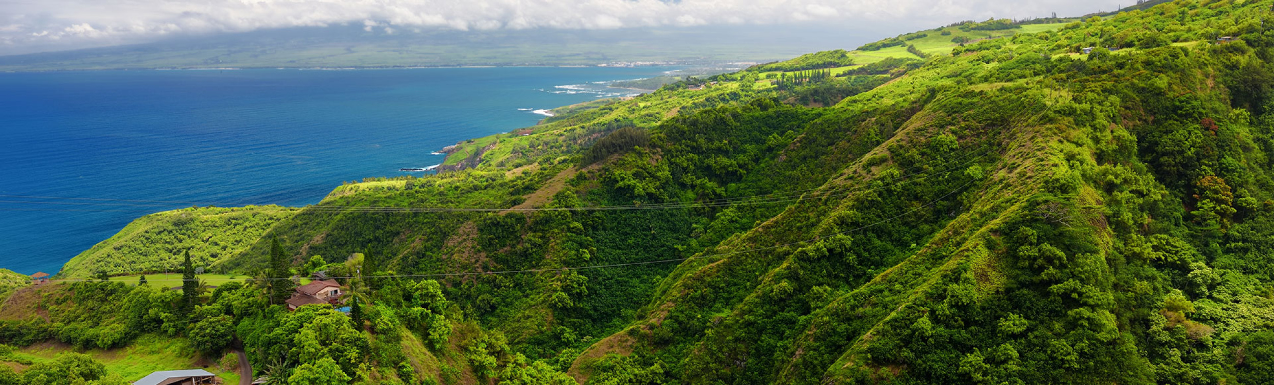 Maui · Drive
Passport badge
Maui · Drive
Passport badge
West Maui Loop
West Maui's wild back side — the one-lane Kahekili Highway around the island's rugged northwest tip. Kapalua and Honolua Bay, the Nakalele blowhole, a sacred bellstone, the Olivine Pools overlook, the green monolith of Kahakuloa Head, a banana-bread village frozen in time, and the Waiheʻe ridge. This is an advanced scenic drive, not a casual road trip — narrow, exposed, and unforgettable. Free self-guided audio tour.
Kapalua Bay → Waiheʻe / Wailuku
Start checkpoint route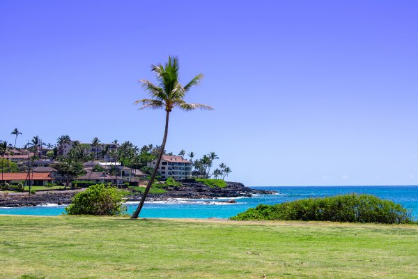 Kauai · Drive
Passport badge
Kauai · Drive
Passport badge
South Shore Kauaʻi
Kauaʻi's sunny south shore, the Tree Tunnel to the wild coast at Māhāʻulepū. The mile-long eucalyptus canopy, Old Kōloa Town where Hawaiian sugar began, the Spouting Horn blowhole, Prince Kūhiō's birthplace, the easy Poʻipū beaches with their resident monk seals, and the raw cliffs at the end of the road. A short, stop-heavy drive. Free self-guided audio tour.
Maluhia Road Tree Tunnel → Māhāʻulepū
Start checkpoint route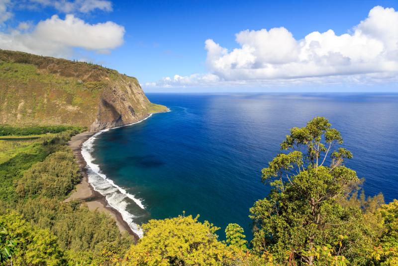 Big Island · Drive
Passport badge
Big Island · Drive
Passport badge
Hāmākua Coast
The Big Island's lush green coast — Hilo north to the Valley of the Kings. The Pepeʻekeo jungle scenic drive and Onomea Bay, the 442-foot ʻAkaka Falls, the Laupāhoehoe tsunami memorial, native upland rainforest at Kalōpā, old Honokaʻa town, and the dramatic Waipiʻo Valley Lookout. Waterfalls, gulches, and one-lane bridges. Free self-guided audio tour.
Pepeʻekeo Scenic Drive → Waipiʻo Valley Lookout
Start checkpoint route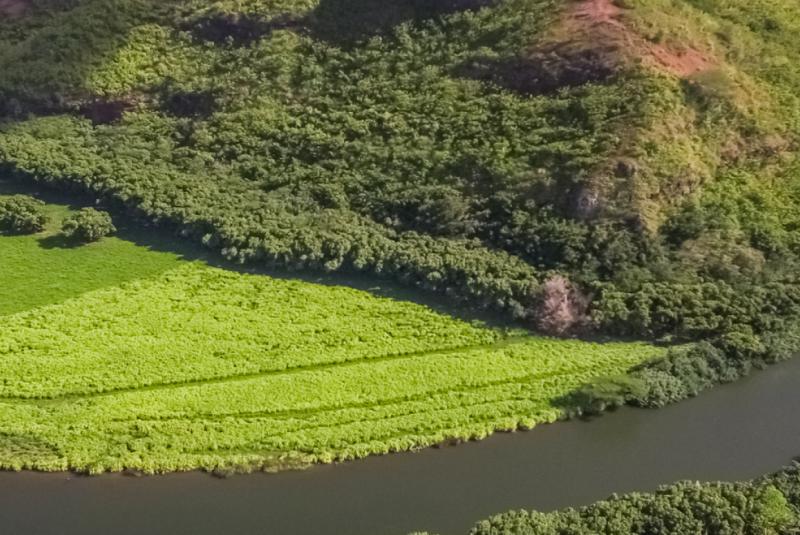 Kauai · Drive
Passport badge
Kauai · Drive
Passport badge
Coconut Coast Kauaʻi
Kauaʻi's East Side — the sacred heart of the island around the Wailua River. Wailua Falls, the royal birthstones and heiau of old Wailua, the ʻŌpaekaʻa Falls overlook, the boat-only Fern Grotto, Lydgate's calm swimming ponds, and easygoing Kapaʻa town under the Sleeping Giant. More of old Hawaiʻi's sacred history than almost anywhere. Free self-guided audio tour.
Wailua Falls → Kapaʻa
Start checkpoint route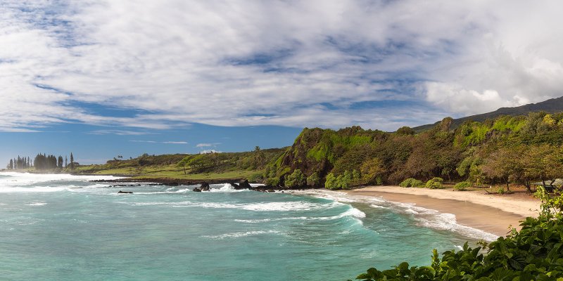 Maui · Drive
Passport badge
Maui · Drive
Passport badge
Hāna Backside Loop
A conditional route from Hāna through Kīpahulu and Kaupō to ʻUlupalakua and Kula. Continue only after checking current road status, daylight, your rental agreement, and driver and vehicle readiness. Use only clearly open, legal stops and travel through residential Kaupō without creating roadside pullouts. Free self-guided audio tour.
Hāna → Kula
Start checkpoint route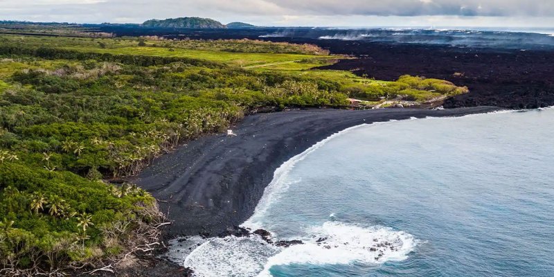 Big Island · Drive
Passport badge
Big Island · Drive
Passport badge
Puna Lava Coast
The Big Island's youngest, wildest corner — lower Puna's lava country. Old Pāhoa town, the eerie Lava Tree molds, the path of the 2018 Kīlauea eruption, the easternmost point at Cape Kumukahi, the brand-new black-sand beach at Pohoiki, the jungle Red Road, and Kalapana, where a village met the lava. The island being born and reborn on one short drive. Free self-guided audio tour.
Pāhoa → Kalapana / Kaimū
Start checkpoint routeNo routes match those filters yet.
Route map
See the route line or saved-stop sequence, tap stops, and keep your plan organized.
Narrators
Audio routes can switch between Mele and Kani, with the choice remembered across route pages.
Custom plan
Use presets or include chips to trim the route before printing or saving.
Passport badge
Check in at every eligible stop and the completed route badge lands in your HawaiiGuide Passport.
Transcripts
Narrated routes include readable text for silent planning.
Self-guided route planning
Use Hawaii Guide Routes when the drive, walk, or food plan is part of the trip
Hawaii Guide Routes are built for visitors who want a self-guided route experience without installing another app. Pick a drive, walking route, or local food shortlist, open the map and stop list, listen to narrated segments when available, and keep written details handy for quiet planning.
Use this tool when
- You want a browser-based guide for a scenic drive, walk, or local food shortlist.
- You are comparing routes by island, route type, and time commitment.
- You want stop-by-stop context without booking a paid tour or leaving the route page.
How to choose a route
Start with the island you are visiting, then decide whether your plan fits a drive, a walkable district, a food route, a short route, a multi-day shortlist, or a fuller route. Before leaving, compare the route start and end points against your lodging, daylight, weather, road conditions, and meal timing.
How it fits your trip
Use the route hub after broad itinerary planning and before you start the day. It pairs well with saved plans, maps, arrival logistics, and current conditions so the route supports the trip instead of becoming the whole trip.
Questions This Tool Answers
Are the Hawaii audio routes free?
Yes. The routes hub presents free Hawaii Guide driving, walking, and food-planning routes that open in the browser; no separate app is required.
Should I use audio routes instead of a written itinerary?
Use routes as focused companions after you choose the island, day plan, or food priorities. Written guides and My Trip are still useful for comparing options before you drive, walk, or save restaurants.
Do route badges replace safe driving decisions?
No. Checkpoints are optional trip features. Follow posted signs, road conditions, closures, and local guidance first.

Need help planning?
Search & Planning Chat →

Hawaiʻi Weather Forecast
Today’s Weather Brief · Audio · ~45s
0:00
0:54
Read the transcript
Trades are breezy right now with scattered showers on the windward side and mountains; the leeward coast stays mostly dry. Tomorrow stays breezy with the same pattern.
A tropical disturbance southeast of the islands is likely to become a tropical storm by mid-week and approach the state Thursday through Saturday. The exact track is still uncertain. If it comes closer, expect heavier rain over a longer stretch; if it stays farther out, impacts will be shorter and lighter. Winds will increase late this week, with potential gusts over 70 miles per hour on the highest summits.
Plan your leeward beach time and snorkeling for today through Tuesday. Save summit drives and offshore water sports for after Saturday, and check updates daily as this develops.
Created with AI from the official NWS forecast discussion · verify with NWS before heading out
Loading forecast…
Temperature
Weather data by Open-Meteo.com
Current Time in Hawaiʻi
--:----
Hawaiʻi Standard Time · UTC−10 · No Daylight Saving
You’re on Hawaiʻi timeMainland US
International
Aloha Today daily podcast →
Full HST breakdown, FAQ & DST schedule →

Get Your Free Hawaii Visitor Guide
Enter your email and we'll send you instant access to our free 2026 Hawaii Starter Guide + Summary Guidesheets.